The best walks and hikes around Schlierbachswald
4.7
(7195)
23,472
hikers
28
hikes
Hiking around Schlierbachswald offers diverse landscapes within a low mountain range spanning Hesse and Thuringia. The region is characterized by predominantly wooded hills covered in beech mixed forests, providing varied terrain for hikers. Elevations reach up to 477.5 meters, with the Hundsrück being its highest point. A notable natural feature is the Blaue Kuppe, an extinct volcano formed from basalt rock, now a nature reserve with circular trails and views over Eschwege.
Best hiking trails around Schlierbachswald
- The most popular…
Last updated: July 1, 2026
4.8
(96)
303
hikers
Hard hike. Very good fitness required. Easily-accessible paths. Suitable for all skill levels.
4.8
(10)
22
hikers
5.76km
01:33
70m
70m
Easy hike. Great for any fitness level. Easily-accessible paths. Suitable for all skill levels.

Sign up for free
4.5
(4)
14
hikers
Moderate hike. Good fitness required. Easily-accessible paths. Suitable for all skill levels.
4.8
(4)
14
hikers
18.8km
05:17
360m
360m
Hard hike. Very good fitness required. Easily-accessible paths. Suitable for all skill levels.
4.6
(11)
17
hikers
7.56km
02:02
90m
90m
Moderate hike. Good fitness required. Easily-accessible paths. Suitable for all skill levels.
Get access to more routes and recommendations from other explorers.
Sign up for free
Already have an account?
Our route recommendations are based on thousands of hikes, rides, and runs completed by other people on komoot.
Start today with a free account
Your next adventure awaits.
Login or Signup
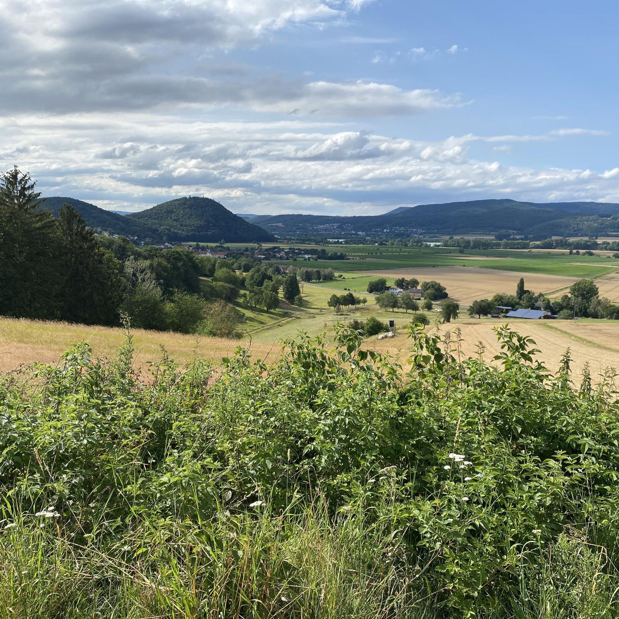
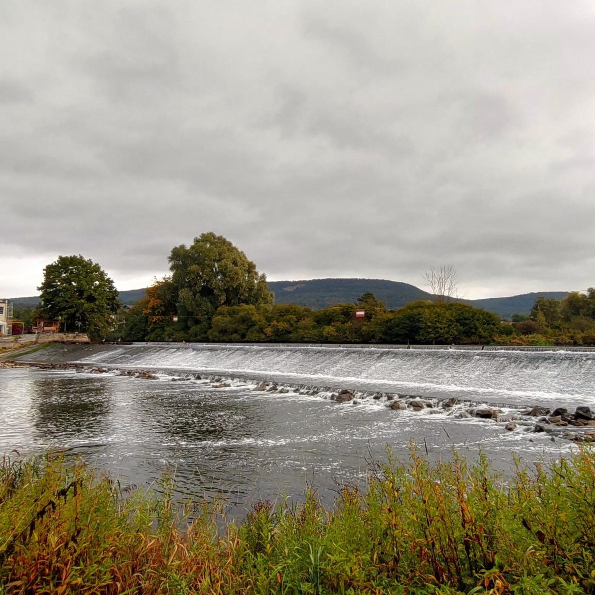
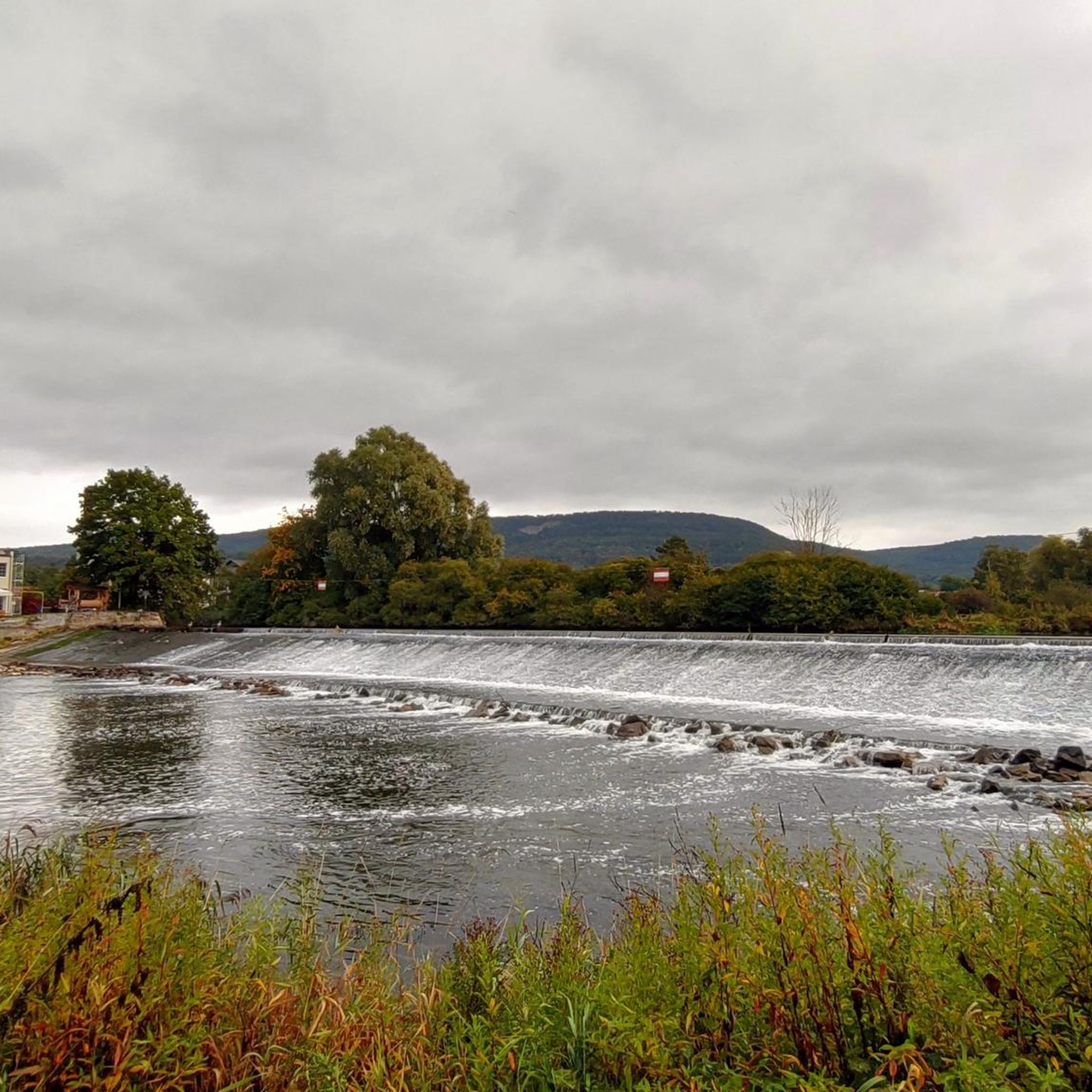
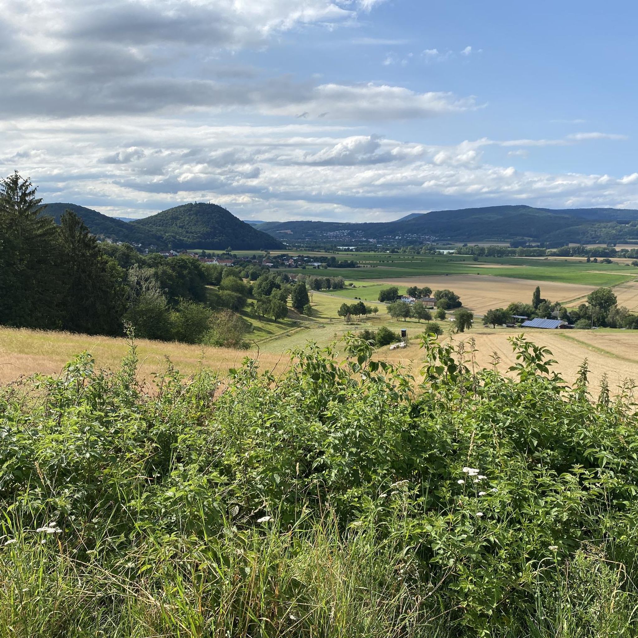

Tips from the Community

Take a break right on the 478-meter-high summit of Hundsrück. Unfortunately, there's no view from here.
0
0
The viewpoint has become so overgrown that the view is unfortunately no longer very pleasant. You can still see the town of Reichensachsen and the new motorway bridge, but that's about it. At least there's a nice rest area there, and the wonderful, rustic beech forests are especially worth a visit.
3
0

Great church, which is very beautiful and easy to reach.
0
0

Here, the Protestant Market Church regularly hosts Sunday services at 10:00 a.m. The church is also open to the public outside of services. A digital church guide is available inside, where you can learn more about the Market Church.
0
0

open daily from 10:00 - 17:00
0
0

There are many opportunities to rest here
6
0

Today, Saturday, was market day again. And the homemade bratwurst with bread roll and mustard was excellent, as always. 😉
3
0
Almost every Sunday service at 10:00 am
0
0
Frequently Asked Questions
How many hiking trails are available in Schlierbachswald?
Schlierbachswald offers a diverse network of over 30 hiking routes. These trails cater to various fitness levels, ranging from easy strolls to more challenging mountain paths, allowing extensive exploration of the region's natural environment.
What kind of terrain can I expect when hiking in Schlierbachswald?
The Schlierbachswald is characterized by predominantly wooded hills, covered in refreshing beech mixed forests. You'll find varied terrain with rolling hills and dense woodlands, part of the Osthessisches Bergland. Elevations reach up to 477.5 meters, with the Hundsrück being the highest peak. Trails often pass through beautiful pastures, apple groves, and agricultural fields, offering a mix of deep forests and wide-open spaces.
Are there any easy hiking trails suitable for beginners or families in Schlierbachswald?
Yes, Schlierbachswald has several easy trails perfect for beginners or families. For instance, the Hundsrück Bench – View from Lotzenkopf loop from Rößlerskopf is an easy 3.6-mile (5.8 km) path that provides access to the Hundsrück and views from Lotzenkopf. There are 14 easy routes in total, offering accessible options for everyone.
What are some notable natural features or landmarks to see while hiking in Schlierbachswald?
A prominent natural feature is the Blaue Kuppe, an extinct basalt volcano within the Geo Naturpark Frau Holle Land. A circular trail there offers views into past basalt quarrying basins and expansive panoramas over Eschwege. Other key attractions include the View from Lotzenkopf, the Auer Blick Viewpoint, and the Hundsrück Bench, all offering scenic vistas.
Are there any challenging hikes in Schlierbachswald for experienced hikers?
Absolutely. For experienced hikers seeking a challenge, Schlierbachswald offers routes with steep mountain paths. A difficult option is the View from Lotzenkopf – Bismarck Tower Eschwege loop from Schlierbachswald, an 11.9-mile (19.2 km) trail with significant elevation changes, offering expansive views from Lotzenkopf. There are 2 difficult routes in the region, providing rewarding experiences.
Are there circular hiking routes available in Schlierbachswald?
Many of the trails in Schlierbachswald are designed as circular routes, allowing you to start and end at the same point. For example, the View from Lotzenkopf – View from Lotzenkopf loop from Schlierbachswald is a 5.6-mile (9.0 km) trail through varied woodlands. The region's layout with numerous forest and hiking trails makes circular walks a common and enjoyable option.
What do other hikers enjoy most about hiking in Schlierbachswald?
The komoot community highly rates hiking in Schlierbachswald, with an average score of 4.6 stars from over 2,600 reviews. Hikers often praise the diverse landscapes, the refreshing beech mixed forests, and the uncrowded, well-signposted routes that allow for extensive exploration of nature. The combination of deep forests, wide fields, and notable landmarks like the Blaue Kuppe also receives positive feedback.
Is there parking available near the hiking trails in Schlierbachswald?
Yes, there are designated parking areas to access the trails. For instance, you can find a Parking Area at Geo-Naturpark Frau-Holle-Land, which serves as a convenient starting point for exploring the Blaue Kuppe and surrounding routes.
Are there any viewpoints in Schlierbachswald that offer panoramic views?
Schlierbachswald is rich in viewpoints offering stunning panoramas. The View from Lotzenkopf is a popular spot, as is the Auer Blick Viewpoint, which provides scenic views over the Eschwege basin. The Berliner Turm, an observation tower near Datterode, also offers elevated vistas over the western foothills of the Schlierbachswald.
What is the best time of year to go hiking in Schlierbachswald?
Schlierbachswald, with its predominantly wooded hills, offers a refreshing natural experience throughout much of the year. Spring and autumn are particularly beautiful, with vibrant foliage and comfortable temperatures. The dense forests provide shade in summer, while the low mountain range character makes it accessible for hiking in various seasons, depending on weather conditions.
Are there any places to eat or rest along the hiking routes?
While specific cafes or pubs directly on every trail might be limited, the Forsthaus Schlierbach near Oberdünzebach serves as a potential point of interest or a starting point for hikes, offering a place to rest. It's advisable to check local amenities in surrounding towns like Eschwege for dining options before or after your hike.
Most popular routes around Schlierbachswald
Most popular attractions around Schlierbachswald

Get inspired with the komoot mobile app


Explore more
Browse the best Hikes in other regions.
