The best mountain hikes around Gangolfsberg-Heppberg
3.0
(3)
14
hikers
5
hikes
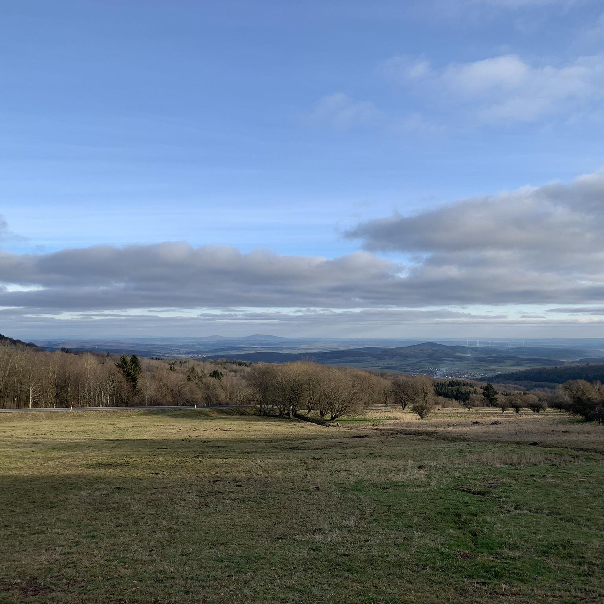
Mountaineering routes around Gangolfsberg-Heppberg traverse a landscape characterized by the low mountain range of the Rhön, featuring forested slopes, open plateaus, and historic sites. The region offers varied terrain suitable for moderate mountaineering experiences. Elevations include notable peaks like Kreuzberg, providing panoramic views across the surrounding countryside.
Best mountaineering routes around Gangolfsberg-Heppberg
- The most popular mountaineering route is View from the summit of Kreuzberg – Kreuzberg Monastery loop from Bischofsheim in der Rhön, a 9.3 miles (15.0 km) trail…
Last updated: July 2, 2026
1.0
(1)
1
hikers
Moderate mountaineering route. Good fitness required. Easily-accessible paths. Suitable for all skill levels.
5.0
(2)
6
hikers
13.6km
04:12
490m
490m
Moderate mountaineering route. Good fitness required. Easily-accessible paths. Suitable for all skill levels.

Sign up for free
3
hikers
7.31km
02:05
170m
170m
Moderate mountaineering route. Good fitness required. Easily-accessible paths. Suitable for all skill levels.
2
hikers
Moderate mountaineering route. Good fitness required. Easily-accessible paths. Suitable for all skill levels.
2
hikers
Moderate mountaineering route. Good fitness required. Easily-accessible paths. Suitable for all skill levels.
Our route recommendations are based on thousands of hikes, rides, and runs completed by other people on komoot.
Start today with a free account
Your next adventure awaits.
Login or Signup
Popular around Gangolfsberg-Heppberg

Naturlehrpfade – Natur und Wissen

Rundwanderwege um Oberelsbach
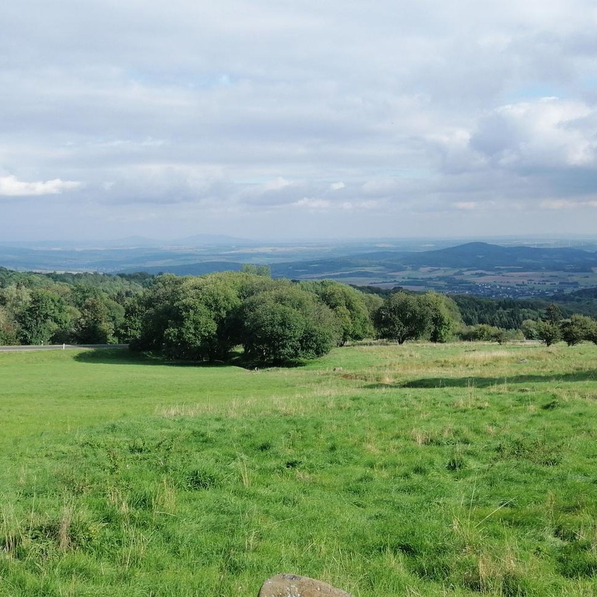
Hiking around Gangolfsberg-Heppberg
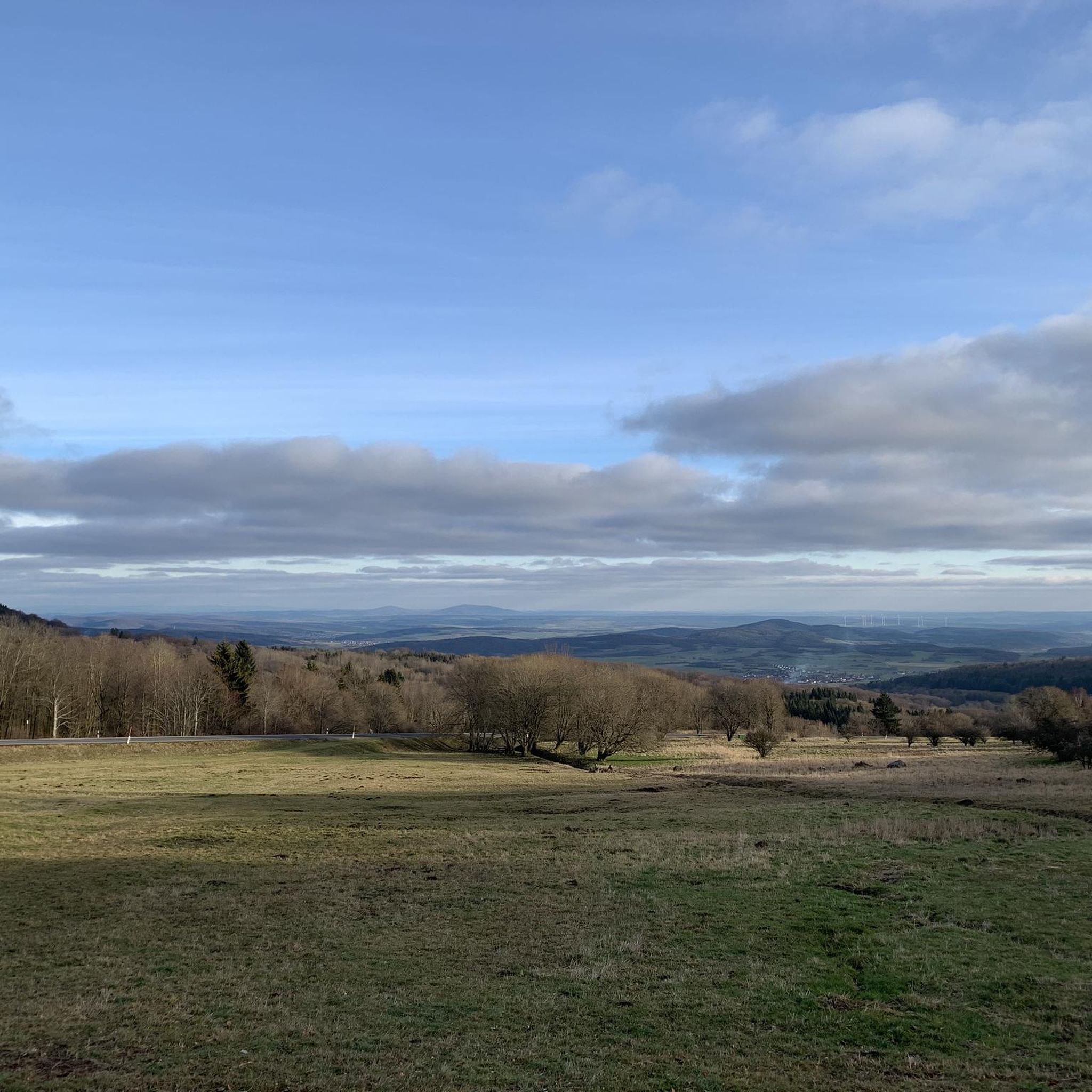
Cycling around Gangolfsberg-Heppberg
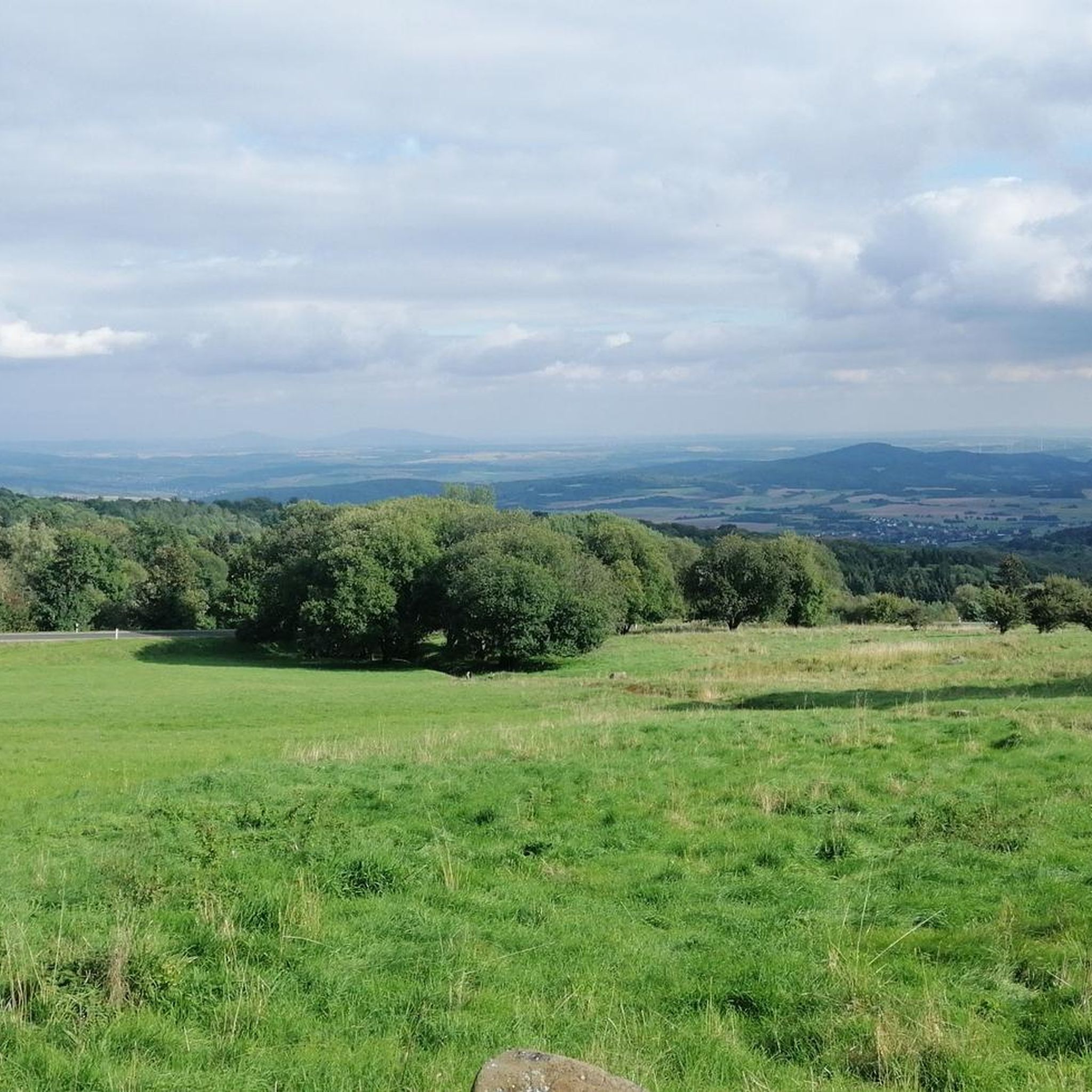
Running Trails around Gangolfsberg-Heppberg
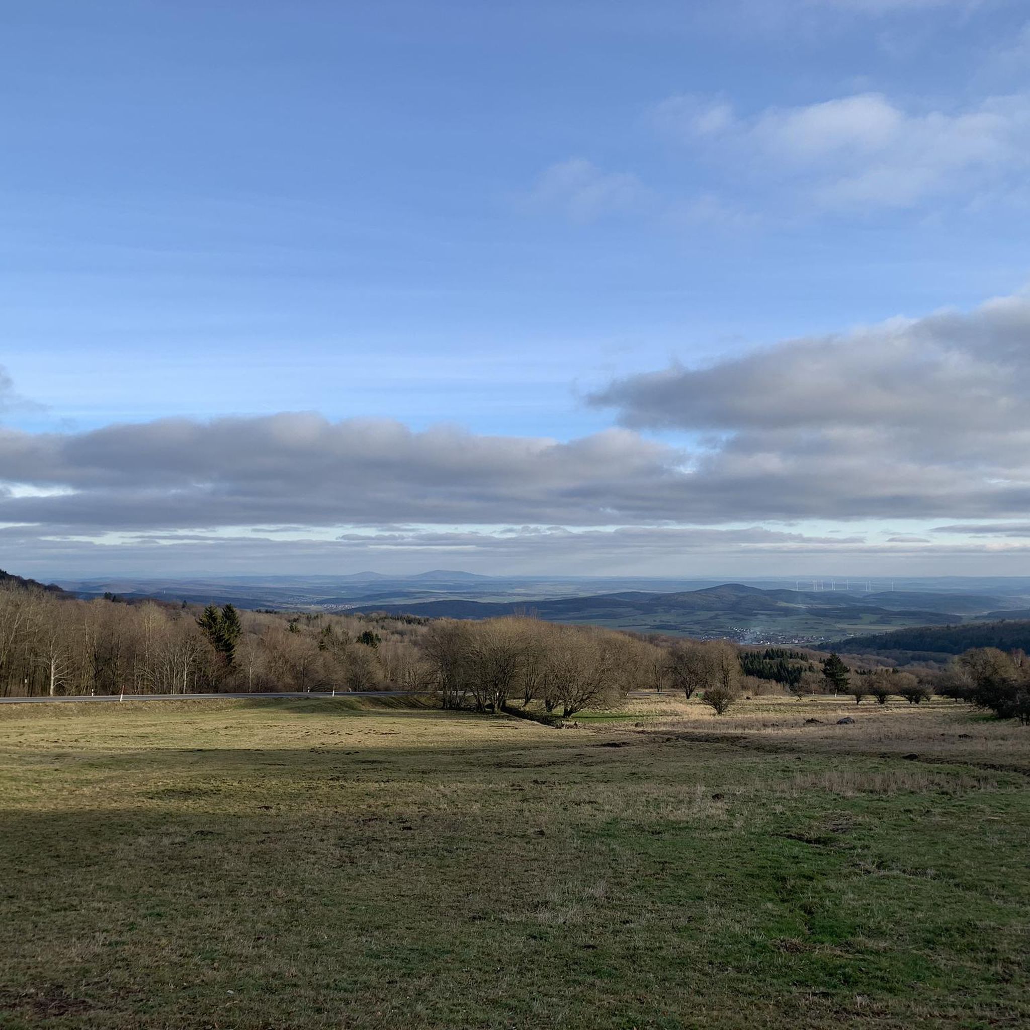
Road Cycling Routes around Gangolfsberg-Heppberg
MTB Trails around Gangolfsberg-Heppberg
Gravel biking around Gangolfsberg-Heppberg
Other adventures around Gangolfsberg-Heppberg

Tips from the Community

Great view from the Osterburg
0
0


One of the last raised bogs in Hesse. Peat mining was stopped here in 1986… Today, renaturation is the magic word
13
0

You can stop by
3
0

Really nice and quiet in the morning. From 12pm onwards it is often very busy.
1
1

This small fountain is located on the way down from Kreuzberg to Neustädter Haus.
0
0

Very nice town with town hall.
5
0
Frequently Asked Questions
What kind of mountaineering routes can I expect around Gangolfsberg-Heppberg?
The Gangolfsberg-Heppberg area, nestled in the Rhön low mountain range, offers moderate mountaineering routes characterized by forested slopes, open plateaus, and historic sites. You'll find varied terrain suitable for enjoyable experiences, often leading to panoramic views.
Are there any easy or beginner-friendly mountaineering routes in Gangolfsberg-Heppberg?
All the mountaineering routes featured in this guide for Gangolfsberg-Heppberg are rated as moderate. While none are specifically classified as 'easy' for beginners, their moderate difficulty makes them accessible to those with a reasonable level of fitness and some hiking experience.
What are some of the longer mountaineering routes in the region?
For a longer outing, consider the View from the summit of Kreuzberg – Kreuzberg Monastery loop from Bischofsheim in der Rhön, which spans nearly 15 km and typically takes around 4 hours 35 minutes. Another substantial option is the Marienbrünnlein – Kreuzberg Summit loop from Unterweißenbrunn, covering 13.6 km.
Are there any circular mountaineering routes around Gangolfsberg-Heppberg?
Yes, many routes in the area are circular. For example, the Cascade Gorge – View of the Wasserkuppe loop from Rotes Moor is a popular circular trail that takes you through the scenic Cascade Gorge.
What interesting natural sights can I discover along the mountaineering trails?
The region boasts several unique natural attractions. You can explore the impressive Basalt Prism Wall at Gangolfsberg, venture into the Teufelskeller (Devil’s Cellar), or walk along the Basalt Stone Path to Prismenwand. These geological formations add a unique character to the landscape.
Are there any historical landmarks or points of interest on the routes?
Absolutely. Many routes incorporate historical elements. For instance, the Osterburg castle ruins – Kreuzberg Monastery loop from Bischofsheim in der Rhön takes you past the historic Kreuzberg Monastery and the Osterburg castle ruins, offering a glimpse into the region's past.
What is the best time of year for mountaineering in Gangolfsberg-Heppberg?
The Rhön region, including Gangolfsberg-Heppberg, is generally best explored from spring through autumn. These seasons offer pleasant temperatures and vibrant landscapes. While winter mountaineering is possible, conditions can be challenging with snow and ice, requiring appropriate gear and experience.
Are there any viewpoints offering panoramic vistas?
Many routes in the area lead to excellent viewpoints. The Kreuzberg summit, for example, is a prominent feature and offers extensive panoramic views across the surrounding Rhön countryside. Routes like the View from the summit of Kreuzberg – Kreuzberg Monastery loop from Bischofsheim in der Rhön are specifically designed to highlight these scenic spots.
What do other mountaineers say about the routes in Gangolfsberg-Heppberg?
The mountaineering routes in Gangolfsberg-Heppberg are well-regarded by the komoot community, holding an average rating of 3.0 stars. Users often praise the diverse forest and open-field scenery, as well as the well-maintained trails that lead to rewarding views.
Is it possible to access the mountaineering trails using public transport?
While specific public transport connections vary, the Rhön region has some bus services connecting villages. It's advisable to check local bus schedules for Bischofsheim in der Rhön or Unterweißenbrunn, as these are common starting points for routes, to plan your access effectively.
Where can I find parking for the mountaineering routes?
Many of the trailheads, especially in towns like Bischofsheim in der Rhön and Unterweißenbrunn, offer designated parking areas for hikers. It's common to find parking near popular starting points for routes leading to Kreuzberg or other key attractions.
Are there any huts or places to rest along the trails?
Yes, you might encounter huts or rest areas. For instance, the Thuringian Hut is a notable spot that could serve as a resting point or a place to grab refreshments, depending on its operating hours.
Most popular routes around Gangolfsberg-Heppberg
Most popular attractions around Gangolfsberg-Heppberg

Get inspired with the komoot mobile app


Explore more
Browse the best Mountain Hikes & Routes in other regions.
