The best MTB trails around Waldgebiet Ruhleben
4.6
(946)
4,056
riders
220
rides
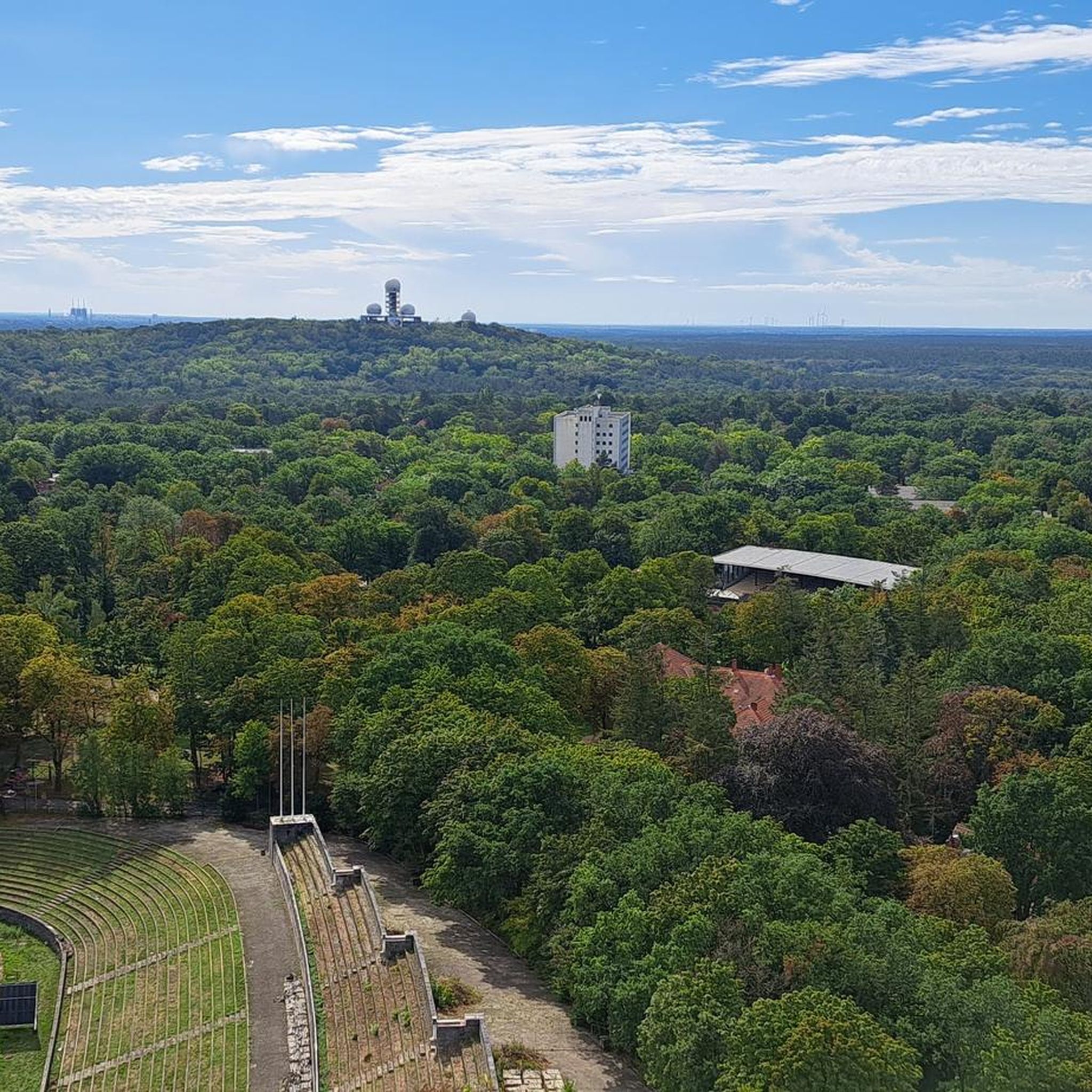
Mountain biking around Waldgebiet Ruhleben offers diverse terrain within Berlin's western part, characterized by extensive woodlands and varied elevation. The area features compact forests with root paths, ascents, and descents, providing natural mountain biking terrain. Gentle hills like Teufelsberg and Drachenberg contribute to the varied landscape, while the Fließwiese Ruhleben Wetland adds a different ecological perspective. This region provides a combination of forest paths and some elevation changes suitable for mountain biking.
Best mountain bike trails around Waldgebiet Ruhleben
- The…
Last updated: July 6, 2026
5.0
(4)
25
riders
11.1km
00:56
140m
140m
Hard mountain bike ride. Great for any fitness level. Advanced riding skills necessary. Some portions of the route may require you to push your bike.
4.0
(3)
12
riders
Hard mountain bike ride. Great for any fitness level. Advanced riding skills necessary. Some portions of the route may require you to push your bike.

Sign up for free
4.6
(5)
20
riders
23.4km
01:14
50m
50m
Easy mountain bike ride. Great for any fitness level. Suitable for all skill levels.
5.0
(1)
4
riders
51.9km
02:52
80m
80m
Moderate mountain bike ride. Good fitness required. Suitable for all skill levels.
3.0
(1)
4
riders
Easy mountain bike ride. Great for any fitness level. Suitable for all skill levels.
Get access to more routes and recommendations from other explorers.
Sign up for free
Already have an account?
Our route recommendations are based on thousands of hikes, rides, and runs completed by other people on komoot.
Start today with a free account
Your next adventure awaits.
Login or Signup
Other adventures around Waldgebiet Ruhleben

Tips from the Community

I can't even remember that anymore
0
0

Berlin-Tegel "Otto Lilienthal" Airport was an international airport in Tegel from 1974 to November 8, 2020. It was decommissioned on May 5, 2021; the northern section still serves as a military heliport. Before its closure, Tegel was near its peak of operations: an aircraft took off or landed approximately every two minutes (original sound: 6 a.m. to 11 p.m.), and approximately 22 million passengers were handled annually. In June 2019, Tegel was the fourth-largest airport in Germany and the 28th-largest in Europe. Since 2022, the site has served as a refugee shelter and, with thousands of people, is the largest emergency reception center in Europe. There are plans for permanent accommodation on a nearby Bundeswehr site. Historically, Tegel has a long military and aviation history: Originally part of the Jungfernheide, it was used as a hunting ground for the Prussian kings, and later as an artillery firing range. An airship hangar was built starting in 1906; airships such as the Gross-Basenach and Parseval were tested. During the First World War, the Airship Replacement Department was established; the Tegel Airship Port played a key role. Construction of the new hangar began in 1914. After the First World War, the reconstruction of the Reich's air force was prohibited due to the Treaty of Versailles; airships were discontinued, and the hangar was demolished. In 1930, the Tegel rocket launching range opened under Rudolf Nebel; tests of liquid-fueled rockets led Wernher von Braun and others to additional locations (Kummersdorf-Gut, Peenemünde). During the Second World War, the site served as a Luftwaffe training area. In the main hangar of today's airport were relief portraits of Nebel, Oberth, and von Braun, removed in 2018. After the Second World War, the site was heavily damaged by bomb craters; unexploded bombs and remnants of ammunition are still present. The original plan was to build an allotment/residential settlement on part of the site to alleviate the housing shortage.
0
0

A very beautiful mountain; my recommendation would be to actually cycle around the summit. However, you'll need a mountain bike to do this, as you'll be riding on rocky and steep terrain. Afterward, I'd recommend the downhill ride toward Teuffelsschaussee. It's very fast and fun to ride down.
1
1

Drives reliably and cost-effectively
0
0

The trail is blocked by tree trunks in the front part.
0
0


Memorial site on the Wall Trail with information boards
0
0
The Teufelsseekanal is a branch canal of the Oberhavel in Berlin, district of Spandau, district of Hakenfelde.
0
0
Frequently Asked Questions
How many mountain bike trails are available in Waldgebiet Ruhleben?
There are over 240 mountain bike routes around Waldgebiet Ruhleben, offering a wide range of options for different skill levels and preferences.
Are there mountain bike trails suitable for beginners in Waldgebiet Ruhleben?
Yes, Waldgebiet Ruhleben offers nearly 60 easy mountain bike routes. A good option for beginners is the Tegeler Tannenallee – Aalemannkanal Bridge loop from Haselhorst, which is 14.0 miles (22.5 km) long and features minimal elevation changes.
What kind of terrain can I expect on mountain bike trails in Waldgebiet Ruhleben?
The terrain in Waldgebiet Ruhleben is characterized by dense woodlands, gentle hills, and scenic lake views. You'll find a mix of forest paths, lakeside trails, and some varied terrain, including parts of the Grunewald forest and hills like Teufelsberg and Drachenberg.
Are there any challenging mountain bike routes for experienced riders?
Absolutely. For experienced riders seeking a challenge, there are 36 difficult routes. Consider the Drachenberg – Teufelsberg loop from Neu-Westend, a 16.2 miles (26.1 km) route with significant elevation changes, providing a demanding ride.
What is the best time of year for mountain biking in Waldgebiet Ruhleben?
The best time for mountain biking in Waldgebiet Ruhleben is typically from spring through autumn (April to October). During these months, the weather is generally pleasant, and the forest trails are in optimal condition. Winter riding is possible, but trails can be muddy or icy.
Are there any scenic viewpoints or attractions along the mountain bike trails?
Yes, the area offers several points of interest. You can find landmarks like the Memorial at Murellenberg, the Murellenschlucht Memorial Trail, and the Fließwiese Ruhleben Wetland. Many routes also feature views of lakes like Schlachtensee and Wannsee.
Are there mountain bike trails suitable for families with children?
Many of the easy and moderate routes in Waldgebiet Ruhleben are suitable for families, especially those that stick to wider forest paths and lakeside trails. Look for routes with lower elevation gain and shorter distances for a more family-friendly experience.
Are there loop mountain bike trails in Waldgebiet Ruhleben?
Yes, the majority of mountain bike routes in Waldgebiet Ruhleben are designed as loops, allowing you to start and finish at the same point. This makes planning your ride and return journey straightforward.
What do other mountain bikers enjoy most about the trails in Waldgebiet Ruhleben?
The mountain bike trails in Waldgebiet Ruhleben are highly rated by the komoot community, with an average score of 4.6 stars from over 900 reviews. Riders often praise the diverse landscape, the combination of forest paths and scenic lake views, and the variety of options for different skill levels.
Is there public transport access to the mountain bike trails in Waldgebiet Ruhleben?
Yes, many trailheads in and around Waldgebiet Ruhleben are accessible via public transport, particularly S-Bahn and U-Bahn stations in western Berlin. This allows for convenient access without needing a car.
Where can I find parking for mountain biking in Waldgebiet Ruhleben?
Parking is generally available at various entry points to the Grunewald forest and near popular recreational areas like Teufelsberg or the lakes. Specific parking information can often be found on individual route pages on komoot.
Most popular routes around Waldgebiet Ruhleben
Most popular attractions around Waldgebiet Ruhleben

Get inspired with the komoot mobile app


Explore more
Browse the best MTB trails in other regions.
