The best walks and hikes around Vífilsstaðavatn
4.4
(503)
7,281
hikers
280
hikes
Hiking around Vífilsstaðavatn offers trails through varied terrain surrounding the lake. The area features a mix of open landscapes, arboretum sections, and paths near historical sites. Elevation changes are generally moderate, providing accessible routes for different skill levels. The region's natural features include the lake itself and surrounding hills.
Best hiking trails around Vífilsstaðavatn
- The most popular hiking route is Vífilsstaða Lake – Ruins of Gunnhildur Shelter loop from Vífilsstaðavatn, a 2.4 miles (3.8 km) trail that takes 1 hour 5 minutes to complete. This easy route features paths along the lake and towards historical ruins.
- Another top favourite among local hikers is Ruins of Gunnhildur Shelter – Arboretum Trail loop from Vífilsstaðavatn, a moderate 5.1 miles (8.2 km) path. This trail includes sections through an arboretum and offers views of the surrounding landscape.
- Local hikers also love the Ruins of Gunnhildur Shelter loop from Vífilsstaðavatn, a 4.1 miles (6.6 km) trail leading through varied terrain near the lake, often completed in about 1 hour 50 minutes.
- Hiking around Vífilsstaðavatn is defined by lake-side paths, arboretum sections, and routes near historical ruins. The network offers options for different ability levels, from easy walks to more moderate hikes.
- The routes in Vífilsstaðavatn are highly rated by the komoot community with an average score of 4.4 stars from more than 400 reviews. More than 6000 hikers have used komoot to explore Vífilsstaðavatn's varied terrain.
Last updated: July 1, 2026
18
hikers
Easy hike. Great for any fitness level. Easily-accessible paths. Suitable for all skill levels.
5.0
(1)
12
hikers
8.15km
02:16
150m
150m
Moderate hike. Good fitness required. Easily-accessible paths. Suitable for all skill levels.

Sign up for free
8
hikers
6.58km
01:50
120m
130m
Easy hike. Great for any fitness level. Easily-accessible paths. Suitable for all skill levels.
5.0
(1)
5
hikers
3.90km
01:08
100m
100m
Easy hike. Great for any fitness level. Easily-accessible paths. Suitable for all skill levels.
5.0
(1)
29
hikers
4.39km
01:09
30m
40m
Easy hike. Great for any fitness level. Easily-accessible paths. Suitable for all skill levels.
Get access to more routes and recommendations from other explorers.
Sign up for free
Already have an account?
Our route recommendations are based on thousands of hikes, rides, and runs completed by other people on komoot.
Start today with a free account
Your next adventure awaits.
Login or Signup
Tips from the Community

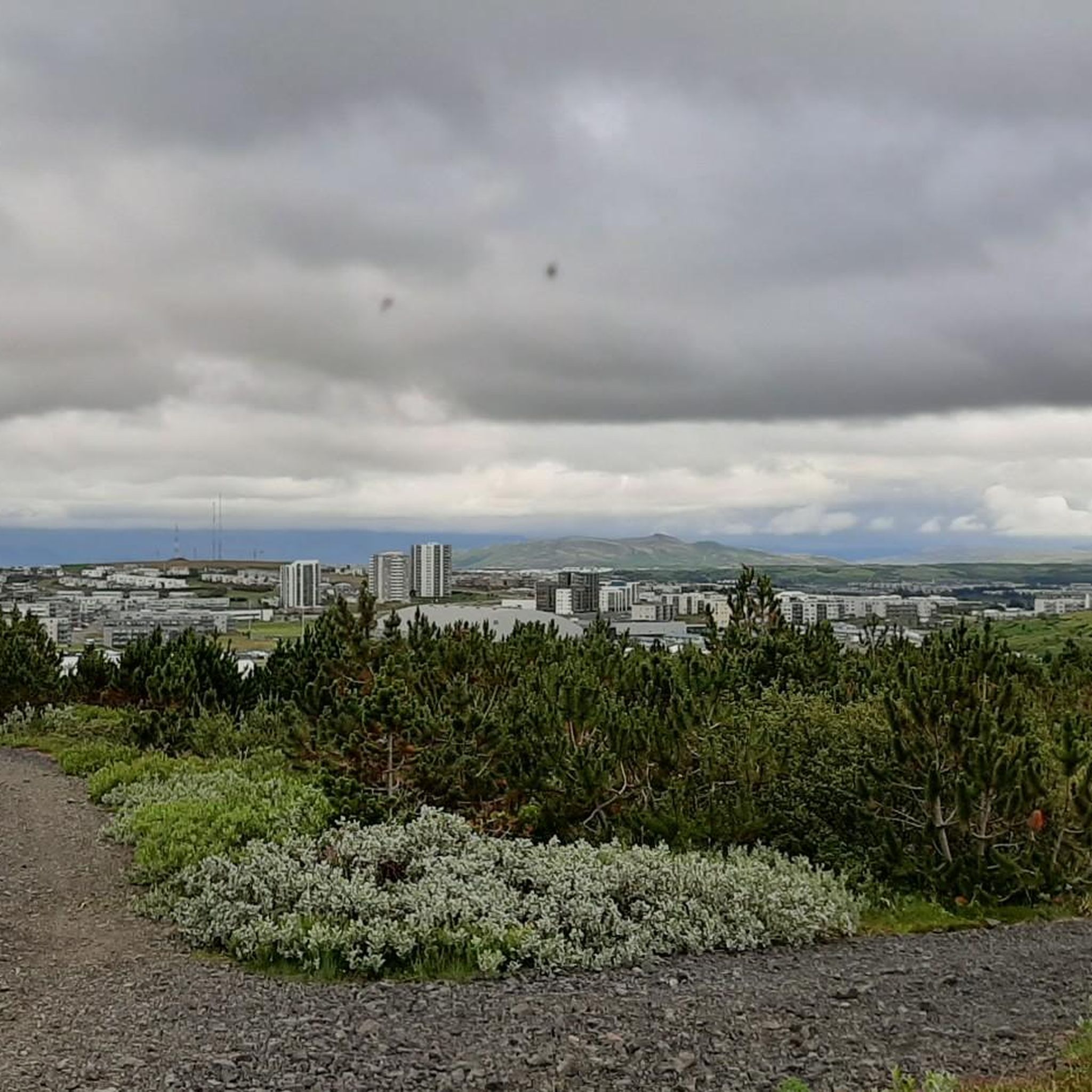
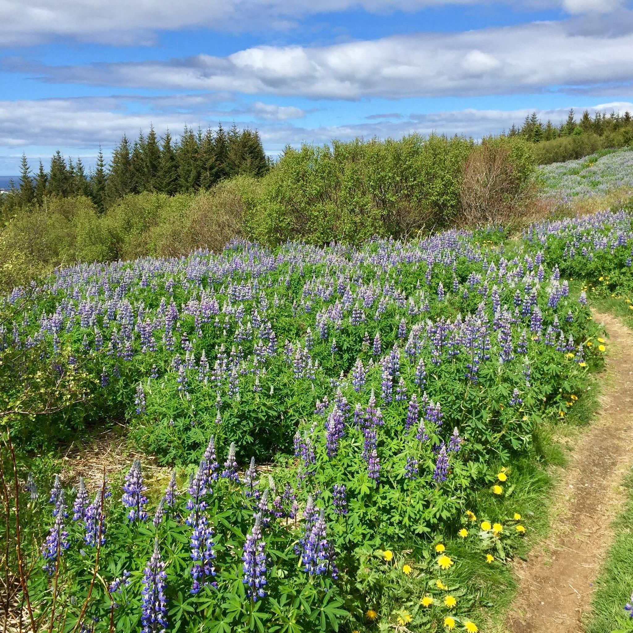
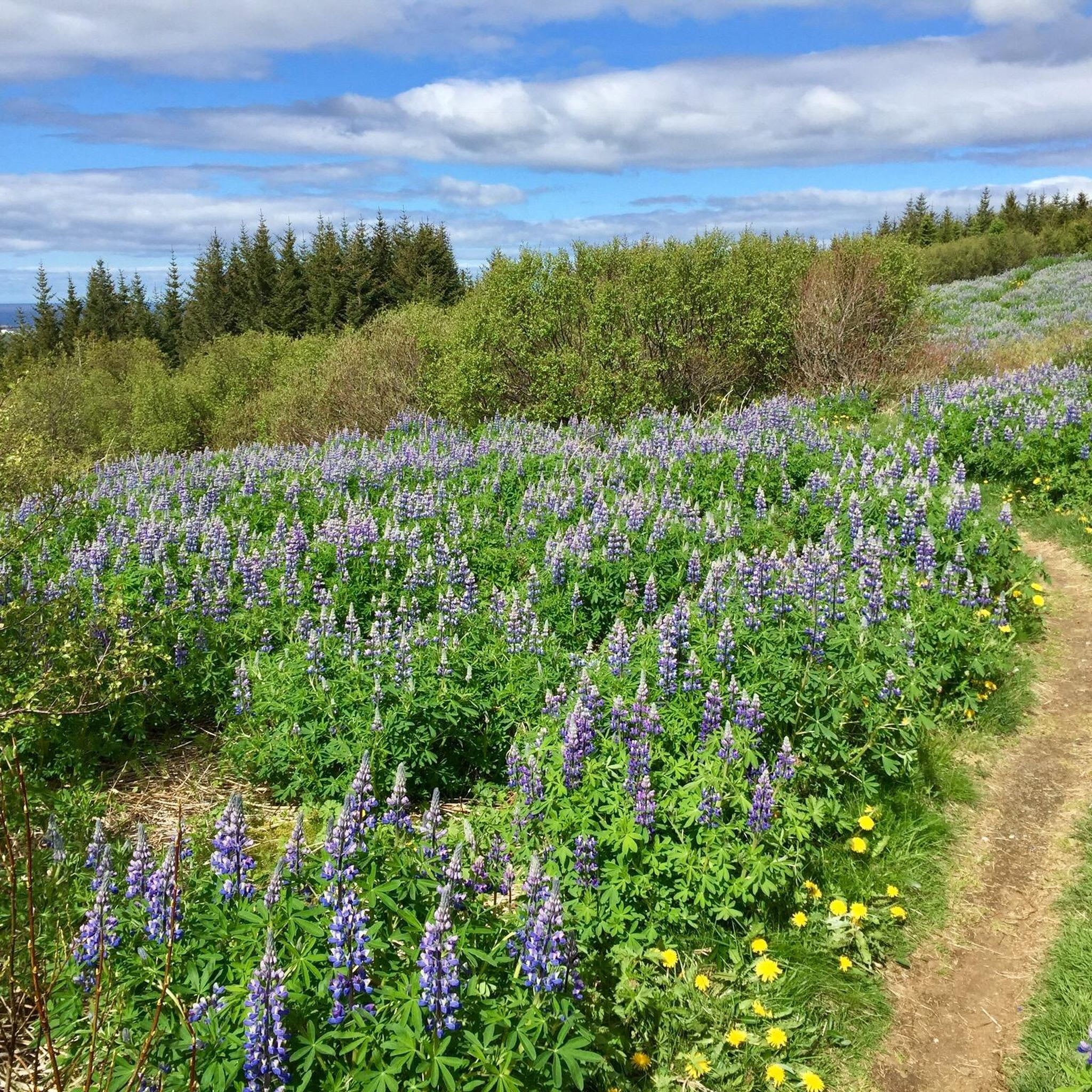
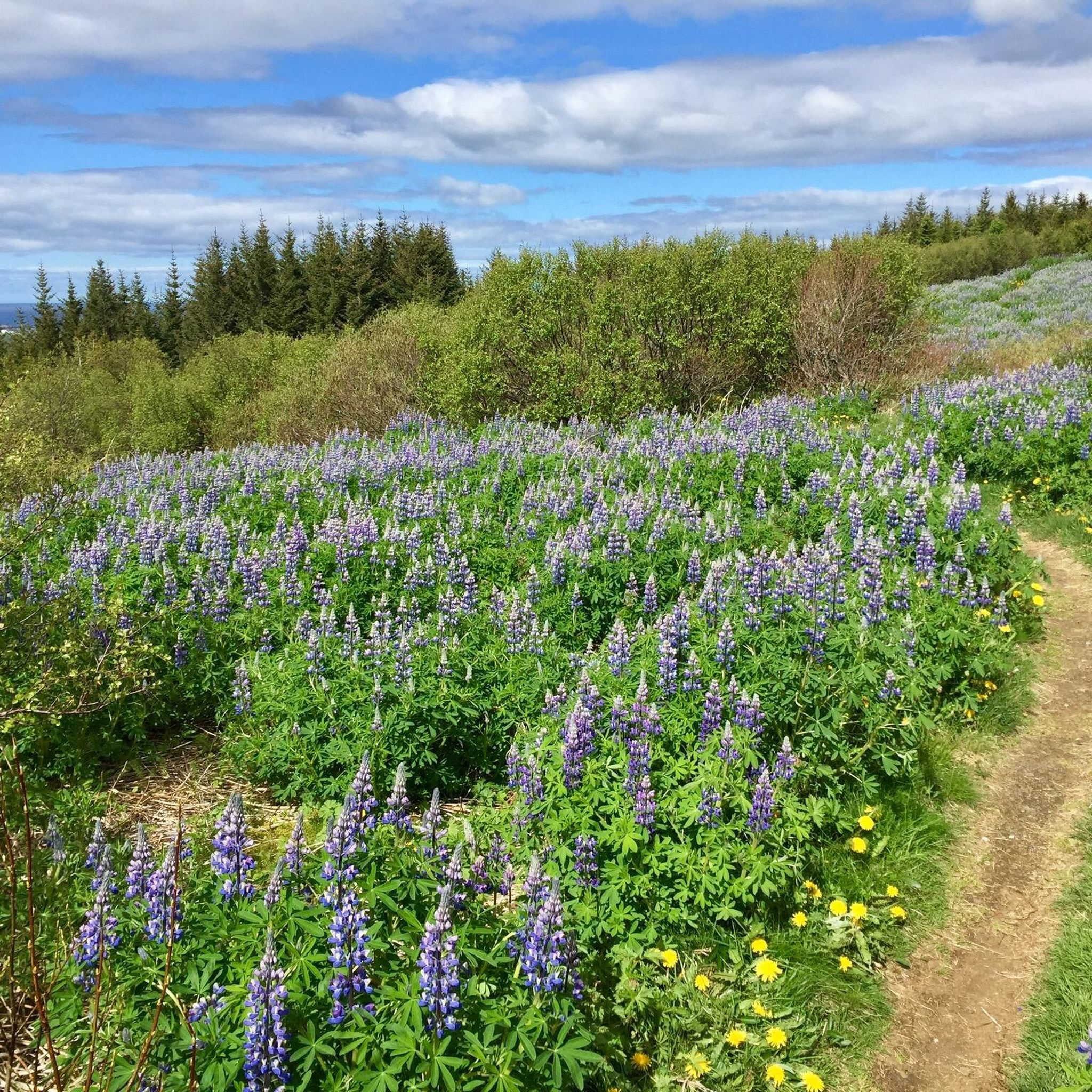
A well-maintained, approx. 2.5 km long gravel path leads around the lake. There are three parking lots. From the parking lot at the southern end of the lake, a path leads up to the small hill Gunnhildur with a beautiful view.
3
0
Frequently Asked Questions
How many hiking trails are available around Vífilsstaðavatn?
There are over 300 hiking routes around Vífilsstaðavatn, offering a wide variety of options for different skill levels. Approximately 217 of these are rated as easy, making the area very accessible for casual walkers and beginners.
Are there easy hiking trails suitable for beginners around Vífilsstaðavatn?
Yes, Vífilsstaðavatn is very beginner-friendly. Over 200 of the routes are classified as easy. A great option is the Vífilsstaða Lake – Ruins of Gunnhildur Shelter loop from Vífilsstaðavatn, which is 3.8 km long and takes about 1 hour 5 minutes, featuring paths along the lake.
What kind of terrain can I expect on the hiking trails around Vífilsstaðavatn?
The trails around Vífilsstaðavatn feature varied terrain, including open landscapes, sections through an arboretum, and paths near historical sites. Elevation changes are generally moderate, providing accessible routes for different skill levels.
Are there any circular hiking routes around Vífilsstaðavatn?
Yes, many of the trails around Vífilsstaðavatn are circular. For example, the Ruins of Gunnhildur Shelter – Arboretum Trail loop from Vífilsstaðavatn is a moderate 8.2 km loop that takes you through an arboretum and offers scenic views.
What landmarks or points of interest can I see while hiking in the Vífilsstaðavatn area?
Hikers can explore historical ruins, such as the Ruins of Gunnhildur Shelter, which is featured on several routes. The area also boasts an arboretum and the natural beauty of Vífilsstaðavatn lake itself.
Is Vífilsstaðavatn suitable for family-friendly hikes?
Absolutely. With a large number of easy trails and generally moderate elevation changes, Vífilsstaðavatn is well-suited for families. The lake-side paths and arboretum sections offer pleasant and engaging walks for all ages.
What is the best time of year to go hiking around Vífilsstaðavatn?
The best time to hike around Vífilsstaðavatn is typically during the warmer months, from late spring to early autumn (May to September), when the weather is milder and the trails are clear. However, winter hiking can also be beautiful, though conditions may require appropriate gear.
Are there any dog-friendly trails near Vífilsstaðavatn?
Many trails in the Vífilsstaðavatn area are dog-friendly, but it's always recommended to keep dogs on a leash and clean up after them. The open landscapes and lake-side paths provide ample space for walks with your canine companion.
Where can I park when visiting Vífilsstaðavatn for a hike?
Parking is generally available at designated areas around Vífilsstaðavatn. Specific parking information can often be found on individual route descriptions on komoot, or by checking local signage upon arrival.
What do other hikers enjoy the most about hiking in Vífilsstaðavatn?
The area is highly rated by the komoot community, with an average score of 4.4 stars from over 400 reviews. Reviewers often praise the varied terrain, the peaceful lake-side paths, and the accessibility of routes for different skill levels.
Are there any longer, more challenging hikes around Vífilsstaðavatn?
While many trails are easy, there are also moderate options for those seeking a longer walk. For instance, the Búrfellsgjá Crater – Búrfellsgjá loop from Garðabær is a 17.8 km moderate hike that explores a wider area, including the Búrfellsgjá Crater.
Can I find cafes or other amenities near the hiking trails?
While the immediate vicinity of the trails around Vífilsstaðavatn is primarily natural, you can find cafes and other amenities in nearby towns and communities, such as Garðabær, which are a short drive away.
Most popular routes around Vífilsstaðavatn

Get inspired with the komoot mobile app


Explore more
Browse the best Hikes in other regions.
