The best MTB trails around Hafravatn
4.6
(9)
123
riders
5
rides
Mountain biking around Hafravatn offers varied terrain and scenic beauty in the municipality of Mosfellsbær. The area is characterized by the picturesque Hafravatn lake, surrounded by diverse landscapes including marshland and lush vegetation. Riders can expect a mix of physical challenges and natural backdrops, with options ranging from lakeside paths to routes exploring wider volcanic and natural features. This region provides a compelling experience for mountain biking enthusiasts seeking outdoor activities.
Best mountain bike trails around Hafravatn
- The most popular…
Last updated: June 29, 2026
1
riders
27.7km
02:22
350m
360m
Moderate mountain bike ride. Good fitness required. Advanced riding skills necessary.
5
riders
18.8km
01:04
160m
160m
Easy mountain bike ride. Great for any fitness level. Suitable for all skill levels.

Sign up for free
9
riders
27.4km
02:04
260m
260m
Moderate mountain bike ride. Good fitness required. Suitable for all skill levels.
5
riders
37.5km
02:37
430m
430m
Moderate mountain bike ride. Good fitness required. Advanced riding skills necessary.
3
riders
30.5km
02:05
270m
270m
Moderate mountain bike ride. Good fitness required. Suitable for all skill levels.
Our route recommendations are based on thousands of hikes, rides, and runs completed by other people on komoot.
Start today with a free account
Your next adventure awaits.
Login or Signup

Tips from the Community

Just a few minutes from Reykjavik, Vífilsstaðahlíð is an oasis of wooded hills perfect for walking or cycling. Its trails offer sweeping views of the bay and the capital. The site takes its name from Vífilsstaðir, an old farm mentioned in the Viking sagas. Today, amidst tranquil nature and historical remains like the old tuberculosis hospital, it is a place where sport and history go hand in hand.
1
0

As of August 18, 2025: Iceland experienced its twelfth volcanic eruption in just over four years. On the sparsely populated Reykjanes Peninsula, southwest of Reykjavik, the earth opened up again on Wednesday, July 16. Since Tuesday, August 5, no more lava has been escaping from the eruption fissure located approximately seven kilometers northeast of Grindavik. Volcanologists believe it is highly likely that the eruption has ended for the time being. The temporarily closed campsite in the town of Grindavik is now freely accessible again.
1
0
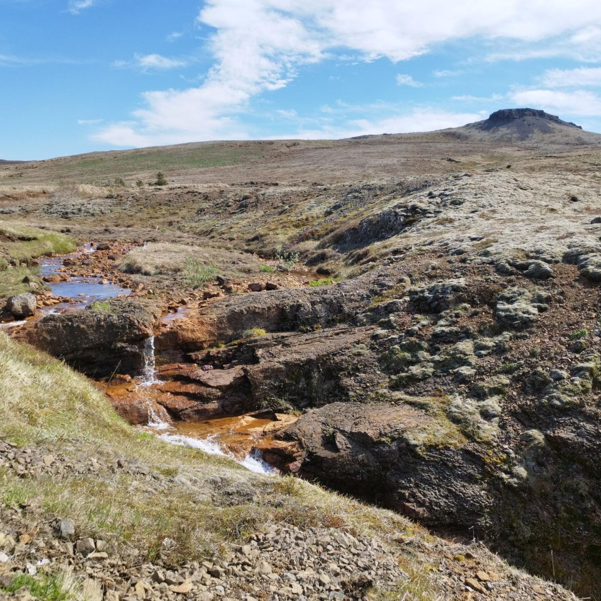
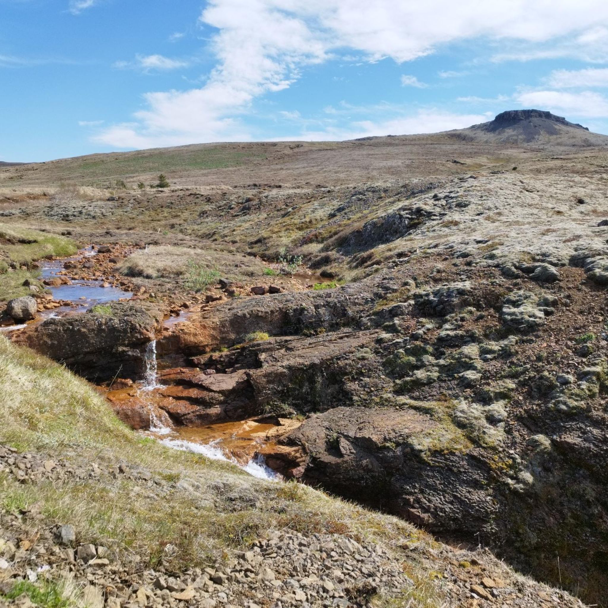
Really impressive in the old lava fields
1
0

Árbær was an established farm well into the 20th century, and the museum opened there in 1957. Árbær is now an open air museum with more than 20 buildings which form a town square, a village and a farm. Most of the buildings have been relocated from central Reykjavik. Árbær Open Air Museum tries to give a sense of the architecture and way of life and lifestyles of the past in Reykjavík and during summer visitors can see domestic animals. There are many exhibitions and events held at the Museum which highlight specific periods in Reykjavik's history. These include craft days, vintage car displays, Christmas exhibitions and much more. There is something for everyone at Árbær Open Air Museum. (https://visitreykjavik.is/arbaer-open-air-museum)
3
0
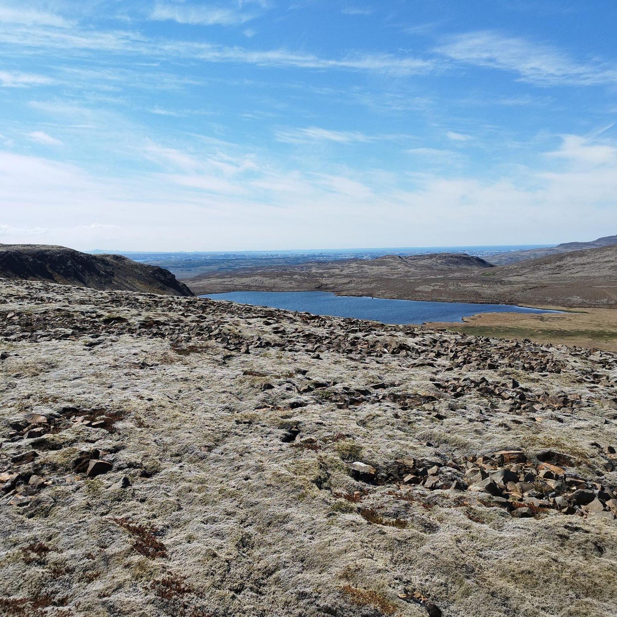
The fissure is surrounded by ancient lava flows that have cooled and solidified, forming a rugged, rocky landscape. Despite the volcanic terrain, the area is home to a surprising amount of vegetation adapted to lava soil, as well as birds and other animals typical of Iceland.
2
0
It is a unique geological feature located near Reykjavik in Iceland. It is a canyon formed by a volcanic fissure in the Hafnarfjörður region on the Reykjanes Peninsula. It is a fascinating place for both its geology and natural beauty. Near Búrfellsgjá is the Búrfell crater, which is an impressive volcanic feature in itself. This crater is almost perfectly shaped and offers a closer look at the volcanic activity that formed the region.
2
0
It is close to the town of Hafnarfjörður, about 55 minutes by bike from Reykjavík. Although it is not very high, at approximately 340 metres above sea level, it is a popular hiking destination due to its panoramic views and easy access. It is part of the Krýsuvík volcanic system, which explains its rocky terrain and the presence of ancient lava flows in its surroundings. It has marked hiking routes that are not too demanding, ideal for hikers of all levels. On a clear day, from the summit you can see Reykjavík, Hafnarfjörður and even the Atlantic Ocean.
1
0
Like many mountains in Iceland, Helgafell has special significance in the Icelandic sagas and is associated with stories of early Viking settlements in the region. Helgafell literally means "Holy Mountain" in Icelandic. It is a common name for mountains and hills in Iceland due to its cultural and spiritual significance, but the most well-known one near Reykjavik is Helgafell.
1
0
Frequently Asked Questions
How many mountain bike trails are available around Hafravatn?
There are 5 mountain bike trails around Hafravatn listed on komoot. These include 2 easy routes and 3 moderate routes, offering options for various skill levels.
What kind of terrain can I expect on the mountain bike trails around Hafravatn?
The terrain around Hafravatn is quite varied. You'll encounter picturesque lake views, marshland, and lush vegetation. Some paths may feature rocky sections, and the wider region of Iceland offers dramatic landscapes including volcanic areas and unique geological formations, providing a mix of physical challenges and stunning natural backdrops.
Are there any easy mountain bike trails suitable for beginners or families around Hafravatn?
Yes, there are easy mountain bike trails around Hafravatn. For a more relaxed ride, consider the Árbær Open Air Museum loop from Reynisvatn. This 11.7-mile (18.8 km) route is classified as easy and takes approximately 1 hour 4 minutes to complete, making it a good option for those looking for a less strenuous experience.
What natural features or landmarks can I see while mountain biking near Hafravatn?
While mountain biking around Hafravatn, you'll enjoy serene lake views and verdant surroundings. The wider Icelandic context means you're also within reach of dramatic landscapes, including volcanic areas and unique geological marvels. One notable route, Búrfellsgjá Lava Fissure – Helgafell loop from Elliðavatn, passes through significant geological formations.
Are there circular mountain bike routes in the Hafravatn area?
Yes, many of the mountain bike routes around Hafravatn are designed as loops. Examples include the Bringur loop from Mosfellsbær, the Reynisvatn loop from Blikastaðakró - Leiruvogur, and the Búrfellsgjá Lava Fissure loop from Fjölbrautaskólinn í Breiðholti, all offering comprehensive experiences of the local terrain.
What is the best time of year to go mountain biking around Hafravatn?
While specific seasonal recommendations for mountain biking aren't detailed, the presence of summer houses and lush vegetation around Hafravatn suggests that the warmer months, typically late spring through early autumn, would offer the most pleasant conditions for exploring the trails.
What do other mountain bikers enjoy most about the trails around Hafravatn?
The mountain bike trails around Hafravatn are highly rated by the komoot community, with an average score of 4.4 stars. Riders often praise the varied terrain, the scenic lake views, and the natural backdrops that combine physical activity with technical challenges.
What are the typical elevation changes on mountain bike trails around Hafravatn?
The mountain bike trails around Hafravatn feature varying elevation changes. For instance, the Búrfellsgjá Lava Fissure – Helgafell loop from Elliðavatn has a significant climb of over 400 meters, while other routes like the Árbær Open Air Museum loop from Reynisvatn have more modest ascents of around 160 meters.
Are there longer mountain bike routes for more experienced riders in the Hafravatn area?
Yes, for experienced riders seeking longer routes, the Búrfellsgjá Lava Fissure – Helgafell loop from Elliðavatn is a moderate 23.4-mile (37.7 km) trail that takes approximately 2 hours 39 minutes to complete. Another option is the Bringur loop from Mosfellsbær, a 17.2-mile (27.7 km) moderate path.
Is it possible to access the mountain bike trails around Hafravatn using public transport?
The Hafravatn area is situated in the municipality of Mosfellsbær. While specific public transport links directly to trailheads are not detailed, Mosfellsbær is generally accessible, and local bus services may provide connections to the vicinity of the lake. For precise planning, checking local bus routes to Mosfellsbær and the Hafravatn area is recommended.
Are there any amenities like cafes or accommodation close to the Hafravatn mountain bike trails?
The area around Hafravatn features charming summer houses along the shoreline, indicating a residential presence. While specific cafes or dedicated accommodations directly adjacent to the trails are not mentioned, the proximity to Mosfellsbær suggests that amenities would be available within a short distance from the lake.
Most popular routes around Hafravatn

Get inspired with the komoot mobile app


