The best walks and hikes around Knight Reservoir
4.6
(556)
9,469
hikers
475
hikes
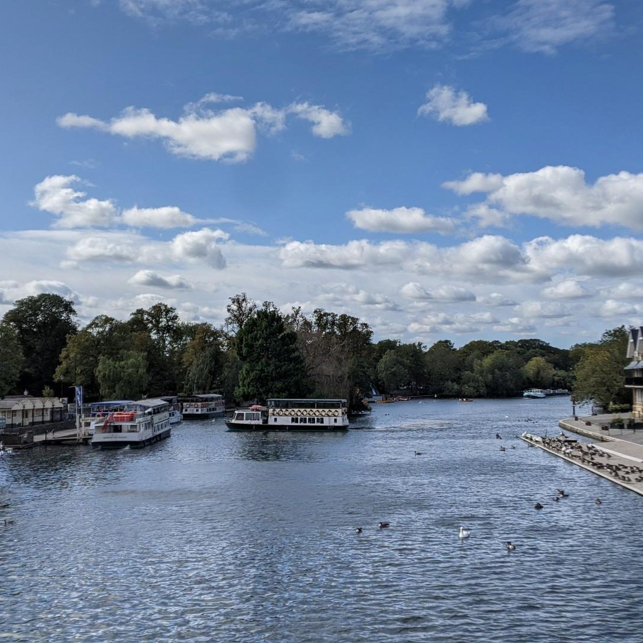
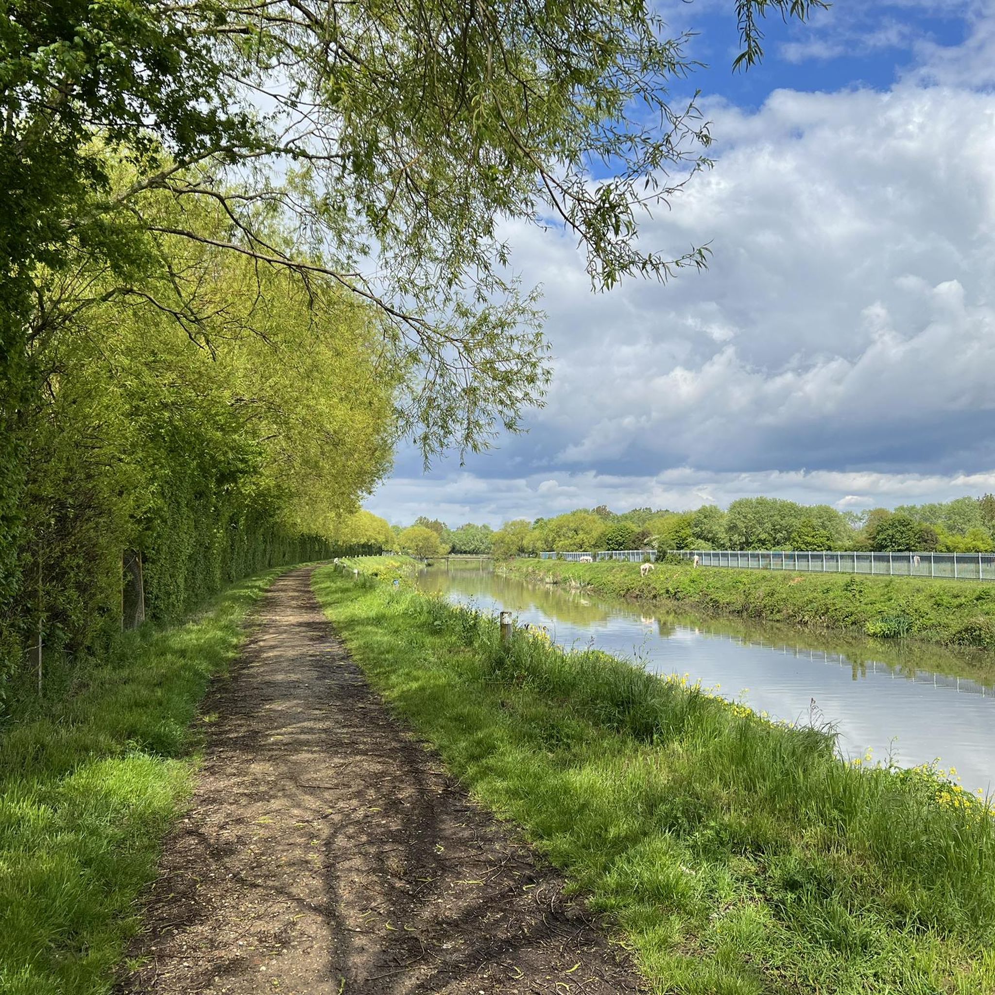
Hiking trails around Knight Reservoir are located in the Elmbridge area of Surrey, England. While the reservoir itself is a protected biological site with no public access, the surrounding region offers a network of paths along the River Thames and through local green spaces. The terrain is generally flat, characterized by riverside paths, urban parks, and residential areas.
Best hiking trails around Knight Reservoir
- The most popular hiking route is The Anglers of Walton – Wilde Brunch Café loop from…
Last updated: October 9, 2026
62
hikers
Easy hike. Great for any fitness level. Easily-accessible paths. Suitable for all skill levels.
3.0
(1)
55
hikers
9.20km
02:19
10m
10m
Moderate hike. Good fitness required. Easily-accessible paths. Suitable for all skill levels.

5.0
(1)
13
hikers
12.5km
03:09
20m
20m
Moderate hike. Good fitness required. Easily-accessible paths. Suitable for all skill levels.
14
hikers
Easy hike. Great for any fitness level. Easily-accessible paths. Suitable for all skill levels.
7
hikers
Easy hike. Great for any fitness level. Easily-accessible paths. Suitable for all skill levels.
Get access to more routes and recommendations from other explorers.
Already have an account?
Our route recommendations are based on thousands of hikes, rides, and runs completed by other people on komoot.
Start today with a free account
Your next adventure awaits.
Tips from the Community


Nice quiet cafe near the water, with an outside terrace and plenty of space for bikes. Good coffee and food too.
1
0

Beautiful spot and very nice place for a stop
0
0

Some mud jumping fun after rain.
0
0

Extremely dog friendly! Nice pub with friendly service right on the Thames. If you don't like it here: there are numerous other places to stop for refreshments within a few 100m!
1
0

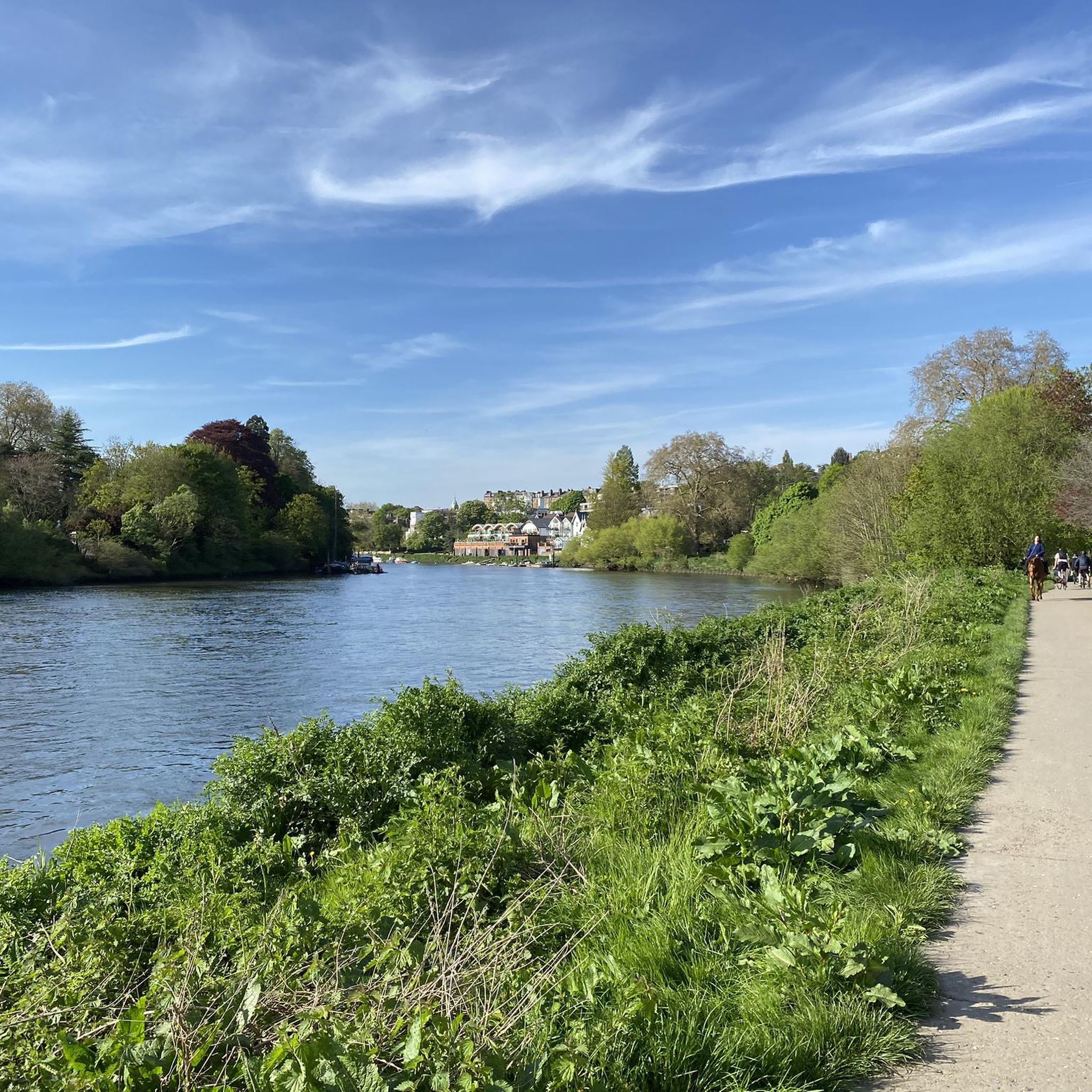
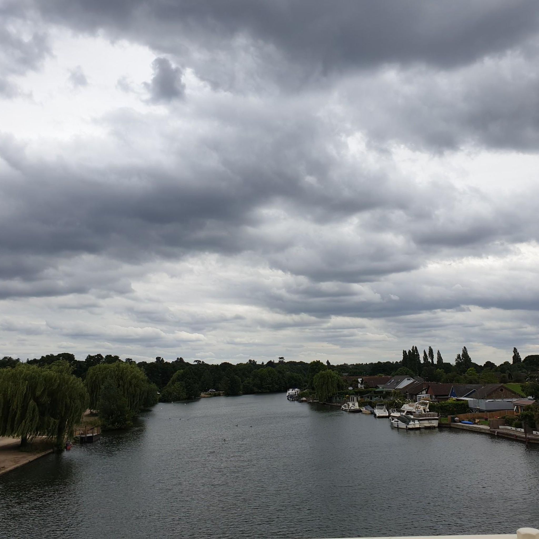
This is a particularly scenic section of the Thames Path known as Molesey Riverside. It features a wide open grassy space backing on the the Hurst Park estate, house boats and small islands. The terrain is compact gravel, making it suitable for any type of bike.
0
0


Riverhouse Community Cafe is a few steps from the Thames Path next to the Angler's. The cafe has a back garden with a marquee. Okay to bring in the bike to the garden. As soon as I sat down sipping Chai Latte, two groups of bike tourers arrived. This is my creativity suite when I'm looking for fresh ideas and motivation, so I can work outdoors to steer away from everyday boredom when working from my room. I'll come with my children during the half-term. Free Wifi. Open 10am to 4pm.
0
0
Frequently Asked Questions
Can I hike directly around Knight Reservoir?
No, Knight Reservoir in Surrey, England, is a protected biological site with no public access. It serves as a crucial habitat for thousands of water birds and is on private land. However, the surrounding region offers numerous hiking paths along the River Thames and through local green spaces.
What kind of hiking trails can I expect near Knight Reservoir?
The hiking trails in the region are generally flat, characterized by riverside paths along the River Thames, urban parks, and residential areas. You'll find a network of paths suitable for various ability levels, primarily featuring easy to moderate routes.
How many hiking routes are available in the area surrounding Knight Reservoir?
There are over 500 hiking routes available in the area surrounding Knight Reservoir. These include a wide range of options, with over 320 easy trails and more than 160 moderate paths, ensuring there's something for every hiker.
Are there any easy, family-friendly walks near Knight Reservoir?
Yes, the area offers many easy and family-friendly walks. For instance, the The Anglers of Walton – Riverhouse Barn Community Café loop from Walton-on-Thames is an easy route that follows the River Thames, perfect for a relaxed outing. Many trails are flat and pass through green spaces, making them suitable for families.
Are dogs allowed on the hiking trails near Knight Reservoir?
Many of the riverside paths and green spaces in the area are dog-friendly, though it's always best to keep dogs on a lead, especially in residential areas or near wildlife habitats. Always check local signage for specific restrictions.
What do other hikers enjoy most about the trails near Knight Reservoir?
The trails near Knight Reservoir are highly rated by the komoot community, with an average score of 4.6 stars from nearly 500 reviews. Hikers often praise the accessible riverside paths, the pleasant views of the River Thames, and the convenience of routes connecting to local towns and cafes.
Are there any circular walks available in the region?
Yes, many of the routes in the area are circular, offering convenient starting and ending points. An example is the The Anglers of Walton – Wilde Brunch Café loop from Walton-on-Thames, which provides a pleasant loop along the river.
What are the typical trail lengths and durations for hikes in this area?
Trail lengths vary, but many popular routes range from 2.5 to 8 miles (4 to 13 km). For example, the Garrick's Ait Houseboats loop from Walton-on-Thames is about 7.8 miles (12.5 km) and takes around 3 hours to complete, while shorter options are also available.
Is there parking available for hikers near the trails?
As the trails are located in and around towns like Walton-on-Thames and Sunbury-on-Thames, public parking facilities are generally available in these areas. It's advisable to check local parking options and regulations before your visit.
Can I reach the hiking trails using public transport?
Yes, the trails are well-connected to local towns, which are typically served by public transport. You can often start your hike directly from train stations or bus stops in places like Walton-on-Thames or Sunbury-on-Thames.
Are there any cafes or pubs along the hiking routes?
Yes, many routes are designed to pass by or near local amenities. For example, the Riverhouse Barn Community Café – The Anglers of Walton loop from Walton-on-Thames suggests a route that includes local cafes, providing convenient spots for refreshments during or after your walk.
What kind of wildlife might I see while hiking near Knight Reservoir?
While Knight Reservoir itself is a protected bird sanctuary, the surrounding River Thames and green spaces are home to various waterfowl and common urban wildlife. You might spot ducks, geese, and other bird species along the riverbanks, as well as small mammals in the parks.
Most popular routes around Knight Reservoir

Get inspired with the komoot mobile app


Explore more
Browse the best Hikes in other regions.
