The best road cycling routes around Burnhope Reservoir
4.7
(6)
395
riders
20
rides
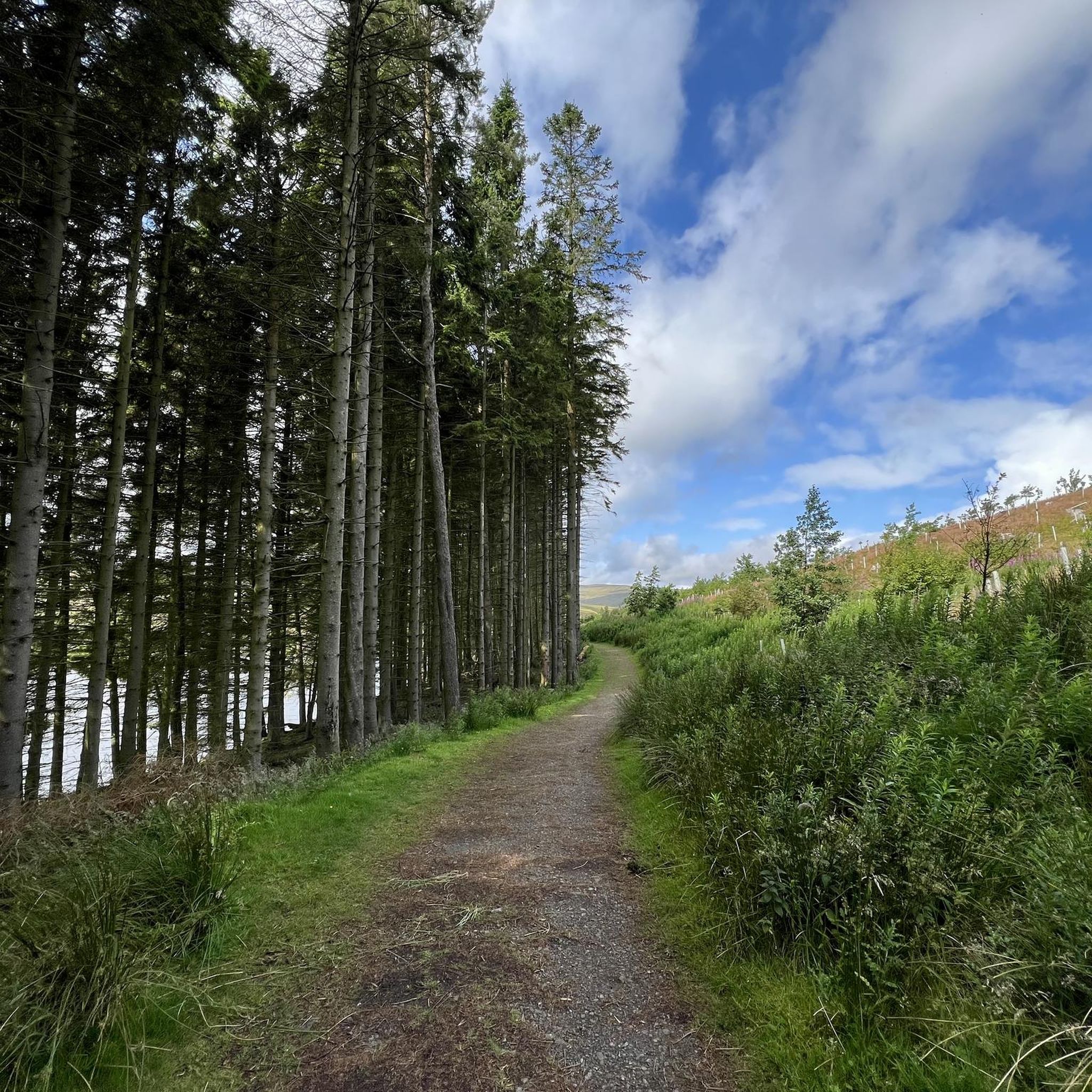
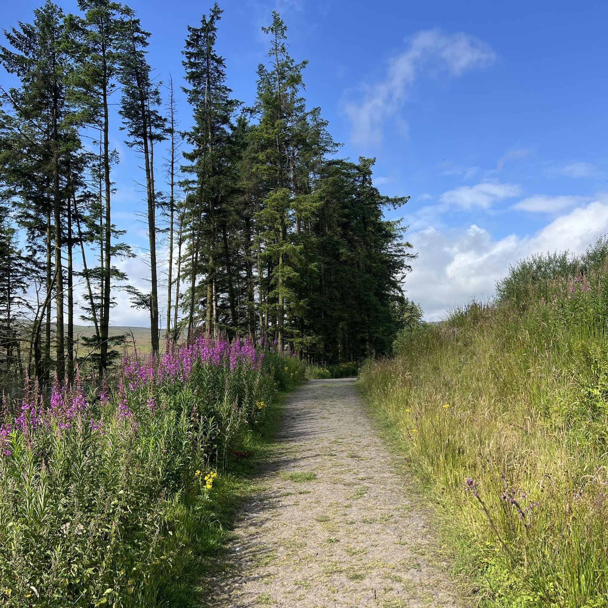
Road cycling around Burnhope Reservoir offers routes through the North Pennines National Landscape, characterized by open moorland, rolling hills, and expansive views. The area features quiet minor roads with varied gradients, providing diverse terrain for cyclists. Cyclists can navigate through a mix of open countryside and woodland, with some routes offering moderate uphill sections and others presenting steep climbs. The region's natural features provide a consistent backdrop for road cycling experiences.
Best road cycling routes around Burnhope Reservoir
- The most…
Last updated: July 12, 2026
5.0
(1)
59
riders
69.9km
03:30
1,140m
1,140m
Hard road ride. Very good fitness required. Mostly well-paved surfaces and easy to ride.
3.0
(1)
64
riders
49.2km
02:38
970m
970m
Hard road ride. Very good fitness required. Mostly well-paved surfaces and easy to ride.

Sign up for free
5.0
(1)
31
riders
32.5km
01:41
500m
500m
Moderate road ride. Good fitness required. Mostly well-paved surfaces and easy to ride.
17
riders
50.4km
02:39
920m
920m
Hard road ride. Very good fitness required. Mostly well-paved surfaces and easy to ride.
6
riders
26.2km
01:32
650m
650m
Moderate road ride. Good fitness required. Mostly well-paved surfaces and easy to ride.
Get access to more routes and recommendations from other explorers.
Sign up for free
Already have an account?
Our route recommendations are based on thousands of hikes, rides, and runs completed by other people on komoot.
Start today with a free account
Your next adventure awaits.
Login or Signup
Tips from the Community

Stunning views at the top on the Northumberland border
0
0
If your bike is in any way loaded, make sure you have at least a 32 on the rear.
0
0

Rookhope is really interesting- but slowly dying. The arch is almost emblematic of that.
0
0

To cross the River Allen at this point, you will pass over this three-arch bridge, which is listed as Grade 2. Its origin dates back to the late 18th century. There are a few parking spaces on one side of the bridge.
1
0

Great place to stop for cake on the C2C route
0
0

Well earnt Achievement coming up from St John's Chapel! Simon Warren would be proud ;-) and the scenery is epic along the Garrigill road on the way back! Listen out for the Curlews :-D
0
0

The road heading up onto Redburn Common from Allenheads (430m) in the west climbs through a steep hairpin bend and several shallower corners to reach an altitude of 533m. The descent down the otherside to Rookhope at just over 300m is more gradual and fun to ride. Also good the other way with a longer steady climb and then a steep descent down to Allenheads, watch out for the tight corners and cattle grid on the descent if riding in this direction.
2
0
Frequently Asked Questions
What kind of terrain can I expect on road cycling routes around Burnhope Reservoir?
Road cycling around Burnhope Reservoir takes you through the stunning North Pennines National Landscape. You'll encounter a mix of open moorland, rolling hills, and expansive views. The routes feature quiet minor roads with varied gradients, offering everything from moderate uphill sections to more challenging climbs, all on mostly paved surfaces.
Are there routes suitable for different fitness levels?
Yes, the area caters to various fitness levels. While many routes involve significant elevation gain, there are options ranging from moderate rides to difficult excursions. For example, the Rookhope Old Mine Headframe – Road Into Rookhope loop from Wearhead is a moderate 20.2-mile route, while the Alston Cobbles on Front Street – Alltwen Road Climb loop from Wearhead is a difficult 43.4-mile ride with over 3,700 feet of elevation gain.
What are some of the most scenic viewpoints or natural features to look out for?
The entire region is part of the North Pennines National Landscape, offering breathtaking natural beauty. You'll experience expansive views over open moorland and rolling hills. The reservoir itself is surrounded by a mix of open moorland and woodland. Keep an eye out for the 'wild untamed beauty' of the Burnhope Hope valley and the diverse wildlife, including various bird species and deer. The area is also recognized as a Dark Sky Discovery Site, offering excellent stargazing opportunities on clear nights.
Are there any challenging road cycling routes for experienced riders?
Absolutely. The Burnhope Reservoir area, being within the North Pennines, offers several challenging routes. The Coalcleugh Descent – Coalcleugh Route 7 Junction loop from Wearhead is a difficult 30.6-mile path with nearly 3,200 feet of climbing, offering extensive views over Upper Weardale. Another demanding option is the Nenthead Village – View of Teesdale loop from Wearhead, a 31.3-mile route with over 3,000 feet of ascent.
What do other road cyclists enjoy most about the routes here?
The routes around Burnhope Reservoir are highly rated by the komoot community, with an average score of 4.7 stars from over 6 reviews. Cyclists often praise the peaceful and quiet atmosphere, the stunning natural beauty of the North Pennines, and the opportunity to ride on quiet minor roads away from heavy traffic, all while enjoying varied terrain and expansive views.
Are there any family-friendly road cycling options?
While many routes in the North Pennines involve significant gradients, the region's quiet minor roads can be suitable for families seeking a less traffic-intensive experience. Look for shorter, less elevated sections or consider routes categorized as moderate, such as the Rookhope Old Mine Headframe – Road Into Rookhope loop from Wearhead, which is 20.2 miles long with moderate climbing.
What is the best season for road cycling around Burnhope Reservoir?
The North Pennines can offer beautiful cycling conditions across multiple seasons. Spring and summer provide longer daylight hours and generally milder weather, ideal for enjoying the open moorland. Autumn brings stunning colors to the landscape. However, due to the upland nature of the region, weather can be unpredictable, so always be prepared for changing conditions regardless of the season.
Are there any circular road cycling routes?
Yes, many of the road cycling routes around Burnhope Reservoir are designed as loops, allowing you to start and finish in the same location. Examples include the Coalcleugh Route 7 Junction – Coalcleugh Descent loop from Wearhead, a moderate 16-mile circuit, and the longer, more challenging loops like the Alston Cobbles on Front Street – Alltwen Road Climb loop from Wearhead.
What nearby attractions can I explore after a ride?
The area offers several interesting attractions. You can visit the historic town of Stanhope, known for Stanhope Bridge and Stanhope Castle. The Killhope Lead Mining Museum provides insights into the region's industrial heritage. For natural wonders, impressive waterfalls like High Force and Low Force are a short drive away. The nearby villages of Wearhead and Cowshill also offer a glimpse into local life.
Are there cafes or pubs along the road cycling routes?
While the immediate vicinity of Burnhope Reservoir is quite remote, the surrounding villages in Upper Weardale, such as Wearhead, Cowshill, and Stanhope, offer amenities like cafes and pubs where you can refuel. Planning your route to pass through these villages is recommended for refreshment stops.
Where can I park for road cycling routes around Burnhope Reservoir?
Parking is typically available in the villages surrounding Burnhope Reservoir, such as Wearhead, which serves as a common starting point for many routes. Always check local signage for specific parking regulations and availability before your ride.
Most popular routes around Burnhope Reservoir

Get inspired with the komoot mobile app


Explore more
Browse the best Road cycling routes in other regions.
