The best road cycling routes around Buttermere
4.5
(45)
1,862
riders
18
rides
Road cycling routes around Buttermere traverse a dramatic valley landscape, characterized by serene lakes, rolling fells, and challenging mountain passes. The region offers varied terrain, from winding roads alongside tranquil waters to demanding ascents over iconic climbs. Cyclists encounter a mix of well-paved surfaces and elevation changes, providing options for different fitness levels.
Best road cycling routes around Buttermere
- The most popular road cycling route is Buttermere Village – Crummock Water loop from Buttermere, a 20.2 miles (32.6 km)…
Last updated: July 9, 2026
5.0
(1)
59
riders
32.6km
01:28
310m
310m
Moderate road ride. Good fitness required. Mostly well-paved surfaces and easy to ride.
7
riders
70.9km
03:41
1,110m
1,110m
Hard road ride. Very good fitness required. Mostly well-paved surfaces and easy to ride.

Sign up for free
5.0
(1)
33
riders
Moderate road ride. Good fitness required. Mostly well-paved surfaces and easy to ride.
29
riders
24.8km
01:25
340m
340m
Moderate road ride. Good fitness required. Some segments of this route may be unpaved and difficult to ride.
10
riders
68.6km
03:30
910m
910m
Hard road ride. Very good fitness required. Mostly well-paved surfaces and easy to ride.
Get access to more routes and recommendations from other explorers.
Sign up for free
Already have an account?
Our route recommendations are based on thousands of hikes, rides, and runs completed by other people on komoot.
Start today with a free account
Your next adventure awaits.
Login or Signup
Tips from the Community


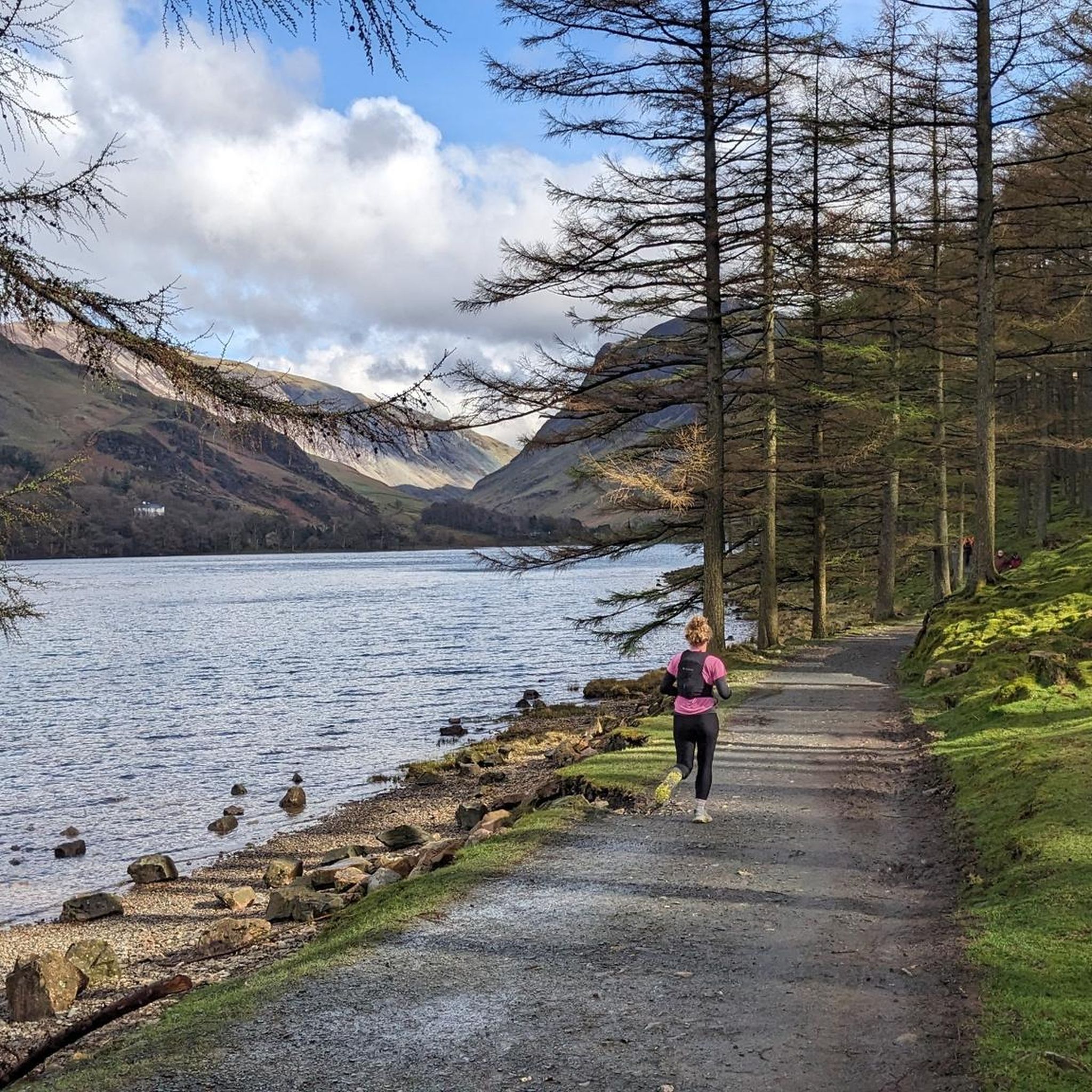
Delicious food and drink but very busy in peak times.
0
0
Busy in the summer and peak times but dog friendly and delicious food/drinks.
0
0

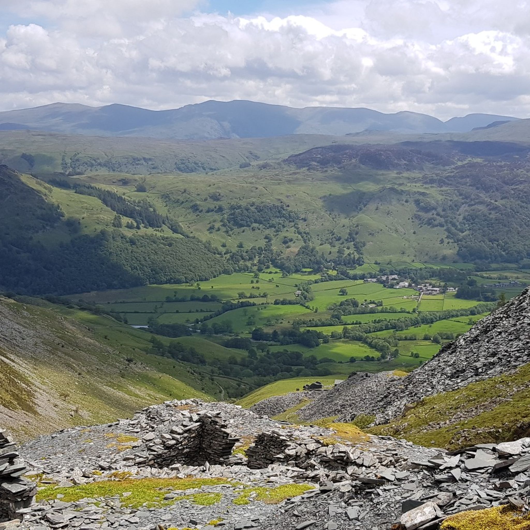
Starting the Honister Pass climb from Seatoller, the B5289 initially rises steadily from the beautiful Borrowdale valley. Find a sustainable rhythm early, but know the real test lies ahead. The gradient ramps up severely in the latter stages, especially after crossing the stream bridge. Experience the full force of the climb on the final brutal ramps leading towards the Honister Slate Mine at the summit, where the gradient reaches a formidable 25%. Feel the stunning, rugged Lake District scenery unfold around you as you push hard on the narrow, winding road. Be aware of other traffic sharing this challenging ascent. The reward is immense satisfaction as you crest the summit by the mine, with breathtaking views back down Borrowdale.
0
0

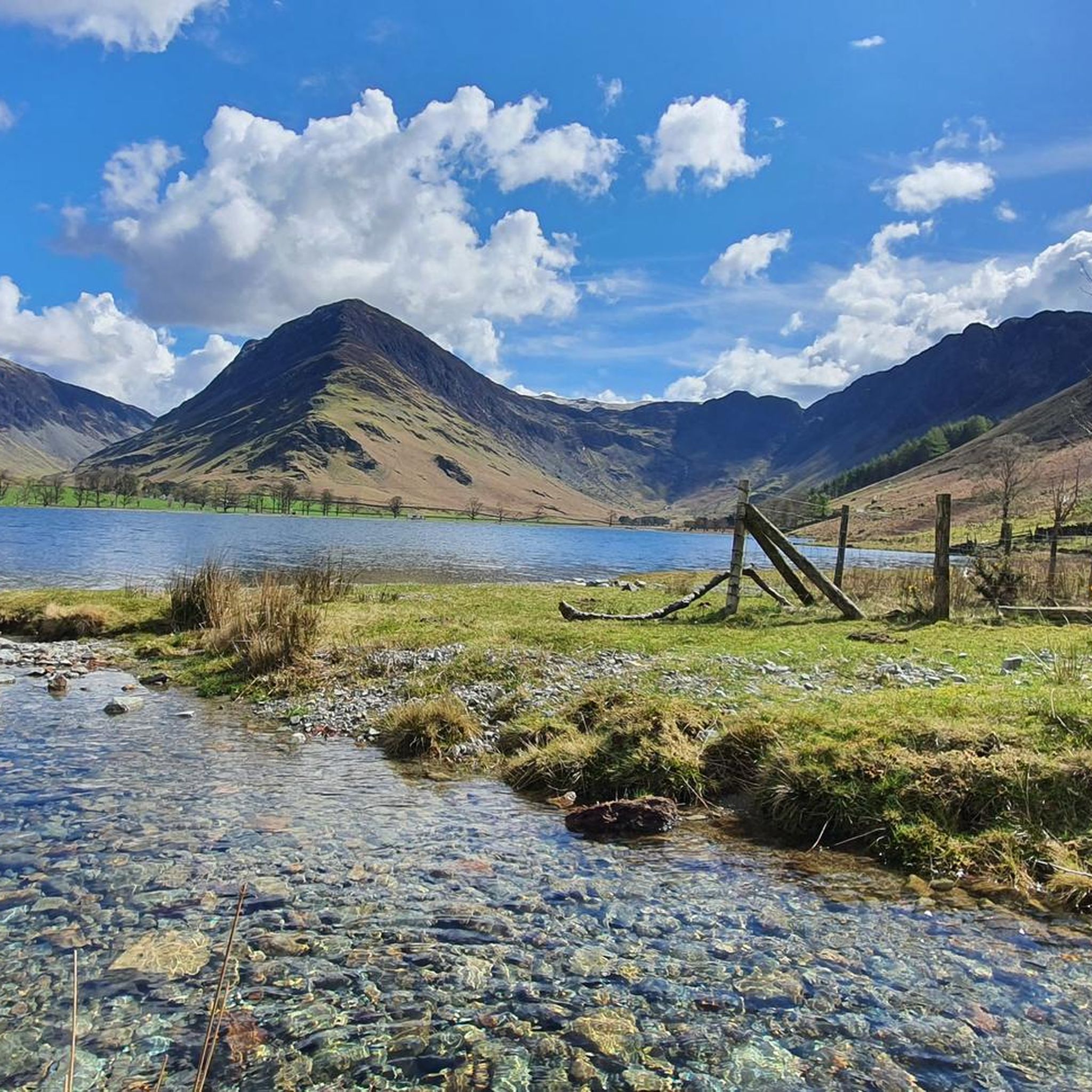
Amazing scenery of the lake and fells, good place for photos
0
0

Honister Pass links the Buttermere Valley to the eastern end of Borrowdale. At 356 metres (1,167 feet), it’s one of the highest passes in Cumbria, featuring a steep 1-in-4 (25%) gradient.
3
0

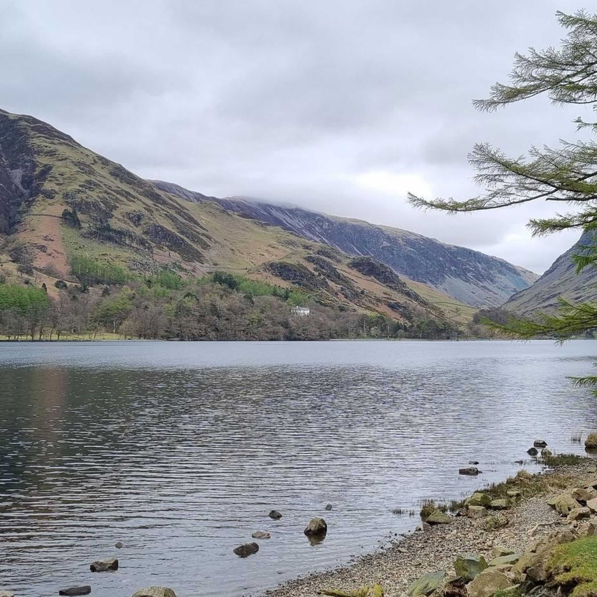
The lake is fed by numerous streams including the beck from Scale Force. The River Cocker starts from here, flowing towards Cockermouth where it joins the River Derwent.
0
0
Frequently Asked Questions
What kind of terrain can I expect when road cycling around Buttermere?
Buttermere offers a diverse range of road cycling terrain. You'll find winding roads alongside tranquil lakes like Buttermere Lake and Crummock Water, as well as challenging ascents over iconic mountain passes. The region is known for its dramatic fells and hushed woodlands, providing a mix of well-paved surfaces and significant elevation changes.
How many road cycling routes are available in the Buttermere area?
There are nearly 20 road cycling routes available around Buttermere on komoot, catering to various fitness levels. These include options ranging from moderate, requiring good fitness, to difficult, demanding very good fitness.
Are there any easy road cycling routes suitable for beginners or those seeking a more relaxed ride?
Yes, while Buttermere is known for its challenging passes, there are routes suitable for those seeking a more relaxed experience. For example, the area offers 5 easy routes, allowing you to enjoy the stunning scenery without extreme exertion. These often involve gentler sections around the lakes.
What are the most challenging road cycling routes around Buttermere?
For experienced riders seeking a true test of endurance, Buttermere offers 3 difficult routes. These often incorporate demanding passes like Honister, Whinlatter, and Newlands. A particularly challenging option is the Crummock Water – Crummock Water Balcony Road loop from Buttermere, which is 43.9 miles long with significant elevation gain.
What natural features and landmarks can I see along the road cycling routes?
Road cycling routes in Buttermere are rich with natural beauty. You can expect stunning views of Buttermere Lake and Crummock Water, surrounded by grand peaks like Fleetwith Pike and Red Pike. Keep an eye out for Sourmilk Gill Waterfall cascading down Red Pike, and the tranquil Burtness Wood. The dramatic reflections of fells on the lake offer excellent photography opportunities.
Are there any circular road cycling routes in the Buttermere area?
Yes, many of the road cycling routes around Buttermere are designed as loops, allowing you to start and finish in the same location. A popular example is the Buttermere Village – Crummock Water loop from Buttermere, which offers views of both lakes.
What do other road cyclists enjoy most about cycling in Buttermere?
The road cycling routes in Buttermere are highly rated by the komoot community, with an average score of 4.6 stars from over 40 reviews. Cyclists often praise the dramatic fells, tranquil lakes, and the rewarding challenge of mountain passes like Honister and Newlands, all set within a peaceful and picturesque environment.
What is the best time of year for road cycling in Buttermere?
The best time for road cycling in Buttermere is generally from spring through autumn when the weather is milder and more predictable. Summer offers longer daylight hours, but spring and autumn can provide stunning scenery with fewer crowds. Always check local weather conditions, especially when planning to tackle the higher passes.
Are there cafes or pubs along the road cycling routes in Buttermere?
Yes, the Buttermere area offers options for refreshments. While specific cafes and pubs vary by route, the village of Buttermere itself has facilities. For example, the View of Loweswater – The Gather Café loop from Brackenthwaite suggests a stop at The Gather Café, indicating that such amenities are available in the wider region.
Is there parking available for road cyclists in Buttermere?
Parking is available in and around the Buttermere village area, which serves as a common starting point for many routes. It's advisable to arrive early, especially during peak season, as parking can fill up quickly. Some routes, like the Lorton Village Shop – Portinscale Suspension Footbridge loop from Brackenthwaite, might start from nearby villages with their own parking options.
Can I find family-friendly road cycling routes in Buttermere?
While many routes in Buttermere involve significant climbs, there are options that can be more family-friendly, particularly those that stick to the flatter sections around the lakes. Look for routes categorized as 'easy' or 'moderate' with lower elevation gains, which provide a gentler experience for families.
What is the longest road cycling route available around Buttermere?
One of the longer routes available is the View of Loweswater – The Gather Café loop from Brackenthwaite, which spans approximately 68.5 miles (110 km). This difficult route includes substantial elevation gain, offering an extensive tour of the wider Buttermere area.
Most popular routes around Buttermere
Most popular attractions around Buttermere

Get inspired with the komoot mobile app


Explore more
Browse the best Road cycling routes in other regions.
