The best road cycling routes around Tallulah Falls
5.0
(3)
72
riders
5
rides
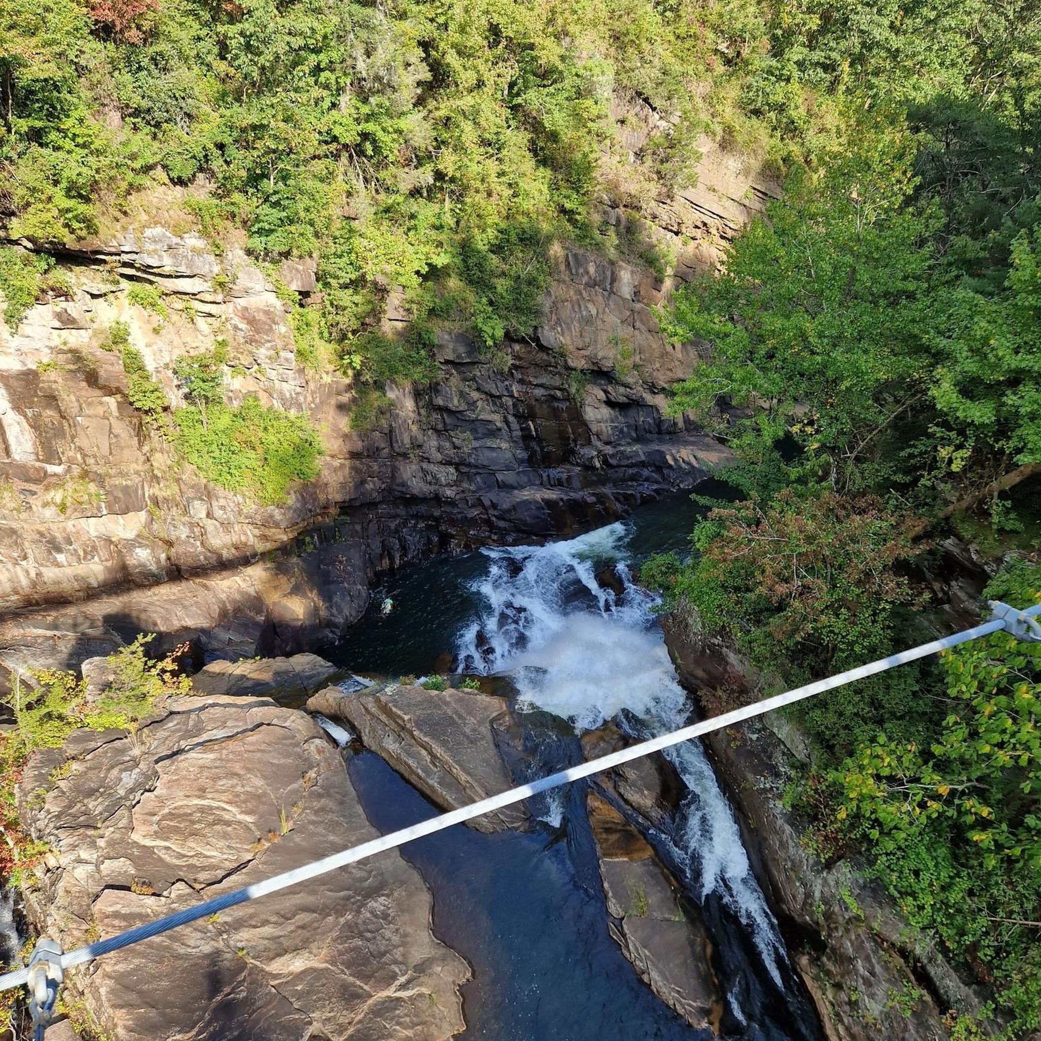
Road cycling around Tallulah Falls is characterized by its dramatic landscapes and significant elevation changes within the North Georgia Mountains. The region features the deep Tallulah Gorge, offering routes that wind through mountainous terrain with challenging ascents and descents. Road cyclists can expect curvy country roads and views of natural features like Tallulah Lake and the surrounding forests.
Best road cycling routes around Tallulah Falls
- The most popular road cycling route is Shortline Trail & Bridge Creek Road loop,…
Last updated: October 10, 2026
5.0
(1)
19
riders
54.1km
02:37
680m
680m
Moderate road ride. Good fitness required. Mostly well-paved surfaces and easy to ride.
5.0
(1)
25
riders
58.9km
02:58
820m
820m
Moderate road ride. Good fitness required. Some segments of this route may be unpaved and difficult to ride.

17
riders
79.8km
04:07
1,140m
1,140m
Hard road ride. Very good fitness required. Mostly well-paved surfaces and easy to ride.
8
riders
46.3km
02:23
650m
660m
Moderate road ride. Good fitness required. Mostly well-paved surfaces and easy to ride.
5.0
(1)
5
riders
5.91km
00:35
70m
80m
Easy road ride. Great for any fitness level. Mostly well-paved surfaces and easy to ride.
Our route recommendations are based on thousands of hikes, rides, and runs completed by other people on komoot.
Start today with a free account
Your next adventure awaits.
Popular around Tallulah Falls

Tips from the Community

Country gas station convenience store with a burger grill and biscuit options - https://maps.app.goo.gl/3YjCHBfsK9ov6yvP6
0
0

What was formerly (and still is most widely) known as Tallulah Falls Rail Trail is now called the Shortline Trail. It skirts within the border of Tallulah Gorge State Park and crosses the Tallulah River on a small bridge. The path is otherwise paved and can be made into a small loop using the surrounding country roads.
1
0
What was formerly (and still is most widely) known as Tallulah Falls Rail Trail is now called the Shortline Trail. It skirts within the border of Tallulah Gorge State Park and crosses the Tallulah River on a small bridge. The path is otherwise paved and can be made into a small loop using the surrounding country roads. If you ever see the trail name "Bill and Dustie MacKay Trail", this is the same path! It technically has 3 names, now.
0
0
Frequently Asked Questions
How many road cycling routes are available around Tallulah Falls?
The Tallulah Falls area offers a network of 6 road cycling routes, catering to various skill levels. You'll find a mix of easy, moderate, and difficult options to explore the dramatic landscapes of the North Georgia Mountains.
What is the typical terrain like for road cycling in Tallulah Falls?
Road cycling in Tallulah Falls is characterized by significant elevation changes and winding country roads. You can expect challenging ascents and descents through mountainous terrain, with routes often featuring nearly 5,000 feet of climbing over 60 miles. The area provides a blend of demanding climbs and scenic rolling hills.
When is the best time of year to go road cycling in Tallulah Falls?
Autumn is widely considered the best time for road cycling in Tallulah Falls. The region is renowned for its vibrant fall foliage, which creates a stunning backdrop for rides. The cooler temperatures during this season also make the challenging climbs more enjoyable.
Are there options for less experienced road cyclists in the Tallulah Falls area?
Yes, while many routes offer significant challenges, there are options for less experienced riders. The network includes 1 easy route and 3 moderate routes. For example, the Shortline Trail & Bridge Creek Road loop is a moderate option that provides varied terrain and scenic views without being overly strenuous.
What kind of challenges can advanced road cyclists expect in Tallulah Falls?
Advanced road cyclists will find plenty of challenges in Tallulah Falls, with 2 difficult routes available. These routes feature substantial elevation gains and long distances. For instance, the Oceana Falls Overlook – Seed Lake loop from Tallulah Falls is an 80.6-mile trail with over 6,000 feet of climbing, leading through demanding mountain terrain.
What scenic viewpoints can I find along road cycling routes in Tallulah Falls?
Many routes offer breathtaking views of the Tallulah Gorge and the surrounding North Georgia Mountains. You can find overlooks such as Overlook 3 – View of Tallulah Gorge Waterfall and Oceana Falls Overlook, providing dramatic vistas of the canyon and its waterfalls.
Are there any waterfalls visible from road cycling routes in the Tallulah Falls area?
While direct access to all waterfalls might require hiking, road cycling routes often provide views of the dramatic Tallulah Gorge, which features six spectacular waterfalls. You can experience views of these natural wonders from various overlooks. Nearby, you can also find other beautiful falls like Panther Creek Falls and Minnehaha Falls.
Are there loop routes available for road cyclists in Tallulah Falls?
Yes, many of the road cycling routes in Tallulah Falls are designed as loops, allowing you to start and end at the same point. Examples include the Shortline Trail & Bridge Creek Road loop and the Seed Lake loop from Nacoochee Dam, which offer scenic circular rides.
Where can I park when planning a road cycling trip to Tallulah Falls?
Tallulah Gorge State Park serves as a central hub for outdoor activities in the area and is a good starting point for many routes. It offers parking facilities, providing convenient access to the region's diverse trail system and road cycling opportunities.
Do I need any special permits for road cycling in the Tallulah Falls area?
Generally, no special permits are required for road cycling on public roads in the Tallulah Falls area. However, if your route takes you into Tallulah Gorge State Park or other specific recreational areas, it's advisable to check their official websites for any day-use fees or specific regulations that might apply.
What do other road cyclists appreciate most about the routes in Tallulah Falls?
The road cycling routes in Tallulah Falls are highly rated by the komoot community, with an average score of 5.0 stars. Reviewers often praise the dramatic gorge views, the challenging nature of the climbs, and the picturesque winding roads through the North Georgia Mountains. The blend of natural beauty and physical challenge is a consistent highlight.
Are there any routes that offer views of Tallulah Lake?
Yes, several routes provide scenic views of Tallulah Lake. For example, the Seed Lake loop from Nacoochee Dam and the Seed Lake loop from Tallulah Falls both feature views of the lake and the surrounding mountainous landscape, offering a serene contrast to the dramatic gorge.
Most popular attractions around Tallulah Falls

Get inspired with the komoot mobile app


Explore more
Browse the best Road cycling routes in other regions.
