The best walks and hikes around Broomlee Lough
4.5
(858)
5,889
hikers
122
hikes
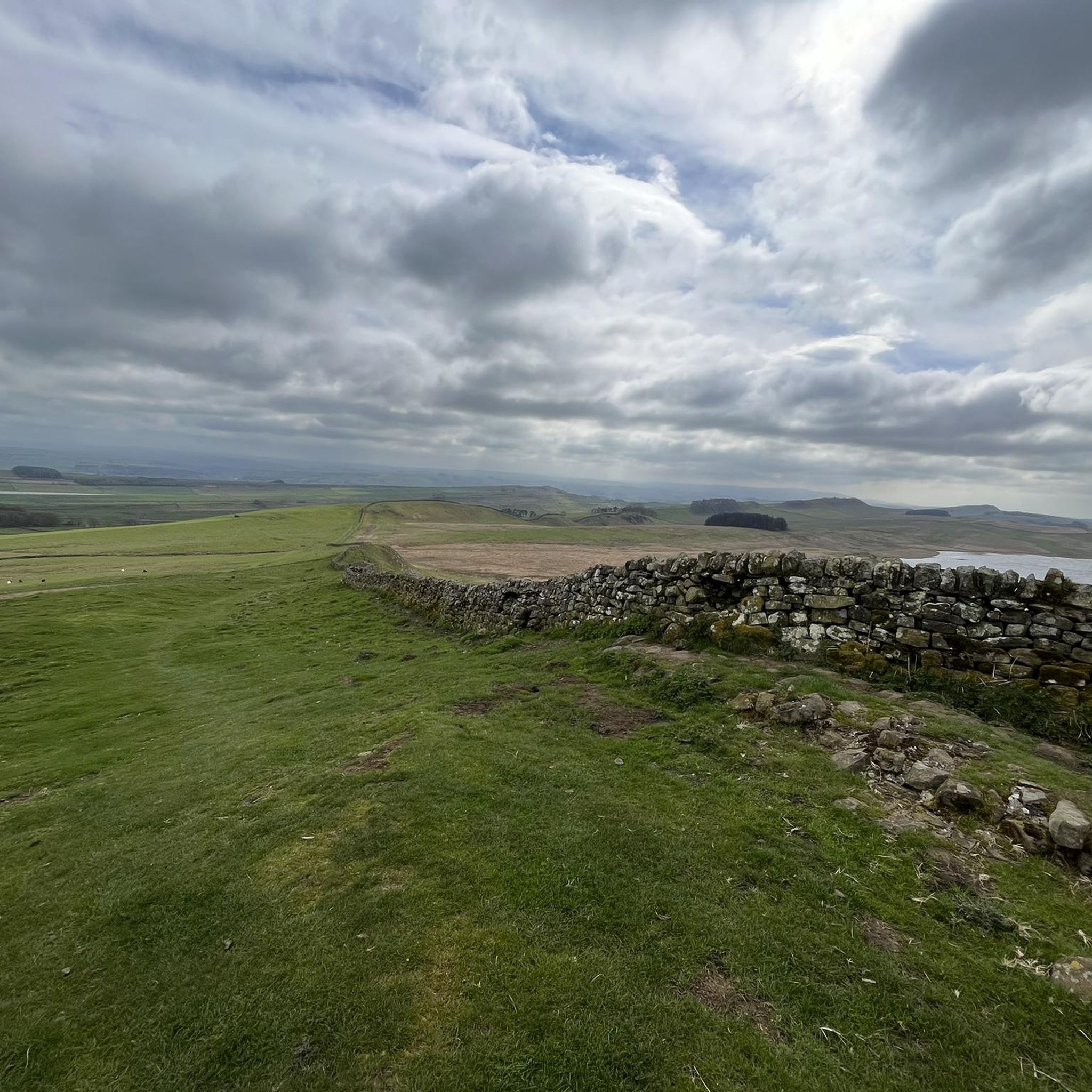
Hikes around Broomlee Lough explore the landscape of Northumberland National Park. The area is defined by the presence of Hadrian's Wall, which follows the escarpments of the Whin Sill geological formation. The terrain features open moorland, rolling hills, and sections of path along historic Roman fortifications.
Best hiking trails around Broomlee Lough
- The most popular hiking route is the Hadrian's Wall – Sycamore Gap (Robin Hood Tree) loop from Bardon Mill, a 4.2 mile (6.8 km) trail that takes…
Last updated: October 13, 2026
15
hikers
4.78km
01:23
130m
120m
Easy hike. Great for any fitness level. Easily-accessible paths. Suitable for all skill levels.
5.0
(3)
68
hikers
Easy hike. Great for any fitness level. Easily-accessible paths. Suitable for all skill levels.

5.0
(4)
26
hikers
8.24km
02:18
150m
150m
Moderate hike. Good fitness required. Easily-accessible paths. Suitable for all skill levels.
31
hikers
Easy hike. Great for any fitness level. Easily-accessible paths. Suitable for all skill levels.
8
hikers
9.48km
02:39
180m
180m
Moderate hike. Good fitness required. Easily-accessible paths. Suitable for all skill levels.
Get access to more routes and recommendations from other explorers.
Already have an account?
Our route recommendations are based on thousands of hikes, rides, and runs completed by other people on komoot.
Start today with a free account
Your next adventure awaits.

Tips from the Community


Benches, coffee and snacks, toilets available - see photos
0
0

You have to go off the path down to the entrance of the museum. there the cabinet hangs to the right of the entrance on the wall
0
0

Housestead Fort is one of the most impressive Roman forts you can ever come across. It is super well preserved and free to enter if you belong to the National Trust, so don't forget your card. There is a small museum and shop nearby where you can get entry tickets, coffee, and snacks.
0
0

These are lime kilns. Limestone was burnt to produce lime which was spread on the fields to improve the fertility.
0
0

Sewingshields Crags 325m P63 (1066ft) (DoBIH Hill ID: 15984) [JNSA 12433] County of Northumberland Definitive List summit. Northumberland National Park Definitive List summit.
0
0
King’s Hill 291.6m P19.6 (957ft) (Hill ID: 510888) [JNSA s10360] County of Northumberland Definitive List summit. Northumberland National Park Definitive List summit.
0
0

Information about this magnificent long-distance hiking trail—along this border fortification dating back to Roman times (the 120s AD) and commissioned by Emperor Hadrian—is no longer available only on printed maps or books. Hikers who would like to gather information online in advance can find it on the official website, which is entitled: "Follow in the footsteps of Romans and trek alongside an ancient monument on a coast-to-coast walk across northern England." If you are interested, please follow this link =>> https://www.nationaltrail.co.uk/en_GB/trails/hadrians-wall-path/
0
0
Frequently Asked Questions
Are there any easy, family-friendly walks around Broomlee Lough?
Yes, the area offers several easier hikes suitable for a family outing. For a walk that is particularly popular with families, consider the trail to Hareshaw Linn. It features well-maintained paths leading to a waterfall and is often described as great fun for kids. There are about 49 easy trails in the region to choose from.
What is the terrain like on the Hadrian's Wall trails?
The terrain is varied. You'll be walking on paths that follow the dramatic escarpments of the Whin Sill, which means there are some steep, but generally short, ascents and descents. The trails often consist of grassy paths, flagstones, and some sections on open moorland. Good walking shoes are recommended as the ground can be uneven.
Can I take my dog on hikes around Broomlee Lough?
Dogs are generally welcome on the public footpaths in Northumberland National Park. However, this is a rural area with livestock, particularly sheep. You must keep your dog on a lead and under close control at all times, especially during lambing season (spring). Also be mindful of ground-nesting birds.
Where can I park to access the Hadrian's Wall trails?
There are several car parks managed by Northumberland National Park. Popular choices include Steel Rigg car park, which provides good access to the central, most dramatic section of the wall. Housesteads Roman Fort also has a large car park. The Sill National Landscape Discovery Centre is another excellent starting point with ample parking and visitor facilities. Parking is often pay-and-display.
Is it possible to reach the hiking trails using public transport?
Yes, the AD122 Hadrian's Wall Country Bus is a seasonal service that connects major sites and car parks along the wall, including Housesteads, The Sill, and Steel Rigg, with towns like Hexham. This is a great option for planning linear walks without having to retrace your steps. Always check the current timetable before you travel as services are less frequent outside of the peak summer season.
Are there any circular walks available?
Absolutely. Many of the best routes in the area are loops that allow you to experience different aspects of the landscape. A good example is the Hadrian's Wall loop from Hadrian's Wall, which is an easy 3.4-mile (5.4 km) walk that gives you a great taste of the scenery without being too strenuous.
What do other hikers enjoy most about the Broomlee Lough area?
The komoot community rates the area very highly, with an average of 4.5 stars. Reviewers frequently praise the stunning panoramic views from the top of the crags, the unique experience of walking alongside the historic Roman wall, and the wild, open beauty of the Northumberland landscape.
Are there any pubs or cafes near the trails for refreshments?
Yes, you can find options near the main visitor sites. The Sill National Landscape Discovery Centre has a café. Near Housesteads Roman Fort, you'll find a few pubs and cafes in the surrounding villages. The village of Bardon Mill also has options for food and drink before or after your hike.
What is the historical significance of Housesteads Roman Fort?
Housesteads is one of the most complete examples of a Roman fort in Britain. Perched on a dramatic escarpment, it offers a fascinating insight into Roman military life on the northern frontier of the empire. You can walk among the ruins of the barracks, hospital, and commander's house, and the on-site museum displays artifacts found there. A great walk to see it is the Knag Burn Gateway – Housesteads Roman Fort loop from Bardon Mill.
What is the best time of year to hike near Broomlee Lough?
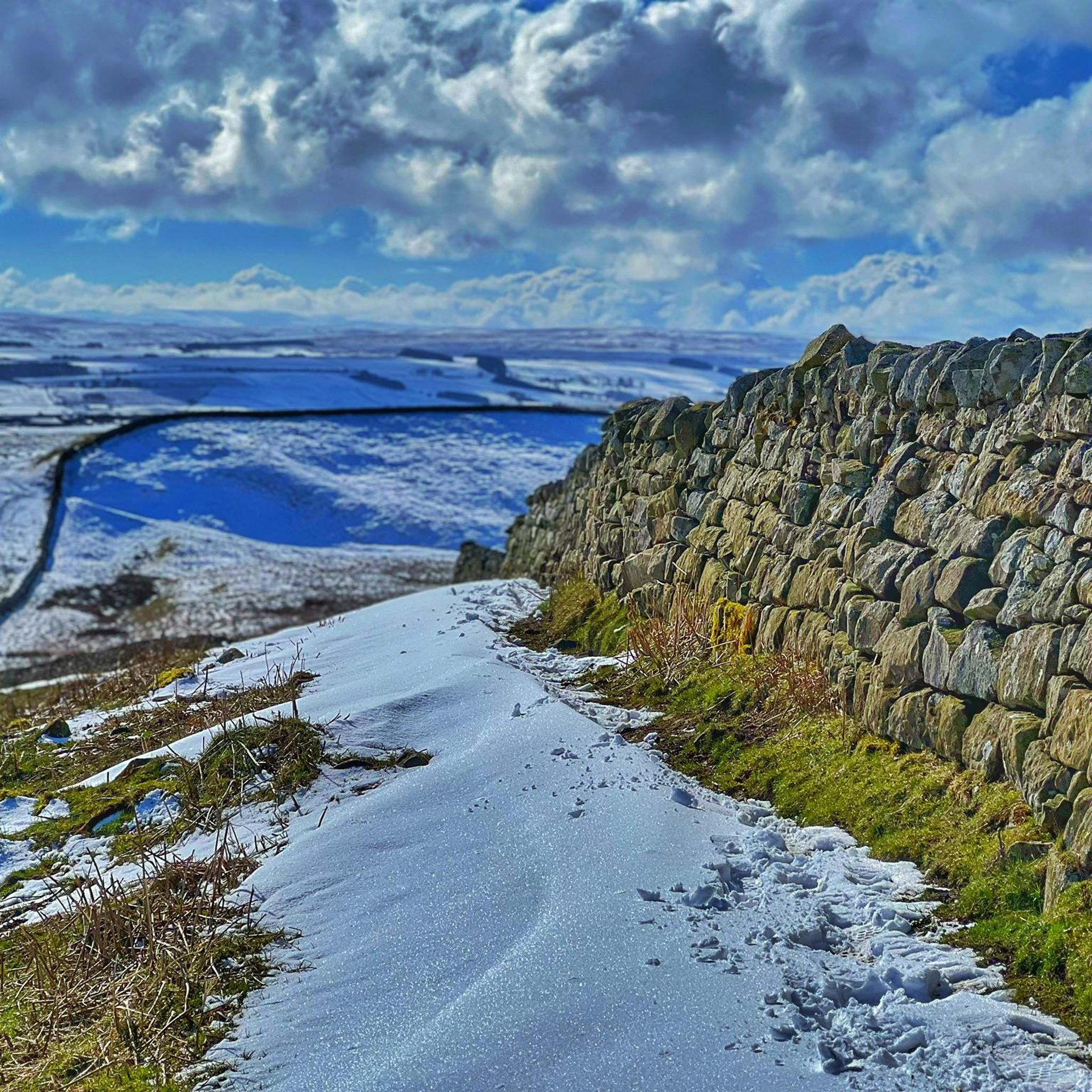
Late spring, summer, and early autumn (May to September) are ideal. During these months, the weather is generally milder, the days are longer, and the landscape is at its most vibrant. Heather blooms in late summer, turning the moors purple. Winter can be beautiful but challenging, with cold temperatures, strong winds, and the potential for snow and ice on the paths.
Are there any waterfalls to see on a hike?
While the immediate area is known more for its loughs and crags, a highly-regarded walk to a waterfall is located nearby at Hareshaw Linn. A well-laid path follows a stream through ancient woodland, crossing several bridges before reaching the impressive waterfall at the end. It's a popular choice for a slightly different kind of scenery.
Can I swim in Broomlee Lough?
No, swimming and other water sports are not permitted in Broomlee Lough. The lough is a Site of Special Scientific Interest (SSSI) and a Special Area of Conservation (SAC) to protect its sensitive environment and rare species. Please respect the conservation rules to help preserve this unique habitat.
Most popular routes around Broomlee Lough

Get inspired with the komoot mobile app


Explore more
Browse the best Hikes in other regions.
