The best road cycling routes around Strines Reservoir
4.7
(96)
4,515
riders
20
rides
Road cycling routes around Strines Reservoir are characterized by challenging terrain and scenic roads within the Bradfield Dale area of the Peak District National Park. The region features demanding climbs, quiet winding lanes, and diverse landscapes including reservoirs, moorland, and woodlands. Cyclists encounter significant elevation gains, with routes often connecting to other regional reservoirs like Ladybower and Damflask.
Best road cycling routes around Strines Reservoir
- The most popular road cycling route is Stanage and Burbage Edges loop from Ladybower,…
Last updated: July 10, 2026
4.8
(4)
43
riders
42.5km
02:33
810m
810m
Embark on a moderate road cycling adventure through the Peak District with the Stanage and Burbage Edges loop from Ladybower. This 26.4-mile (42.5 km) route challenges you with 2646 feet…
4.8
(5)
154
riders
47.5km
02:24
640m
640m
Embark on a moderate road cycling adventure with the Tideswell & Mam Tor Nick loop from Bamford. This route covers 29.5 miles (47.5 km) and features a significant elevation gain…

Sign up for free
36
riders
28.1km
02:05
590m
590m
Moderate road ride. Good fitness required. Mostly well-paved surfaces and easy to ride.
5.0
(1)
26
riders
69.4km
03:29
980m
980m
Hard road ride. Very good fitness required. Mostly well-paved surfaces and easy to ride.
23
riders
18.6km
00:57
270m
270m
Easy road ride. Great for any fitness level. Mostly well-paved surfaces and easy to ride.
Get access to more routes and recommendations from other explorers.
Sign up for free
Already have an account?
Our route recommendations are based on thousands of hikes, rides, and runs completed by other people on komoot.
Start today with a free account
Your next adventure awaits.
Login or Signup

Tips from the Community


Without doubt one of the best views around for miles. If you have arrived there from climbing up Mam Nick it makes it all the more rewarding.
1
0


Nice quiet place to escape the noise
0
0

Steep to start but levels out a little as you head around the corner before ramping up again a bit. Lovely views in all directions.
0
0

Absolutely iconic, I never tire of cycling past this jagged edge! It's much quieter than taking the main roads, but as there are a few car parks on this road, it's not a car-free route by any stretch. At peak times it can be busy, but cars are used to cyclists down here so there aren't usually issues.
0
0


Fantastic cafe, most reasonably priced in the village. Cakes, warm food, and staff are all top notch 🤓👌
1
0
Frequently Asked Questions
What is the general difficulty level for road cycling around Strines Reservoir?
Road cycling routes around Strines Reservoir are known for their challenging terrain, featuring significant elevation gains and demanding climbs. While there are some moderate options, the area is particularly popular for its harder routes, with gradients sometimes exceeding 25%. Out of 23 available routes, 13 are rated as moderate and 5 as difficult, making it a great destination for cyclists seeking a challenge.
What kind of terrain can I expect on road cycling routes near Strines Reservoir?
You can expect a variety of terrain, primarily quiet, winding lanes with smooth surfaces. However, the area is characterized by a 'rollercoaster' experience with repeated steep climbs and descents. While most routes are well-paved, some harder segments might include unpaved sections. The routes often traverse diverse landscapes including moorland, woodlands, and offer panoramic views of reservoirs and the Peak District.
Are there any notable landmarks or scenic viewpoints along the road cycling routes?
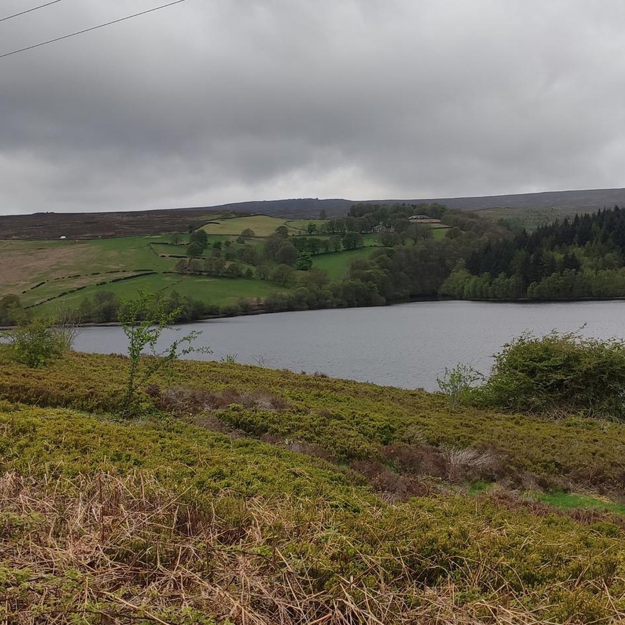
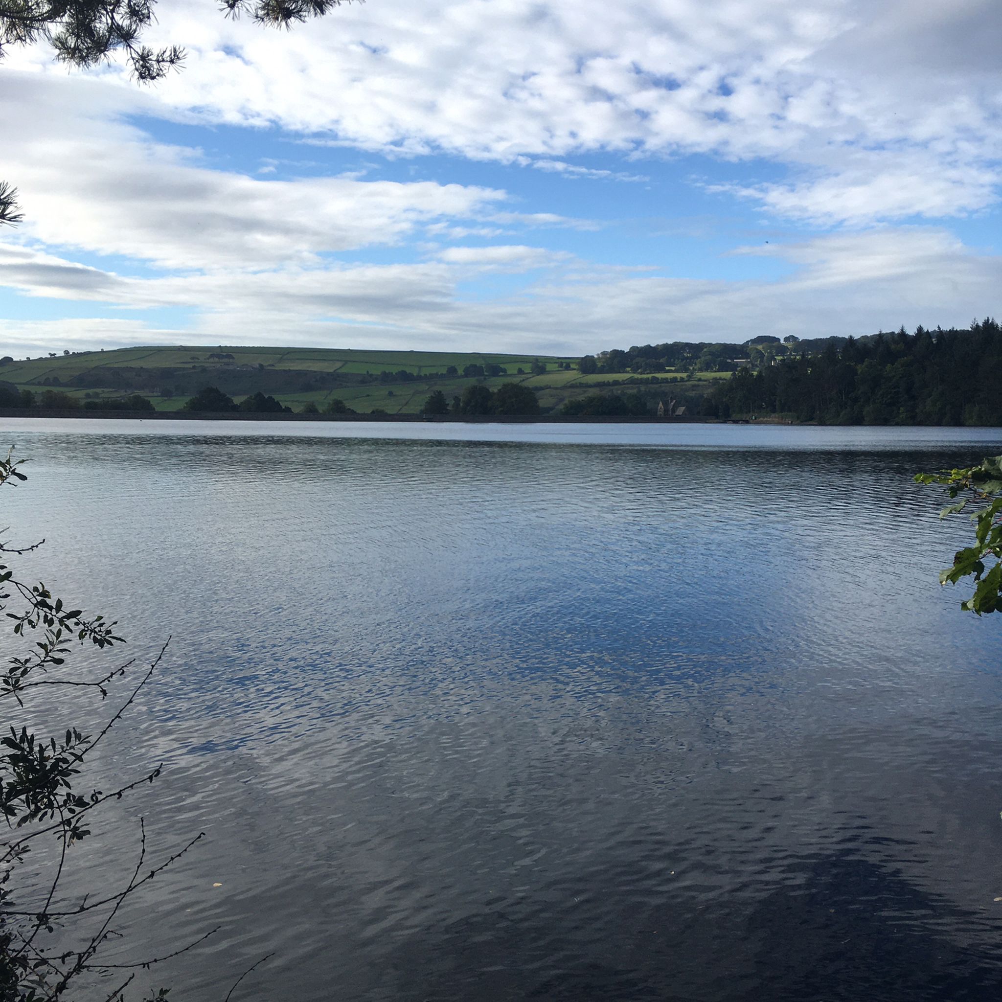
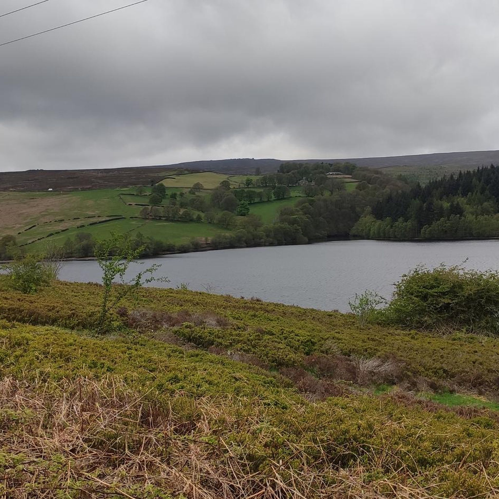
Yes, the area is rich with scenic views and landmarks. Cyclists can enjoy breathtaking views across the Bradfield Moors and towards the Derwent Moors, especially from vantage points like Blindside Lane. Notable landmarks include Boot's Folly, a distinctive tower, and historic structures like Brogging House. The routes also offer views of Strines Reservoir itself, along with other nearby reservoirs like Damflask and Agden.
How many road cycling routes are available around Strines Reservoir?
There are over 20 road cycling routes available around Strines Reservoir on komoot. These routes cater to various skill levels, with options ranging from moderate to difficult, ensuring there's a suitable challenge for most road cyclists.
What do other road cyclists enjoy most about the routes in this region?
The road cycling routes around Strines Reservoir are highly rated by the komoot community, with an average score of 4.6 stars from over 90 reviews. Cyclists frequently praise the challenging climbs, the quiet winding lanes, and the stunning panoramic views of the Peak District National Park and its reservoirs. The area's reputation as a training ground for professional cyclists also adds to its appeal.
Are there any family-friendly road cycling options around Strines Reservoir?
Given the challenging terrain and significant elevation gains, many routes around Strines Reservoir are geared towards experienced road cyclists. While there are 5 routes rated as easy, it's important to check the specific route details for distance and elevation to ensure it's suitable for all family members. The area is more renowned for its demanding climbs than gentle, flat paths.
Where can I find parking for road cycling near Strines Reservoir?
Parking is generally available in nearby villages and at popular starting points for routes. The Strines Inn is a well-known landmark and often serves as a starting point, suggesting parking might be available there or in designated areas nearby. It's advisable to check specific route descriptions or local information for detailed parking facilities.
What is the best time of year to go road cycling around Strines Reservoir?
The best time for road cycling around Strines Reservoir is typically during the spring, summer, and early autumn months when weather conditions are more favorable. These seasons offer better road surfaces, clearer views, and more comfortable temperatures for tackling the demanding climbs. Winter cycling can be challenging due to potential ice, snow, and colder temperatures on exposed moorland roads.
Can I connect to other reservoirs from Strines Reservoir on a road bike?
Yes, Strines Reservoir is often incorporated into longer rides that connect to other significant reservoirs in the region. You can extend your cycling adventures to include Ladybower, Derwent, Howden, Damflask, and Agden reservoirs, offering varied routes and even more panoramic views across the Peak District.
Are there any cafes or pubs along the road cycling routes for a break?
Yes, nearby villages such as High and Low Bradfield offer traditional English pubs like the Old Horns Inn and the Plough Inn, which provide amenities and resting points. The Strines Inn is also a popular spot and often serves as a starting or finishing point for rides, making it a convenient place for a break or refreshment.
What is a good moderate route to try if I'm new to the area?
A good moderate route to consider is the Edale Road – Mam Nick descent loop from Bamford. This route covers approximately 29 km with around 316 meters of elevation gain, offering a taste of the region's scenic beauty without the most extreme climbs.
Is there a route that offers a significant challenge for experienced cyclists?
For experienced cyclists seeking a significant challenge, the Stanage and Burbage Edges loop from Ladybower is an excellent choice. This route spans over 42 km and features more than 800 meters of elevation gain, providing demanding climbs and varied terrain across the Peak District.
Most popular routes around Strines Reservoir

Get inspired with the komoot mobile app


Explore more
Browse the best Road cycling routes in other regions.
