The best walks and hikes around Diepflingen
4.6
(2114)
11,036
hikers
668
hikes
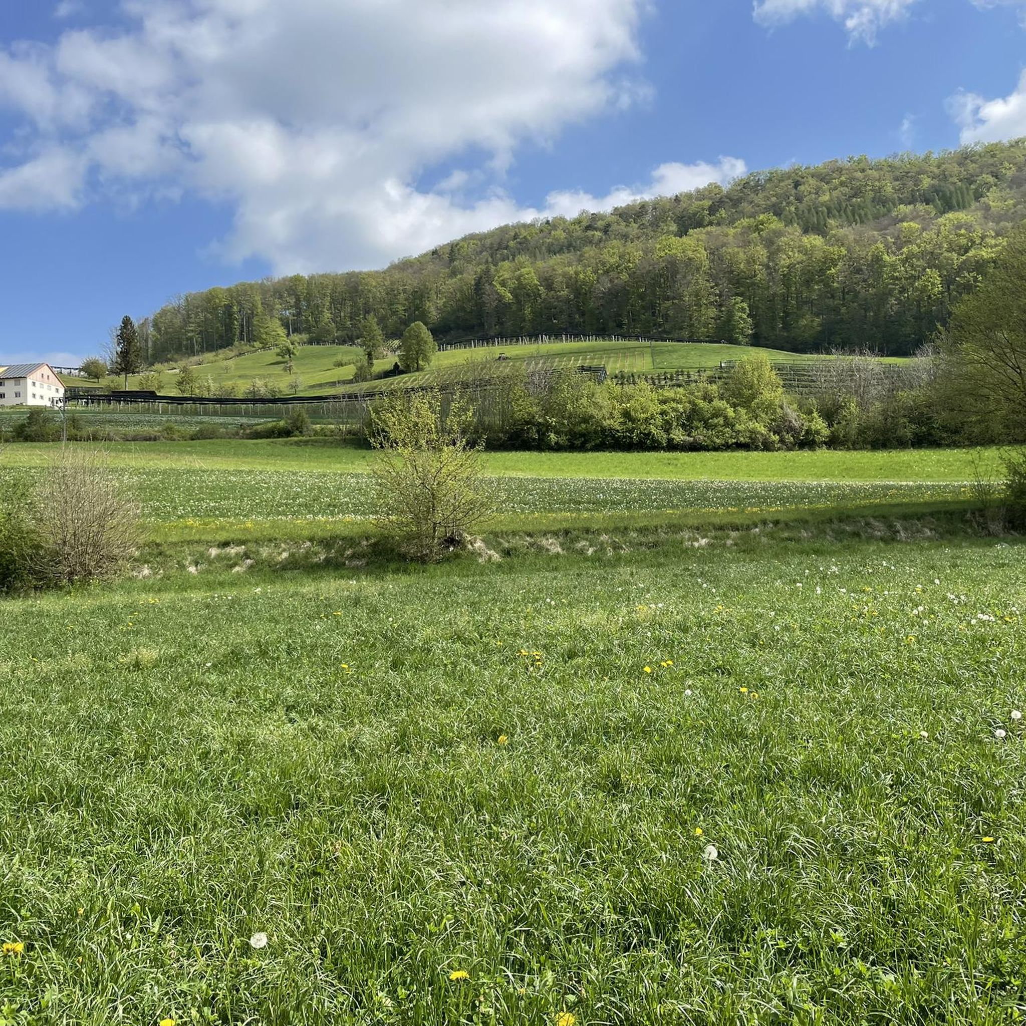
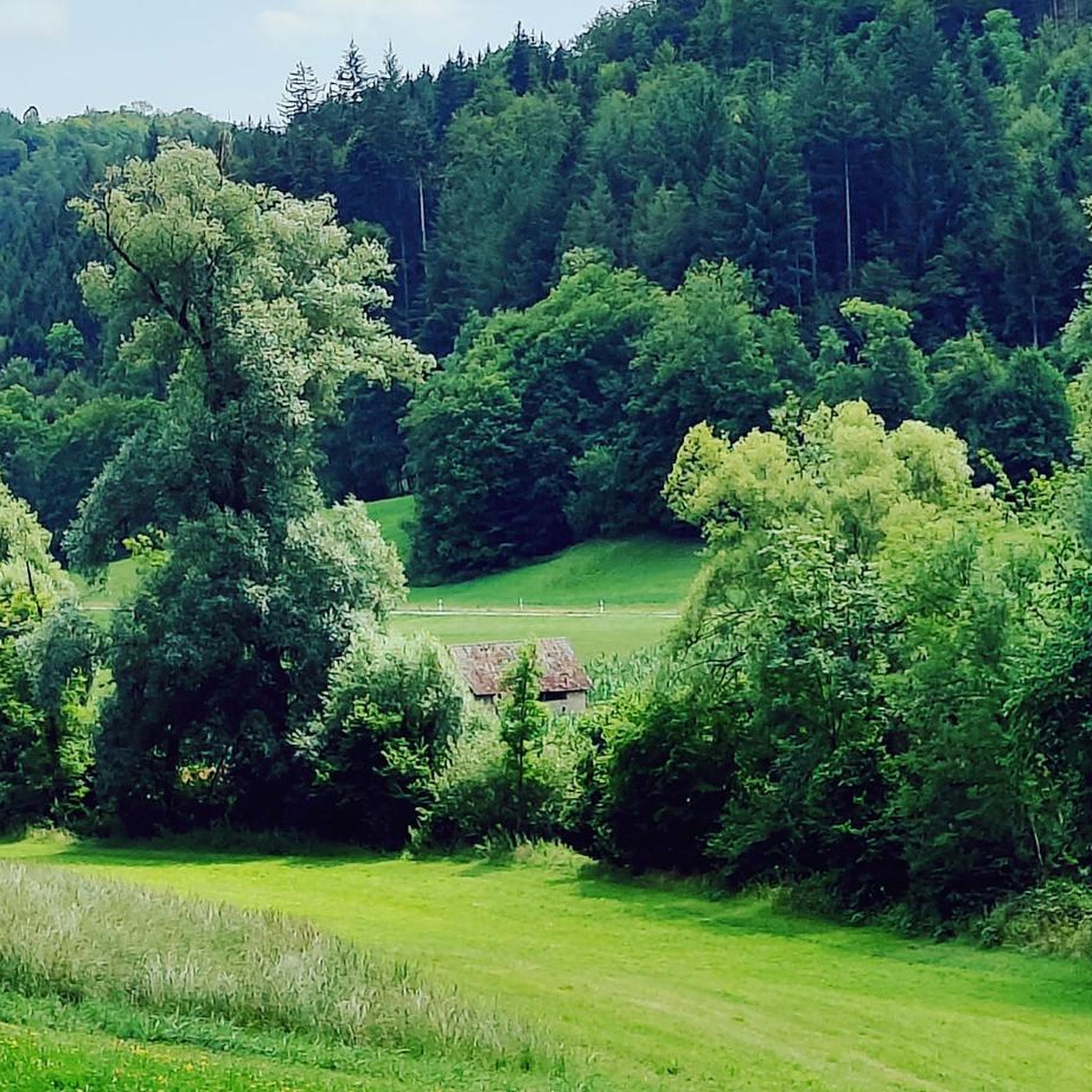
Hiking around Diepflingen offers a diverse network of trails within the scenic landscapes of Oberbaselbiet and the Faltenjura. The region is characterized by its unique geological formations, including the Baselbieter Tafeljura, and features hills like the Wisenberg. Hikers can explore varied terrain, from gentle paths along streams to more demanding routes with significant elevation changes. This area provides an ideal setting to experience the natural beauty of the Swiss Jura.
Best hiking trails around Diepflingen
- The most popular hiking route…
Last updated: June 27, 2026
4.4
(14)
85
hikers
6.81km
01:54
140m
140m
Easy hike. Great for any fitness level. Easily-accessible paths. Suitable for all skill levels.
4.2
(6)
38
hikers
8.61km
02:27
200m
200m
Moderate hike. Good fitness required. Easily-accessible paths. Suitable for all skill levels.

Sign up for free
4.3
(6)
37
hikers
10.8km
03:01
210m
210m
Moderate hike. Good fitness required. Easily-accessible paths. Suitable for all skill levels.
21
hikers
8.65km
02:16
70m
70m
Moderate hike. Good fitness required. Easily-accessible paths. Suitable for all skill levels.
4.5
(4)
22
hikers
15.1km
04:51
590m
590m
Moderate hike. Good fitness required. Mostly accessible paths. Sure-footedness required.
Get access to more routes and recommendations from other explorers.
Sign up for free
Already have an account?
Our route recommendations are based on thousands of hikes, rides, and runs completed by other people on komoot.
Start today with a free account
Your next adventure awaits.
Login or Signup
Tips from the Community

Above the Rünenberger Giessen lies this cozy spot with a small water basin (a Gumpen), where you can cool your feet wonderfully in the summer. Even in earlier times, people from the surrounding area came here to bathe. Above the Gumpen there is also a barbecue area, below you can descend to the Giessen.
1
0
Described above is the upper waterfall, the "Rünenberger Gießen", where the water falls over a curved rock face 18 m into the depths, forming a stately tufa pyramid below, with the jet atomizing roaring and foaming depending on the water level. In winter, fascinating icicle formations are created at sub-zero temperatures. Above the waterfall is the "Löligumpi", where you could swim in the past. A little further down follows the Kleine Giessen - also with a beautiful tuff cone.
0
0

Here stands not the tower, but an old shelter with an interesting inscription. It also offers a fire pit and a view.
1
0


Various hiking trails branch off here.
7
0
Once again Felegenheir to fill the water bottle.
6
0

Nice barbecue area equipped with a good grill.
1
0
Nice barbecue area equipped with a good grill.
1
0
Frequently Asked Questions
How many hiking trails are available around Diepflingen?
Diepflingen offers an extensive network of trails, with over 680 hiking routes listed on komoot. This includes a wide variety of options catering to different preferences and fitness levels.
What kind of terrain can I expect on hikes near Diepflingen?
The hiking terrain around Diepflingen is diverse, characterized by the scenic Faltenjura and Baselbieter Tafeljura. You'll find everything from gentle paths along streams to more demanding routes with significant elevation changes, especially in areas like the Wisenberg. The region offers a mix of picturesque views and varied landscapes.
Are there hiking options for all skill levels?
Yes, Diepflingen provides hiking options for all skill levels. The area features 336 easy routes for leisurely strolls, 321 moderate excursions for those seeking a bit more challenge, and 23 more difficult routes for experienced hikers looking for a demanding adventure.
Are there any waterfalls to see on hikes around Diepflingen?
Yes, the region features beautiful natural waterfalls. You can explore routes that include the Lower Giessenfall, such as the Lower Giessenfall – Sommerau Railway Station loop from Diepflingen. Other notable waterfalls in the broader area include the Rünenberger Giessen and the Sormatt Waterfall.
Can I find panoramic viewpoints or observation towers?
Absolutely. The Wisenberg area is particularly known for its panoramic vistas. A popular route, the Wisenberg – Wisenberg Observation Tower loop from Sommerau, leads directly to the Wisenberg Observation Tower, offering stunning views of the surrounding landscape.
Are there family-friendly hiking trails in Diepflingen?
Yes, with a significant number of easy routes, Diepflingen is well-suited for family outings. Many trails offer gentle paths and shorter distances, making them enjoyable for children and those looking for a relaxed walk. Look for routes with lower elevation gain and shorter durations.
Are dogs allowed on the hiking trails around Diepflingen?
Generally, dogs are welcome on hiking trails in Switzerland, including those around Diepflingen. However, it's always recommended to keep your dog on a leash, especially in nature reserves, near livestock, or in crowded areas, to ensure the safety and comfort of all trail users and wildlife.
Where can I park when hiking in Diepflingen?
While specific parking locations aren't detailed for every trailhead, many routes around Diepflingen, especially those starting from villages or railway stations like Sommerau, typically have designated parking areas nearby. It's advisable to check the starting point of your chosen route for local parking information.
How can I reach the hiking trails around Diepflingen by public transport?
Diepflingen and its surrounding areas are generally accessible by public transport, primarily through the Swiss railway network (SBB) and local bus services. Many hiking routes, such as those starting from Sommerau Railway Station, are conveniently located near public transport hubs, allowing for easy access without a car.
Are there many circular hiking routes available?
Yes, many of the hiking routes around Diepflingen are designed as loops, offering the convenience of starting and ending at the same point. Examples include the Sommerau Railway Station – Lower Giessenfall loop from Sommerau and the Idyllic Stream – Exotic Aviary Sissach loop from Diepflingen.
What do other hikers say about the trails in Diepflingen?
The trails in Diepflingen are highly regarded by the komoot community, boasting an average rating of 4.6 stars from over 1900 reviews. Hikers frequently praise the varied terrain, picturesque views, and the well-maintained paths that make exploring the Faltenjura and Baselbieter Tafeljura a rewarding experience.
What is the best time of year to go hiking in Diepflingen?
The best time to hike in Diepflingen is typically from spring through autumn (April to October). During these months, the weather is generally mild and pleasant, and the landscapes are vibrant. While winter hiking is possible, some trails might be challenging due to snow or ice, so checking local conditions is recommended.
Most popular routes around Diepflingen
Most popular attractions around Diepflingen

Get inspired with the komoot mobile app


Explore more
Browse the best Hikes in other regions.
