The best walks and hikes around Dienstweiler
4.5
(6347)
25,466
hikers
592
hikes
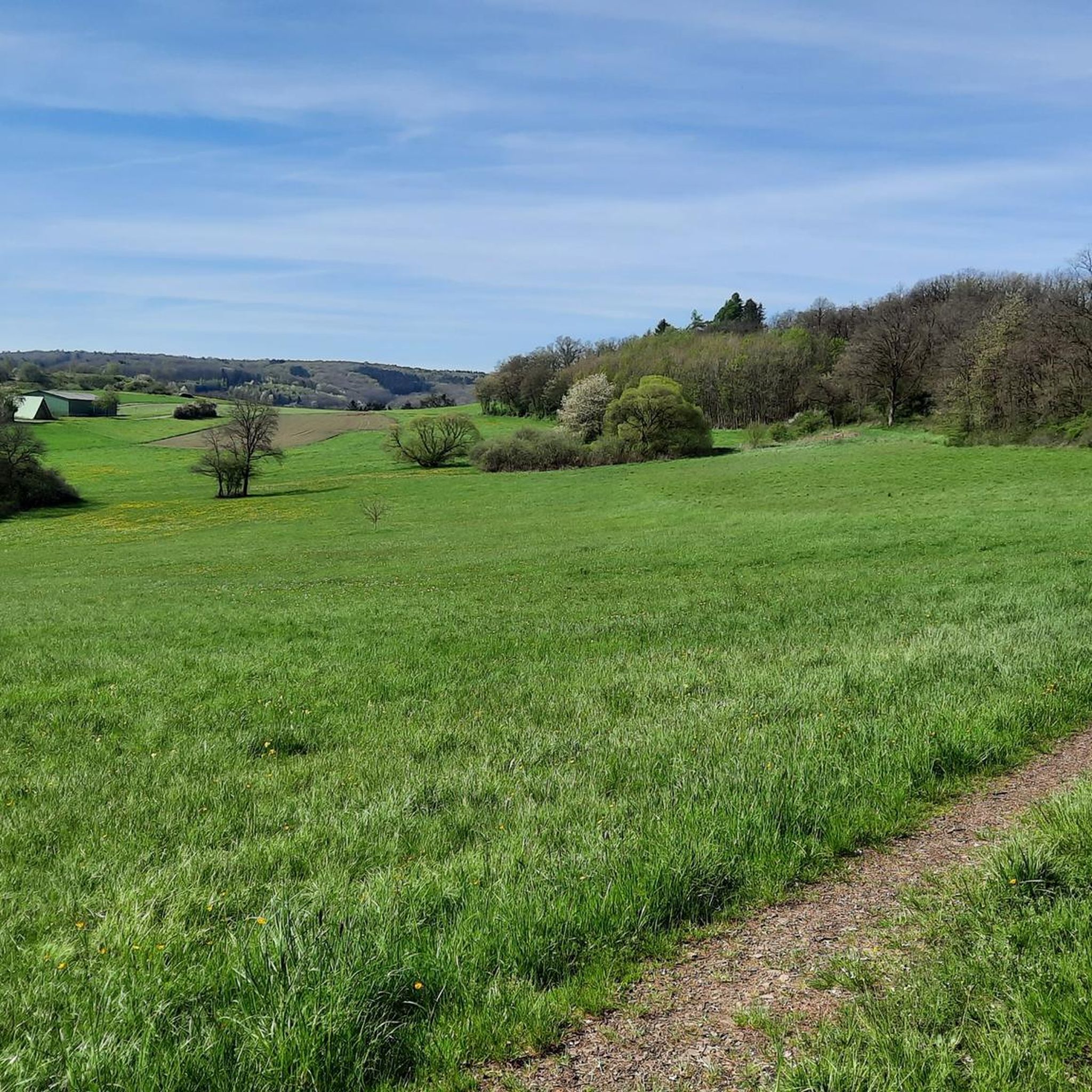
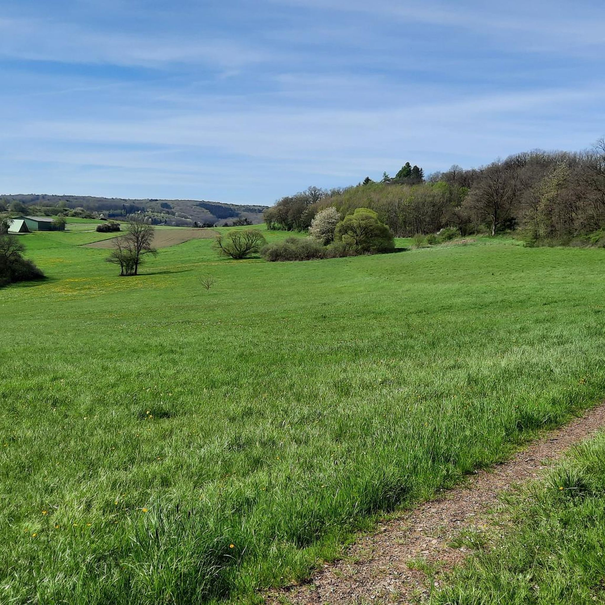
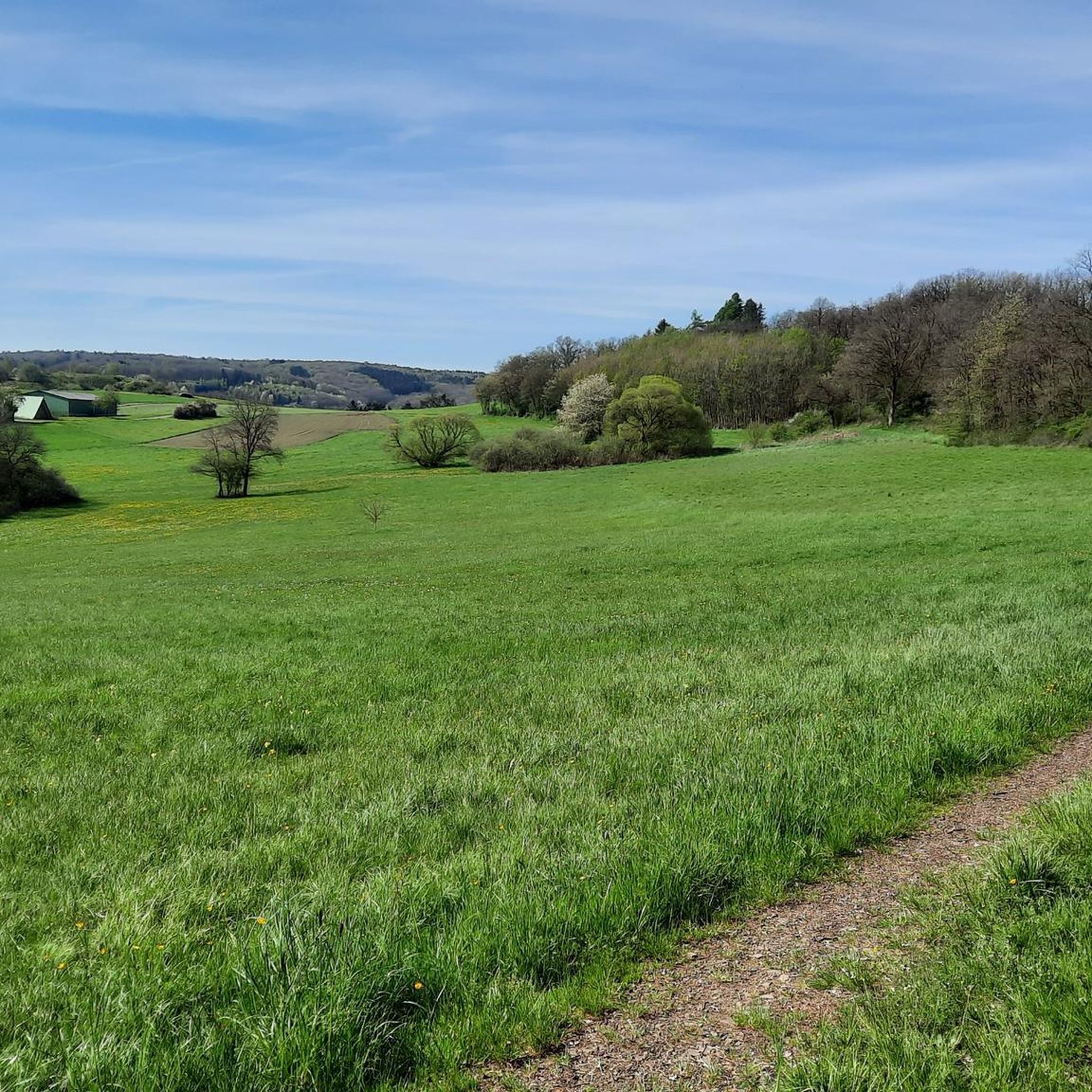
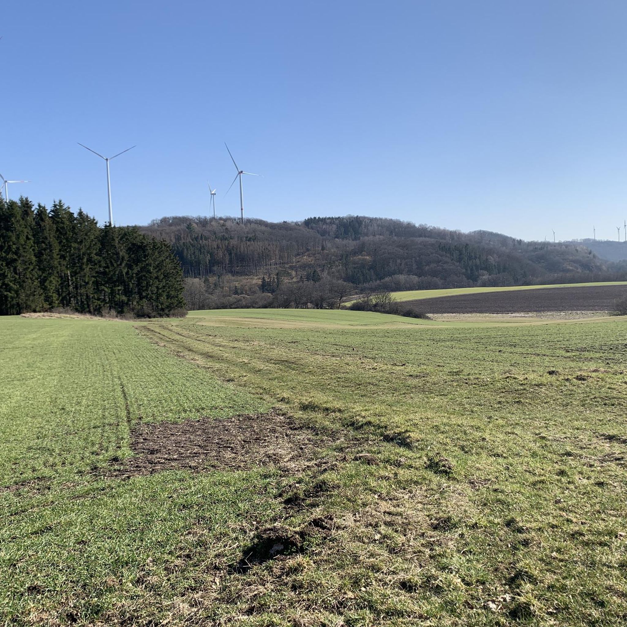
Hiking around Dienstweiler offers diverse landscapes at the edge of the Hunsrück in Rhineland-Palatinate, Germany. Situated in a dale at an average elevation of 400 meters above sea level, the area features substantial wooded areas and numerous watercourses. The Hunsrück-Nahe region provides varied topography, including forests, river valleys, and open fields, making it suitable for outdoor exploration.
Best hiking trails around Dienstweiler
- The most popular hiking route is Schleifmühle on the Nahe – Nahe Island Viewpoint loop from Nohen,…
Last updated: June 29, 2026
4.8
(8)
26
hikers
8.76km
02:31
200m
200m
Moderate hike. Good fitness required. Easily-accessible paths. Suitable for all skill levels.
3.8
(5)
20
hikers
Easy hike. Great for any fitness level. Easily-accessible paths. Suitable for all skill levels.

Sign up for free
5.0
(7)
38
hikers
10.1km
02:37
60m
60m
Moderate hike. Good fitness required. Easily-accessible paths. Suitable for all skill levels.
4.3
(3)
20
hikers
11.4km
03:12
230m
230m
Moderate hike. Good fitness required. Easily-accessible paths. Suitable for all skill levels.
4.3
(4)
14
hikers
11.4km
03:09
190m
190m
Moderate hike. Good fitness required. Easily-accessible paths. Suitable for all skill levels.
Get access to more routes and recommendations from other explorers.
Sign up for free
Already have an account?
Our route recommendations are based on thousands of hikes, rides, and runs completed by other people on komoot.
Start today with a free account
Your next adventure awaits.
Login or Signup
Tips from the Community

Directly after the bridge is the Nohener Schleifmühle.
1
0
The Nohener-Nahe-Schleife is an approximately 12.5 km long premium circular hiking trail (Traumschleife) in the Nahe Valley near Nohen (Birkenfeld municipality, Rhineland-Palatinate). The trail offers wild and romantic river landscapes, mixed forests, spectacular views, the "Waldgeistersteig" (Forest Spirit Trail) for children, and is easily accessible via the certified "Wanderbahnhof" (hiking station) Nohen on the Saarbrücken-Mainz route.
1
0
The Finothek with several benches invites you to linger. Here there is a small cabinet with wine varieties Scheurebe, Riesling, Portugieser Rosé and Dornfelder. A 0.25 liter bottle costs €3 (as of 4/2026). Wine glasses are also in the cabinet. There is a box behind the cabinet where you put the glasses and empty bottles. Great idea! The view is also great and there is an emergency kit in the cabinet by the railing.
1
0
Impressive views including Felsenklipp, Nahe-Wiesen-Klipp, Naheblick, Weinschrank (don't forget change). In 2012, the German Hiking Institute rated the Nohener-Nahe-Schleife with 85 experience points in the initial certification. In the periodic recertification in 2024, the work of the volunteers active since 2011 was rewarded: 95 experience points were awarded to the Traumschleife, thus achieving an increase again compared to the years 2020 and 2021, when the Traumschleife already received a very good 92 points. See: https://www.nohen.de/nohener_nahe_schleife.html
1
0
The „Nahe-Insel“ viewpoint is an idyllic resting place directly on the river as part of the Traumschleife Nohener Nahe Schleife near Nohen. It is part of an approx. 11-12 km long, moderately difficult premium hiking trail that leads through the Nahe valley, forest passages and to rock cliffs. The Nahe island is located near the Haubartsbach, along the circular route, shortly before the crossing at the Schleifmühle.
1
0

Protected behind a transformer house are two benches with a beautiful view over Birkenfeld
0
0

Walking along the Nahe, listening to the sound of the water and the chirping of the birds - pure relaxation
0
0

📍 On the Nohen Nahe Loop In the middle of the valley, directly on the Nahe River, stands the Schleifmühle (Grinding Mill) – a charming half-timbered house with a working mill wheel. Today, in the fog and drizzle, it seemed like it had stepped out of time: quiet, enchanted, and full of history. A place that invites you to linger. 💡 Tip: Be sure to pause for a moment, enjoy the gentle rippling of the water, and absorb the special atmosphere. A perfect place for a short rest.
0
1
Frequently Asked Questions
How many hiking trails are available around Dienstweiler?
There are over 580 hiking routes in the Dienstweiler area, catering to various preferences. This includes more than 320 easy routes, 240 moderate trails, and 24 more challenging options.
What kind of landscapes can I expect while hiking near Dienstweiler?
Dienstweiler is situated at the edge of the Hunsrück-Nahe region, offering a diverse landscape of dense woodlands, river valleys, and open fields. You'll find picturesque dales, numerous watercourses, and varied topography, characteristic of a low mountain range. The region's geological history also contributes to its appeal, with landscapes formed millions of years ago by natural forces.
Are there any family-friendly hiking options in Dienstweiler?
Yes, Dienstweiler offers many easy routes suitable for families. For example, the Fischwaid Fishing Pond loop from Birkenfeld is an easy 4.0 km path, perfect for a gentle walk with children around a scenic pond.
What historical or cultural sites can be explored on hikes in the region?
The region is rich in history, particularly along the Sirona Way (Sirona-Weg), a long-distance trail that follows in the footsteps of the Celts and Romans. This trail features information boards, reconstructed Celtic villages, cultural monuments, hilltop castles, burial mounds, sanctuaries, and museums, offering insights into early historical life.
Are there any circular hiking routes around Dienstweiler?
Yes, many routes around Dienstweiler are circular. A popular moderate option is the Schleifmühle on the Nahe – Nahe Island Viewpoint loop from Nohen, which is 8.8 km long and offers varied terrain and scenic views.
What do other hikers say about the trails in Dienstweiler?
The hiking routes in Dienstweiler are highly rated by the komoot community, with an average score of 4.5 stars from over 5,700 reviews. Hikers often praise the diverse landscapes, well-maintained paths, and the opportunity to immerse themselves in nature.
Are there any notable natural attractions or viewpoints along the trails?
The area features several natural attractions. You can find beautiful views, such as the View of Bostalsee from the dam, or explore the tranquil Bostalsee North Shore. The region's numerous watercourses and dense woodlands also provide picturesque natural settings.
Can I hike with my dog in Dienstweiler?
While specific regulations for dogs vary by trail, generally, dogs are welcome on many hiking paths in the Dienstweiler area, especially in the natural forest and field environments. It's always recommended to keep dogs on a leash and respect local signage, particularly in nature reserves or near wildlife.
What is a good moderate hike to experience the local scenery?
For a moderate experience, consider the Grüne Wiese Bike Park – Nahesteig Trailhead loop from Birkenfeld. This 10.0 km trail leads through varied landscapes and is a great way to explore the area's natural beauty.
Are there any longer, more challenging hikes available?
Yes, while most routes are easy to moderate, there are 24 more challenging routes for experienced hikers. The broader Hunsrück-Nahe region, including parts of the Sirona Way, offers longer distances and more significant elevation changes for those seeking a greater challenge.
What is the best season for hiking in Dienstweiler?
The diverse landscapes of Dienstweiler make it appealing for hiking throughout the year. Spring brings blooming flora, summer offers shaded forest paths, autumn showcases vibrant fall colors, and even winter can provide serene, crisp walks, especially on the easier trails.
Are there any trails that lead to interesting man-made structures or unique sights?
Beyond natural beauty, some trails offer unique sights. For instance, the nearby Upside-Down House near Bostalsee is a quirky attraction that can be visited in conjunction with a hike in the area.
Most popular routes around Dienstweiler
Most popular attractions around Dienstweiler

Get inspired with the komoot mobile app


Explore more
Browse the best Hikes in other regions.
