The best road cycling routes around Grüntensee
4.6
(448)
8,906
riders
82
rides
Road cycling around Grüntensee is characterized by routes that navigate the alpine foothills of Oberallgäu, offering a mix of lakeside paths and rolling terrain. The region features views of the Grüntensee and nearby lakes, with some routes extending towards the Tyrolean Mountains. Road cyclists can expect varied landscapes, including forested sections and open areas, providing diverse riding experiences. The area's topography includes moderate elevation changes, suitable for different fitness levels.
Best road cycling routes around Grüntensee
- The most popular road…
Last updated: July 7, 2026
4.8
(11)
126
riders
41.5km
01:59
530m
530m
Moderate road ride. Good fitness required. Mostly well-paved surfaces and easy to ride.
5.0
(5)
120
riders
Moderate road ride. Good fitness required. Mostly well-paved surfaces and easy to ride.

Sign up for free
4.2
(10)
109
riders
Moderate road ride. Good fitness required. Mostly well-paved surfaces and easy to ride.
4.8
(5)
49
riders
137km
06:47
2,000m
2,000m
Hard road ride. Very good fitness required. Mostly well-paved surfaces and easy to ride.
5.0
(3)
66
riders
84.9km
03:56
920m
920m
Hard road ride. Very good fitness required. Mostly well-paved surfaces and easy to ride.
Get access to more routes and recommendations from other explorers.
Sign up for free
Already have an account?
Our route recommendations are based on thousands of hikes, rides, and runs completed by other people on komoot.
Start today with a free account
Your next adventure awaits.
Login or Signup
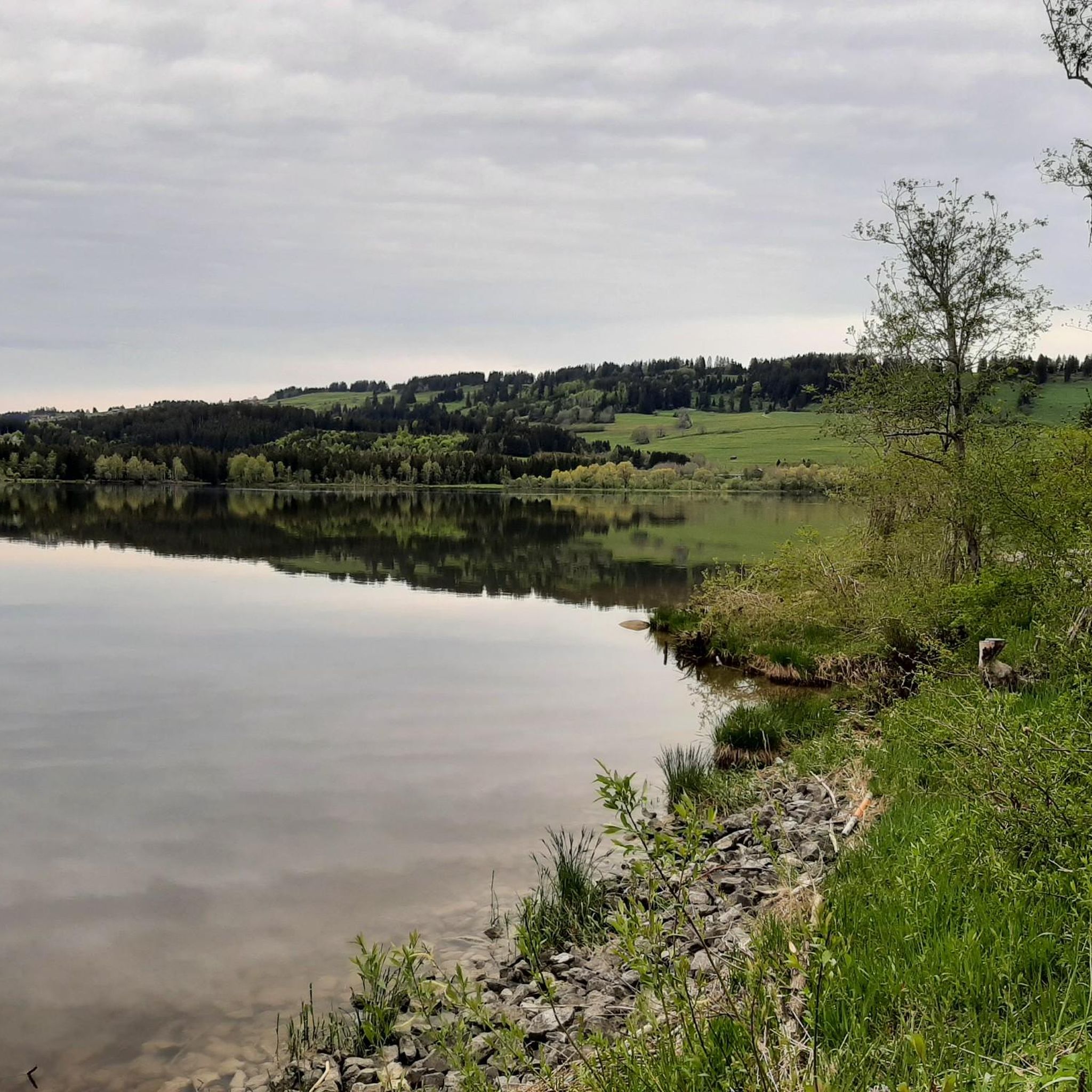
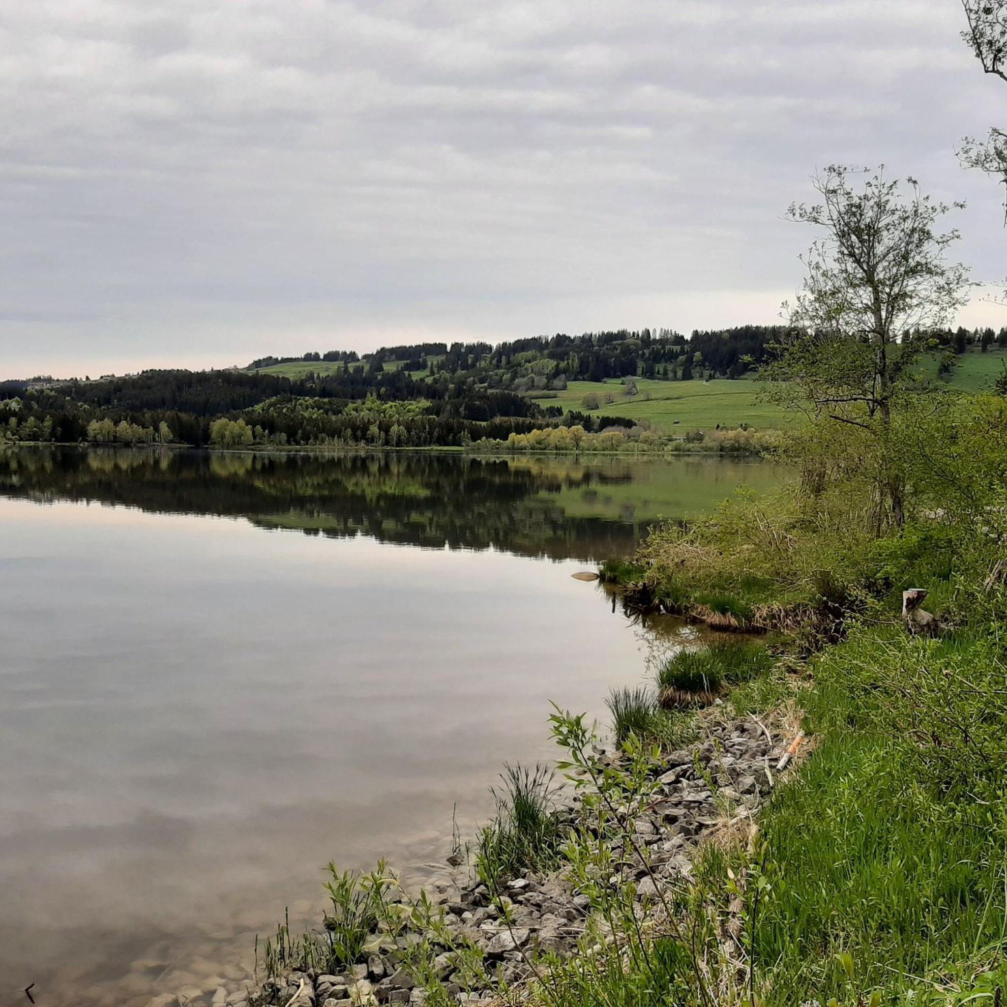
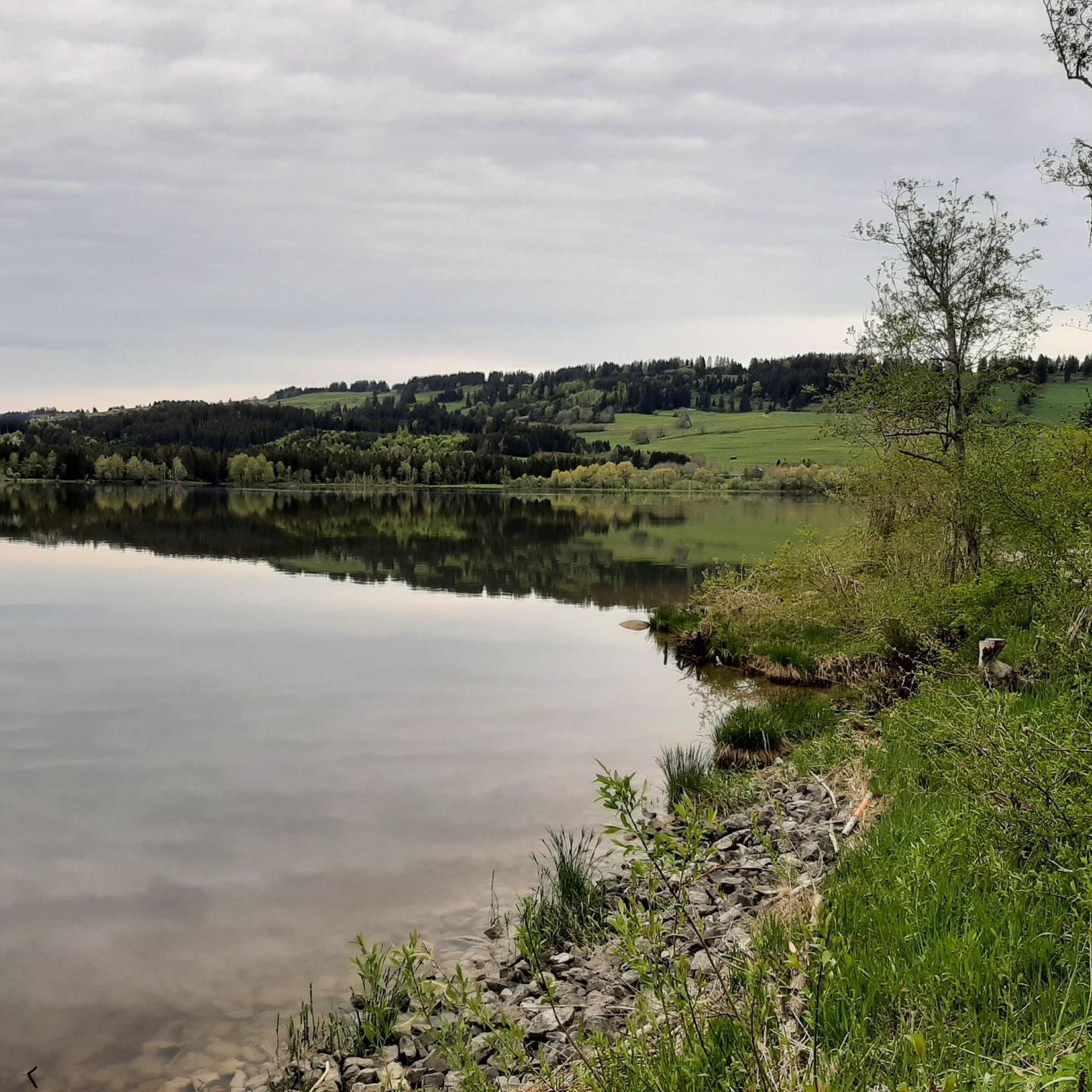
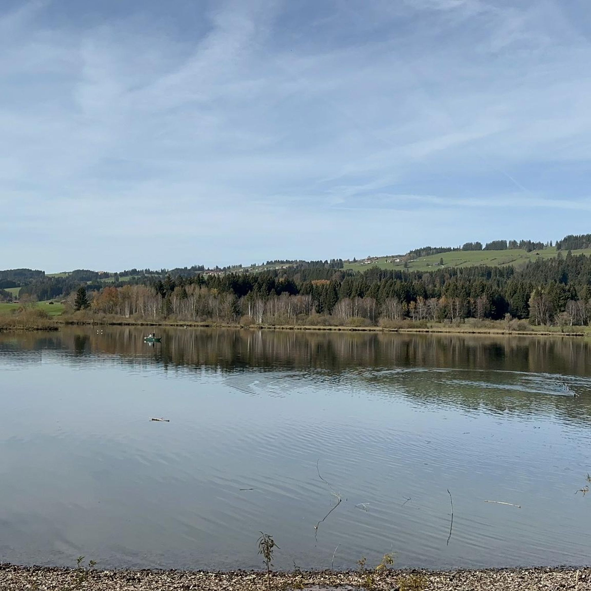

Tips from the Community

a beautiful place in the middle of the Allgäu Alps
0
0

Great view, beautiful panorama
0
0

Great view of the lake
1
0

Very nice descent, but cyclists should be especially careful at the cow grids, as they can be slippery
0
0


Great asphalt and super fast descent from the Riedbergpass
0
0


The most beautiful descent in the Allgäu region! I love it so much! Be careful in summer/autumn, as it's also a pasture and there are often cows on the road.
0
0
Frequently Asked Questions
How many road cycling routes are available around Grüntensee?
The Grüntensee region offers over 80 road cycling routes, catering to various skill levels. These routes navigate the alpine foothills of Oberallgäu, providing diverse riding experiences.
Are there easy road cycling routes suitable for beginners around Grüntensee?
Yes, there are 15 easy road cycling routes around Grüntensee. These routes are generally characterized by lakeside paths and rolling terrain, suitable for those new to road cycling or looking for a more relaxed ride.
What are some challenging road cycling routes for experienced riders in the Grüntensee area?
For experienced riders seeking a challenge, there are 13 difficult routes. One notable option is the View of the Großer Alpsee – Großer Alpsee loop from Wertach-Haslach, which covers 137.5 km with over 2000 meters of elevation gain. Another demanding route is the View of the Tyrolean Mountains – Unterjoch loop from Wertach-Haslach, spanning 85 km with over 900 meters of ascent.
Are there any family-friendly road cycling options near Grüntensee?
While dedicated family-friendly road cycling routes are not specifically highlighted, the 15 easy routes available around Grüntensee often feature less challenging terrain and may be suitable for families with older children or those comfortable with longer distances on paved roads. These routes typically offer scenic views without significant climbs.
What kind of views can I expect on road cycling routes around Grüntensee?
Road cycling routes around Grüntensee offer varied scenery, including views of the Grüntensee itself, the Rottachsee Dam, and distant vistas of the Tyrolean Mountains. You'll pass through forested sections and open areas, providing a dynamic backdrop for your ride.
Are there any loop routes for road cycling around Grüntensee?
Yes, many routes are designed as loops. For example, the popular View of Grünten – Rottachsee Dam and Lake View loop from Wertach-Haslach is a 41.5 km loop offering views of the Grünten and Rottachsee Dam. Another option is the View of the Tyrolean Mountains – Leuterschach Train Station loop from Wertach-Haslach, a 54.8 km loop with mountain views.
What do other road cyclists say about the routes in Grüntensee?
The road cycling routes in Grüntensee are highly rated by the komoot community, with an average score of 4.6 stars from over 390 reviews. More than 8,500 road cyclists have explored the varied terrain, often praising the scenic lakeside paths and rolling hills.
What interesting sights can I see along the road cycling routes near Grüntensee?
Along your road cycling routes, you can explore several points of interest. Highlights include the Grüntensee Bathing Area, the impressive Grüntensee Dam, and the scenic View of the Grünten from the shore of Lake Grüntensee. There's also a Fish educational trail at Grüntensee for a brief stop.
When is the best time of year for road cycling around Grüntensee?
The best time for road cycling around Grüntensee is typically from spring through autumn, when the weather is mild and the roads are clear of snow and ice. Summer offers the warmest temperatures, while spring and autumn provide pleasant conditions with fewer crowds and vibrant scenery.
Are there any cafes or places to stop for refreshments near the Grüntensee road cycling trails?
While specific cafes are not listed in the route data, the Grüntensee area is a popular tourist destination. You can expect to find various eateries and cafes in the towns and villages surrounding the lake, such as Wertach-Haslach, which often serve as starting points or pass-through locations for many routes.
What are the typical distances for road cycling routes around Grüntensee?
The distances for road cycling routes around Grüntensee vary significantly. You can find shorter routes, such as the 32.7 km View of Rottachsee – Rottachsee Dam and Lake View loop from Wertach-Haslach, up to much longer and more challenging options like the 137.5 km View of the Großer Alpsee – Großer Alpsee loop from Wertach-Haslach.
What is the general topography of road cycling routes in the Grüntensee region?
The Grüntensee region features a topography of alpine foothills, offering a mix of lakeside paths and rolling terrain. Cyclists can expect moderate elevation changes, making it suitable for different fitness levels, with some routes extending into more challenging hilly sections towards the Tyrolean Mountains.
Most popular routes around Grüntensee
Most popular attractions around Grüntensee

Get inspired with the komoot mobile app


Explore more
Browse the best Road cycling routes in other regions.
