The best cycling routes around Großer Neubäuer Weiher
4.4
(1862)
8,287
riders
265
rides
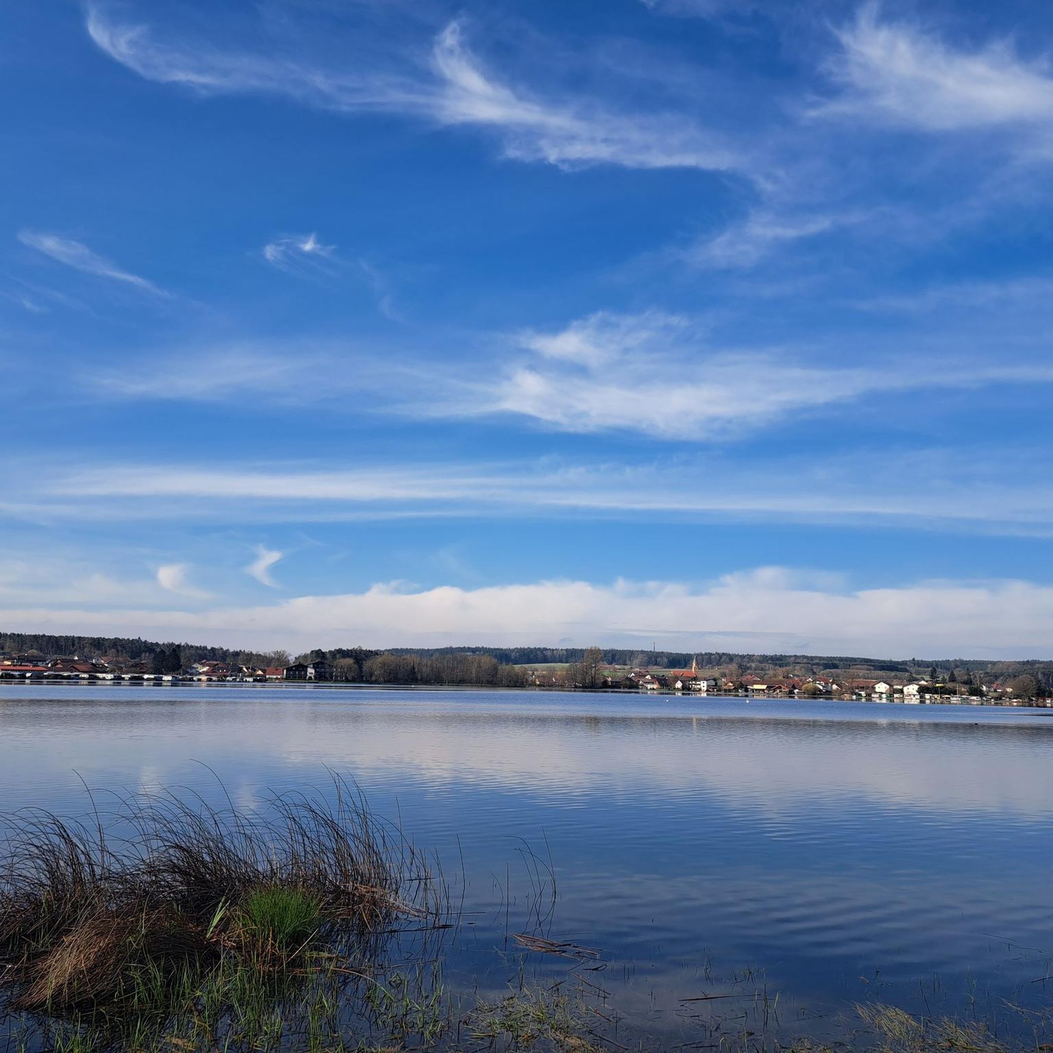
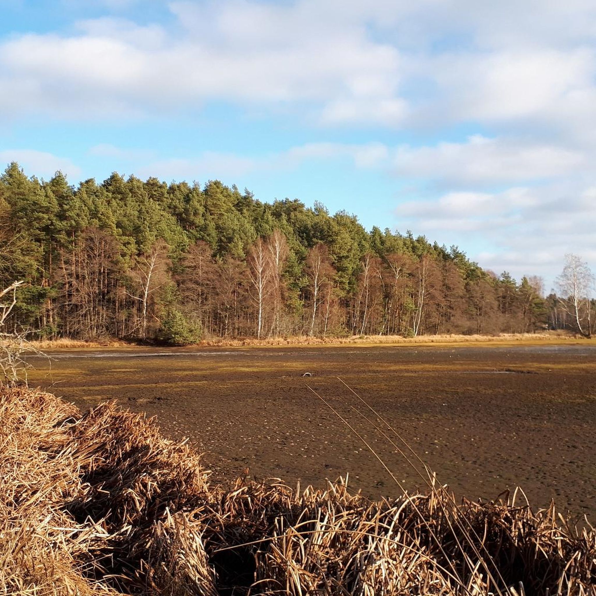
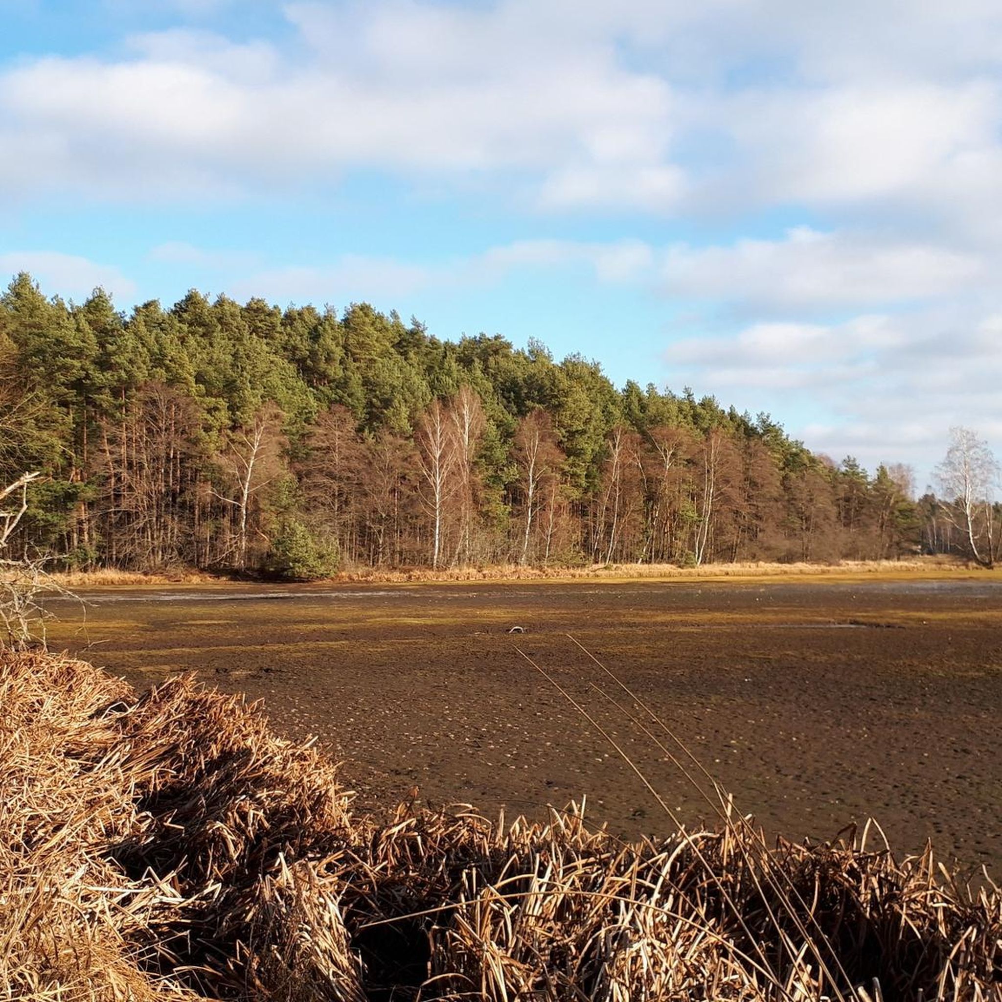
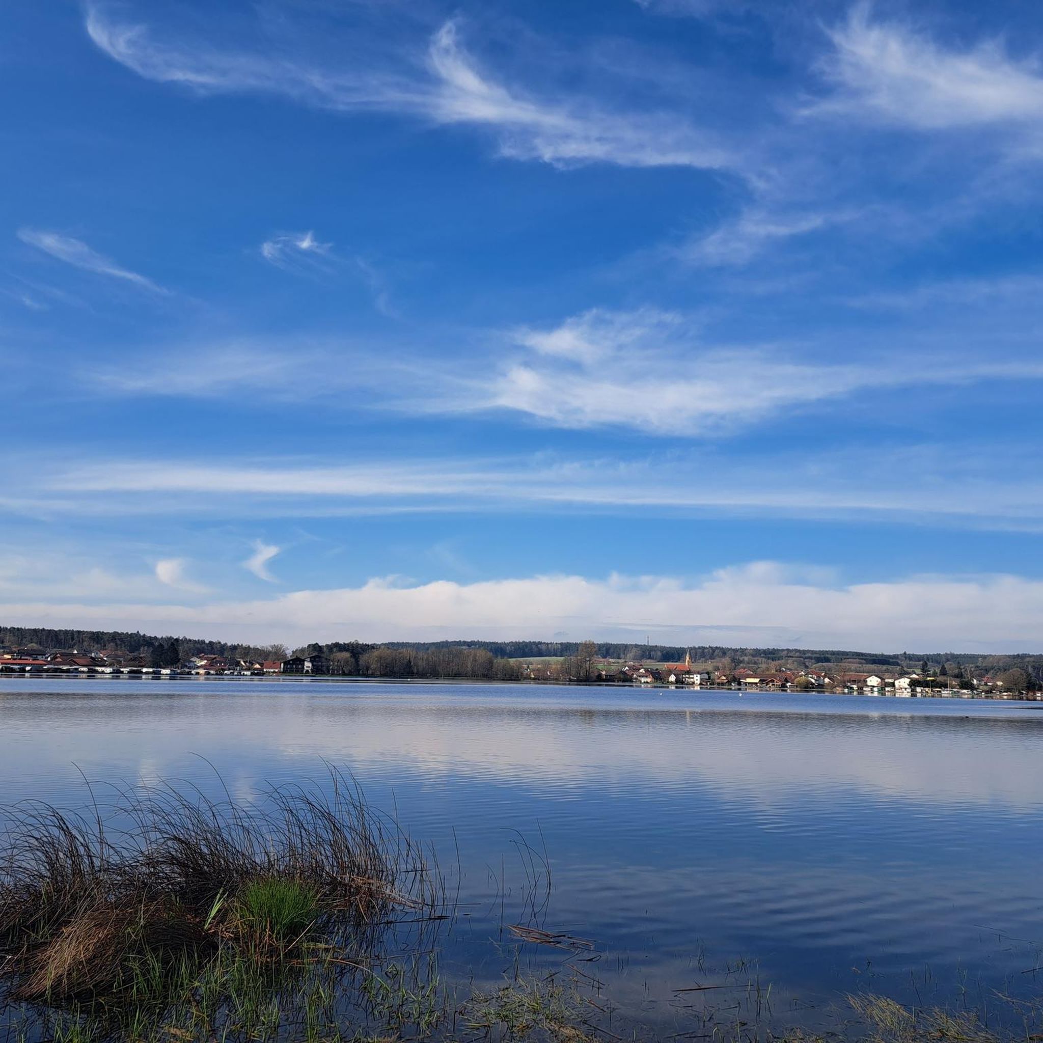
Touring cycling around Großer Neubäuer Weiher features routes through a unique nutrient-poor lake ecosystem, surrounded by green forests and rolling hills typical of the Upper Palatinate. The area includes a designated nature reserve with diverse habitats, including marshlands and bog pine forests. River courses and connections to regional cycle paths, such as the Regental Cycle Route, offer varied terrain for cyclists.
Best touring cycling routes around Großer Neubäuer Weiher
- The most popular touring cycling route is Regen River Bridge in…
Last updated: July 5, 2026
4.5
(52)
209
riders
Easy bike ride. Great for any fitness level. Mostly paved surfaces. Suitable for all skill levels.
4.8
(62)
283
riders
Hard bike ride. Very good fitness required. Mostly paved surfaces. Suitable for all skill levels.

Sign up for free
4.6
(22)
113
riders
4.84km
00:22
20m
20m
Easy bike ride. Great for any fitness level. Mostly paved surfaces. Suitable for all skill levels.
4.6
(25)
111
riders
4.72km
00:21
20m
20m
Easy bike ride. Great for any fitness level. Mostly paved surfaces. Suitable for all skill levels.
4.2
(25)
81
riders
24.9km
01:40
170m
170m
Moderate bike ride. Good fitness required. Mostly paved surfaces. Suitable for all skill levels.
Get access to more routes and recommendations from other explorers.
Sign up for free
Already have an account?
Our route recommendations are based on thousands of hikes, rides, and runs completed by other people on komoot.
Start today with a free account
Your next adventure awaits.
Login or Signup

Tips from the Community

Wetterfeld Castle Ruins As early as 1118, Gottfried von Wetterfeld appears as an influential ministerialis (unfree knight) of the Diepoldings, the powerful Margraves of Cham and Vohburg. He seems to have maintained good relations with many monasteries, especially Reichenbach Abbey—no wonder, since Abbot Reginboto was his brother. Numerous donations to various monasteries by Gottfried are documented, a widespread practice among knights to secure their salvation. In a donation from 1155, Heinrich is even mentioned as an imperial ministerialis, which demonstrates the family's rapid political rise. In 1179, Karl and Heinrich "de Weterinfeld" appear, after which the family disappears from the historical record. It is not until 1268 that we hear of a Deinhardus, who is now subject to the Bavarian dukes; perhaps they lost their independence with the inheritance of the Hohenstaufen dynasty. From 1283 onward, the Wittelsbachs sent judges to Wetterfeld. Ducal ministeriales from the surrounding area succeeded in office: Hauzendorfer, Katzdorfer, Zenger, and others. In 1322, it was pledged to the Chamerau family. In 1329, Wetterfeld came under the control of the Palatine line of the Wittelsbachs, who also appointed judges. In 1410, it passed to the sub-principality of Neumarkt-Neunburg, with the Degenberger, Nothaft, and Zenger families, among others, serving as administrators. During the Hussite raids of 1428 and 1433, the castle was destroyed and subsequently rebuilt. A unique feature of Wetterfeld is the four "castle guards"—four legally independent building complexes within the castle, which were granted separately—making the ownership situation quite complex. In 1621, during the Thirty Years' War, the Upper Palatinate, including Wetterfeld, came under the rule of Duke Maximilian of Bavaria. Later in the war, Wetterfeld was destroyed twice by the Swedes and subsequently rebuilt. But the castle and its buildings continued to deteriorate, and the administrators increasingly relocated their offices outside the castle. In 1812, the administrative office was moved to Roding, the castle grounds were subdivided, and private houses were built over. Wetterfeld is a moated castle—a branch of the Regen River bordered the complex to the northeast. The still clearly visible, deep, walled moat could be filled with sluice gates in case of attack. Essentially, only the large gate tower, built of rubble stone with corner quoins, remains. Its upper, habitable floors make it a variation of the late medieval residential tower. Source: www.burgenseite.de
1
0

Location as already described.
0
0
Location as already described.
0
0


Beautiful Regental
0
0

A romantic bike path along the Regen River near Roding. Highly recommended.
0
0

unique landscape along the banks of the Regen
0
0

Frequently Asked Questions
How many touring cycling routes are available around Großer Neubäuer Weiher?
There are over 270 touring cycling routes to explore around Großer Neubäuer Weiher. These routes cater to various skill levels, with a significant number of easy and moderate options available.
What kind of terrain can I expect on touring cycling routes in this region?
The routes around Großer Neubäuer Weiher feature diverse terrain, including paths through green forests, rolling hills, and idyllic river courses typical of the Upper Palatinate and Bavarian Forest region. Many routes also utilize disused railway tracks, offering well-developed and mostly paved surfaces.
Are there any easy touring cycling routes suitable for beginners or families?
Yes, there are many easy routes. For instance, the 4-kilometer circular path around Großer Neubäuer Weiher itself is ideal for leisurely cycling and provides continuous views of the lake. An example of an easy route is the Boardwalk at Neubäuer See – Neubäu Lakeside Beach loop from Neubäu am See, which is 4.8 km long.
What are some notable natural features or wildlife I might encounter while cycling?
Großer Neubäuer Weiher is a nutrient-poor lake, a rare ecosystem in Bavaria, with a significant portion designated as a nature reserve. You might observe unique flora like water milfoil and the rare Strandling, as well as various water birds such as the great crested grebe and common goldeneye. Keep an eye out for frogs, including the rare moor frog, especially during mating season.
Are there any longer touring cycling routes that connect to regional paths?
Yes, the area offers connections to longer-distance cycle paths. The Regen River Bridge in Roding – Boardwalk at Neubäuer See loop from Neubäu am See, for example, connects the lake with the Regen River. The region also links to the Regental Cycle Route, which follows the Regen River for approximately 175 kilometers, partly on disused railway tracks.
What do other touring cyclists say about the routes around Großer Neubäuer Weiher?
The routes in Großer Neubäuer Weiher are highly rated by the komoot community, with an average score of 4.4 stars from over 1600 reviews. More than 7600 touring cyclists have used komoot to explore the varied terrain, often praising the scenic views and well-maintained paths.
Are there any specific viewpoints or attractions along the cycling routes?
Yes, there are several points of interest. You can visit the Observation Tower at Neubäuer Pond or the Boardwalk at Neubäuer See for excellent views of the lake and its nature reserve. There's also a Birdwatching Platform at Naturpark Oberer Bayerischer Wald.
Are there any facilities or places to stop for refreshments near the routes?
The area around Großer Neubäuer Weiher offers amenities for visitors. You can find an imbiss (snack bar) for refreshments. For a more substantial stop, consider the Seewirt at the Lake Camping Park Neubau. There's also an E-Bike Charging Station at Seepark Neubäu.
Can I find circular touring cycling routes in the area?
Many routes around Großer Neubäuer Weiher are designed as loops, allowing you to start and end at the same point. The 4-kilometer path around the lake is a perfect example. Other options include the moderate Neubäu Lakeside Beach – Boardwalk at Neubäuer See loop from Neubäu, which covers 28.5 km.
What is the best season for touring cycling around Großer Neubäuer Weiher?
The warmer months are generally ideal for touring cycling around Großer Neubäuer Weiher, allowing you to fully enjoy the lake's recreational offerings like swimming and pedal boating, in addition to the cycling routes. The natural beauty of the forests and meadows is particularly vibrant during spring and summer.
Are there any moderate difficulty touring cycling routes for more experienced riders?
Yes, there are 146 moderate routes available. An example is the Regen River Bridge in Roding – Wetterfeld Castle Ruins loop from Neubäu, which is 24.5 km long and offers a good challenge with varied scenery.
Is there parking available for cyclists near the Großer Neubäuer Weiher routes?
While specific parking locations aren't detailed, the presence of a Seepark with various facilities and the popularity of the area for outdoor activities suggest that parking options for visitors, including cyclists, are generally available near the lake and trailheads.
Most popular routes around Großer Neubäuer Weiher
Most popular attractions around Großer Neubäuer Weiher

Get inspired with the komoot mobile app


Explore more
Browse the best Cycling routes in other regions.
