The best mountain hikes around Mittersee
4.7
(734)
6,785
hikers
113
hikes
Mountaineering routes around Mittersee are characterized by a high-alpine landscape featuring rugged peaks, mountain lakes, and significant elevation gains. The region offers challenging terrain, including limestone climbs and demanding ascents. These routes often traverse exposed areas and require sure-footedness and alpine experience. The Mittersee area provides a setting for serious mountaineering endeavors.
Best mountaineering routes around Mittersee
- The most popular mountaineering route is Hörndlwand summit – Gurnwandkopf loop from Weitsee, a 6.5 miles (10.4 km) trail that takes 5…
Last updated: August 28, 2026
4.8
(6)
68
hikers
10.4km
05:33
900m
900m
Hard mountaineering route. Very good fitness required. Sure-footedness, sturdy shoes and alpine experience required.
4.5
(4)
30
hikers
Hard mountaineering route. Very good fitness required. Sure-footedness, sturdy shoes and alpine experience required.

Sign up for free
5.0
(7)
43
hikers
10.9km
05:34
880m
880m
Hard mountaineering route. Very good fitness required. Sure-footedness, sturdy shoes and alpine experience required.
5.0
(6)
46
hikers
Hard mountaineering route. Very good fitness required. Sure-footedness, sturdy shoes and alpine experience required.
5.0
(4)
48
hikers
Hard mountaineering route. Good fitness required. Sure-footedness, sturdy shoes and alpine experience required.
Get access to more routes and recommendations from other explorers.
Sign up for free
Already have an account?
Our route recommendations are based on thousands of hikes, rides, and runs completed by other people on komoot.
Start today with a free account
Your next adventure awaits.
Login or Signup
Tips from the Community

Even from afar, the rock tooth of the Hörndlwand can be recognized between Ruhpolding and Reit im Winkl. Besides the Kampenwand, it is probably one of the most rugged in the Chiemgau Alps. To the north, the summit drops off for around two hundred meters – a paradise for climbers. The plateau of the summit area at 1,684 meters bears three crosses. The ascent requires sure-footedness and a head for heights.
1
0
At 1,691 meters, the Gurnwandkopf towers over its famous neighbor, the Hörndlwand, by a whole seven meters. Both form a rock massif about two and a half kilometers long between Ruhpolding and Reit im Winkl. The summit cross has always been missing its crossbeam.
1
0

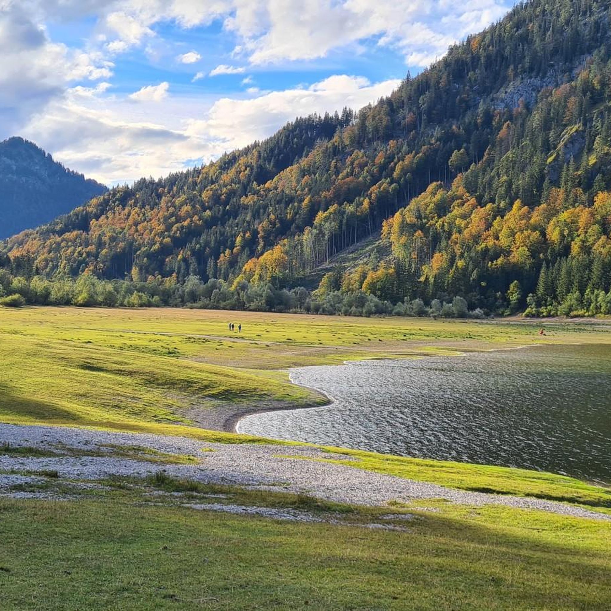
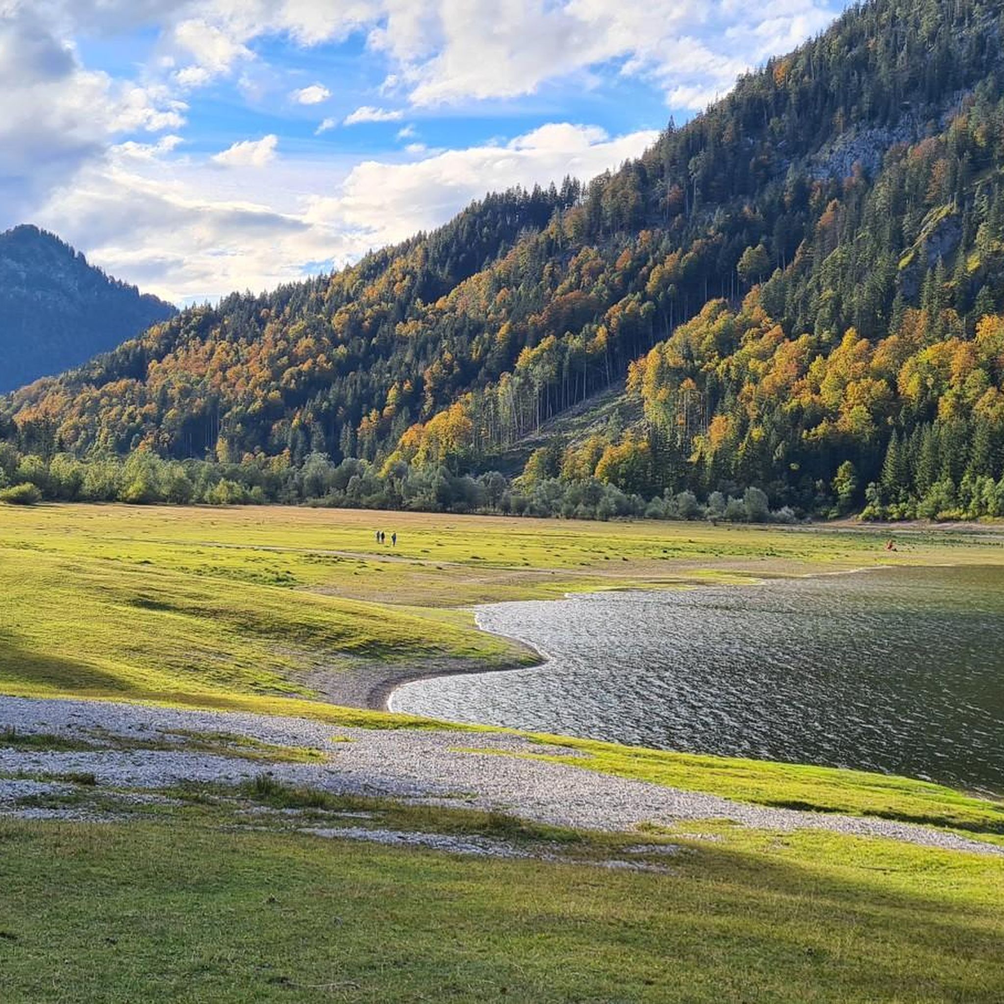
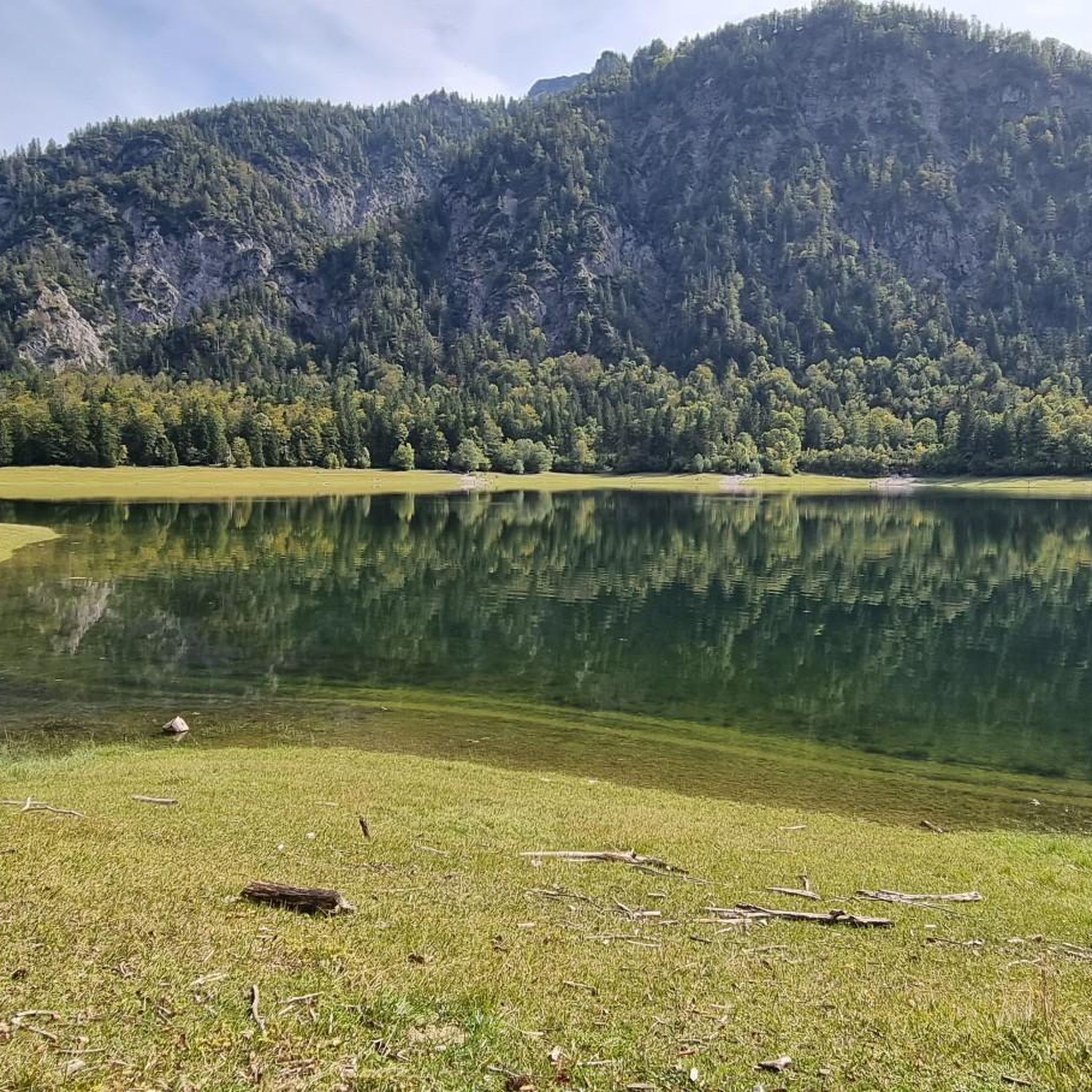
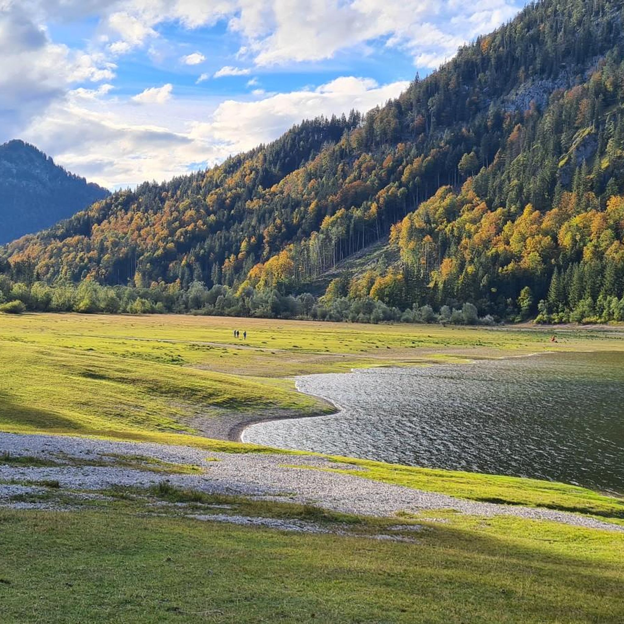
A magnificent view of the surrounding mountains and of the Lösen-, Mitterer- and Weitsee
0
0
This information board provides a good overview of the area around the Weitsee.
0
0
The trail is now clearly visible thanks to the many hikers, marked with dots and stone staves. The trail has been rediscovered.
0
0
The parking lot is behind the avalanche barrier. Parking is prohibited from November 1 to March 31 due to avalanches.
0
0

A beautiful summit cross with a wonderful view
2
0

The ridge runs along the German-Austrian border and offers fantastic views on both sides.
0
0
Frequently Asked Questions
What level of experience is required for mountaineering routes around Mittersee?
The mountaineering routes around Mittersee are primarily designed for experienced mountaineers. They feature challenging terrain, including significant elevation gains and demanding ascents, often traversing exposed areas. Sure-footedness, sturdy shoes, and alpine experience are essential for these routes.
How long do mountaineering routes in Mittersee typically take to complete?
The duration of mountaineering routes in Mittersee varies depending on the specific trail and your pace. For example, the Hörndlwand summit – Gurnwandkopf loop from Weitsee typically takes around 5 hours and 33 minutes, while the longer Dürrnbachhorn Summit – Dürnbachhorn Ridge Trail loop from Wald-Wild-Schongebiet Seehauser Hoch-Kienberg can take approximately 7 hours and 30 minutes.
What natural features or landmarks can I expect to see on mountaineering routes near Mittersee?
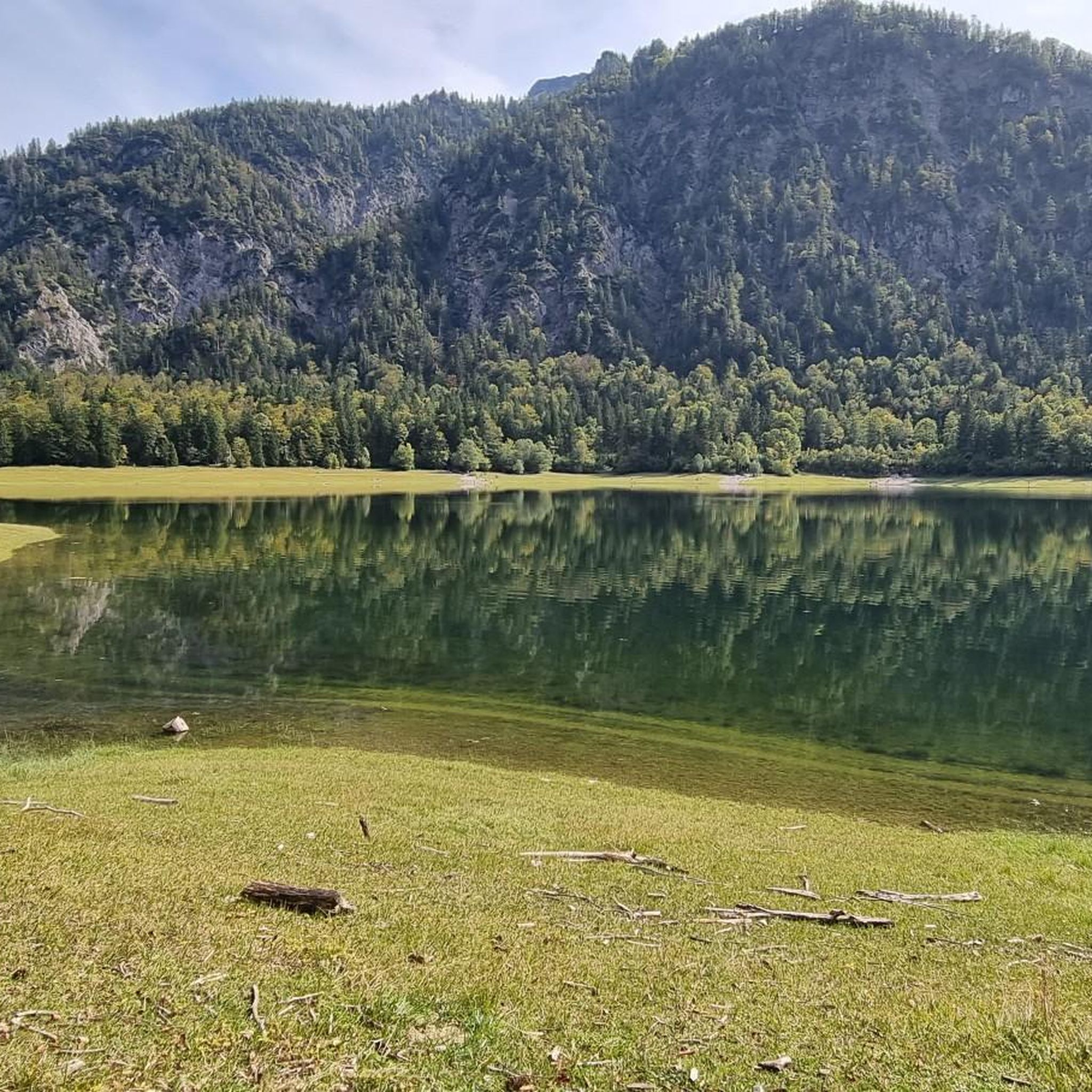
Mountaineering routes around Mittersee offer stunning high-alpine landscapes, rugged peaks, and beautiful mountain lakes. You can explore areas like the Mittersee itself, often described as a beautiful mountain lake lined with cotton grass. Some routes might also lead you past features like the Trail Along Lödensee and Mittersee or the Wooden bridge over the Ache at Mittersee.
Are there any circular mountaineering routes in the Mittersee area?
Yes, several mountaineering routes in the Mittersee area are circular. Notable examples include the Hörndlwand summit – Gurnwandkopf loop from Weitsee, the Dürrnbachhorn Summit – Dürnbachhorn Ridge Trail loop from Wald-Wild-Schongebiet Seehauser Hoch-Kienberg, and the Hochkienbergalm – Gurnwandkopf loop from Weitsee. These loops offer varied terrain and return to the starting point.
What do other mountaineers enjoy most about the Mittersee region?
The Mittersee area is highly rated by the komoot community, with an average score of 4.7 stars from over 600 reviews. Mountaineers often praise the challenging high-alpine landscapes, the demanding ascents, and the rewarding views from summits like those found on the Hörndlwand summit – Gurnwandkopf loop from Wald-Wild-Schongebiet Seehauser Hoch-Kienberg.
Are there any waterfalls to see on mountaineering routes near Mittersee?
While the primary mountaineering routes in the high-alpine Mittersee region (Carinthia) are known for rugged peaks and mountain lakes, other Mittersee locations, such as the one in Lower Austria near Lunz am See, are famous for impressive waterfalls like the 60-meter-high Ludwigfall. If you're specifically looking for waterfalls, you might consider exploring that area, which is more geared towards hiking.
Is the Mittersee area suitable for family-friendly mountaineering or routes with dogs?
The mountaineering routes specifically highlighted for the Mittersee region are generally demanding and require significant alpine experience, making them less suitable for young children or dogs. However, other Mittersee locations, such as those near Biberwier or in Ruhpolding, offer more general hiking and family-friendly activities with well-developed paths. Always check specific route details for suitability before heading out with family or pets.
What is the best time of year for mountaineering in Mittersee?
The best time for mountaineering in the Mittersee region is typically during the warmer months, from late spring to early autumn, when trails are free of snow and ice. Always check local weather conditions and forecasts before your trip, as high-alpine weather can change rapidly. Winter mountaineering would require specialized equipment and expertise due to snow and ice conditions.
Are there any permits required for mountaineering in the Mittersee area?
The provided information does not indicate specific permits required for general mountaineering routes in the Mittersee area. However, it's always advisable to check with local authorities or mountain clubs for the latest regulations, especially if you plan to access protected areas or specific climbing walls like the Mittersee Wand in Allgäu.
Where can I find parking for mountaineering trails around Mittersee?
Parking availability can vary by trailhead. For routes like the Langer Sand Riverbed – Hochbrunstkopf Summit loop from Wald-Wild-Schongebiet Seehauser Hoch-Kienberg, you would typically look for parking near the starting points mentioned, such as 'Wald-Wild-Schongebiet Seehauser Hoch-Kienberg' or 'Weitsee'. It's recommended to research specific trailhead parking options before your visit.
Are there any cafes or accommodation options near the mountaineering routes in Mittersee?
The high-alpine Mittersee region, particularly the one in Carinthia, is quite remote, focusing on serious mountaineering. While specific cafes directly on the routes are unlikely, you might find accommodation or refreshment options in nearby villages or mountain huts. For example, the 'Adolf Nossberger Hütte' is mentioned in relation to a Mittersee route in Carinthia, suggesting hut-to-hut options. For more amenities, you might need to venture to larger towns surrounding the broader Mittersee areas.
Most popular routes around Mittersee
Most popular attractions around Mittersee

Get inspired with the komoot mobile app


Explore more
Browse the best Mountain Hikes & Routes in other regions.
