The best walks and hikes around Sunny Isles Beach
4.8
(35)
1,273
hikers
54
hikes
Hiking around Sunny Isles Beach explores the coastal environment of this South Florida barrier island. The area is characterized by flat, paved urban paths, boardwalks, and access to nearby parks with mangrove forests. Most routes are suitable for all fitness levels, focusing on waterfront views rather than significant elevation gain. The region offers a blend of coastal paths, urban parks, and access to natural preserves like Oleta River State Park.
Best hiking trails around Sunny Isles Beach
- The most popular hiking route is Haulover Beach loop from Sunny Isles Beach, a 5.5 miles (8.8 km) trail that takes around 2 hours to complete. This route follows the coastline and offers views of the Atlantic Ocean and the Intracoastal Waterway.
- Another top favourite among local hikers is Sunny Isles Beach loop from Oleta River State Park, a moderate 5.0 miles (8.1 km) path. This trail winds through coastal areas and offers views of Biscayne Bay.
- Local hikers also love the Sunny Isles Beach loop from Sunny Isles Beach, a 3.3 miles (5.4 km) trail leading through urban and coastal environments, often completed in about 1 hour 20 minutes.
- Hiking around Sunny Isles Beach is defined by coastal hiking trails, paved boardwalks, and paths through urban parks. The network of routes provides options for different ability levels, with most being easy to moderate.
- The routes in Sunny Isles Beach are highly rated by the komoot community with an average score of 4.8 stars from over 30 reviews. More than 1,100 hikers have used komoot to explore Sunny Isles Beach's varied terrain.
Last updated: July 2, 2026
5.0
(1)
23
hikers
8.87km
02:15
20m
20m
Moderate hike. Good fitness required. Easily-accessible paths. Suitable for all skill levels.
11
hikers
8.01km
02:01
10m
10m
The Sunny Isles Beach loop from Oleta River State Park is a delightful moderate hiking trail that immerses you in South Florida's unique coastal environment. As you walk, you'll experience a blend of paved paths, boardwalks, and natural trails winding through lush mangrove forests, which make up nearly half of the park. Expect continuous, stunning waterfront views of Biscayne Bay, the Atlantic Ocean, and the Intracoastal Waterway, often with the distant city skyline creating a striking contrast between nature and urban life.
This 5.0-mile (8.0 km) route, with a gentle 34 feet (10 metres) of elevation gain, typically takes about 2 hours and 1 minutes to complete. While the park offers various activities, this specific loop is noted for requiring good fitness, making it a solid choice for those seeking a substantial walk without extreme challenges. Plan to arrive early, especially on busy days, as Oleta River State Park is a popular destination, and remember to bring ample water, particularly during warmer periods.
Oleta River State Park holds the distinction of being Florida's largest urban park, protecting the last natural river flowing into Biscayne Bay. Its extensive mangrove swamps are vital habitats for juvenile fish and migratory birds, playing a crucial role in the local ecosystem. Beyond hiking, the park is a hub for outdoor enthusiasts, offering kayaking, paddleboarding, and mountain biking, making it a versatile natural escape within the bustling Miami-Dade County.

Sign up for free
9
hikers
5.35km
01:21
10m
10m
The Sunny Isles Beach loop offers a refreshing blend of urban charm and coastal scenery, perfect for a relaxed outing. You'll stroll along flat, paved paths and boardwalks, enjoying diverse views of the Atlantic Ocean and the tranquil Intracoastal Waterway. Keep an eye out for the parks with their distinctive mangrove forests, which add a touch of natural beauty to this accessible 3.3-mile (5.4 km) route.
This easy hiking trail is ideal for all fitness levels, requiring minimal effort with only 23 feet (7 metres) of elevation gain. It typically takes about 1 hour and 20 minutes to complete, making it a great option for a quick escape. Since it's an urban trail, access is generally straightforward, and you can enjoy it at almost any time of day.
What makes this loop stand out among hiking trails near Sunny Isles Beach FL is its seamless integration of natural coastal beauty with the developed barrier island environment. It's part of a larger network of highly-rated routes in the area, offering a convenient way to experience the region's unique character. If you're looking for easy hiking trails Sunny Isles Beach for beginners or a family-friendly option, this loop delivers a scenic and enjoyable experience.
6
hikers
5.62km
01:25
10m
10m
Easy hike. Great for any fitness level. Easily-accessible paths. Suitable for all skill levels.
6
hikers
7.88km
02:00
20m
20m
Easy hike. Great for any fitness level. Easily-accessible paths. Suitable for all skill levels.
Get access to more routes and recommendations from other explorers.
Sign up for free
Already have an account?
Our route recommendations are based on thousands of hikes, rides, and runs completed by other people on komoot.
Start today with a free account
Your next adventure awaits.
Login or Signup

Tips from the Community

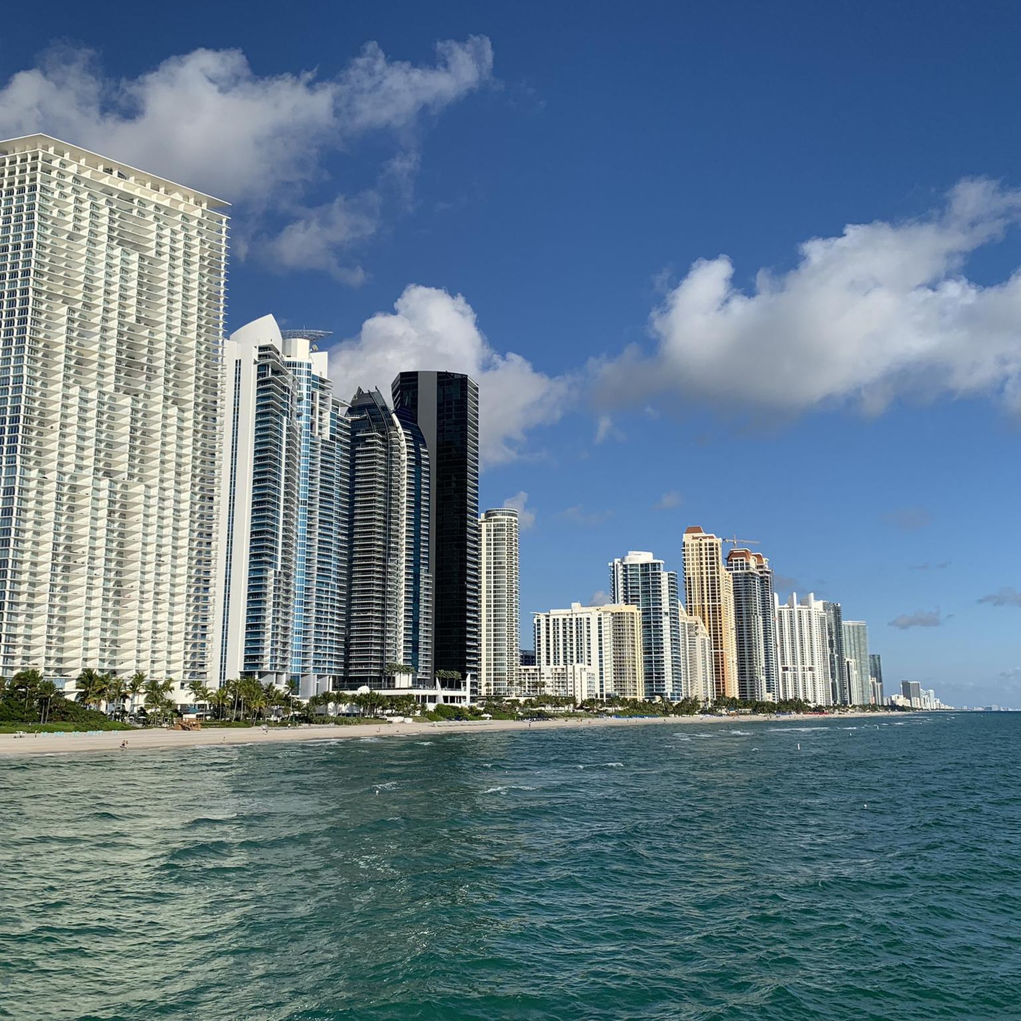
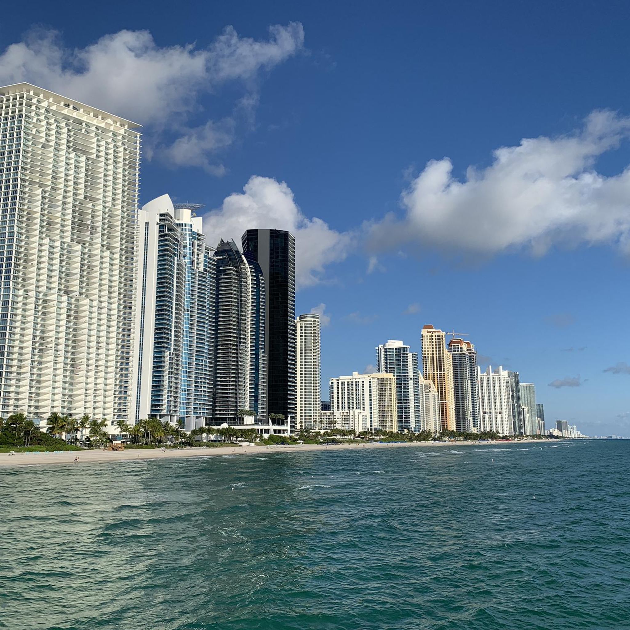
Did you bring plenty of sunblock? This is Miami's oldest official clothing-optional beach, and definitely the most famous; it regularly makes worldwide lists of the best nude beaches.
1
0


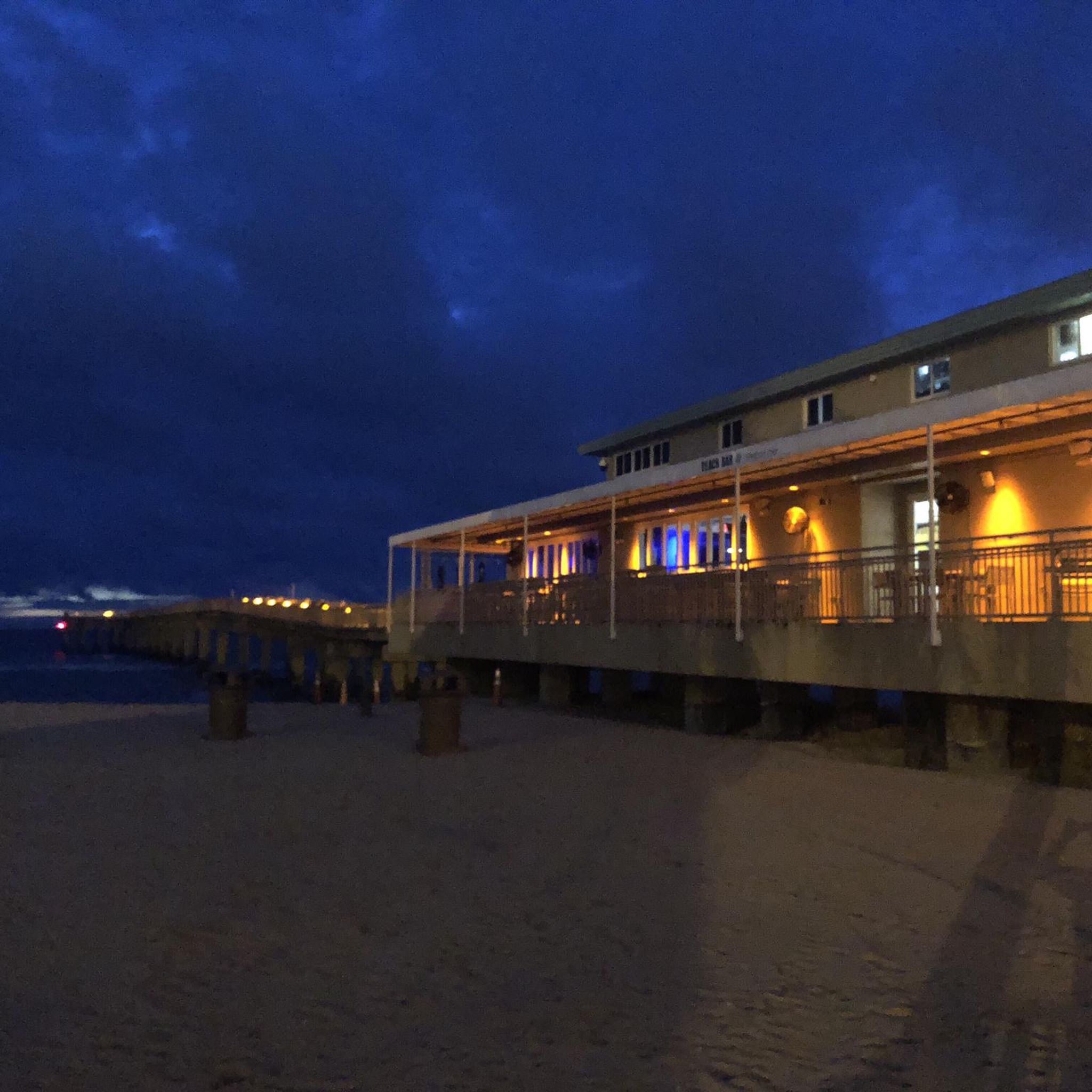
Fishing pier built in the early 1950s
0
0

very taffy shoes to be recommended. 3.5 km are missing on the counter.
1
1
Frequently Asked Questions
Are there any good parks for hiking near Sunny Isles Beach?
Yes, several parks nearby offer excellent hiking. The most notable is Oleta River State Park, Florida's largest urban park, which features miles of trails through lush mangrove forests. Another popular choice is Greynolds Park, known for its easy, well-maintained walking trails suitable for a relaxed day out.
What are the trails like in the Sunny Isles Beach area?
The terrain is mostly flat, making it accessible for all fitness levels. You'll find a mix of paved urban paths, scenic coastal boardwalks, and natural trails within nearby parks. Many routes, like those in Oleta River State Park, wind through mangrove forests and offer views of the Intracoastal Waterway.
Are there any dog-friendly trails near Sunny Isles Beach?
Yes, you can find dog-friendly options. The Don Soffer Exercise Trail is a popular 3.1-mile paved path where on-leash dogs are welcome. Always check the specific regulations for parks like Oleta River State Park before bringing your dog, as rules can vary.
Can I find any easy, paved walking trails?
Absolutely. The area is excellent for paved walks. Besides the beachfront paths, the Don Soffer Exercise Trail in Aventura is a highly-regarded paved loop perfect for strolling or jogging. Many local parks also feature paved or boardwalk sections.
What should I wear for hiking in this area?
Given the warm, humid climate of South Florida, lightweight and breathable clothing is essential. Wear comfortable walking shoes, a hat, and sunglasses for sun protection. It's also wise to bring sunscreen and insect repellent, especially for trails in natural areas like Oleta River State Park.
Are there any long-distance hiking trails?
While the area is known for shorter walks, you can find longer routes. For a challenging coastal hike, consider the Miami Beach Boardwalk – Ocean Terrace Public Beach loop from Surfside. This trail covers over 13 miles (22 km) and provides extensive views along the famous boardwalk.
What do other hikers enjoy most about the trails here?
The trails around Sunny Isles Beach are highly rated by the komoot community. Hikers often praise the beautiful waterfront views, the mix of urban and natural scenery, and the accessibility of the flat, well-maintained paths. The opportunity to see wildlife in the mangrove forests is also a frequently mentioned highlight.
Are there opportunities to combine hiking with kayaking?
Yes, Oleta River State Park is the perfect place for this. You can hike the nature trails and also rent kayaks or paddleboards to explore the calm waterways and mangrove tunnels. Many visitors enjoy making a full day of it by combining both activities.
Where can I find good views while hiking?
For expansive views of the Everglades, the Shark Valley Observation Tower offers a 45-foot-high panoramic perspective, though it's a bit of a drive. For stunning city and water views closer by, the Rickenbacker Trail is a favorite among cyclists and walkers, offering breathtaking vistas of the Miami skyline.
Are there any short, easy loops suitable for a quick walk?
Yes, there are several options for a quick and easy hike. The Haulover Inlet loop from Surfside is a great choice, offering a pleasant walk of just under 2 miles (3.2 km) with lovely water views that can be completed in under an hour.
How many hiking trails are available around Sunny Isles Beach?
There is a great selection of routes to explore. You can find over 40 curated hiking trails in the area, with the majority being easy or moderate, ensuring there are plenty of options for hikers of all abilities.
Is it easy to get to the trails using public transport?
Yes, many trailheads are accessible via public transport. The Miami-Dade Transit system serves the area, with bus routes running along Collins Avenue and connecting to nearby parks and communities. This makes it convenient to reach starting points for coastal walks and parks without a car.
Most popular routes around Sunny Isles Beach
Most popular attractions around Sunny Isles Beach

Get inspired with the komoot mobile app


Explore more
Browse the best Hikes in other regions.
