The best walks and hikes around Wolletzsee
4.7
(3325)
11,066
hikers
355
hikes
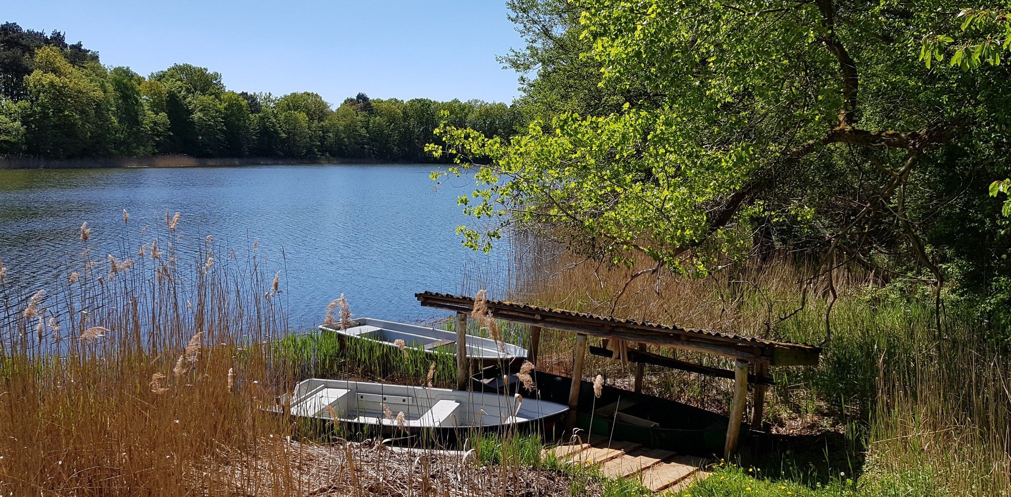
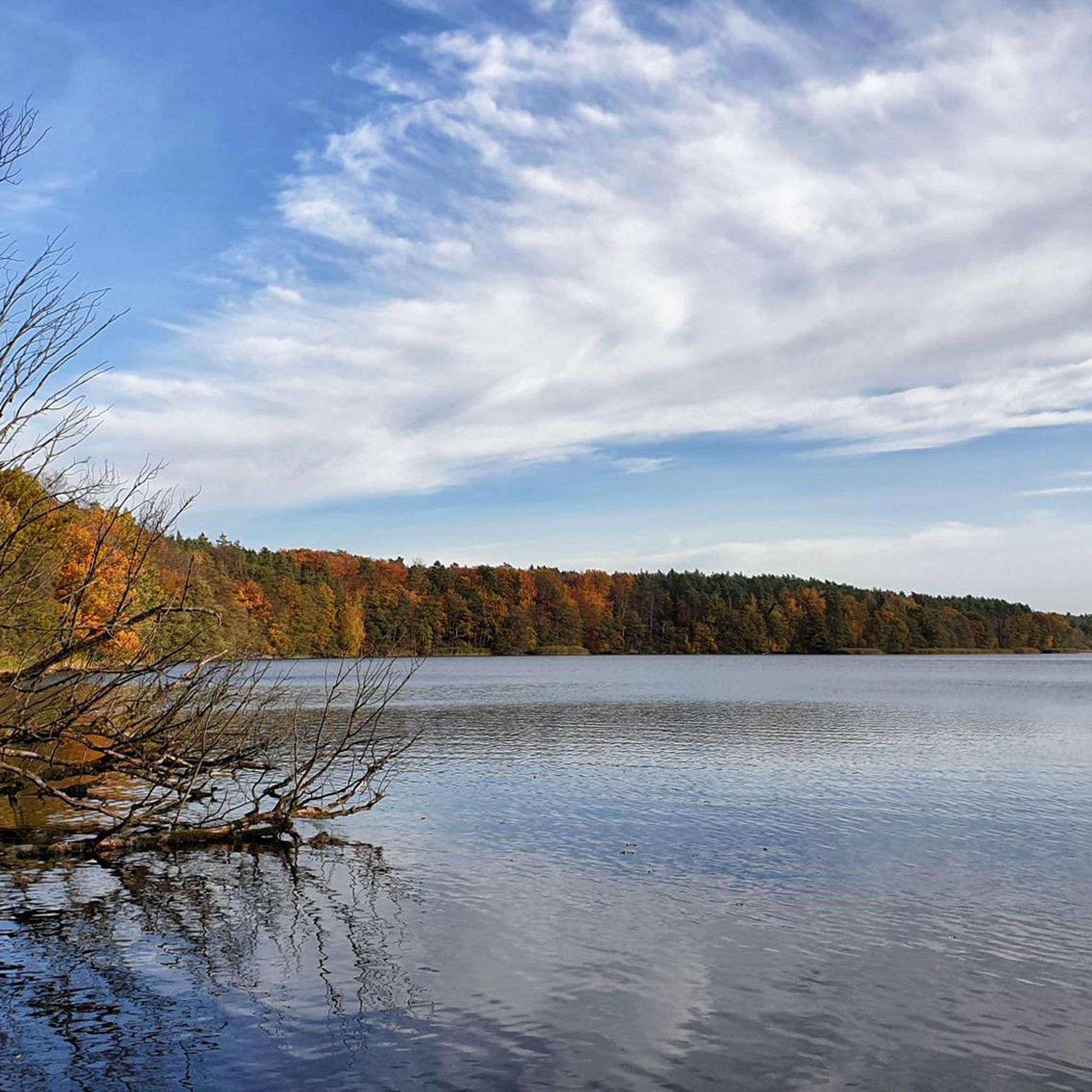
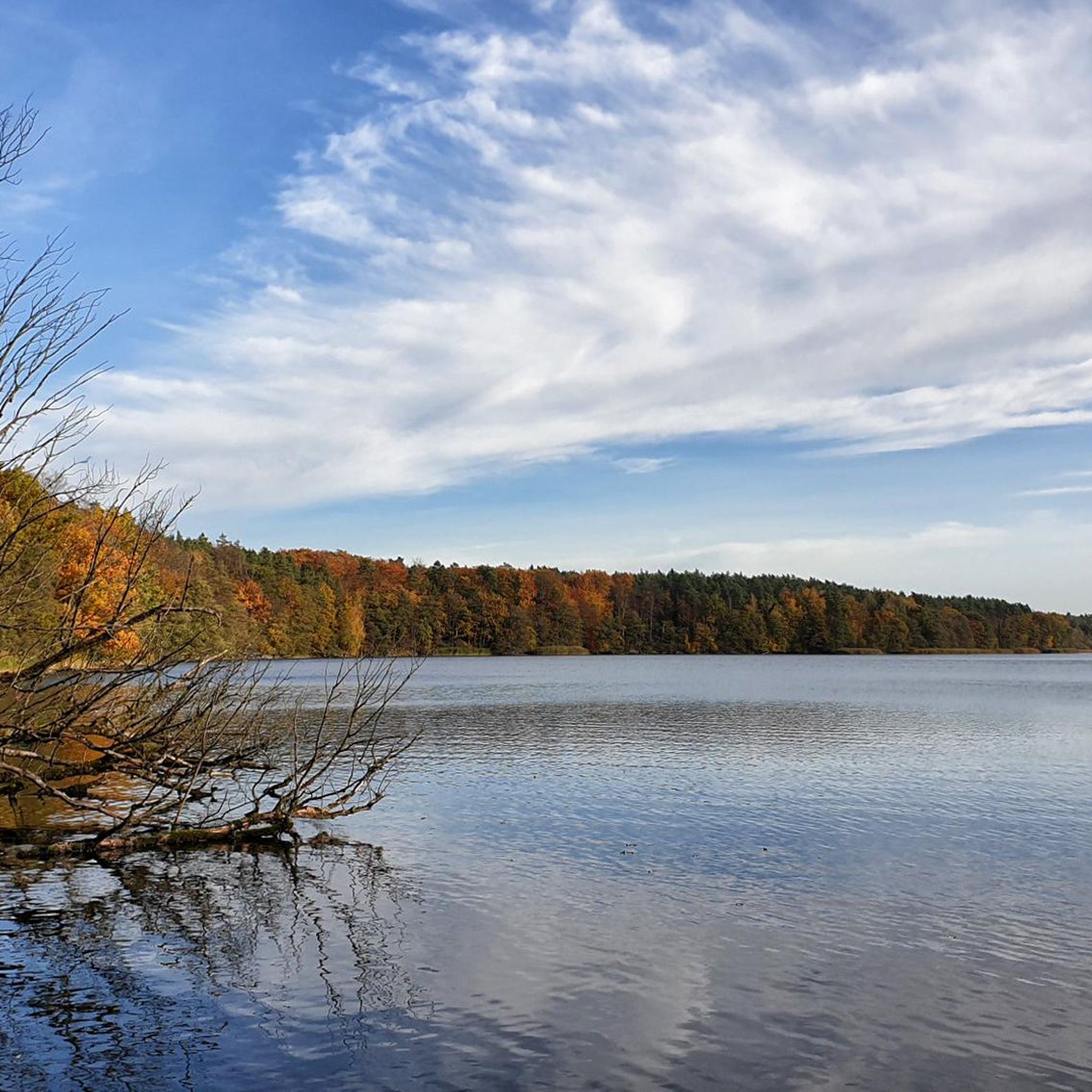
Hiking around Wolletzsee offers diverse landscapes, from hilly and wooded regions to expansive meadows and open field landscapes. The area is characterized by the clear waters of the 7-kilometer-long Wolletzsee itself, fed by the Welse River, which also forms the "wildly romantic" Welsetal. Trails often lead through ancient beech forests, including sections near the UNESCO World Natural Heritage Site Grumsin Beech Forest. This varied terrain provides a rich experience for outdoor enthusiasts.
Best hiking trails around Wolletzsee
- The most popular…
Last updated: June 27, 2026
4.8
(38)
115
hikers
Moderate hike. Good fitness required. Easily-accessible paths. Suitable for all skill levels.
4.9
(21)
43
hikers
Easy hike. Great for any fitness level. Easily-accessible paths. Suitable for all skill levels.

Sign up for free
4.6
(19)
90
hikers
Moderate hike. Good fitness required. Easily-accessible paths. Suitable for all skill levels.
3.6
(5)
32
hikers
Easy hike. Great for any fitness level. Easily-accessible paths. Suitable for all skill levels.
4.8
(5)
34
hikers
6.55km
01:41
20m
20m
Easy hike. Great for any fitness level. Easily-accessible paths. Suitable for all skill levels.
Get access to more routes and recommendations from other explorers.
Sign up for free
Already have an account?
Our route recommendations are based on thousands of hikes, rides, and runs completed by other people on komoot.
Start today with a free account
Your next adventure awaits.
Login or Signup

Other adventures around Wolletzsee

Tips from the Community

Beach resort with spacious open space.
0
0
Managed ponds with diverse bird life
0
0

Very nice trail. Maybe only during the week. On Sundays some walkers might feel disturbed. On a Wednesday in May we didn't meet a single hiker.
0
0

There is a nice cafeteria here with cakes, coffee, waffles, ice cream and pizza.
0
1
Here you can see many trees that the beavers have gnawed on.
0
1

A nice place for nature observation.
0
0

That used to be a fence or a wall. This marked off the area of Erich Mielke's hunting lodge.
0
0

No problem even without slippers. Caution!!! Shellfish
0
1
Frequently Asked Questions
How many hiking trails are available around Wolletzsee?
There are over 350 hiking routes around Wolletzsee. These include a wide range of options, with approximately 165 easy trails, 160 moderate trails, and 27 more challenging routes, catering to various fitness levels and preferences.
Are there easy hiking options suitable for beginners or families?
Yes, Wolletzsee offers numerous easy hiking options perfect for beginners or families. Over 165 trails are classified as easy, including shorter loop trails ranging from 2.5 to 12.8 km. These routes often wind through gentle terrain and along the lake, providing accessible and enjoyable experiences. For example, the Blumberger Mill Fish Ponds – North Shore of the Wolletzsee loop from Am Wolletzsee is an easy 6.8 km path along the lake's north shore.
What kind of landscapes can I expect to see while hiking around Wolletzsee?
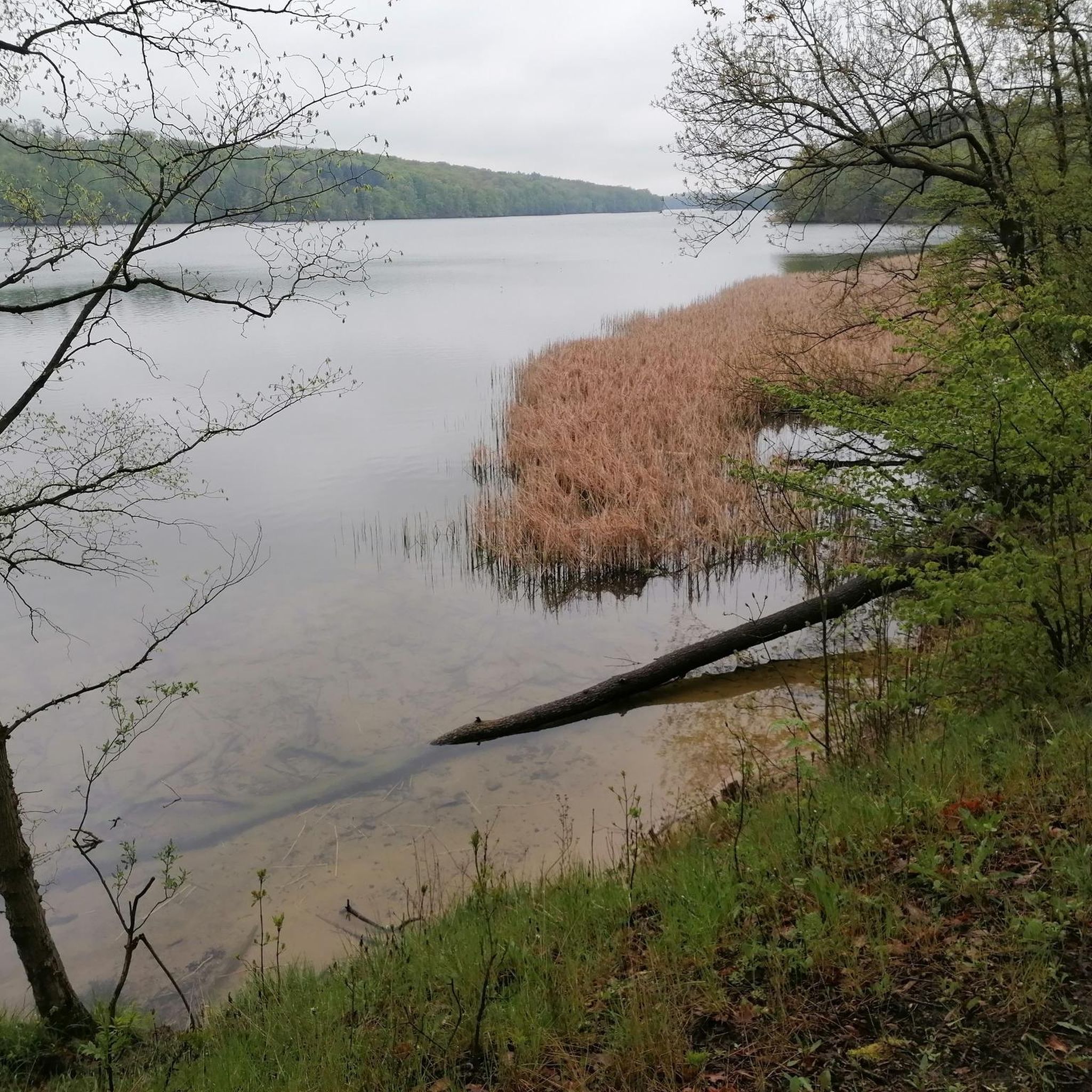
Hikers around Wolletzsee will experience a diverse range of landscapes. The trails traverse hilly and wooded regions, expansive meadows, and open field landscapes. You'll encounter steep bank areas fringed by ancient beech forests, the clear waters of the Wolletzsee itself, and the 'wildly romantic' Welsetal (Welse Valley) with its moor and wetland forests. The region is also known for its rich wildlife and flora.
Are there any circular hiking routes around Wolletzsee?
Yes, circular routes are a prominent feature of hiking around Wolletzsee. The most well-known is the 16.5 to 17-kilometer-long Wolletzseerundweg, which offers diverse scenery. Many shorter, well-marked loop trails are also available. An example is the Wolletzsee Beach – North Shore of the Wolletzsee loop from Strandbad Wolletzsee, a 4.2 km trail through wooded areas and along the lake.
What are some interesting natural features or attractions to look out for on the trails?
Along the trails, you can discover several interesting natural features and attractions. The Adlerquelle Rest Area, an enchanting spring known for its iron-containing water, is a popular stop. You'll also find ancient beech forests, particularly near the UNESCO World Natural Heritage Site Grumsin Beech Forest. The Welse River offers 'wildly romantic' sections, and numerous idyllic rest areas provide stunning views of the Wolletzsee.
Can I bring my dog on the hiking trails around Wolletzsee?
Generally, dogs are welcome on the hiking trails around Wolletzsee. However, it's always advisable to keep them on a leash, especially in nature protection areas and during breeding seasons, to protect local wildlife. Please ensure you clean up after your pet.
Where can I find parking for hiking around Wolletzsee?
Parking facilities are available at various starting points around Wolletzsee. Many popular trailheads, especially those for the Wolletzseerundweg and other loop trails, offer designated parking areas. Specific parking information can often be found on individual route descriptions or local tourism websites.
How can I reach the Wolletzsee hiking trails using public transport?
The hiking trails around Wolletzsee are well-connected by public transport. You can easily reach the area via Angermünde, which has good public transport links. From Angermünde, you can extend your hike to the lake or use local bus services to reach specific trailheads.
Are there places to eat or rest along the hiking routes?
Yes, there are options for refreshments and rest. The former hunting lodge in Wolletz, now a clinic, features a cafeteria with lake views where you can take a break. Additionally, numerous idyllic rest areas are situated along the trails, often on hills, providing perfect spots for picnics with scenic views of the lake and surrounding nature.
What do other hikers enjoy most about hiking in Wolletzsee?
The area is highly rated by the komoot community, with an average score of 4.7 stars from over 3,000 reviews. Hikers frequently praise the clear lake waters, the tranquility of the ancient beech forests, and the varied terrain that keeps the experience engaging. Many appreciate the well-maintained paths and the abundance of scenic viewpoints.
What is the best time of year to hike around Wolletzsee?
Wolletzsee offers appealing hiking experiences throughout the year. Spring brings wildflowers and active wildlife, while summer is ideal for combining hikes with swimming in the clear lake waters. Autumn transforms the beech forests into a spectacle of colors, and even winter hikes can be beautiful, offering serene, crisp landscapes. The choice depends on your preferred scenery and activities.
Are there any longer, more challenging routes for experienced hikers?
Yes, for experienced hikers seeking a greater challenge, there are more difficult routes available. While the Wolletzseerundweg is primarily moderate due to its length, some trails offer more significant elevation changes or cover longer distances. For example, the Pristine beech forest – Angermünde Town Hall loop from Leistenhof is a difficult 28 km route with over 240 meters of elevation gain, leading through extensive forest areas.
Most popular routes around Wolletzsee
Most popular attractions around Wolletzsee

Get inspired with the komoot mobile app


Explore more
Browse the best Hikes in other regions.
