The best cycling routes around Breitlingsee
4.4
(5701)
24,174
riders
485
rides
Touring cycling routes around Breitlingsee offer diverse landscapes characterized by the lake itself and its interconnected waterways, including the River Havel. The region features well-maintained asphalt paths winding through shady pine forests and along the lake shores. Cyclists can expect routes with minimal elevation changes, making them accessible for various fitness levels. The terrain often includes sandy areas along the banks and clear waters, providing scenic views throughout the rides.
Best touring cycling routes around Breitlingsee
- The most popular touring…
Last updated: June 29, 2026
4.4
(93)
414
riders
Moderate bike ride. Good fitness required. Mostly paved surfaces. Suitable for all skill levels.
4.6
(39)
251
riders
Easy bike ride. Great for any fitness level. Mostly paved surfaces. Suitable for all skill levels.

Sign up for free
4.6
(5)
65
riders
Easy bike ride. Great for any fitness level. Mostly paved surfaces. Suitable for all skill levels.
4.7
(20)
130
riders
Easy bike ride. Great for any fitness level. Mostly paved surfaces. Suitable for all skill levels.
4.3
(4)
49
riders
Easy bike ride. Great for any fitness level. Mostly paved surfaces. Suitable for all skill levels.
Get access to more routes and recommendations from other explorers.
Sign up for free
Already have an account?
Our route recommendations are based on thousands of hikes, rides, and runs completed by other people on komoot.
Start today with a free account
Your next adventure awaits.
Login or Signup
Tips from the Community


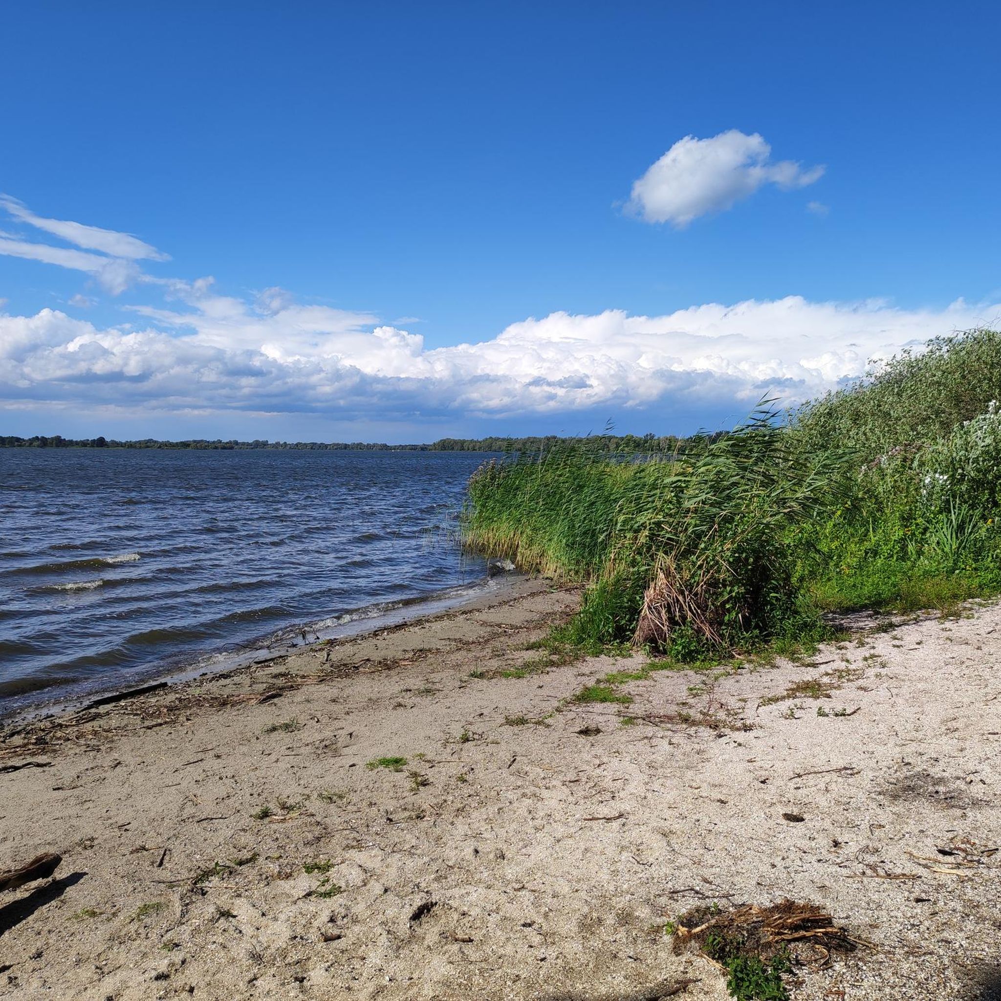
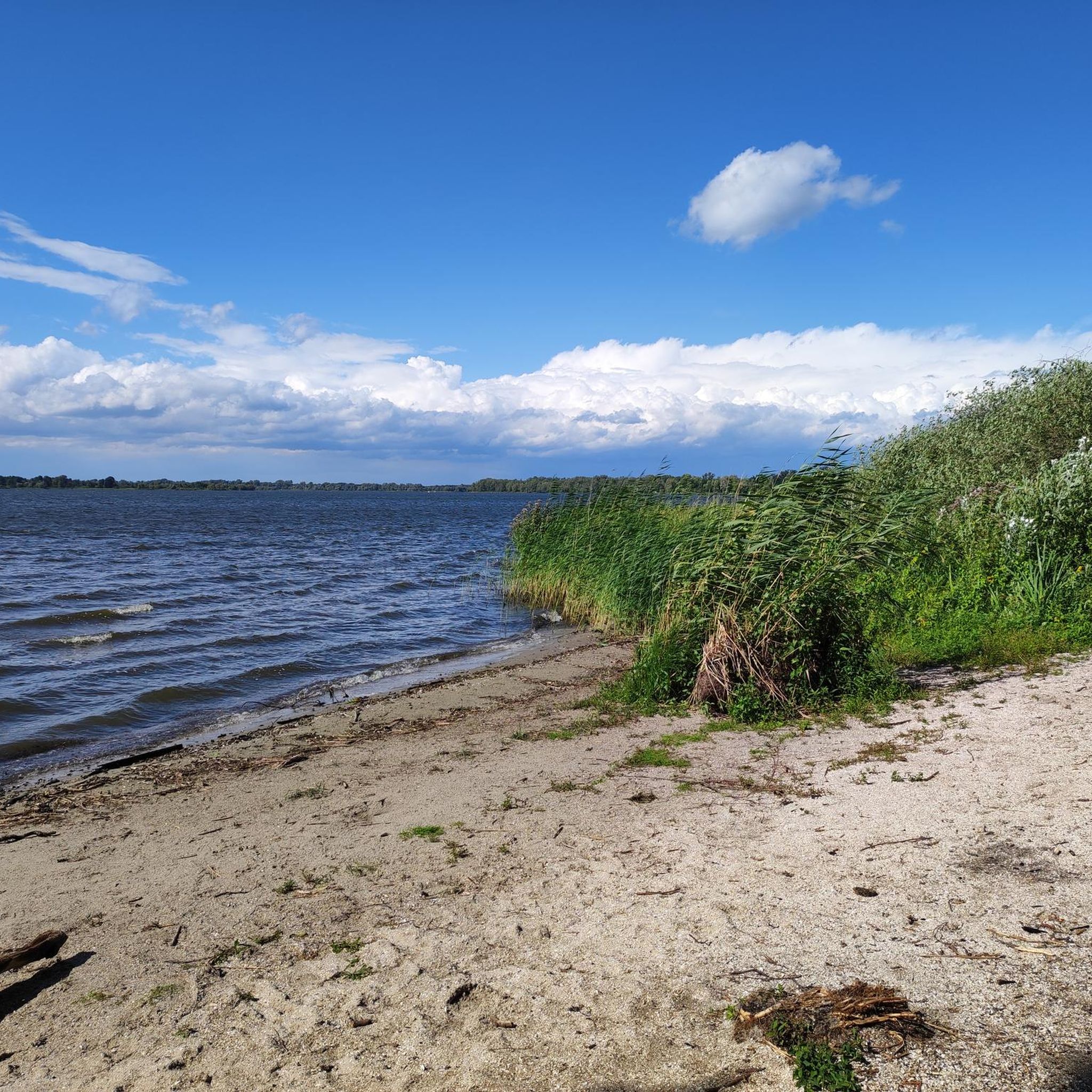
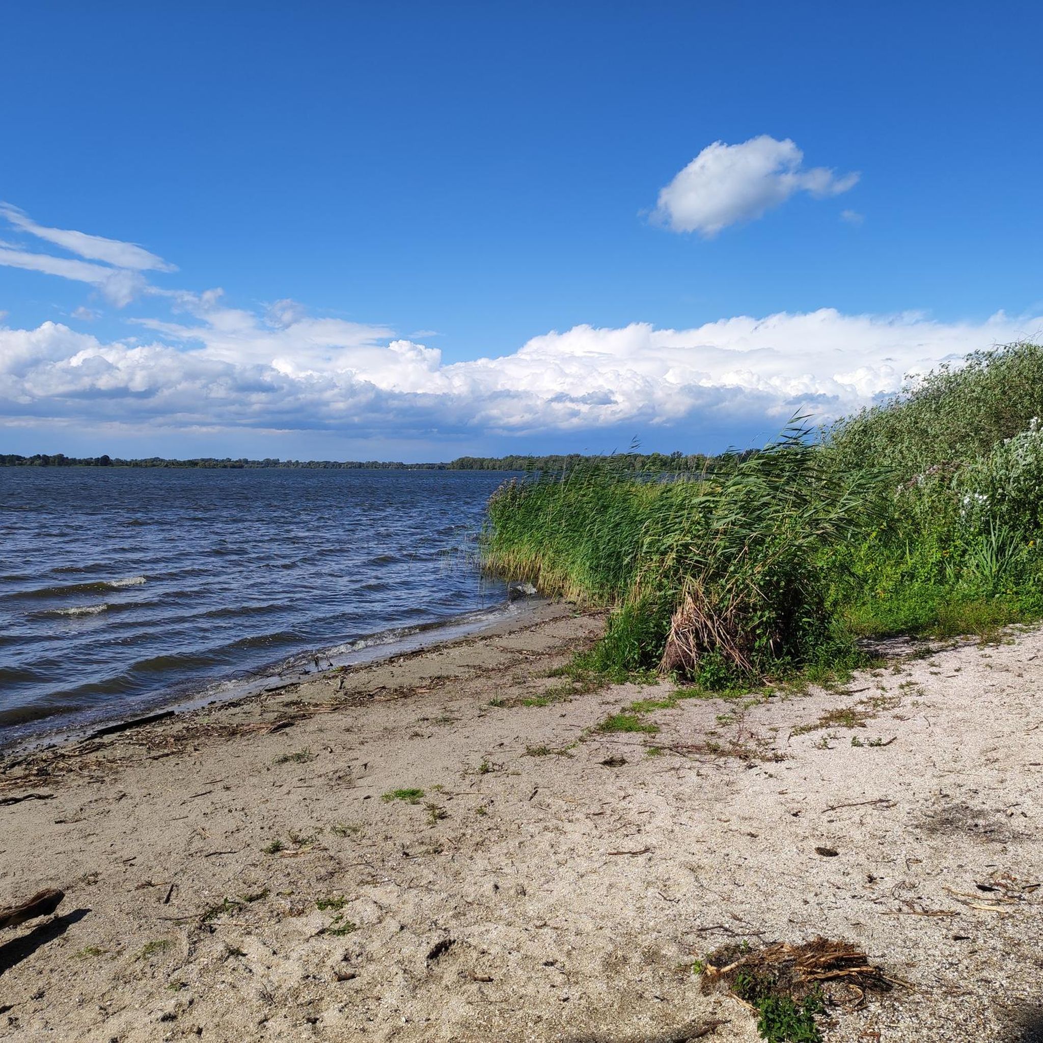
Beautiful beach, well located...
0
1

The old bridge was nicer, but here you can also
0
0
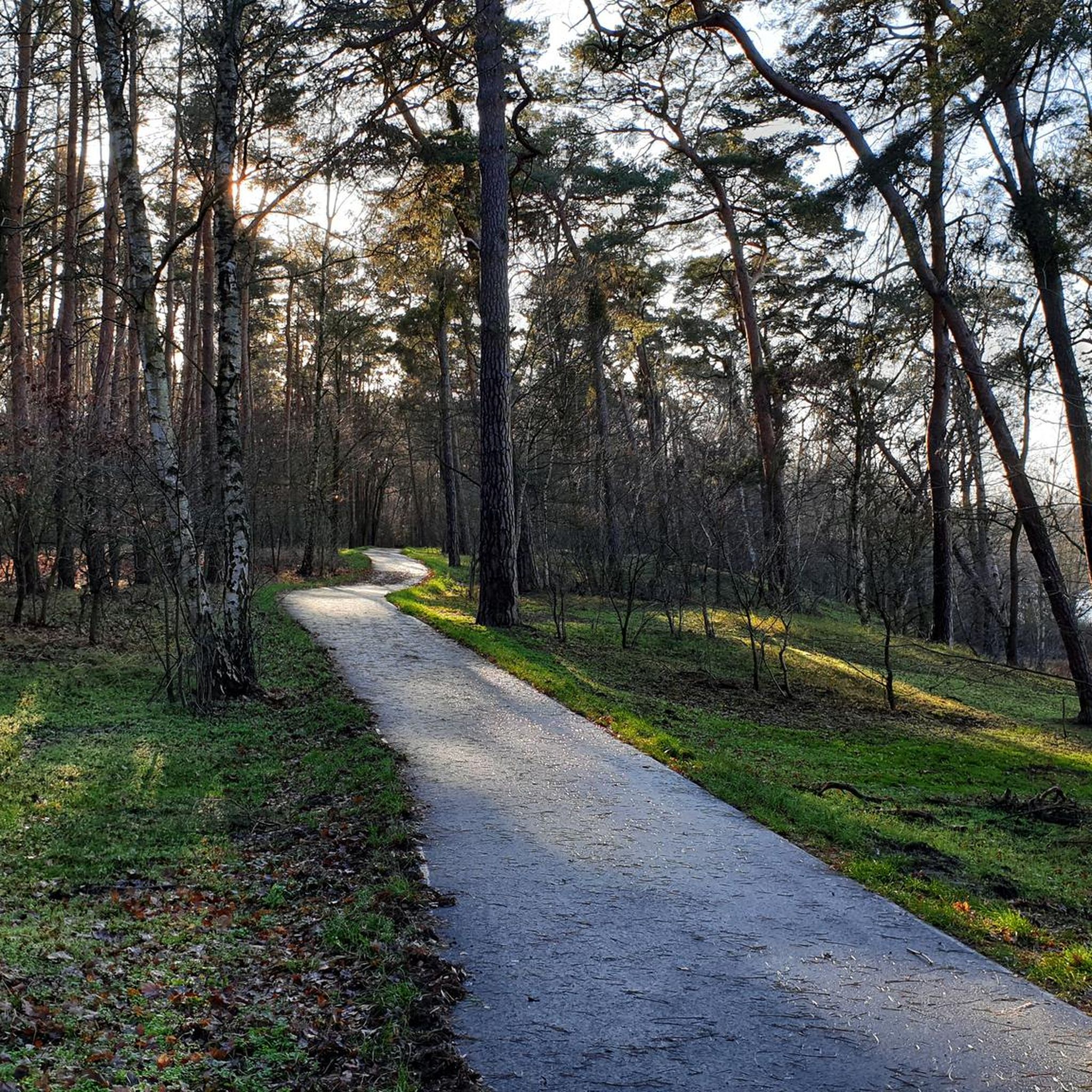
Newly constructed cycle path from Plaue junction to here
0
0

Beautiful rest area, unfortunately completely littered (bottles of all colors, diapers, and other rubbish), disrespectful to nature and others!
0
0

The Havel [ˈhaːfl̩] is a river in northeastern Germany and, at 334 kilometers long, the longest right tributary of the Elbe. The direct distance between source and mouth is only 94 kilometers. The Havel rises near Ankershagen in Mecklenburg-Western Pomerania, flows through Brandenburg, Berlin, and Saxony-Anhalt, and empties into the Elbe near Gnevsdorf on the border between Brandenburg and Saxony-Anhalt. 285 kilometers of river run through Brandenburg. It initially flows through numerous small lakes in a southeasterly direction, then in a southerly, westerly, and finally northwesterly direction. The difference in altitude is only 40.6 meters.
1
0
There are only a few bridges left from the pre-World War I period. Its Art Nouveau design makes it an important architectural monument.
1
0
In October 2020, renovation work began on the bridge,[1] which is why it was closed to pedestrians and cyclists.
1
0
Frequently Asked Questions
How many touring cycling routes are available around Breitlingsee?
There are nearly 500 touring cycling routes around Breitlingsee, offering a wide variety of options for all skill levels. This includes over 290 easy routes, nearly 100 moderate routes, and over 80 challenging routes.
What kind of terrain can I expect on touring cycling routes in Breitlingsee?
The terrain around Breitlingsee is generally flat with minimal elevation changes, making it accessible for various fitness levels. You'll find well-maintained asphalt paths winding through shady pine forests and along the lake shores, offering excellent views of the shimmering blue water. Some areas feature sandy banks and clear waters.
Are there any circular touring cycling routes around Breitlingsee?
Yes, many routes around Breitlingsee are circular, allowing you to start and end at the same point. An example is the easy View of the Breitlingsee – View of the River Plane loop from Breitlingsee, which is about 10.6 km long and takes less than an hour to complete.
What are some notable landmarks or viewpoints along the cycling routes?
Cycling routes often provide scenic views of the Breitlingsee itself, as well as interconnected waterways like the River Havel and the Elbe-Havel Canal. You can also see the Brandenburg Cathedral on routes like the View of the Brandenburg Cathedral – Domstreng Bridge loop from Stadthavel. Other highlights include the Cycle path along Möserscher See and Breitlingsee and various Swimming Spots at Breitlingsee.
Are there family-friendly touring cycling routes in Breitlingsee?
Absolutely. With nearly 300 easy routes and generally flat terrain, Breitlingsee is very suitable for families. The well-maintained asphalt paths and opportunities for swimming breaks make it an enjoyable destination for all ages. The Swimming Spots at Breitlingsee – View of the Breitlingsee loop from Breitlingsee is an easy 12.9 km route perfect for a family outing.
Can I combine cycling with swimming in Breitlingsee?
Yes, many cycling paths run directly along the shore of Breitlingsee, and there are numerous smaller and larger Swimming Spots at Breitlingsee conveniently located. The water depth increases very gradually, making it inviting for a refreshing swim during your ride.
Are there places to eat or rest along the touring cycling routes?
Yes, you'll find amenities along the routes. The Malge Lakeside Restaurant & Marina, for instance, offers food and drinks with a beautiful view over the lake, making it an ideal stop. There are also campsites that cater to touring cyclists.
What is the best season to visit Breitlingsee for touring cycling?
The region is generally pleasant for cycling from spring through autumn. The clear waters and lush landscapes are particularly inviting during warmer months when you can also enjoy swimming opportunities. Winter cycling is possible, but conditions may vary.
How do other touring cyclists rate the routes in Breitlingsee?
The touring cycling routes in Breitlingsee are highly rated by the komoot community, with an average score of 4.4 stars from over 5,500 reviews. Cyclists often praise the scenic lakeside paths, well-maintained surfaces, and the opportunities for refreshing breaks by the water.
Are there longer touring cycling options that connect to routes around Breitlingsee?
Yes, the Breitlingsee area is part of the extensive Havel Cycle Path (Havelradweg), which allows for longer touring possibilities. It also connects to the "Tour Brandenburg," one of Germany's longest long-distance cycle paths, offering extended adventures beyond the immediate lake area.
What is the difficulty level of touring cycling routes in Breitlingsee?
Breitlingsee offers routes for all skill levels. You can find easy rides perfect for any fitness level, such as the View of the Brandenburg Cathedral – Domstreng Bridge loop from Stadthavel, as well as more challenging routes like the difficult Beach at Lake Wusterwitz – Bishop's residence Ziesar Castle loop from Stadthavel, which covers over 54 km.
Is public transport available to access the cycling routes around Breitlingsee?
While specific public transport details for starting points are not provided, the region is well-connected within Brandenburg. Many routes start from towns like Stadthavel, which typically have public transport links, making it possible to reach the area without a car.
Most popular routes around Breitlingsee
Most popular attractions around Breitlingsee

Get inspired with the komoot mobile app


Explore more
Browse the best Cycling routes in other regions.
