1.
Silver Springs Swamp Dam loop from Ridgefield
10.2km
01:04
60m
60m
Moderate run. Good fitness required. Mostly paved surfaces. Suitable for all skill levels.
View route
By Fede from komoot
·
Updated June 1, 2026
If you've ever tried planning your next run or searching for jogging routes around Route 7 Gateway, you know how quickly the options can become overwhelming. It's tough to tell which trails are genuinely worth your time and effort, and which are just filler. We've been there, staring at maps, wondering where to find those truly rewarding paths.
That's where komoot comes in. Our community has jogged, mapped, and reviewed countless routes across this region, so we've done the legwork to bring you a curated shortlist of the very best. Consider this your shortcut to the trails that will make your legs happy, saving you all the guesswork.
Jogging around Route 7 Gateway means immersing yourself in the rolling landscapes of Western Connecticut. Expect dense hardwood forests, the serene beauty of the Housatonic River winding alongside many trails, and a delightful mix of gentle rolling hills and routes with moderate elevation changes. The region offers everything from easy loops to more challenging trails, ensuring there's something for every ability level.
If you're looking for a local favorite that offers a scenic run through forested areas, we'd start with the Silver Springs Swamp Dam loop from Ridgefield, a moderate 7.6 miles (12.2 km) that's a top pick for a reason. For something a bit shorter and easier, perfect for a quick refresh or a beginner, the Prospect Hill loop from Ridgefield at 3.1 miles (5.0 km) is a fantastic choice. With more than 100 runners already exploring these paths on komoot, you're in good company. Dive in and discover your next favorite route!
Trail | Distance | Elevation | Difficulty |
|---|---|---|---|
| Silver Springs Swamp Dam loop from Ridgefield | 10.2 km | 60 m | Moderate |
| Running loop from Mamanasco Lake | 10.9 km | 120 m | Moderate |
| Umpawaug Pond – Starrs Plain Road Pond loop from Redding | 18.5 km | 180 m | Hard |
| Running loop from Seth Low Pierrepont State Park Reserve | 8.85 km | 90 m | Moderate |
| Running loop from Ridgebury | 9.50 km | 140 m | Moderate |
| Running loop from Ridgefield | 3.87 km | 40 m | Easy |
Sign up to see all 6 routes
Sign up for free10.2km
01:04
60m
60m
Moderate run. Good fitness required. Mostly paved surfaces. Suitable for all skill levels.
View route
10.9km
01:10
120m
120m
Moderate run. Good fitness required. Mostly paved surfaces. Suitable for all skill levels.
View route
18.5km
02:00
180m
180m
Hard run. Very good fitness required. Mostly paved surfaces. Suitable for all skill levels.
View route

8.85km
00:56
90m
90m
Moderate run. Good fitness required. Mostly paved surfaces. Suitable for all skill levels.
View route
9.50km
01:01
140m
140m
Moderate run. Good fitness required. Mostly paved surfaces. Suitable for all skill levels.
View route
3.87km
00:24
40m
40m
Easy run. Great for any fitness level. Mostly paved surfaces. Suitable for all skill levels.
View route
Get access to more routes and recommendations from other explorers.
Already have an account?

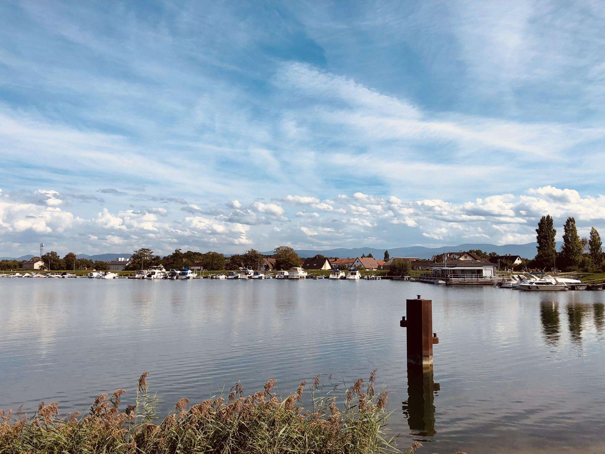
At this spot Silver Springs Swamp flows over a small dam into a small stream. This is a very pretty place to ride past as you explore the area.
0
0
The Route 7 Gateway region offers over 30 diverse running routes. These include a mix of easy, moderate, and challenging trails, catering to various fitness levels and preferences.
Yes, the area features several easy running options. For a relatively flat and scenic run, consider the Prospect Hill loop from Ridgefield, which is just under 5 km. Bennett's Pond State Park also offers the 3.4-mile "Bennett's Pond via Ives Trail Greenway loop," known for its minimal elevation gain and lake views, perfect for beginners.
Absolutely. The Route 7 Gateway, nestled between the Litchfield Hills and the Berkshire foothills, provides routes with moderate to significant elevation changes. A challenging option is the Silver Springs Swamp Dam – Prospect Hill loop from Weir Farm, a difficult 21.5 km trail with notable ascents.
Yes, the region is rich in natural beauty. Kent Falls State Park is a standout, featuring a stunning 250-foot cascading waterfall that can be explored via a stair pathway, offering both a visual spectacle and a challenging incline. Many trails also run alongside the Housatonic River, providing serene water views, particularly in areas like Housatonic Meadows State Park.
Runners in the Route 7 Gateway will experience picturesque and varied natural features. The landscape is characterized by dense hardwood forests, rolling hills, and prominent water features like the Housatonic River and various lakes. You'll find a mix of lakeside paths, deep woodlands, and scenic overlooks, especially in parks like Seth Low Pierrepont State Park Preserve.
Yes, many of the routes in the Route 7 Gateway are circular, allowing you to start and end at the same point. For example, the Silver Springs Swamp Dam loop from Ridgefield is a moderate 12.2 km circular path through forested areas. Another great option is the Running loop from Land Cons. Of Ridgefield (Ledges Road).
Beyond the natural beauty, you can discover several points of interest. Hearthstone Castle in Tarrywile State Park is a notable landmark. The region also features picturesque covered bridges, such as the Historic West Cornwall Covered Bridge, adding charm to your run. For scenic views, consider visiting View of Saugatuck Reservoir or Great Viewpoint.
Many state parks and preserves in the Route 7 Gateway region generally welcome dogs on trails, often requiring them to be on a leash. It's always best to check specific park regulations before heading out, but areas like Bennett's Pond State Park and Seth Low Pierrepont State Park Preserve are popular choices for runners with canine companions.
The Route 7 Gateway offers beautiful running conditions throughout much of the year. Spring and fall are particularly popular due to comfortable temperatures and stunning foliage. Autumn, in particular, transforms the hardwood forests into a vibrant display of colors, making for incredibly scenic runs. You can find more information about seasonal attractions on the CT Visit website.
For families, routes with easier terrain and shorter distances are ideal. The 3.4-mile "Bennett's Pond via Ives Trail Greenway loop" in Bennett's Pond State Park is an excellent choice, offering an easy path with lake views. Shorter sections of trails in parks like Tarrywile State Park can also be adapted for family-friendly outings.
Most state parks and preserves in the Route 7 Gateway, such as Bennett's Pond State Park, Seth Low Pierrepont State Park Preserve, and Tarrywile State Park, offer designated parking areas for trail access. Specific parking details can often be found on individual park websites or komoot route descriptions.
The komoot community frequently praises the varied terrain and natural beauty of the Route 7 Gateway. Runners often highlight the serene river views along the Housatonic, the peacefulness of the dense woodlands, and the satisfaction of tackling the rolling hills. The diversity of routes, from easy lakeside loops to challenging climbs, is also a major draw for the 100+ visitors who have explored the area with komoot.

Browse the best Running Trails & Routes in other regions.


