The best cycling routes around Mechanicsville
5.0
(1)
25
riders
7
rides
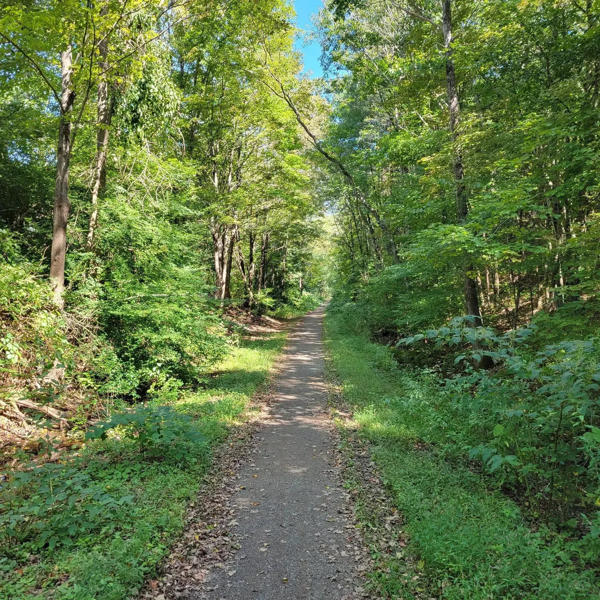
Touring cycling around Mechanicsville offers a variety of routes that traverse the region's diverse landscape. The area features rolling hills, dense forest sections, and routes that often incorporate local landmarks such as the West Thompson Dam. Cyclists can expect a mix of terrain, from more challenging climbs to moderate paths, providing options for different skill levels. The routes generally explore the natural environment surrounding Mechanicsville, including state forests and river trails.
Best touring cycling routes around Mechanicsville
- The most popular…
Last updated: July 2, 2026
7
riders
17.7km
01:35
180m
180m
Moderate bike ride. Good fitness required. Mostly paved surfaces. Suitable for all skill levels.
5.0
(1)
2
riders
51.3km
03:04
340m
340m
Moderate bike ride. Good fitness required. Mostly paved surfaces. Suitable for all skill levels.

Sign up for free
3
riders
53.4km
03:46
500m
500m
Hard bike ride. Very good fitness required. Mostly paved surfaces. Suitable for all skill levels.
3
riders
26.9km
01:47
310m
320m
Moderate bike ride. Good fitness required. Mostly paved surfaces. Suitable for all skill levels.
3
riders
47.8km
02:57
430m
430m
Moderate bike ride. Good fitness required. Mostly paved surfaces. Suitable for all skill levels.
Get access to more routes and recommendations from other explorers.
Sign up for free
Already have an account?
Our route recommendations are based on thousands of hikes, rides, and runs completed by other people on komoot.
Start today with a free account
Your next adventure awaits.
Login or Signup
Popular around Mechanicsville

Tips from the Community

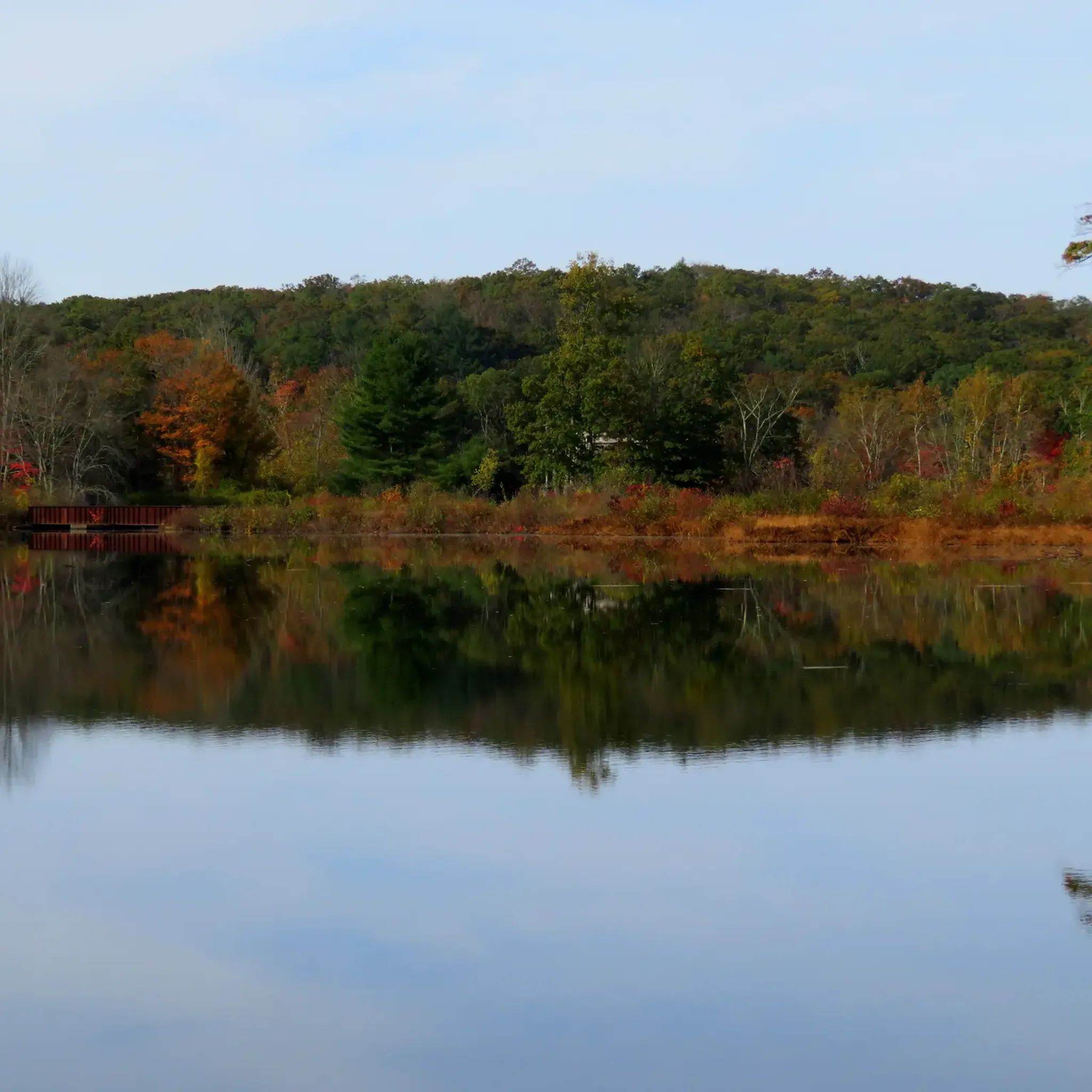
This shaded area features plenty of picnic tables and views of Wallum Lake. There is an accessible beach nearby and toilets available. It's a good spot to stop by when finishing or starting your hike at Douglas State Forest.
1
0

At Cargill Falls, you'll find a dam and cascades right in the heart of the city. From the Pomfret Bridge on US-44, you can see the wide dam and several flowing channels clearly. An island splits the Quinebaug River and the dam, creating a beautiful display of cascades below as the river rushes to reconnect.
0
0

Wallum Pond Hill is a 663-foot hill just off of Wallum Lake Road. This is a nice climb through a pretty area, ending at the Douglas State Forest-managed Wallum Lake. If you head north from here and are looking to add a little gravel to your road ride, you can link up with the Southern New England Trunkline Trail.
0
0

The Airline State Park Trail is divided into sections, and the northern section spans 21 miles from Windham to Putnam, making it a popular rail trail among hikers, runners, and bikers.
0
0

The East Coast Greenway is a paved multi-use path that passes through 15 states and is over 3,000 miles long from Maine to Florida.
0
0
The Airline State Park Trail is divided into sections, and the northern section spans 21 miles from Windham to Putnam, making it a popular rail trail among hikers, runners, and bikers.
1
0
The stone dam from the early 19th century provides a picturesque view of the Five Mile River and carries a rich history, once serving as part of a textile mill. This bridge point offers an excellent spot to appreciate the beauty of the surroundings.
1
0
The area is home to one of the earliest textile mills in Connecticut. Unfortunately, in 1861, the mill burned down, and it was never reconstructed. Numerous remnants of the mill, including a stone house situated on the corner, can still be found at the site.
1
0
Frequently Asked Questions
What kind of terrain can I expect on touring cycling routes around Mechanicsville?
Touring cycling around Mechanicsville features a diverse landscape with rolling hills, dense forest sections, and routes that often incorporate local landmarks like the West Thompson Dam. You'll find a mix of terrain, from more challenging climbs to moderate paths, exploring natural environments including state forests and river trails.
Are there any touring cycling routes suitable for beginners in Mechanicsville?
While there are no routes specifically categorized as 'easy' in our selection, several routes are rated 'moderate' and could be suitable for cyclists with some experience. For example, the West Thompson Dam – Putnam River Trail loop from Putnam is a moderate 31.9-mile route that leads through river valleys.
What are the typical distances and elevation gains for touring cycling routes in Mechanicsville?
Routes vary significantly. You can find shorter moderate rides like the Hammond Hill – Chamberlain Hill loop from Woodstock, which is about 16.7 miles (26.9 km) with around 1,033 feet (315 m) of elevation gain. Longer, more challenging routes, such as the Easter Hill – West Thompson Dam loop from Quaddick State Forest, can be up to 64 miles (103 km) with over 3,480 feet (1,061 m) of ascent.
Are there circular touring cycling routes available in Mechanicsville?
Yes, many of the touring cycling routes in the Mechanicsville area are designed as loops. Examples include the West Thompson Dam – Putnam River Trail loop from Putnam and the Wallum Lake loop from Dudley, offering convenient starting and ending points.
What kind of attractions or landmarks can I see along touring cycling routes in Mechanicsville?
The routes often pass by natural and historical points of interest. You might encounter the West Thompson Dam, the Putnam River Trail, or scenic bodies of water like Richardson Pond and Cargill Falls Reservoir. Some routes also feature historical markers such as the Tripoint marker.
What do other touring cyclists enjoy most about cycling in Mechanicsville?
The area is highly rated by the komoot community, with an average score of 5.0 stars. Cyclists often praise the varied terrain, which includes rolling hills and forested sections, and the opportunity to explore natural environments and local landmarks like the West Thompson Dam.
Are there any touring cycling routes that pass by lakes or reservoirs?
Yes, several routes offer views of or pass directly by local water bodies. The Wallum Lake loop from Dudley, for instance, circles Wallum Lake. You might also encounter Quaddick Reservoir and Richardson Pond on other routes.
What is the best time of year for touring cycling in Mechanicsville?
The spring and fall seasons generally offer the most pleasant conditions for touring cycling in Mechanicsville, with milder temperatures and beautiful foliage. Summer can also be enjoyable, though it's advisable to start earlier in the day to avoid the midday heat. Always check local weather conditions before heading out.
Are there any routes that offer particularly scenic viewpoints?
While specific viewpoints are not always explicitly marked on every route, the region's rolling hills and forested areas naturally provide many scenic vistas. Look for routes that traverse higher elevations or pass by landmarks like the West Thompson Dam, which often offer expansive views of the surrounding landscape. The Brandy Hill Road highlight is also known for its views.
How many touring cycling routes are available in the Mechanicsville area?
There are currently 6 touring cycling routes detailed for the Mechanicsville area, offering a range of experiences from moderate to difficult, and covering various distances and elevations.
What should I bring for a touring cycling trip in Mechanicsville?
Given the varied terrain and potential for longer rides, it's recommended to bring sufficient water, snacks, a repair kit, and appropriate clothing layers. A helmet is essential, and a map or GPS device is helpful for navigation, especially on routes that pass through dense forest sections.
Are there any routes that incorporate river trails?
Yes, the West Thompson Dam – Putnam River Trail loop from Putnam is a prime example, leading cyclists through river valleys and along the Putnam River Trail, offering a different kind of scenic experience.
Most popular routes around Mechanicsville
Most popular attractions around Mechanicsville

Get inspired with the komoot mobile app


Explore more
Browse the best Cycling routes in other regions.
