The best road cycling routes around Sugarloaf
4.7
(48)
3,724
riders
8
rides
Road cycling around Sugarloaf, particularly in the Colorado region near Boulder, is characterized by challenging mountain terrain and significant elevation changes. The area features demanding climbs and descents through scenic canyons and offers expansive mountain views. This landscape provides a diverse environment for road cyclists seeking rigorous routes.
Best road cycling routes around Sugarloaf
- The most popular road cycling route is Ward via Lee Hill, the Peak to Peak Highway, and Boulder Canyon loop, a 47.5 miles (76.5 km)…
Last updated: October 9, 2026
5.0
(2)
115
riders
76.5km
04:53
1,640m
1,640m
Prepare for a difficult road cycling adventure on the Ward via Lee Hill, the Peak to Peak Highway, and Boulder Canyon loop. This route spans 47.5 miles (76.5 km) and…
5.0
(1)
58
riders
29.3km
01:43
660m
660m
Moderate road ride. Good fitness required. Mostly well-paved surfaces and easy to ride.

15
riders
75.3km
05:01
1,790m
1,790m
Hard road ride. Very good fitness required. Some segments of this route may be unpaved and difficult to ride.
13
riders
57.5km
02:43
460m
460m
Moderate road ride. Good fitness required. Some segments of this route may be unpaved and difficult to ride.
7
riders
98.2km
05:21
1,810m
1,810m
Hard road ride. Very good fitness required. Mostly well-paved surfaces and easy to ride.
Get access to more routes and recommendations from other explorers.
Already have an account?
Our route recommendations are based on thousands of hikes, rides, and runs completed by other people on komoot.
Start today with a free account
Your next adventure awaits.

Tips from the Community

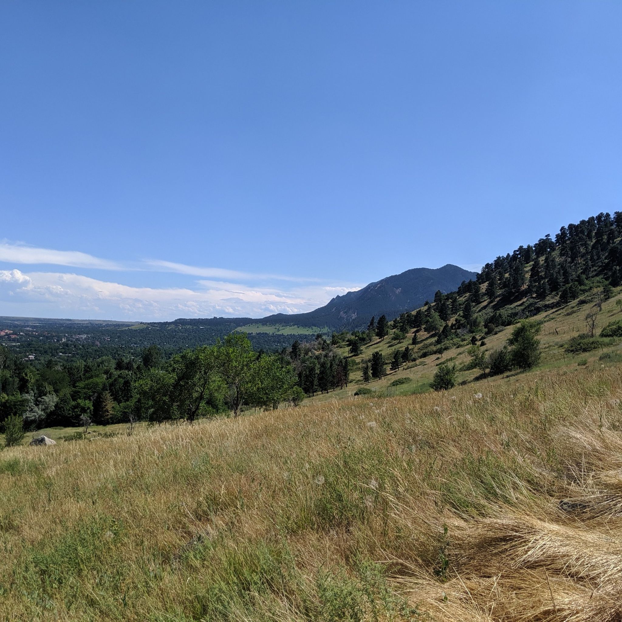
Panorama Point on Flagstaff Mountain in Boulder, CO, offers stunning, panoramic views of the city, whether it's day or night, all year round. You can drive up to the overlook, making it accessible to families and dogs. Parking is limited, however, and the vehicle length limit on Flagstaff Road is 30 feet because it is narrow and twisty. Several trails start and/or pass by here including Flagstaff Trail and the Viewpoint Trail, the latter of which climbs from Boulder Canyon and Eben G. Fine Park near downtown. Panorama Point has three picnic tables, but no restrooms.
0
0

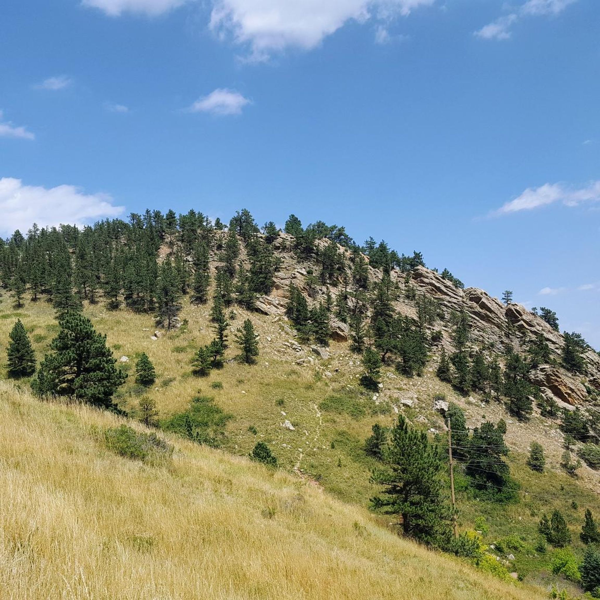
Cycling along West Dillon Road through Admor Open Space treats riders to a varied geography. The landscape unfolds with rolling hills, expansive meadows, and glimpses of majestic mountains. The open space, with its diverse terrain and natural beauty, creates a scenic and enjoyable cycling experience in this Colorado locale.
0
0
The road up Flagstaff from Chautauqua to Chapman Drive, where you can continue to Artists Point overlooking Boulder, is an iconic Boulder climb. This fun, twisting road (whether you ride up or down) grants you great views over the city as you pass by large sandstone boulders and cliffs, stands of pine trees, and several viewpoints. Watch out for cars on both the ascent and descent, this is a very popular drive for tourists and locals alike and there are several well-trafficked hiking trails off of the road.
1
1
Lee Hill Drive is a popular, challenging climb that connects the intersection of Lee Hill with Olde Stage just outside of North Boulder, and Lefthand Canyon. The backside of Lee Hill (the Lefthand Canyon side) is a little nicer for climbing because there is less traffic than on the the Boulder side where there is no shoulder on a series of initial switchbacks. Regardless of which way you go up Lee Hill, coming down the 1,400 foot climb is a real treat after the challenging journey up!
0
0
The east end of Pearl Street before you reach the Pedestrian Mall has seen a lot of growth these last few years. There are great restaurants and coffee shops as well as shopping. There are several large outdoors stores from well-known brands, including Patagonia, Arc'Teryx, Backcountry, Stio, and Mont Bell, all within a few blocks of each other. Boxcar Coffee is an excellent place for a post (or mid) ride latte and pastry, and its right next to Rapha, a high-end cycling clothing shop that also serves coffee.
0
0
The Ferncliff Food & Fuel is a small one-stop-shop in the tiny town of Allenspark. There are bathrooms, a pay phone (!), and plenty of snacks and coffee to purchase. This is a great place to stop and refuel along your ride.
1
0
After transitioning from the bike path (if you choose to do the initial section of Boulder Canyon Drive on it) the road steadily steepens as you climb up toward Nederland. Please watch out for rocks in the road, cars, and wildlife. Although this is a poplar cycling route, there are lots of cars and frequently no shoulder so be aware of your surroundings when climbing or descending.
0
0
Barker Reservoir is at the top of Boulder Canyon Drive just outside of the small town of Nederland. This is a great place to catch your breath after the long climb up the canyon and snap some photos.
0
0
Frequently Asked Questions
What kind of road cycling experience can I expect around Sugarloaf?
Road cycling around Sugarloaf, particularly in the Colorado region near Boulder, is known for its challenging mountain terrain and significant elevation changes. You'll find demanding climbs and descents through scenic canyons, offering expansive mountain views. The area provides a diverse environment for cyclists seeking rigorous routes, though some easier paths are also available.
How many road cycling routes are available in the Sugarloaf area?
There are several road cycling routes around Sugarloaf, with komoot featuring 6 distinct tours. These range in difficulty, offering options for various skill levels, from challenging mountain ascents to more leisurely rides.
Are there any easy road cycling routes suitable for beginners or families?
Yes, while many routes are challenging, there is an easier option. The Maxwell Lake Park – Boulder Creek Path loop from Boulder is an easy 17.5 km (10.9 miles) route with minimal elevation gain, making it suitable for a more relaxed ride or families.
What do other road cyclists enjoy most about the Sugarloaf area?
The road cycling routes around Sugarloaf are highly rated by the komoot community, with an average score of 4.6 stars from over 30 reviews. Cyclists often praise the challenging mountain ascents, scenic canyon roads, and the high-altitude views that define the region's unique riding experience.
Are there any circular road cycling routes around Sugarloaf?
Yes, many of the popular routes are circular, allowing you to start and end in the same location. Examples include the challenging Ward via Lee Hill, the Peak to Peak Highway, and Boulder Canyon loop, or the Flagstaff Road Scenic Drive – Gross Reservoir loop from Flagstaff Mountain.
What are some notable natural features or landmarks I might see along the routes?
The routes offer stunning natural beauty. You can encounter various lakes such as Gross Reservoir and Maxwell Reservoir. The region is also home to prominent peaks like Green Mountain Peak, Bear Peak, and Mount Sanitas, providing expansive mountain vistas.
Are there any specific challenging climbs for experienced road cyclists?
Absolutely. The Sugarloaf area near Boulder is renowned for its challenging climbs. The Lee Hill Drive Climb is a well-known segment, and routes like the Ward via Lee Hill, the Peak to Peak Highway, and Boulder Canyon loop feature significant ascents, gaining over 1,600 meters in elevation.
Where can I find refreshments or a cafe along the road cycling routes?
For a mid-ride stop, the Ward General Store is a notable highlight along some routes, offering a place to refuel. Boulder itself, being a bike-friendly hub, provides numerous cafes and pubs for pre- or post-ride refreshments.
What are the best times of year to go road cycling around Sugarloaf?
The best times for road cycling in the Colorado Sugarloaf area are generally spring through fall, when the weather is milder and mountain passes are clear of snow. Summer offers warm temperatures, while spring and fall provide cooler rides and beautiful scenery, especially with changing foliage.
Is there parking available near the road cycling routes?
Yes, parking is generally available at trailheads and in nearby towns like Boulder, which serves as a common starting point for many routes. Specific parking details can often be found on individual route pages or local cycling resources.
Can I access the road cycling routes using public transport?
Boulder, a key hub for many Sugarloaf routes, has public transport options that can help you get closer to the starting points. Cyclists often use local bus services that accommodate bikes to reach areas like the base of Flagstaff Mountain or other trail access points.
Are there any specific permits required for road cycling in the Sugarloaf area?
Generally, no specific permits are required for road cycling on public roads and designated cycling routes around Sugarloaf in Colorado. However, it's always advisable to check for any local regulations or park-specific rules if you plan to venture into protected areas or specific trail systems.
Most popular attractions around Sugarloaf

Get inspired with the komoot mobile app


Explore more
Browse the best Road cycling routes in other regions.
