The best road cycling routes around Stepping Stone
4.5
(46)
1,901
riders
70
rides
Road cycling around Stepping Stone features a network of paved trails, often following river corridors and green spaces. The terrain is generally flat to gently rolling, with some routes offering moderate elevation gains. These urban and suburban paths provide accessible cycling opportunities, connecting various parks and communities. The area's road cycling routes are characterized by well-maintained surfaces suitable for various skill levels.
Best road cycling routes around Stepping Stone
- The most popular road cycling route is C-470 Trail, a…
Last updated: July 1, 2026
2.0
(1)
59
riders
55.5km
03:02
510m
510m
The C-470 Trail is a 34.5-mile paved road cycling route in Chatfield State Park, offering moderate difficulty and scenic Front Range views.
5.0
(3)
73
riders
34.9km
01:47
120m
120m
Easy road ride. Great for any fitness level. Mostly well-paved surfaces and easy to ride.

Sign up for free
24
riders
Moderate road ride. Good fitness required. Some segments of this route may be unpaved and difficult to ride.
23
riders
26.3km
01:23
300m
300m
Moderate road ride. Good fitness required. Mostly well-paved surfaces and easy to ride.
22
riders
34.5km
02:09
190m
190m
Moderate road ride. Good fitness required. Some segments of this route may be unpaved and difficult to ride.
Get access to more routes and recommendations from other explorers.
Sign up for free
Already have an account?
Our route recommendations are based on thousands of hikes, rides, and runs completed by other people on komoot.
Start today with a free account
Your next adventure awaits.
Login or Signup




Tips from the Community

Cottonwood Creek runs out of Cherry Creek Reservoir and continues south. You cross the creek on several occasions on bridges while following the bike path.
0
0

Nice ride, non biting nats on the south side of the late but only occasionally
0
0

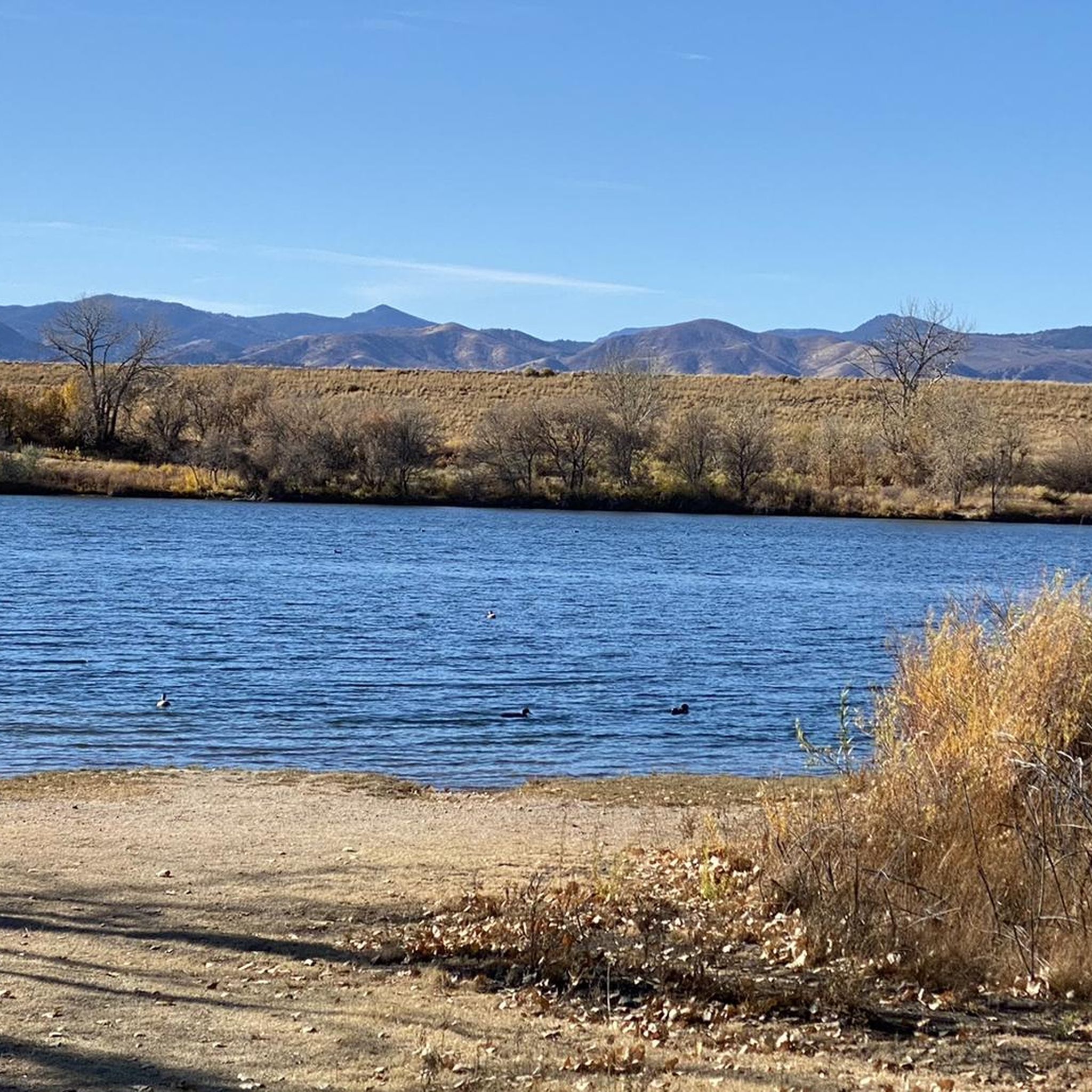
Cherry Creek State Park, in Denver, Colorado is a large, popular park right in the heart of the city. There is an 880-acre reservoir where you can boat, fish, paddleboard, and swim. The park has over 35 miles of multi-use trails for hiking, biking, and horseback riding, and the popular Cherry Creek Trail runs right through it, connecting the park with other locations and trails in the area. Facilities include multiple parking areas and trailheads, picnic areas, restrooms, a marina, and an off-leash dog area.
1
0

Railbender Park is a fantastic skate and tennis park. It's an ideal spot to take a break from your bike ride and watch the skateboarders in action. The park also features picnic benches and ample parking. If you're planning a longer ride on the Cherry Creek Trail, Railbender Park offers direct access to the trail, making it a great place to start or end your journey.
0
0
The Cherry Creek Trail is paved and smooth the entire way. The entire path totals nearly 40 miles and is really popular for biking. It's utilized as a commuter trail so plan on seeing many others out on the trail.
0
0
The Cherry Creek Regional Trail is a part of the Colorado Front Range Trail and runs along Cherry Creek, connecting Cherry Creek State Park in the north to Castlewood Canyon State Park in the south. It links parks and offers scenic views of cottonwoods, willows, and grasslands.
0
0
McCabe Meadows, located in Parker, Colorado, is a park and arboretum that borders Salisbury Equestrian Park. It boasts several nature paths, with the paved Cherry Creek Trail running through the center of the property.
0
0
The Cherry Creek Trail is paved and smooth the entire way. The entire path totals nearly 40 miles and is really popular for walking, running, and biking. It's utilized as a commuter trail, too, so plan on seeing many others out on the trail.
0
0
Frequently Asked Questions
What is the general terrain like for road cycling around Stepping Stone?
Road cycling around Stepping Stone primarily features paved trails, often following river corridors and green spaces. The terrain is generally flat to gently rolling, with some routes offering moderate elevation gains. These urban and suburban paths are well-maintained and suitable for various skill levels.
How many road cycling routes are available in the Stepping Stone area?
There are over 60 road cycling routes available around Stepping Stone, catering to a range of abilities from easy to difficult. Specifically, you'll find 18 easy routes, 43 moderate routes, and 8 difficult routes.
Are there any easy road cycling routes suitable for beginners or families?
Yes, Stepping Stone offers several easy road cycling routes. An excellent option is the Cherry Creek Trail – The Cherry Creek Trail loop from Grand View Estates, an easy 23.1-mile (37.2 km) path that follows the scenic Cherry Creek. Another easy choice is the Cherry Creek Park – Cherry Creek Trail loop from Grand View Estates, which is 20.6 miles (33.1 km) long and leads through Cherry Creek Park.
What are some longer or more challenging road cycling routes in Stepping Stone?
For a more challenging ride, consider the C-470 Trail, a moderate 34.5-mile (55.5 km) route with over 500 meters of elevation gain. Another longer, moderate option is the Cherry Creek Park – View of Cherry Creek Reservoir loop from Rosie Rueter Trailhead, which spans 87.1 miles (140.2 km) and features nearly 476 meters of ascent.
What kind of scenic views or landmarks can I expect along the road cycling routes?
Many routes follow scenic river corridors and green spaces. You can expect views of natural areas, especially along the Cherry Creek. Notable attractions in the vicinity include the Rueter-Hess Reservoir, and various sections of the Cherry Creek Trail and East/West Regional Trail.
Are there any circular road cycling routes around Stepping Stone?
Yes, several routes are designed as loops. For example, the Cherry Creek Trail – The Cherry Creek Trail loop from Grand View Estates and the Cherry Creek Park – Cherry Creek Trail loop from Grand View Estates are popular circular options. Another loop is the Cherry Creek Trail – Railbender Park loop from Meridian.
What do other road cyclists say about the routes in Stepping Stone?
The road cycling routes in Stepping Stone are highly rated by the komoot community, with an average score of 4.5 stars from over 39 reviews. More than 1670 road cyclists have used komoot to explore the area, often praising the well-maintained paved multi-use paths and accessible cycling opportunities.
Is Stepping Stone a good place for road cycling with children?
Given the prevalence of paved multi-use paths and a significant number of easy routes, Stepping Stone can be a good option for family-friendly road cycling. Routes like the easy Cherry Creek Trail loops offer pleasant rides through natural areas suitable for various ages.
Are there opportunities for cafe stops or places to rest along the routes?
While specific cafe stops are not detailed in the route descriptions, the urban and suburban nature of the paths suggests that amenities like cafes and rest stops would likely be accessible in nearby communities or parks along the routes. Many routes connect various parks and urban areas, increasing the likelihood of finding places to pause.
What is the best time of year for road cycling in Stepping Stone?
The guide data does not specify the best time of year. However, as the routes are described as urban and suburban paved trails, they are generally accessible for road cycling during most seasons, weather permitting. It's always advisable to check local weather forecasts before heading out.
What are the typical elevation gains on road cycling routes in Stepping Stone?
Elevation gains vary by route. Easy routes, such as the Cherry Creek Trail loops, typically have moderate gains around 130-170 meters. More challenging routes like the C-470 Trail can feature over 500 meters of elevation gain, offering a good workout for experienced cyclists.
Most popular attractions around Stepping Stone

Get inspired with the komoot mobile app


Explore more
Browse the best Road cycling routes in other regions.
