The best MTB trails around Sherrelwood
4.5
(6)
110
riders
8
rides
Mountain biking around Sherrelwood provides access to the diverse natural landscapes of the Denver metropolitan area and the broader Colorado wilderness. The region features a mix of terrain, including fast-flowing paths, gravel sections, and technical routes with elevation changes. These characteristics are typical of Colorado's mountainous environment, offering varied experiences for mountain bikers. Sherrelwood's location serves as a gateway to these extensive outdoor opportunities.
Best mountain bike trails around Sherrelwood
- The most popular mountain bike trail is Rocky Mountain Arsenal…
Last updated: June 28, 2026
10
riders
Moderate mountain bike ride. Good fitness required. Suitable for all skill levels.
7
riders
23.5km
01:34
150m
140m
Easy mountain bike ride. Great for any fitness level. Suitable for all skill levels.

Sign up for free
7
riders
55.8km
03:35
730m
730m
Hard mountain bike ride. Good fitness required. Advanced riding skills necessary. Some portions of the route may require you to push your bike.
4
riders
Easy mountain bike ride. Great for any fitness level. Suitable for all skill levels.
4.0
(1)
1
riders
20.9km
01:13
150m
150m
Easy mountain bike ride. Great for any fitness level. Suitable for all skill levels.
Get access to more routes and recommendations from other explorers.
Sign up for free
Already have an account?
Our route recommendations are based on thousands of hikes, rides, and runs completed by other people on komoot.
Start today with a free account
Your next adventure awaits.
Login or Signup

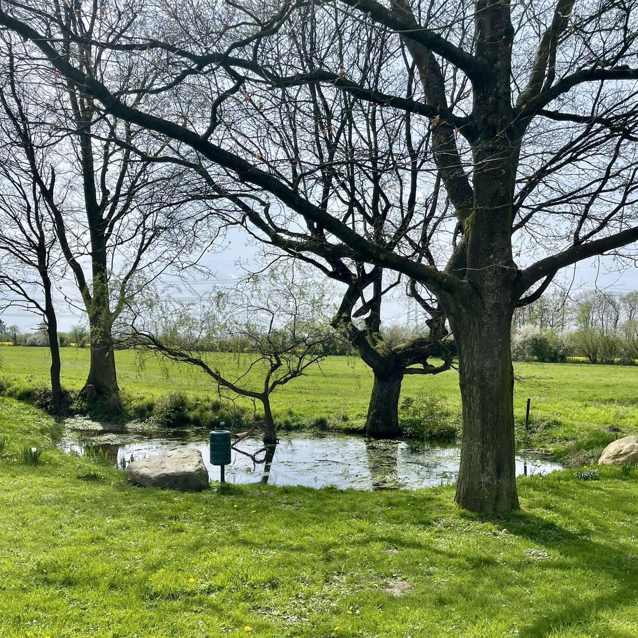
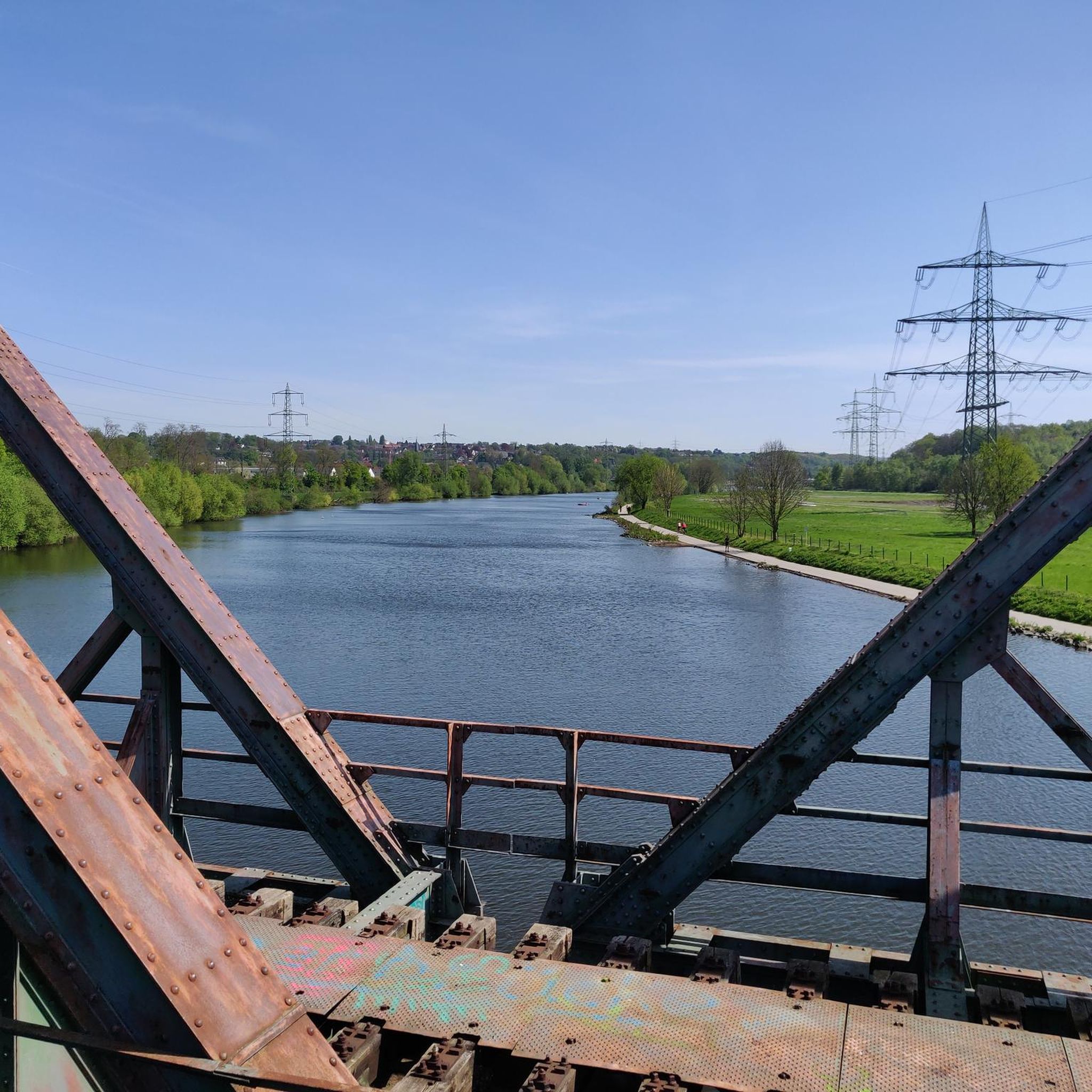
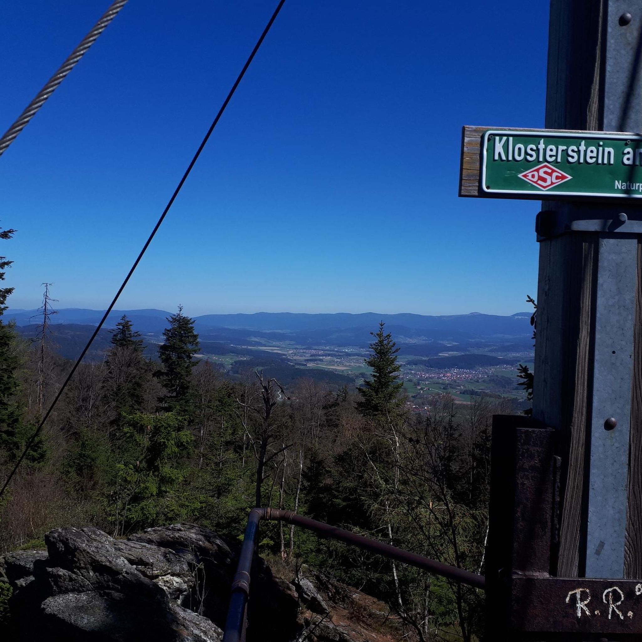

Tips from the Community


After losing their nest to a lightning strike in August, it was unclear which location the eagles would choose for their to new nest. With limited suitable nesting trees in the area—including one along the trail near their previous nest—they have now settled in a tree here, near the southern end of S. 104th St.
0
0

The Big Dry Creek Trail is located in Westminster and spans 12 miles from Interstate 25 to Standley Lake. The multi-use trail features a mostly flat terrain with occasional moderate uphill, passing through open spaces, parks, and neighborhoods. It includes a short on-road section near 99th Street and connects to the US 36 Bikeway, which links Denver and Boulder. Due to the Big Dry Creek stream bank restoration project, there will be periodic closures through fall 2024, and a section will remain closed through summer 2025, with detours available.
0
0

If you're a bird enthusiast, the Bald Eagle Viewing Hide is a must-see. It's in a quiet spot with an elevated view, so spotting eagles is way easier. The best times to go are early mornings or late afternoons when the eagles are more active. Don’t forget your binoculars and camera!
0
0
The Big Dry Creek Trail is located in Westminster and spans 12 miles from Interstate 25 to Standley Lake. The multi-use trail features a mostly flat terrain with occasional moderate uphill, passing through open spaces, parks, and neighborhoods. It includes a short on-road section near 99th Street and connects to the US 36 Bikeway, which links Denver and Boulder. Due to the Big Dry Creek stream bank restoration project, there will be periodic closures through fall 2024, and a section will remain closed through summer 2025, with detours available.
1
0


At 1,200 acres Standley Lake is the largest body of water in Westminster, and the 3rd largest reservoir in the Denver Metro Area. A number of parks and beaches line its shores and a series of trails make their way around most of its perimeter. The views looking west are incredible with the mountains looming in the background.
1
1

Tucker Gulch, stretching for about eight miles, plays a significant role as a watershed running from east to west. It cuts through the prairie, situated roughly one mile north of Clear Creek Canyon, and runs parallel to it. The name "Tucker Gulch" is derived from Alfred Tucker, who ran a tollgate within the canyon entrance during the 1860s. Cycling is not allowed here, so you'll have to dismount and walk your bike.
0
0
Frequently Asked Questions
What kind of terrain can I expect on mountain bike trails near Sherrelwood?
Mountain biking around Sherrelwood offers a diverse range of terrain. You'll find a mix of fast-flowing paths, challenging gravel sections, and technical routes with elevation changes, characteristic of Colorado's mountainous environment. The area includes open plains and rolling hills, with access to more challenging mountainous terrain further afield.
How many mountain bike trails are available around Sherrelwood?
There are 7 mountain bike trails documented around Sherrelwood in this guide. These routes offer various experiences, from easy paths to more difficult climbs, catering to different skill levels.
Are there any easy mountain bike trails suitable for beginners near Sherrelwood?
Yes, there are several easy trails. An excellent option for beginners is the Tucker Gulch – Clear Creek Bridge loop from Arvada Ridge, an easy 19.1-mile (30.7 km) path that follows riverside sections and offers views from higher ground.
What are some challenging mountain bike trails for experienced riders?
For experienced riders seeking a challenge, the Bridge into Golden – Tucker Gulch loop from Arvada Ridge is a difficult 41.8-mile (67.3 km) route with significant elevation changes, providing a demanding ride.
What can I see along the mountain bike trails near Sherrelwood?
While riding, you can enjoy views of natural features like Standley Lake and the Lowell Ponds Wildlife Area. Some routes, like the Rocky Mountain Arsenal National Wildlife Refuge Perimeter Trail, offer expansive views within a wildlife refuge setting.
Are there any interesting landmarks or attractions near the mountain bike trails?
Sherrelwood's proximity to Denver means you're close to several notable attractions. You could visit Union Station Denver, see Mile High Stadium, or explore the 16th Street Mall. For natural beauty, Red Rocks Park and Amphitheatre and the Garden of the Gods are within a reasonable driving distance.
What do other mountain bikers enjoy most about the trails around Sherrelwood?
The routes around Sherrelwood are highly rated by the komoot community, with an average score of 4.5 stars from 6 reviews. Mountain bikers often praise the diverse landscapes, which include open plains, rolling hills, and access to more challenging mountainous terrain, offering varied experiences for all ability levels.
Are there any circular mountain bike routes available?
Yes, many of the trails are designed as loops. For example, the Warembourg Open Space loop from Jefferson Academy Secondary is a 22.2-mile (35.8 km) trail that leads through open space, and the Standley Lake – Standley Lake loop from Farmers High Line Canal Open Space offers a scenic ride around the lake.
What is the best time of year for mountain biking near Sherrelwood?
Colorado's diverse climate means mountain biking conditions can vary. Generally, late spring through early fall offers the most favorable weather. However, it's always advisable to check local weather forecasts and trail conditions, especially for higher elevation trails, as seasonal closures can occur due to snow or mud.
Are there any specific permits required for mountain biking in the Sherrelwood area?
While Sherrelwood itself is suburban, many popular mountain biking areas in the broader Denver Front Range, such as those managed by Jefferson County Open Space or Boulder County Open Space, may require specific permits or passes. It's best to check the regulations for the specific park or open space you plan to visit before heading out.
Is public transport an option to reach mountain bike trails from Sherrelwood?
Sherrelwood is part of the Denver metropolitan area, which has a regional public transport system (RTD). While some routes might get you close to trailheads, direct access with a bike can be challenging for all trails. Many RTD buses are equipped with bike racks, but planning your route in advance and checking specific bus lines for bike accessibility is recommended.
Where can I find parking for mountain bike trails near Sherrelwood?
Parking availability varies by trailhead. Popular areas like the Rocky Mountain Arsenal National Wildlife Refuge or open spaces such as Warembourg typically have designated parking lots. For trails closer to urban areas, street parking might be an option, but it's always best to research specific trailhead parking before your trip.
Most popular attractions around Sherrelwood

Get inspired with the komoot mobile app


Explore more
Browse the best MTB trails in other regions.
