The best MTB trails around Maysville
5.0
(2)
358
riders
10
rides
Mountain biking around Maysville offers access to high-altitude trails and rugged mountain passes. The region is characterized by challenging terrain, including segments of the Colorado Trail and the Monarch Crest. Riders can expect significant elevation gains and descents through varied landscapes. These routes provide an immersive experience in a demanding mountain environment.
Best mountain bike trails around Maysville
- The most popular mountain bike trail is Monarch Crest to Rainbow Trail, a 35.2 miles (56.7 km) trail that takes 4…
Last updated: October 10, 2026
5.0
(2)
208
riders
56.7km
04:31
660m
1,840m
Hard mountain bike ride. Good fitness required. Advanced riding skills necessary. Some portions of the route may require you to push your bike.
56.1km
05:35
1,340m
1,350m
Hard mountain bike ride. Very good fitness required. Advanced riding skills necessary. Some portions of the route may require you to push your bike.

23.7km
02:39
740m
740m
Hard mountain bike ride. Good fitness required. Advanced riding skills necessary. Some portions of the route may require you to push your bike.
109
riders
49.8km
04:09
860m
860m
Hard mountain bike ride. Good fitness required. Advanced riding skills necessary. Some portions of the route may require you to push your bike.
14
riders
45.6km
04:25
1,160m
1,170m
Hard mountain bike ride. Very good fitness required. Advanced riding skills necessary. Some portions of the route may require you to push your bike.
Get access to more routes and recommendations from other explorers.
Already have an account?
Our route recommendations are based on thousands of hikes, rides, and runs completed by other people on komoot.

Tips from the Community

This is the only wooden shelter along the Colorado Trail. The floor is just dirt, but you can use it as a nice spot to take a break or to get out of the rain. There is plenty of room for camping next to the shelter.
2
0
The Continental Divide Trail/Colorado Trail intersects the Green's Creek Trail and the East Agate Creek Trail. There is ample space for camping. If you follow the Green's Trail a few meters further, you will find a log cabin with more space for camping.
3
0
The Continental Divide Trail/Colorado Trail meets with the Green's Creek Trail and East Agate Creek Trail. There is plenty of room to pitch tents. If you follow the Green's Trail for some yards, you will find a wooden shelter with more room for camping.
1
0

Hillside Drive runs right along the historic Tennessee Pass Subdivision Railway for about a mile
0
0

Cottonwood trail is a fast and flowy with a few technical spots that will keep you in check. The trail also offers great views of the Sangre de Cristo Mountains and Salida.
0
0
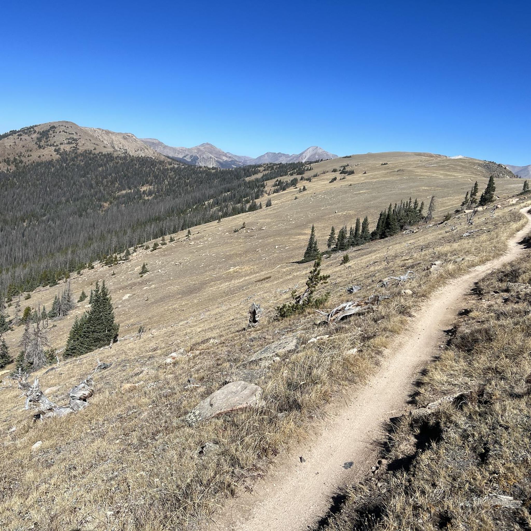
This section of the Colorado Trail makes for a fun and adventurous out and back. It's a nice mixture of alpine and forested singletrack with spectacular views of the Collegiate Peaks.
0
0

At an elevation of 11,312 feet, Monarch Pass features a gift shop, parking, restrooms, and acts as a trailhead for a number of trails. Mountain bikes frequent the trails from the pass, but they are also great trails for running and hiking.
0
0

Super fun trail with lots of techy uphill features if you ride towards CR 175. The trail can be ridden in both directions and is easier – and more fun – if you start at CR 175.
1
1
Frequently Asked Questions
What kind of mountain biking experience can I expect in Maysville?
Mountain biking around Maysville is characterized by high-altitude trails and rugged mountain passes. You'll encounter challenging terrain, including segments of the Colorado Trail and the Monarch Crest, with significant elevation gains and descents. These routes are designed for experienced riders seeking a demanding mountain environment.
Are there any easy or beginner-friendly mountain bike trails in Maysville?
The mountain bike trails in Maysville are predominantly difficult, featuring challenging singletrack, extensive climbs, and demanding mountain terrain. There are no easy or moderate routes listed in this guide, making the area best suited for experienced riders.
What is the typical length and duration of mountain bike trails around Maysville?
The trails vary in length, with many being substantial undertakings. For example, the Monarch Crest to Rainbow Trail is 35.2 miles (56.7 km) and typically takes around 4 hours 30 minutes. Another significant route, the Monarch Crest: Agate Creek Loop, is 34.9 miles (56.1 km) and can take over 5 hours.
When is the best time of year to go mountain biking in Maysville?
Due to the high-altitude nature of the trails around Maysville, the prime mountain biking season typically runs from late spring through early fall (roughly June to October). Trails can be snow-covered and impassable during winter months, and conditions can change rapidly at higher elevations.
Are there any loop trails for mountain biking in Maysville?
Yes, there are several excellent loop options. A popular choice is the Monarch Crest: Agate Creek Loop, which offers a full circuit through demanding mountain terrain. Another notable loop is the Fooses Creek Trail – Monarch Crest Trail loop from Salida.
What scenic views or natural landmarks can I expect to see along the trails?
Maysville's trails offer panoramic mountain views, especially along routes like the Monarch Crest to Rainbow Trail. You'll also encounter significant mountain passes such as Monarch Pass and Marshall Pass Road. Keep an eye out for the Collegiate Peaks View for stunning vistas.
What do other mountain bikers enjoy most about Maysville's trails?
The area is highly rated by the komoot community, with an average score of 5.0 stars. Reviewers often praise the challenging high-alpine singletrack, the immersive experience in a demanding mountain environment, and the extensive climbs and descents that define the region's routes.
Are there any specific segments of the Colorado Trail accessible from Maysville?
Yes, you can access segments of the renowned Colorado Trail. The Colorado Trail: Segment 14 is a 14.7-mile (23.7 km) trail leading through high mountain passes, offering a challenging ride.
Are there any towns or settlements near the mountain bike trails where I can find amenities?
Maysville itself is a small community. Nearby towns like Poncha Springs and Salida offer more amenities, including places to eat and stay. Some routes, like the North Backbone Trail – Historic Downtown Salida loop from Poncha Springs, can connect you to these areas.
What are the typical trail conditions like in Maysville?
Given the high-altitude and rugged nature of the terrain, trails often feature rocky sections, exposed singletrack, and can be subject to rapid weather changes. Always check local conditions before heading out, especially regarding snowmelt and potential afternoon thunderstorms during summer.
How many mountain bike trails are covered in this guide for Maysville?
This guide features 12 mountain bike trails around Maysville, all of which are rated as difficult, catering to experienced riders.
Are there any hidden gem mountain bike trails in the Maysville area?
While all routes in this guide are well-regarded for their challenging nature, the North Backbone Trail – Historic Downtown Salida loop from Poncha Springs offers a unique blend of rugged mountain biking with the option to explore a historic town, providing a slightly different experience from the more remote Monarch Crest trails.
Most popular routes around Maysville
Most popular attractions around Maysville

Get inspired with the komoot mobile app


Explore more
Browse the best MTB trails in other regions.
