The best road cycling routes around Englewood
4.3
(163)
11,418
riders
192
rides
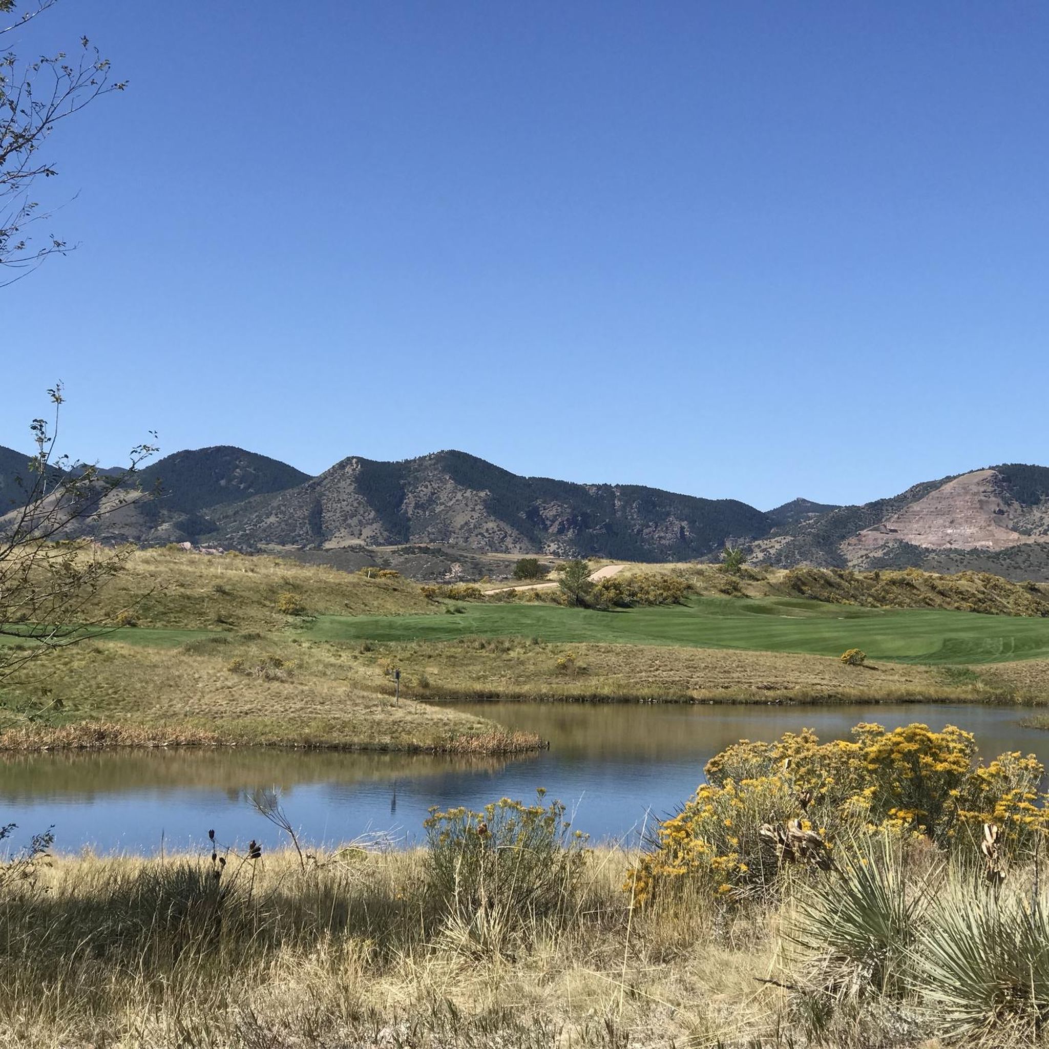
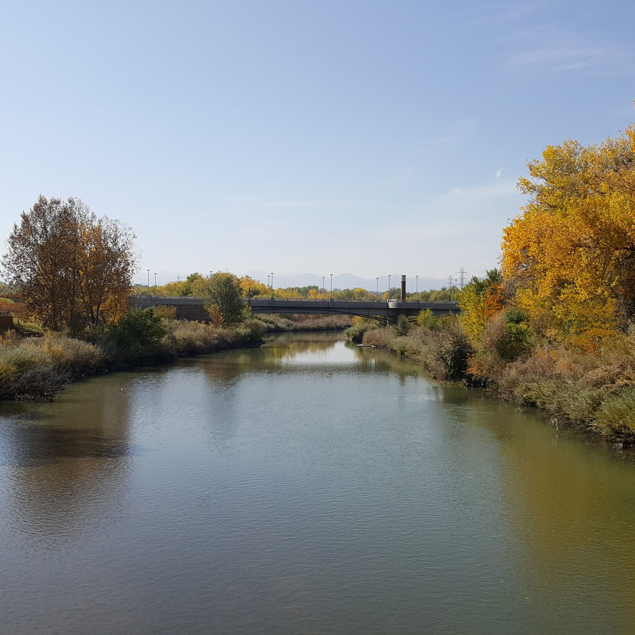
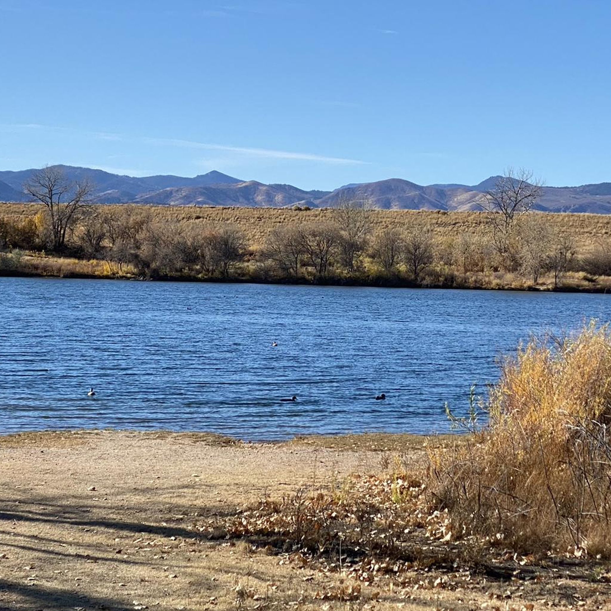
Road cycling routes around Englewood are characterized by urban greenways, river paths, and reservoir loops. The region features relatively flat terrain with some moderate elevation changes, offering varied experiences for road cyclists. These routes often follow established trails alongside waterways and through suburban areas, providing accessible cycling opportunities.
Best road cycling routes around Englewood
- The most popular road cycling route is Bear Creek, C-470 and Mary Carter Greenway Loop, a 31.8 miles (51.2 km) trail that takes 2 hours…
Last updated: October 10, 2026
4.8
(9)
305
riders
51.2km
02:48
300m
300m
Moderate road ride. Good fitness required. Mostly well-paved surfaces and easy to ride.
4.7
(3)
6
riders
50.6km
02:33
370m
370m
Moderate road ride. Good fitness required. Some segments of this route may be unpaved and difficult to ride.

4.6
(14)
589
riders
Moderate road ride. Good fitness required. Mostly well-paved surfaces and easy to ride.
3.0
(1)
217
riders
Easy road ride. Great for any fitness level. Mostly well-paved surfaces and easy to ride.
197
riders
43.0km
02:05
120m
120m
Moderate road ride. Good fitness required. Mostly well-paved surfaces and easy to ride.
Get access to more routes and recommendations from other explorers.
Already have an account?
Our route recommendations are based on thousands of hikes, rides, and runs completed by other people on komoot.
Start today with a free account
Your next adventure awaits.

Tips from the Community

Grant-Frontier Park sits right on the South Platte River and is the site of the old Montana City, built in the 1850s. Today, visitors can find paved trails, playgrounds, restrooms, and benches.
0
0

Nice ride, non biting nats on the south side of the late but only occasionally
0
0

Empower Field at Mile High, often called Mile High Stadium, is Denver’s iconic sports venue and home to the NFL’s Denver Broncos. Located near downtown, the stadium sits 5,280 feet above sea level, giving it its name. Opened in 2001, it replaced the original Mile High Stadium and can accommodate over 76,000 fans. The stadium hosts football games, concerts, and other large-scale events and features panoramic views of Denver and the Rocky Mountains. Outside, the "Bucky the Bronco" statue symbolizes the team and its history.
1
0
Great stop on the Platte River Trail, good coffer, place to sit and relx
1
0

The South Platte River is one of the two main tributaries of the Platte River. The river starts in South Park and ends when it joins the North Platte River south of Ogallala, Nebraska.
0
0

Valverde Park is a nice, small park right along the South Platte River. It is a great place for a break if you are walking the Platte River Trail, as there are benches and a picnic area. The park is known for the large statue of a dog that is at the entrance of the park.
1
0

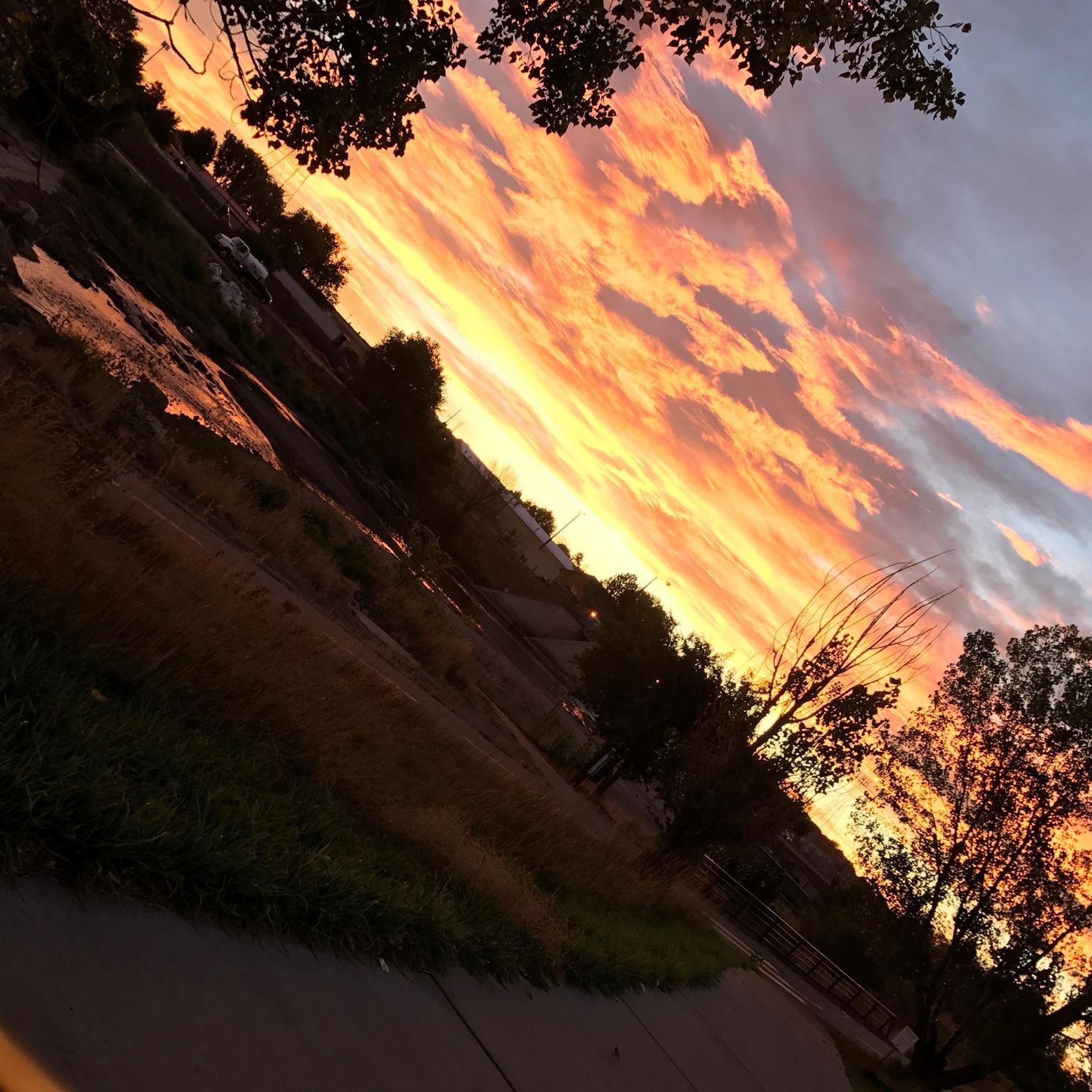
The Platte River Trail is a fine paved multi use trail for walking and cycling, following the Platte River. In this section, starting close to the downtown of Denver it leads all the way south to Vanderbilt Park. Especially in the northern part, the trail passes some industrial sites here and there – but also several parks with picnic sites and cafés close by.
1
0

Four Mile Historic Park is a living museum on 12 acres of land. It is the site of Denver's oldest house. You can catch a glimpse of the house from Cherry Creek Trail, or take a short detour to get a full look.
0
0
Frequently Asked Questions
How many road cycling routes are available around Englewood?
There are over 10 road cycling routes around Englewood, offering a variety of experiences. These routes are highly rated by the komoot community, with an average score of 4.6 stars from over 55 reviews.
What is the general difficulty level of road cycling routes in Englewood?
Englewood offers a range of road cycling routes suitable for different abilities. You'll find 4 easy routes, 7 moderate routes, and 1 more challenging route, ensuring options for beginners to experienced cyclists.
Are there any routes with significant elevation gain for a more challenging ride?
Yes, several routes around Englewood feature notable elevation changes. For example, the Mary Carter Greenway Trail – View from Chatfield Dam loop from Oxford - City of Sheridan includes over 450 meters of elevation gain, providing a more demanding experience.
What kind of landscapes can I expect to see while road cycling in Englewood?
Road cycling routes around Englewood are characterized by urban greenways, scenic river paths, and reservoir loops. You'll often find yourself cycling alongside waterways and through suburban areas, with views of natural preserves and open spaces.
Are there any family-friendly road cycling routes in Englewood?
Yes, Englewood offers several easy routes that are great for families. The Nixon's Coffee House loop from Oxford - City of Sheridan is an easy option, covering about 14.8 kilometers with minimal elevation, perfect for a relaxed family ride.
What are some notable landmarks or attractions along the road cycling routes?
Many routes pass by or near interesting landmarks. You can explore areas close to South Platte Reservoir, the Chatfield Dam Trail, and the Marjorie Perry Nature Preserve. Further afield, you might find yourself near city attractions like Union Station Denver or Mile High Stadium.
Are there any long-distance road cycling routes in the Englewood area?
For longer rides, routes like the Mary Carter Greenway Trail – View from Chatfield Dam loop from Oxford - City of Sheridan offer a substantial distance of over 62 kilometers. The Bear Creek, C-470 and Mary Carter Greenway Loop is also a great option at over 51 kilometers.
Are there circular road cycling routes available?
Yes, many of the road cycling routes around Englewood are designed as loops, allowing you to start and end at the same point. Examples include the Bear Creek, C-470 and Mary Carter Greenway Loop and the C-470 and Mary Carter Greenway Loop.
What do other road cyclists enjoy most about the routes in Englewood?
The komoot community highly rates the road cycling in Englewood, with an average of 4.6 stars. Cyclists often praise the well-maintained greenway paths, the scenic river corridors, and the varied terrain that offers both easy and challenging options.
Where can I find parking for road cycling trails in Englewood?
Many routes in Englewood are accessible from various points, often with parking available near trailheads or in adjacent parks. For example, areas around the South Platte River and Chatfield Dam typically offer parking facilities. You might also find parking near The Grove at Commons Park or Cherry Creek State Park South Entrance.
Are there any routes that offer views of lakes or reservoirs?
Absolutely. The South Platte Reservoir – South Platte River loop from Oxford - City of Sheridan provides excellent views of the South Platte Reservoir. Other routes may offer glimpses of water features along the river corridors.
Most popular attractions around Englewood

Get inspired with the komoot mobile app


Explore more
Browse the best Road cycling routes in other regions.
