The best road cycling routes around Aurora
4.2
(29)
1,055
riders
49
rides
Road cycling around Aurora, Colorado, features a network of routes primarily traversing urban greenways, creek-side paths, and reservoir loops. The terrain is generally flat to gently rolling, with minimal elevation changes, making it accessible for various skill levels. The region offers opportunities to cycle along established trails like the Cherry Creek Trail and Sand Creek Regional Greenway. These routes provide a mix of paved surfaces suitable for road bikes, often connecting parks and natural areas within the city's expansive landscape.
…Last updated: November 8, 2026
4.0
(2)
234
riders
48.6km
02:13
150m
150m
Moderate road ride. Good fitness required. Mostly well-paved surfaces and easy to ride.
5.0
(1)
63
riders
63.7km
03:16
290m
290m
Moderate road ride. Good fitness required. Some segments of this route may be unpaved and difficult to ride.

4.5
(4)
115
riders
Moderate road ride. Some segments of this route may be unpaved and difficult to ride.
4.8
(9)
49
riders
39.4km
02:04
120m
120m
Moderate road ride. Good fitness required. Mostly well-paved surfaces and easy to ride.
48
riders
65.4km
03:24
190m
190m
Moderate road ride. Good fitness required. Mostly well-paved surfaces and easy to ride.
Get access to more routes and recommendations from other explorers.
Already have an account?
Our route recommendations are based on thousands of hikes, rides, and runs completed by other people on komoot.
Start today with a free account
Your next adventure awaits.
Tips from the Community

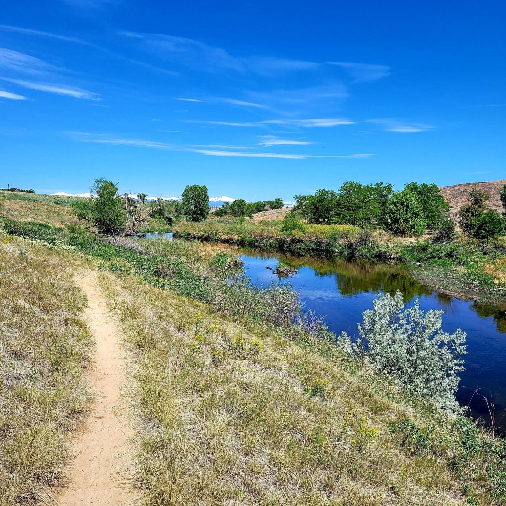
Cottonwood Creek runs out of Cherry Creek Reservoir and continues south. You cross the creek on several occasions on bridges while following the bike path.
0
0

Great view of the South Platte River from the cycle trail. The trail is popular with walkers, runners, and cyclists, so if you want to stop to enjoy the view, make sure you pull off to the side.
0
0

Nice ride, non biting nats on the south side of the late but only occasionally
0
0

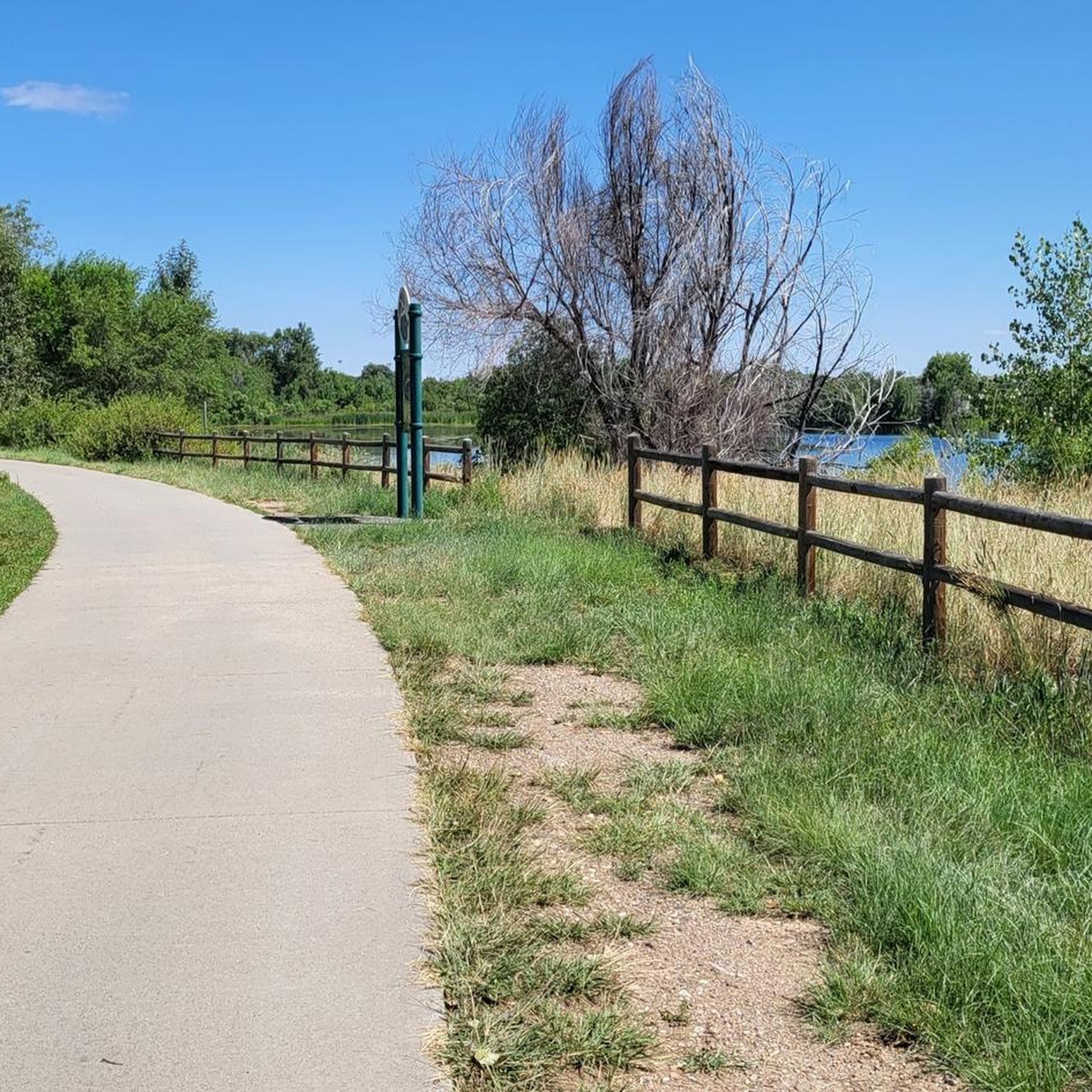
The Toll Gate Creek Regional Trail in Aurora, Colorado, offers over 11 miles of paved, multi-use pathways that pass through natural areas along Toll Gate Creek, connecting parks, residential neighborhoods, and commercial centers. The trail passes through several parks, including Horseshoe Park, Tollgate Park, and Meadowood Park, and also intersects with other regional trails, including the High Line Canal Trail, Cherry Creek Spillway Trail, and West Toll Gate Creek Trail. With its with a mostly flat terrain, the Toll Gate Creek Regional Trail is popular for walking, jogging, cycling, and rollerblading. There are restrooms, water fountains, and parking facilities at various parks along the way for you to use.
0
0
Cherry Creek State Park, in Denver, Colorado is a large, popular park right in the heart of the city. There is an 880-acre reservoir where you can boat, fish, paddleboard, and swim. The park has over 35 miles of multi-use trails for hiking, biking, and horseback riding, and the popular Cherry Creek Trail runs right through it, connecting the park with other locations and trails in the area. Facilities include multiple parking areas and trailheads, picnic areas, restrooms, a marina, and an off-leash dog area.
1
0

Riverdale Regional Park is a sprawling area that caters to a variety of interests. It functions as a haven for nature lovers with walking trails, and a spot for history buffs with the Adams County Museum. Every year, the park transforms into a festive venue for various summer celebrations.
0
0
Clear Creek, a vibrant waterway roughly 66 miles long, originates in the Rocky Mountains west of Denver, finally meeting with the South Platte River. The contrast in the water's color and flow is often noticeable, with Clear Creek's clear, fast-moving water meeting the South Platte's slower, sometimes more opaque flow.
0
0

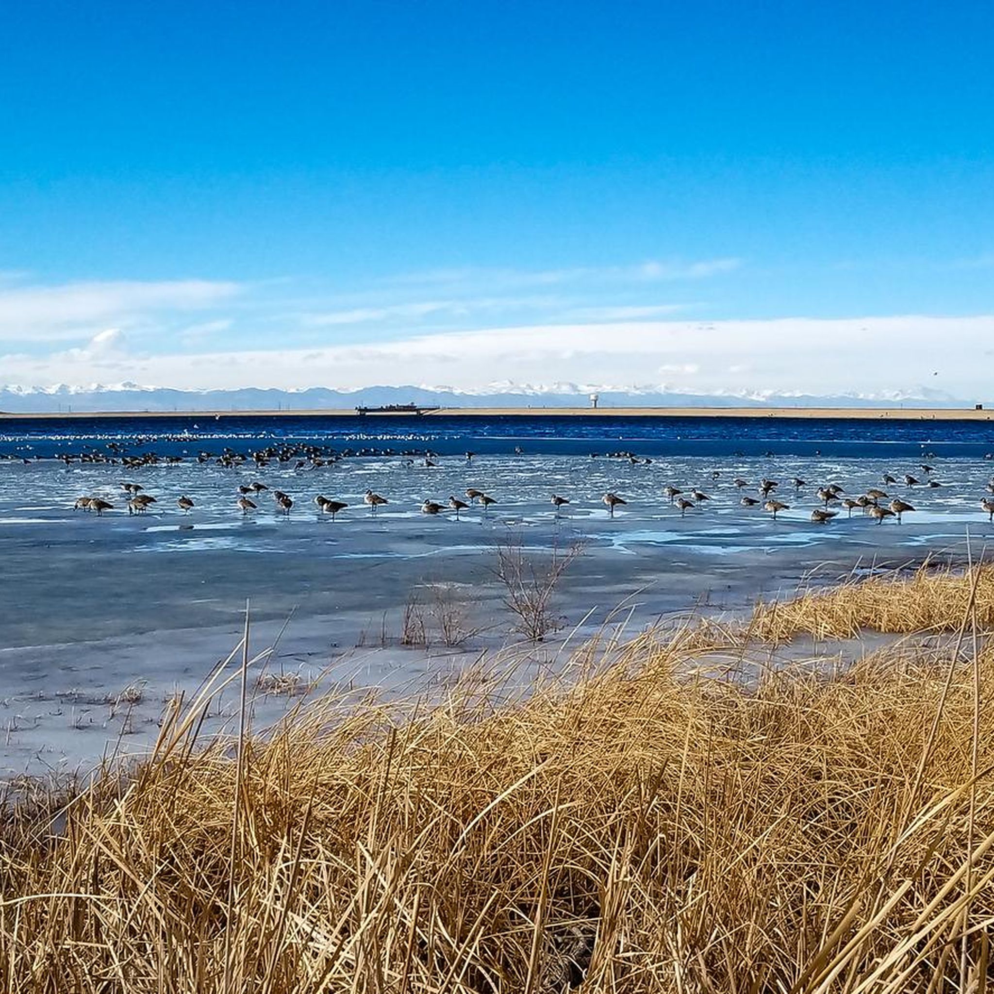
At this point you can experience the vastness of Cherry Creek Park. This wilderness area is especially remarkable that it is located in the city. The park is a refuge site for many wildlife species. In parallel, many outdoor activities are possible in some dedicated areas such as camping, fishing, hiking, or animal observation.
0
0
Frequently Asked Questions
How many road cycling routes are available around Aurora?
Aurora offers a wide selection of road cycling routes, with over 45 tours available on komoot. These routes cater to various skill levels, from easy rides to more moderate distances.
What kind of terrain can I expect on road cycling routes in Aurora?
Road cycling around Aurora primarily features urban greenways, creek-side paths, and scenic reservoir loops. The terrain is generally flat to gently rolling, with minimal elevation changes, making it accessible for a range of cyclists.
Are there easy road cycling routes suitable for beginners in Aurora?
Yes, Aurora has 9 easy road cycling routes, perfect for beginners or those looking for a relaxed ride. These routes often follow established trails with paved surfaces, providing a comfortable experience.
Are there any longer or more challenging road cycling routes for experienced riders?
For more experienced riders, Aurora offers 36 moderate road cycling routes and 1 difficult route. A notable longer option is the Cherry Creek Trail – Cherry Creek Park loop from Smoky Hill Trail Historic Marker, which spans over 50 miles.
What are some popular loop road cycling routes in Aurora?
Many of Aurora's road cycling routes are designed as loops, offering convenient starting and ending points. Popular options include the Cherry Creek Trail North – Smith Lake and Lily Pond loop from Iliff and the Aurora Reservoir – Swim Beach at Aurora Reservoir loop from Smoky Hill Trail Historic Marker.
What can I see along the road cycling routes in Aurora?
Many routes offer scenic views of natural areas and connect to local attractions. You can cycle past beautiful spots like Marjorie Perry Nature Preserve or enjoy the surroundings of Bluff Lake Park. Some routes also provide access to the Mid section of Platte River Trail.
Are there any road cycling routes that pass by cafes or places to stop for refreshments?
Yes, some routes, like the Sand Creek Regional Greenway – Prodigy Coffeehouse loop from Fitzsimons, are designed to pass by local establishments, offering convenient stops for coffee or a snack during your ride.
What do other road cyclists enjoy the most about road cycling in Aurora?
The road cycling routes in Aurora are highly rated by the komoot community, with an average score of 4.4 stars from over 16 reviews. Cyclists often praise the well-maintained paved surfaces, the accessibility of the trails, and the pleasant mix of urban and natural landscapes.
What is the best time of year for road biking in Aurora?
The spring, summer, and fall months generally offer the most pleasant conditions for road biking in Aurora, with mild temperatures and less chance of snow. However, many trails are accessible year-round, weather permitting.
Are there any road cycling routes that offer views of lakes or reservoirs?
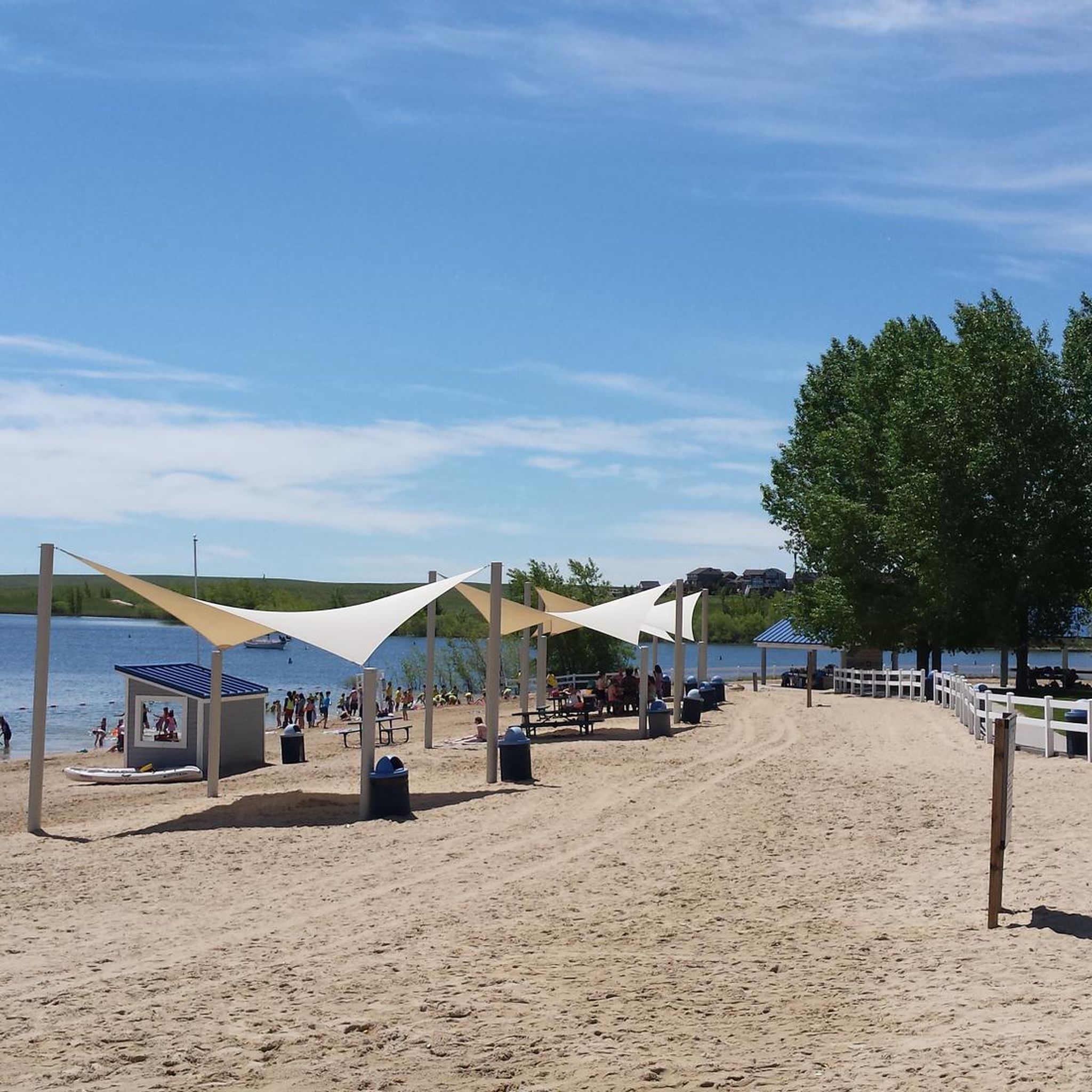
Absolutely. The Aurora area is known for its reservoir loops. The Aurora Reservoir – Swim Beach at Aurora Reservoir loop from Smoky Hill Trail Historic Marker is a prime example, offering beautiful views of the Aurora Reservoir.
Where can I find parking for road cycling trails in Aurora?
Many of Aurora's road cycling routes, especially those along greenways and around reservoirs, have designated parking areas at their trailheads or nearby parks. Specific parking information is often available on individual route pages on komoot.
Most popular routes around Aurora
Most popular attractions around Aurora

Get inspired with the komoot mobile app


Explore more
Browse the best Road cycling routes in other regions.
