The best road cycling routes around Lafayette
4.8
(84)
5,907
riders
168
rides
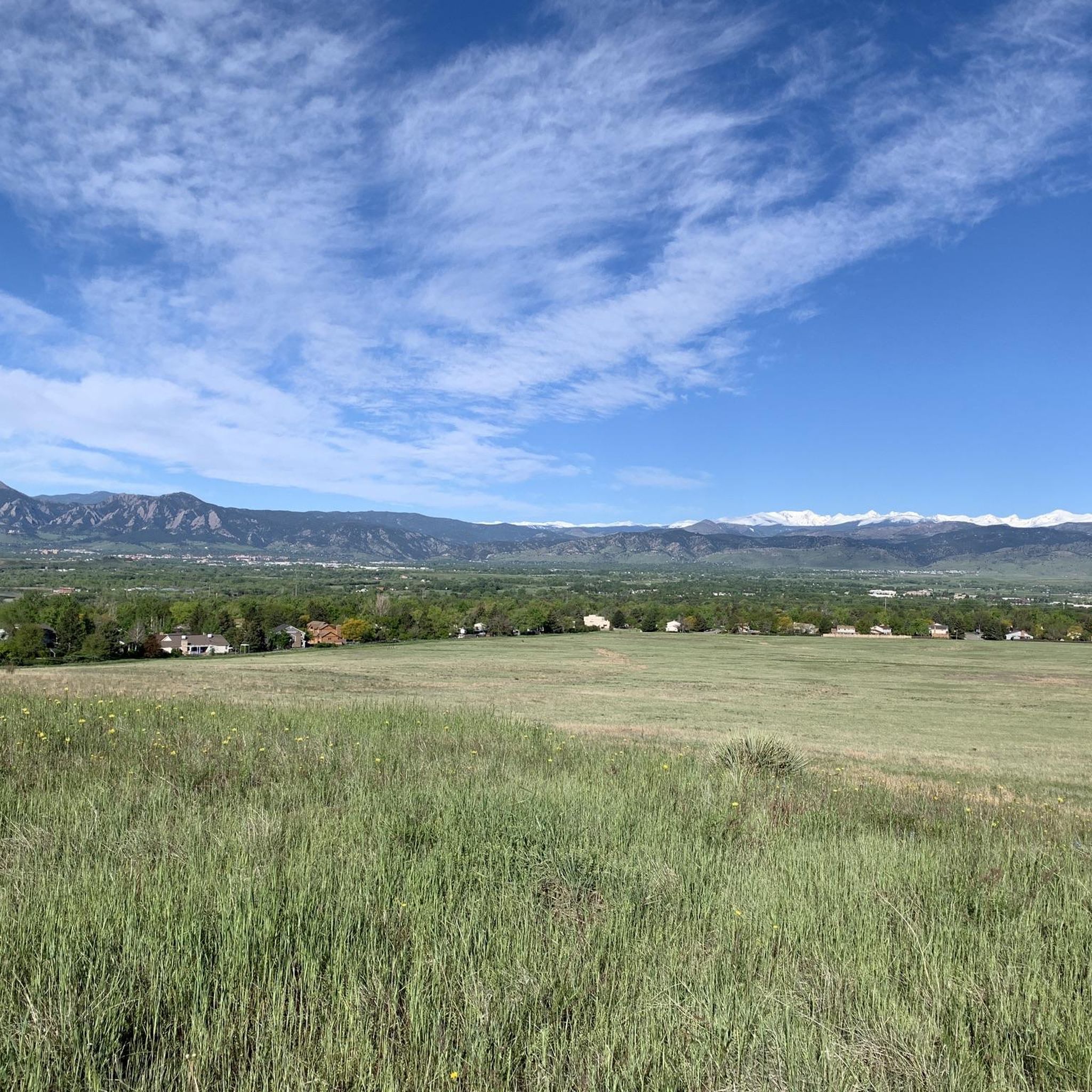
Road cycling routes around Lafayette offer a diverse network of trails connecting urban areas with scenic natural features. The region is characterized by varied terrain, including open spaces, views of the surrounding environment, and access to the foothills of the Rocky Mountains. Cyclists can expect routes with gentle gradients and significant elevation changes, utilizing segments of regional trails like Coal Creek and Rock Creek.
Best road cycling routes around Lafayette
- The most popular road cycling route is Lake Link Trail…
Last updated: October 16, 2026
98.7km
04:09
440m
440m
Embark on the Fort Lupton loop from Erie for a quintessential Colorado road cycling experience, traversing open prairie landscapes with the Rocky Mountains always in sight. This route offers a…
41
riders
Hard road ride. Very good fitness required. Some segments of this route may be unpaved and difficult to ride.

26
riders
24.2km
01:04
150m
150m
Easy road ride. Great for any fitness level. Mostly well-paved surfaces and easy to ride.
18
riders
Moderate road ride. Good fitness required. Mostly well-paved surfaces and easy to ride.
18
riders
141km
09:27
2,700m
2,700m
Hard road ride. Very good fitness required. Some segments of this route may be unpaved and difficult to ride.
Get access to more routes and recommendations from other explorers.
Already have an account?
Our route recommendations are based on thousands of hikes, rides, and runs completed by other people on komoot.
Start today with a free account
Your next adventure awaits.
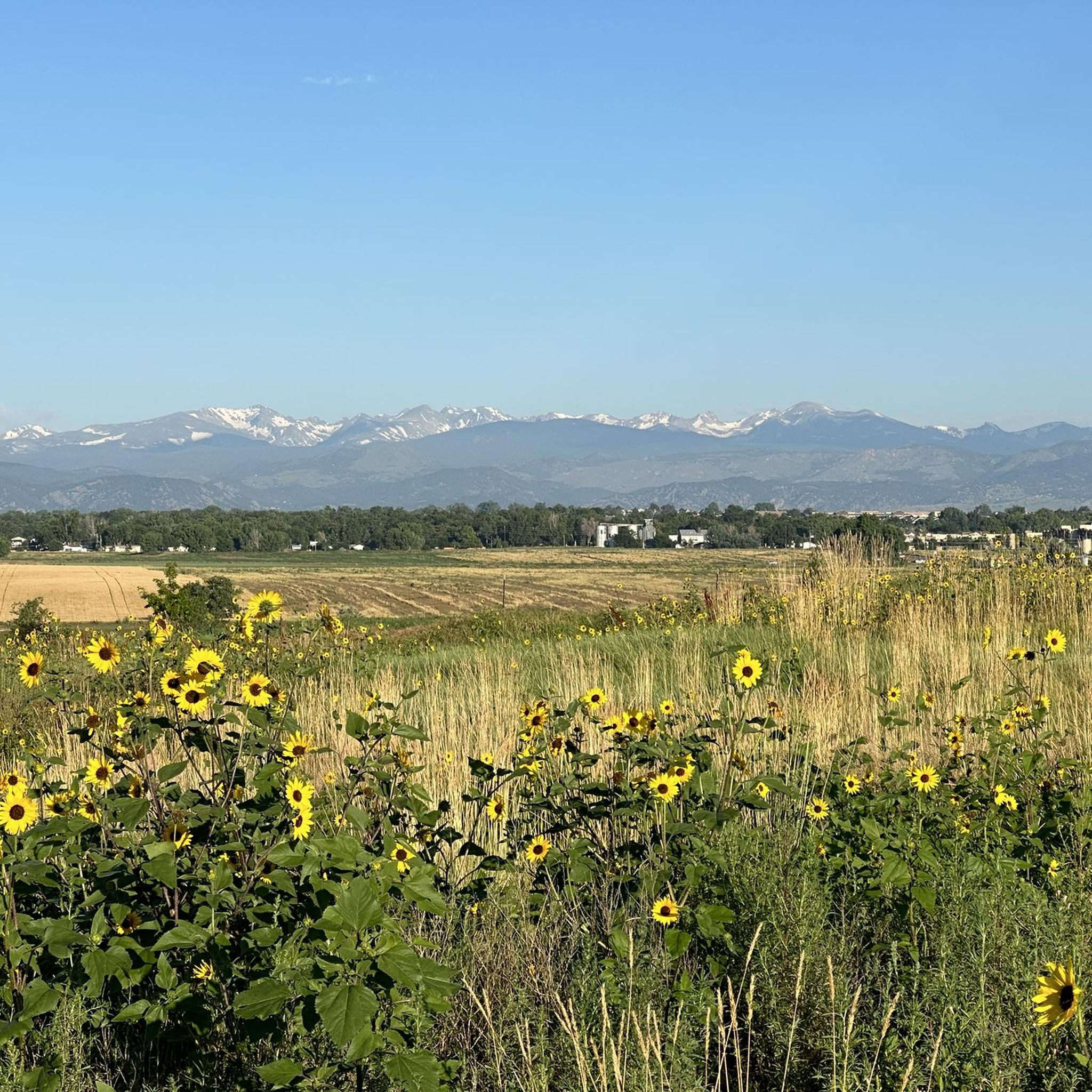
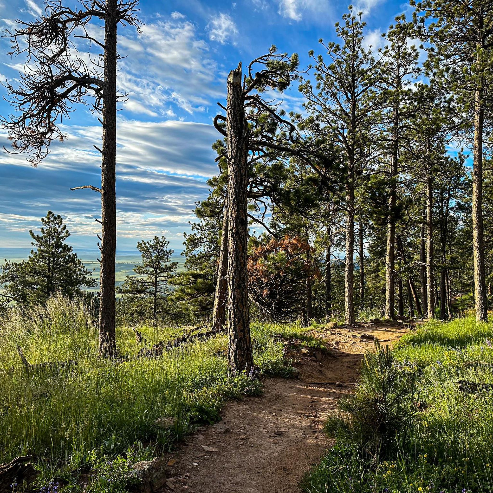
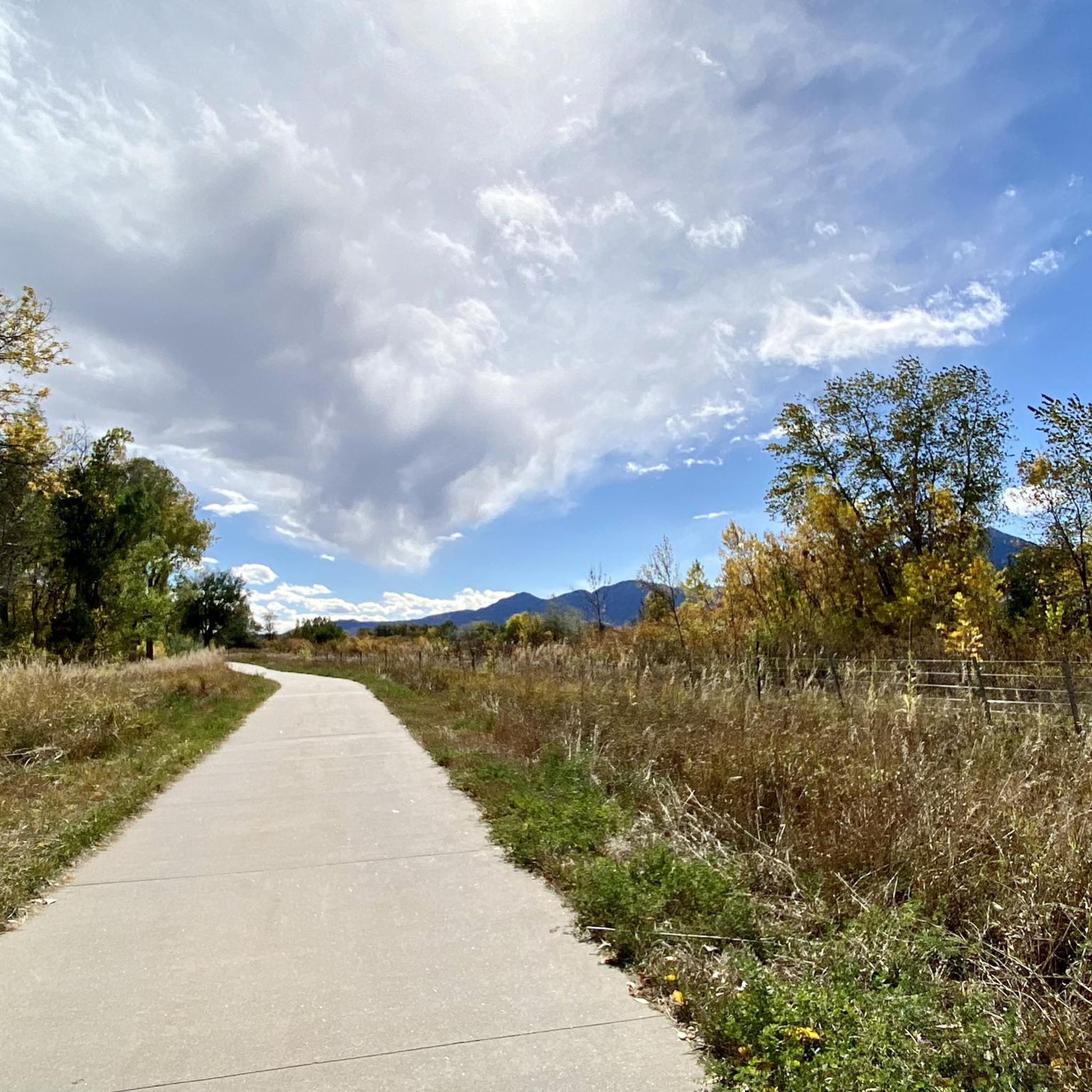
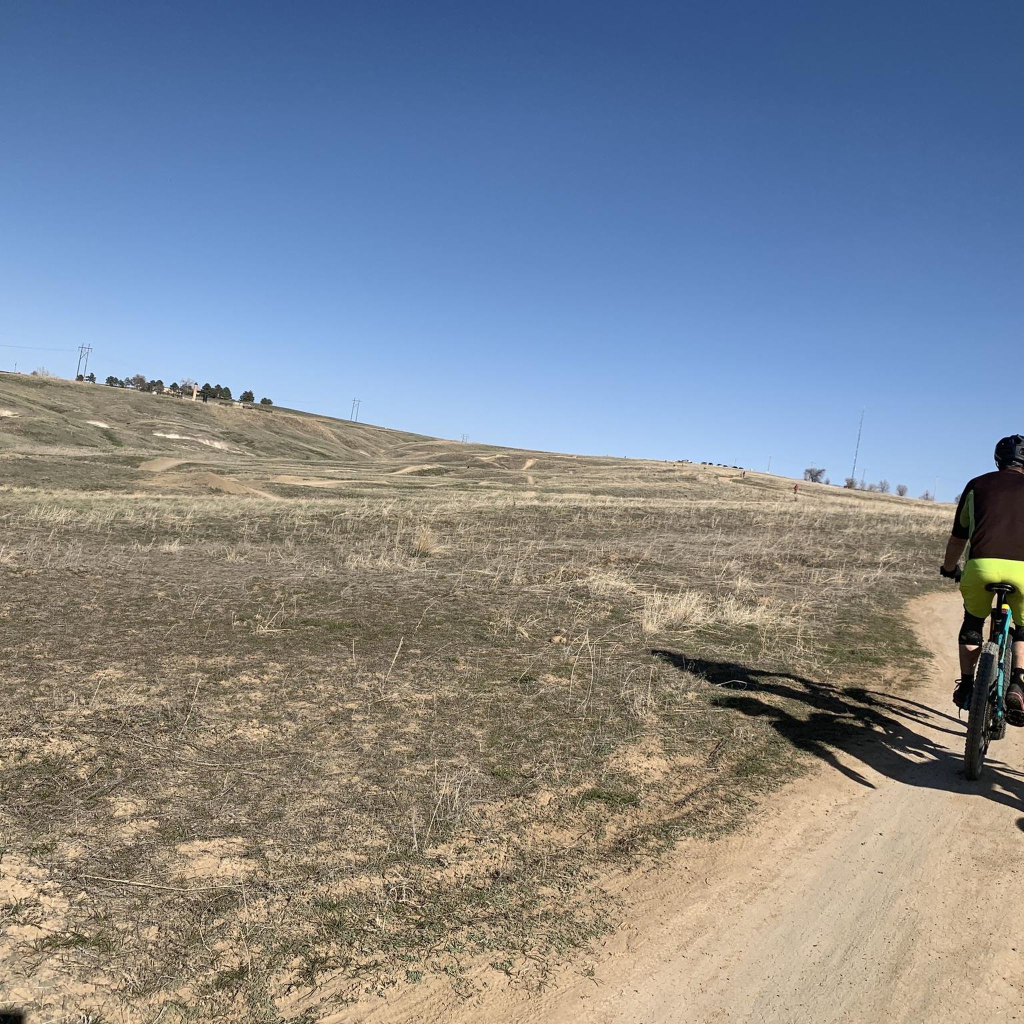
Tips from the Community


Great view of the Big Thompson River and Loveland Greeley Canal. This part of the Big Thompson River Trail crosses the canal with a pedestrian bridge.
0
0

If you’re looking for a tranquil escape, head to Erie Lake, a reservoir located just 1.8 miles from Lafayette, in Boulder County. This shallow lake is ideal for fishing and birdwatching, and offers stunning views of the Rocky Mountains. You can also enjoy a picnic on the grassy shore, or take a leisurely walk around the lake on the trail. For a more adventurous experience, book a hot air balloon ride and soar over the lake and the surrounding countryside. You’ll be rewarded with breathtaking panoramas and a sense of freedom.
0
0

This spot allows for views of the Big Thompson River along the Big Thompson River Trail, which is a section of the Loveland Recreation Trail.
0
0

Josephine Roche Open Space is a lovely area outside of Boulder, with a wide space perfect for a ride with no boundaries.
0
0

The Sawhill Ponds Wildlife Preserve offers access to a dozen pools of water, trails, picnic areas, restrooms, and plentiful parking. This is a great place to find a sense of nature without getting too far from the city.
0
0

This section of trail takes you along a paved route through a tunnel of trees by the golf course and Empson Ditch (Skunk Creek).
0
0

Fort Lupton is a small town along the banks of the South Platte River. The town sits at 4,908 feet in elevation and is home to the Vintage Flying Aero Museum, South Platte Valley Historic Park, Coyote Creek Golf Course, and numerous commercial businesses.
0
0
Frequently Asked Questions
What types of terrain can I expect on road cycling routes around Lafayette?
Road cycling routes in Lafayette, Colorado, offer a diverse network with varied terrain. You can expect open spaces, scenic views of the surrounding environment, and access to the foothills of the Rocky Mountains. Routes range from gentle gradients to those with significant elevation changes, often utilizing segments of regional trails like Coal Creek and Rock Creek.
How many road cycling routes are available in Lafayette?
Lafayette offers a wide selection of road cycling routes. There are over 100 cycling routes to explore in the area, with 18 specifically curated in this guide, catering to various skill levels.
What is the difficulty level of road cycling routes in Lafayette?
The road cycling routes around Lafayette cater to a range of abilities. While the majority, 14 out of 18, are rated as moderate, there are also 2 easy routes perfect for a relaxed ride and 2 difficult routes for those seeking a greater challenge. For example, the Davidson Mesa Overlook – Frank Varra Park loop is an easy option, while The Mountain Fountain – Coot Lake Dock loop is considered difficult.
When is the best time of year to go road cycling in Lafayette?
Road cycling in Lafayette is popular throughout the warmer months, with many routes being particularly enjoyed in July and September. The diverse trail network and scenic landscapes are accessible during these periods, offering pleasant conditions for riders.
Are there any family-friendly road cycling routes in Lafayette?
Yes, Lafayette offers family-friendly road cycling options. There are 2 easy routes available, which are generally suitable for families or those looking for a less strenuous ride. The Davidson Mesa Overlook – Frank Varra Park loop is an easy 19.2-mile (30.9 km) trail that leads through open spaces and past local parks.
What scenic features or landmarks can I see along the road cycling routes?
Many routes offer diverse scenery and access to natural features. You can enjoy views from the Davidson Mesa Overlook, explore trails like Cottonwood Trail and Big Dry Creek Trail, or pass by natural areas such as the Carolyn Holmberg Preserve at Rock Creek Farm. Some routes also pass by lakes like Boulder Reservoir and Twin Lakes.
What do other road cyclists enjoy most about road cycling in Lafayette?
The road cycling experience in Lafayette is highly rated by the komoot community, with an average score of 4.25 stars from over 5 reviews. Cyclists often praise the diverse trail network, the open spaces, and the scenic views towards the Rocky Mountains. Many appreciate the variety of options available for different ability levels.
Are there any long-distance road cycling routes for experienced riders?
Yes, for experienced riders seeking a longer challenge, Lafayette offers routes like The Mountain Fountain – Coot Lake Dock loop from Lafayette. This difficult route spans 91 miles (146.4 km) and features significant elevation changes, making it suitable for those with good fitness.
Can I find loop routes for road cycling in Lafayette?
Many of the popular road cycling routes in Lafayette are designed as loops, offering a convenient way to start and end your ride at the same point. Examples include the Lake Link Trail – Quail Creek Open Space loop and the Davidson Mesa Overlook – Marshall Road loop.
Where can I find more information about Lafayette's general trail network?
For broader information on Lafayette's extensive trail network, which includes connections to neighboring communities and various outdoor activities, you can visit the official city website: lafayetteco.gov/Trails.
Are there routes that offer views of the Rocky Mountains?
Yes, road cycling around Lafayette is characterized by its views towards the Rocky Mountains. Many routes traverse open spaces that provide glimpses of the majestic range, especially those in the western parts of the area, offering inspiring backdrops for your ride.
What is a popular moderate road cycling route in Lafayette?
A popular moderate route is the Centennial Trail – Amphitheater Overlook loop from Centaurus High School. This 29.2-mile (46.9 km) path offers varied elevation and takes approximately 2 hours 27 minutes to complete, providing a good balance of challenge and scenic enjoyment.
Most popular routes around Lafayette
Most popular attractions around Lafayette

Get inspired with the komoot mobile app


Explore more
Browse the best Road cycling routes in other regions.
