The best walks and hikes around Streesee
4.6
(7531)
24,476
hikers
589
hikes
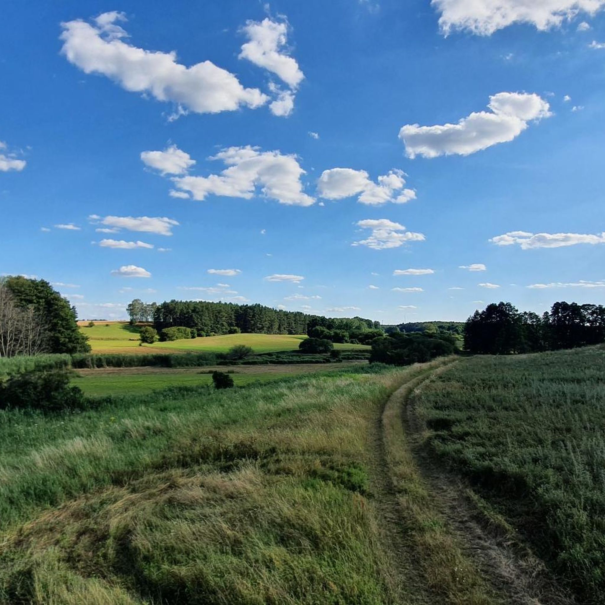
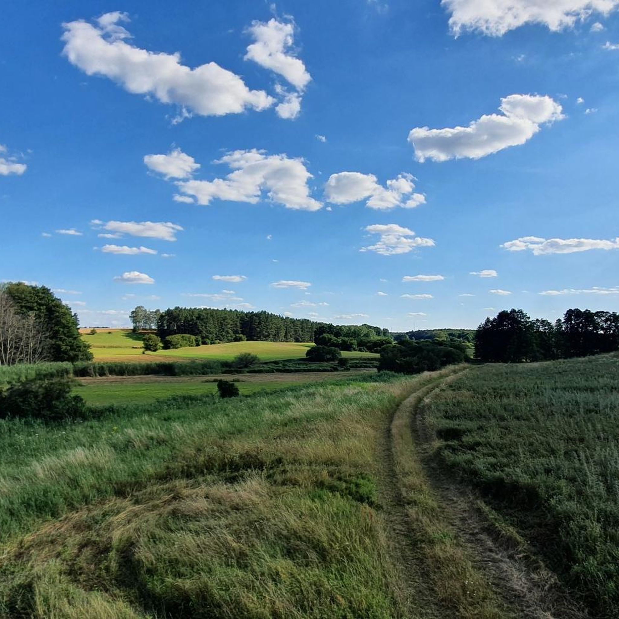
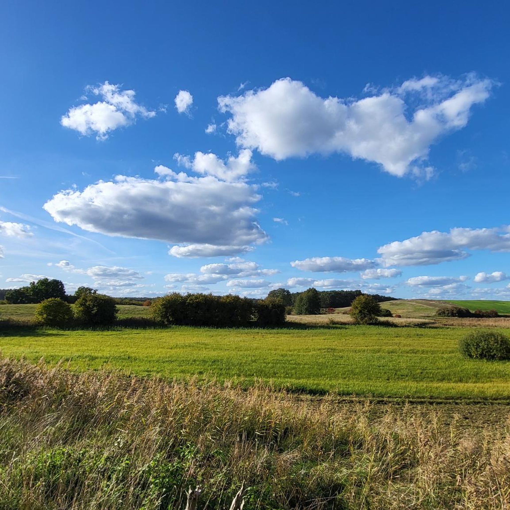
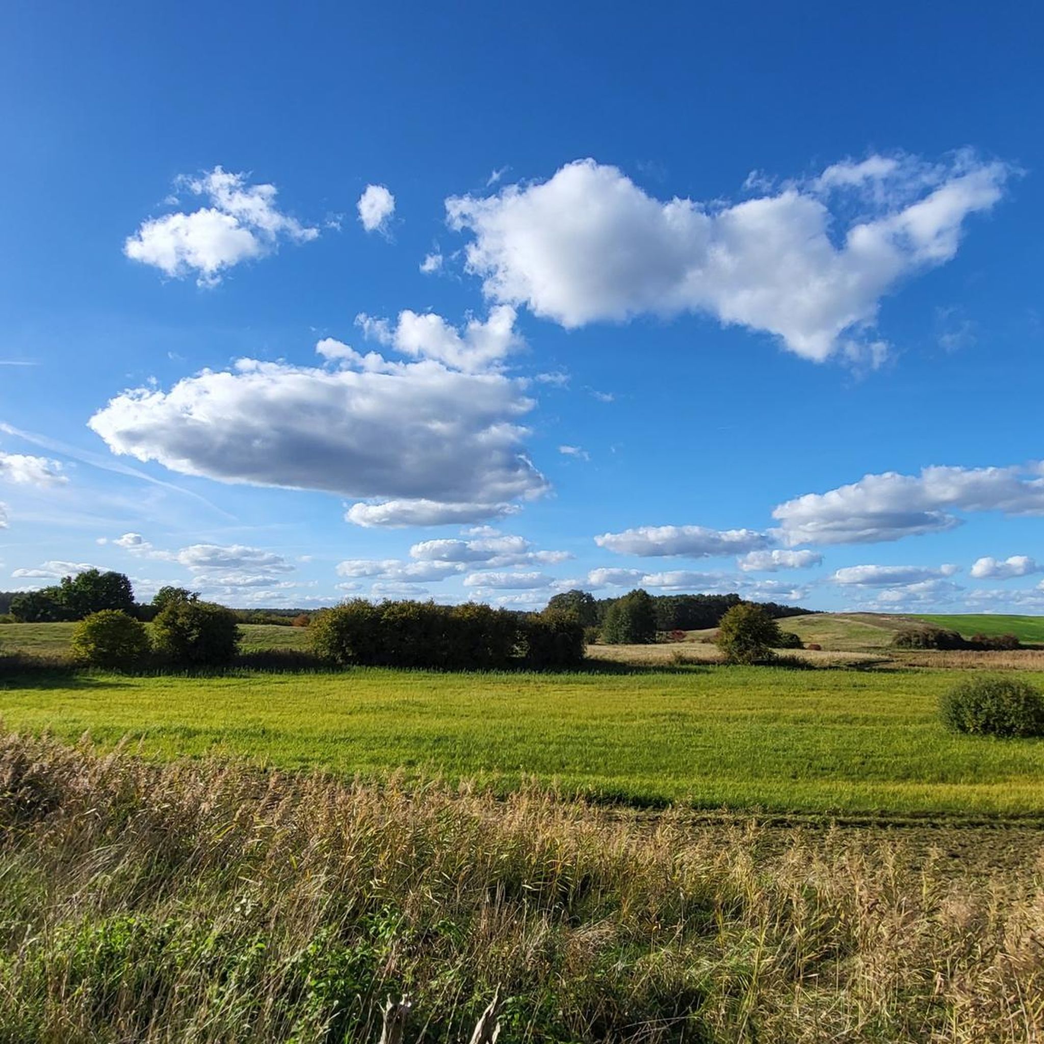
Hiking around Streesee offers a network of trails through a landscape characterized by lakes, wetlands, and streams. The region features generally flat to gently rolling terrain, with modest elevation changes across its routes. Hikers can explore diverse natural environments, including the Biesenthaler Becken Wetlands and various local lakes. This area provides opportunities for both shorter, easy walks and longer, more challenging excursions.
Best hiking trails around Streesee
- The most popular hiking route is Hellmühler Fließ – Biesenthaler Becken Wetlands loop…
Last updated: August 13, 2026
4.7
(181)
529
hikers
15.5km
04:02
100m
100m
Moderate hike. Good fitness required. Easily-accessible paths. Suitable for all skill levels.
4.9
(101)
270
hikers
14.9km
03:53
100m
100m
Moderate hike. Good fitness required. Easily-accessible paths. Suitable for all skill levels.

Sign up for free
4.8
(196)
528
hikers
16.9km
04:25
130m
130m
Moderate hike. Good fitness required. Easily-accessible paths. Suitable for all skill levels.
4.8
(25)
68
hikers
23.1km
05:59
130m
130m
Hard hike. Very good fitness required. Easily-accessible paths. Suitable for all skill levels.
4.7
(29)
95
hikers
8.44km
02:14
80m
80m
Moderate hike. Good fitness required. Easily-accessible paths. Suitable for all skill levels.
Get access to more routes and recommendations from other explorers.
Sign up for free
Already have an account?
Our route recommendations are based on thousands of hikes, rides, and runs completed by other people on komoot.
Start today with a free account
Your next adventure awaits.
Login or Signup
Tips from the Community

With a great sitting/break opportunity by the roadside.
2
0

A route that's easy to drive.
0
0

NABU Barnim invites you to a winter and autumn hike every year. This is superbly supervised by experts.
0
0

Beautiful circular walk around the Hellsee (approx. 8km) Unfortunately quite busy in summer. But in the cold season you can have peace and quiet there.
1
0


The Hellsee is a two-kilometer-long channel lake surrounded by mixed forest. It has an area of 42.91 hectares. The width varies between 40 and 300 meters. The average depth is 3 meters, the maximum depth is said to be 11 meters. The average visibility is almost 2 meters. At the northern tip of the lake, due to the inflows from the Obersee and the Krummen Lanke, there is a marshland that is crossed by a footbridge. Another marshland can be found in the southeast of the lake. The lake drains at Hellmühle via the Hellmühler Fließ, which runs northwards, into the Finow and further towards the Oder. Source Wikipedia
0
1

Along the way there were also some mushrooms for dinner.
0
0
Frequently Asked Questions
What is the general difficulty level of hiking trails around Streesee?
The hiking trails around Streesee cater to a range of abilities. The region features generally flat to gently rolling terrain, making many routes accessible. You'll find a good mix of easy strolls, moderate paths, and some more challenging, longer excursions. Out of nearly 600 routes, about half are rated easy or moderate, with a smaller number of more difficult options for experienced hikers.
Are there family-friendly hiking options in the Streesee area?
Yes, Streesee offers numerous family-friendly hiking options, particularly those rated as easy. These trails often feature minimal elevation changes and explore the scenic wetlands and lake shores, providing engaging experiences for all ages. An example of an easy, shorter route suitable for families is the Hazelnut Trail – Burgerwiesen Wetlands loop from Biesenthal, which is under 5 km.
Can I bring my dog on the hiking trails around Streesee?
Many trails around Streesee are dog-friendly, allowing you to enjoy the natural beauty with your canine companion. It's always recommended to keep dogs on a leash, especially in nature reserve areas like the Biesenthaler Becken Wetlands, to protect local wildlife. Always check local signage for specific regulations.
Are there circular hiking routes available in Streesee?
Yes, the Streesee region is well-suited for circular hikes, with many routes designed as loops that bring you back to your starting point. This allows for convenient exploration without needing to retrace your steps. Examples include the popular Hellmühler Fließ – Biesenthaler Becken Wetlands loop from Biesenthal and the Hellmühler Fließ – Hellsee loop from Biesenthal.
What are the best times of year to go hiking in Streesee?
The Streesee region is beautiful throughout much of the year. Spring and autumn offer pleasant temperatures and vibrant natural colors, making them ideal for hiking. Summer is also popular, especially for enjoying the lakes, though trails can be busier. Even in winter, with appropriate gear, the frozen landscapes can offer a unique and tranquil hiking experience.
Where can I find parking for hiking trails in Streesee?
Many trailheads and popular starting points in the Streesee area, particularly around towns like Biesenthal, offer designated parking facilities. It's advisable to check the specific route details on komoot for information on parking availability near your chosen starting point. Public transport connections are also available to some areas.
What kind of views and scenery can I expect on hikes around Streesee?
Hikes around Streesee offer diverse and picturesque scenery, primarily characterized by its numerous lakes, extensive wetlands, and meandering streams. You can expect tranquil views across water bodies like Hellsee and Lehn Lake, as well as opportunities to observe the unique flora and fauna of the Biesenthaler Becken Wetlands. The terrain is generally flat to gently rolling, providing expansive natural vistas.
Are there any cafes or refreshment stops along the hiking trails?
While many trails wind through natural areas, you can often find cafes or restaurants in the towns and villages located near popular hiking routes, such as Biesenthal. Some longer routes might pass by establishments, but it's always a good idea to check your chosen route beforehand and pack sufficient water and snacks, especially for more remote sections.
What do other hikers enjoy most about the Streesee region?
The Streesee region is highly rated by the komoot community, with an average score of 4.6 stars from over 5600 reviews. Hikers often praise the diverse natural environments, including the peaceful lakes and the unique Biesenthaler Becken Wetlands. The well-maintained network of trails and the variety of options for different skill levels are also frequently highlighted.
Are there any longer, more challenging hikes in Streesee?
Yes, for those seeking a greater challenge, Streesee offers longer routes that explore more extensive areas. These trails typically cover greater distances and may involve more varied terrain, though significant elevation changes are rare. An example of a more demanding route is the Wehrmühle Biesenthal – Lehn Lake loop from Biesenthal, which is over 23 km long and rated as difficult.
Can I access Streesee hiking trails using public transport?
Yes, several hiking trails in the Streesee region are accessible via public transport, particularly those starting from larger towns like Biesenthal. This allows hikers to reach trailheads without a car and offers flexibility for one-way routes if desired. It's recommended to check local public transport schedules and connections when planning your hike.
What kind of natural environments will I encounter while hiking in Streesee?
Hiking in Streesee will immerse you in a landscape defined by its rich aquatic features. You'll encounter numerous lakes, extensive wetlands like the Biesenthaler Becken, and meandering streams such as the Hellmühler Fließ. The trails often lead through mixed forests and open fields, offering a diverse range of habitats and scenic beauty.
Most popular routes around Streesee

Get inspired with the komoot mobile app


Explore more
Browse the best Hikes in other regions.
