The best road cycling routes around Cherry Hills Village
4.4
(101)
6,904
riders
150
rides
Road cycling routes around Cherry Hills Village often follow established trails along waterways and through local parks. The terrain is generally flat to gently rolling, characterized by urban green spaces, reservoirs, and river corridors like the Cherry Creek and South Platte River. Elevation gains are typically modest, making many routes accessible for various skill levels. The area provides a network of paved paths suitable for road bikes, connecting different points of interest.
Best road cycling routes around Cherry Hills Village
…Last updated: July 8, 2026
5.0
(1)
186
riders
98.6km
05:07
510m
510m
Hard road ride. Very good fitness required. Mostly well-paved surfaces and easy to ride.
53
riders
49.6km
02:24
250m
250m
Moderate road ride. Good fitness required. Some segments of this route may be unpaved and difficult to ride.

Sign up for free
12
riders
53.0km
02:28
190m
190m
Moderate road ride. Good fitness required. Mostly well-paved surfaces and easy to ride.
10
riders
64.9km
03:33
740m
740m
Moderate road ride. Good fitness required. Some segments of this route may be unpaved and difficult to ride.
6
riders
64.0km
03:13
610m
610m
Moderate road ride. Good fitness required. Mostly well-paved surfaces and easy to ride.
Get access to more routes and recommendations from other explorers.
Sign up for free
Already have an account?
Our route recommendations are based on thousands of hikes, rides, and runs completed by other people on komoot.
Start today with a free account
Your next adventure awaits.
Login or Signup

Tips from the Community

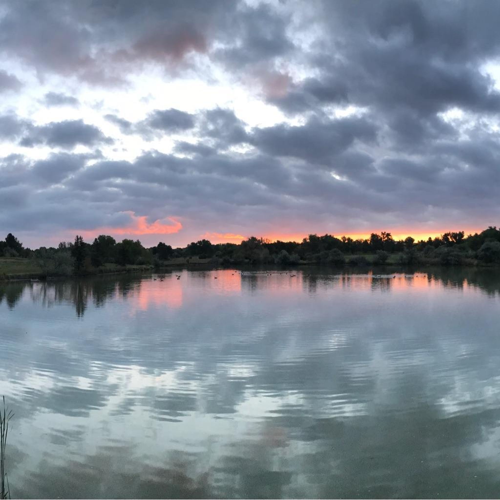
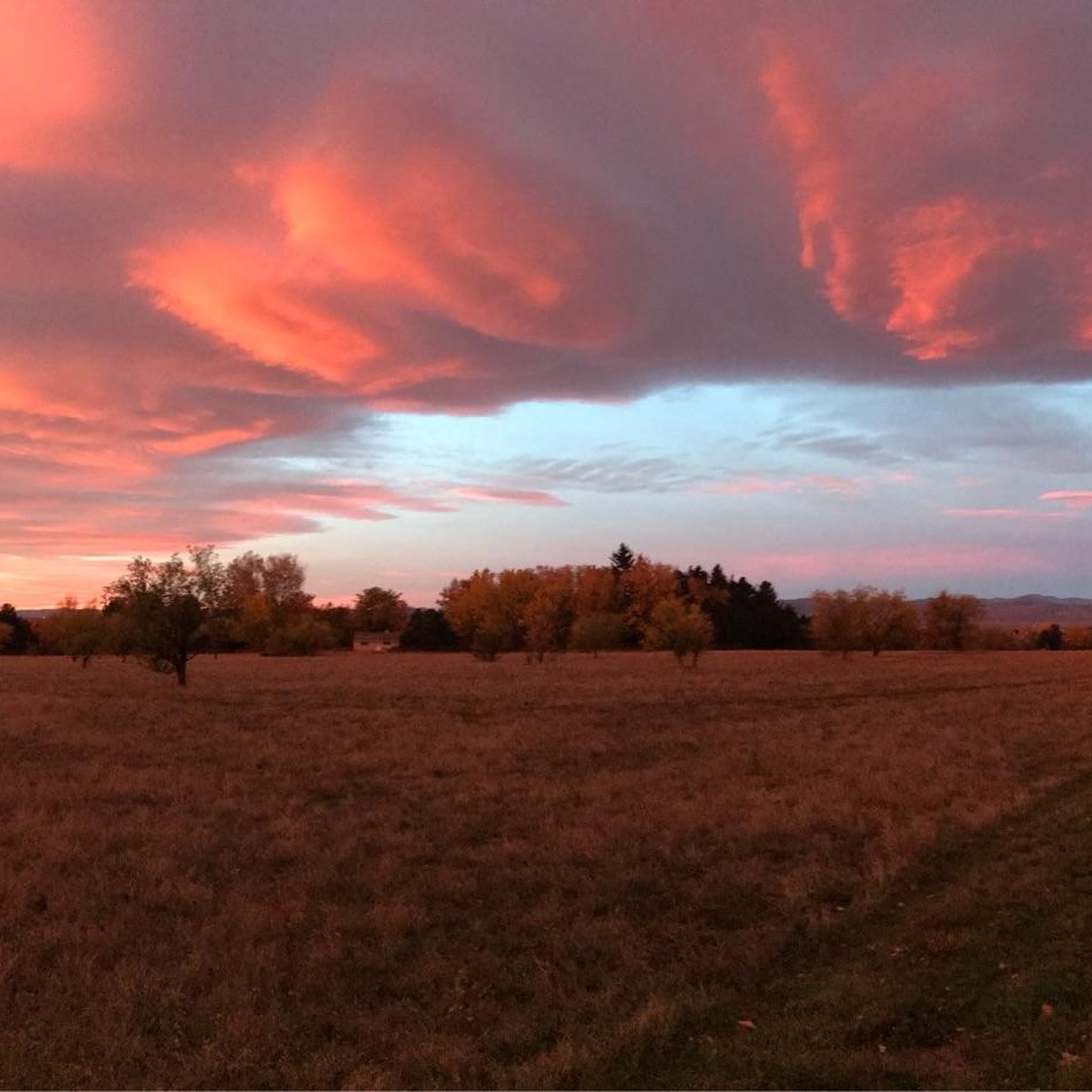
Explore the beauty of the Marjorie Perry Nature Preserve, with soft-surface trails winding through diverse habitats like grasslands, wetlands, and wooded areas. The preserve has views of the Rocky Mountains and opportunities for birdwatching and other wildlife viewing. To protect the ecosystem, visitors must stay on designated trails.
2
0

This 59-acre preserve located along the High Line Canal is a great place for bird and wildlife watching and a scenic setting to run in.
0
0

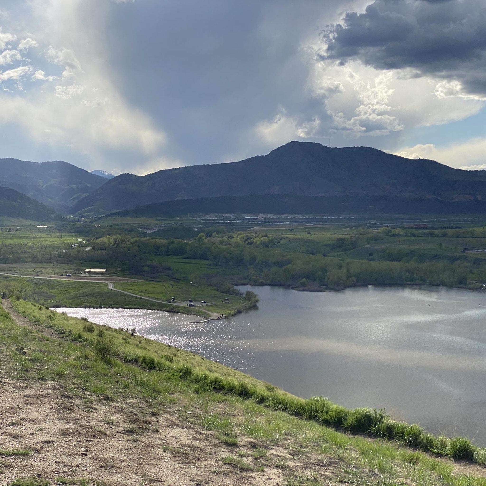
Cherry Creek State Park, in Denver, Colorado is a large, popular park right in the heart of the city. There is an 880-acre reservoir where you can boat, fish, paddleboard, and swim. The park has over 35 miles of multi-use trails for hiking, biking, and horseback riding, and the popular Cherry Creek Trail runs right through it, connecting the park with other locations and trails in the area. Facilities include multiple parking areas and trailheads, picnic areas, restrooms, a marina, and an off-leash dog area.
1
0

Great stop on the Platte River Trail, good coffer, place to sit and relx
1
0

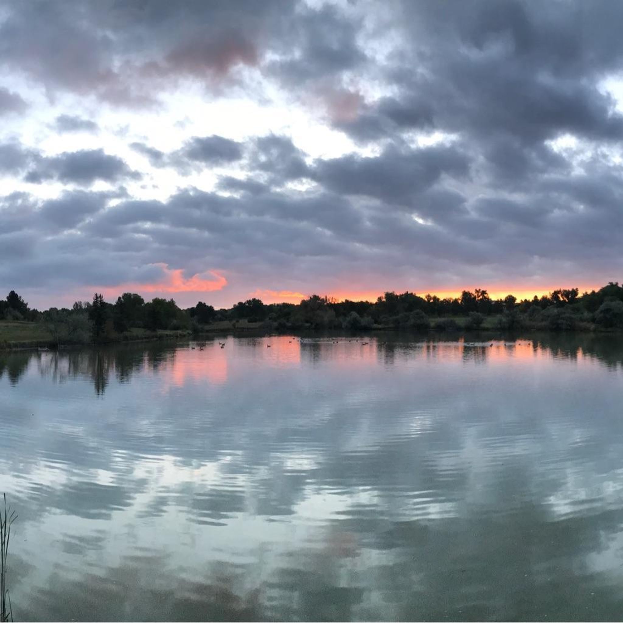
The South Platte River is one of the two main tributaries of the Platte River. The river starts in South Park and ends when it joins the North Platte River south of Ogallala, Nebraska.
0
0

This park features a well-maintained paved trail that is popular among hikers, runners, and bikers. It connects seamlessly with Cottonwood Park East and 17 Mile House Farm Park, allowing for easy extension of your journey. Additionally, it is a highly popular location for family photo shoots, making it an ideal spot for a picturesque break.
1
0
The South Platte River, originating in the mountains of central Colorado at the Continental Divide, flows a total distance of about 439 miles. The river is a hot spot for outdoor activities like fishing, kayaking, and wildlife watching. It flows through urban areas and the backcountry.
0
0

Cherry Creek State Park is big enough that it features a number of trailheads. This northern entrance is an easy way to access the park from Englewood and Glendale.
0
0
Frequently Asked Questions
How many road cycling routes are available around Cherry Hills Village?
There are over 130 road cycling routes around Cherry Hills Village, offering a wide range of options for different skill levels and preferences.
Are there easy road cycling routes suitable for beginners in Cherry Hills Village?
Yes, Cherry Hills Village offers many easy routes. Approximately 44 of the routes are classified as easy, making them ideal for beginners or those seeking a relaxed ride. An example is the Cherry Creek Trail North – Four Mile Historic Park loop from Southmoor, an easy 20.4-mile path.
What are some options for longer distance road cycling routes near Cherry Hills Village?
For those looking for longer rides, routes like the View of Cherry Creek Reservoir – South Platte Reservoir loop from Southmoor offer a substantial 59.4-mile journey, providing a good challenge and scenic views.
Are there challenging road cycling routes for experienced riders?
Yes, for experienced riders seeking a challenge, there are 15 difficult routes available around Cherry Hills Village. These routes typically feature greater distances and more significant elevation gains.
What kind of terrain can I expect on road cycling routes in Cherry Hills Village?
The terrain is generally flat to gently rolling, characterized by urban green spaces, reservoirs, and river corridors like the Cherry Creek and South Platte River. Routes primarily follow paved paths, making them suitable for road bikes.
What are some scenic viewpoints or attractions along the road cycling routes?
Many routes offer scenic views of natural features and local landmarks. You can enjoy sights like the Cherry Creek Reservoir and South Platte Reservoir. The South Platte River and Marjorie Perry Nature Preserve are also notable attractions along various paths.
Are there loop trails for road cycling in Cherry Hills Village?
Yes, many road cycling routes in the area are designed as loops, allowing you to start and end at the same point. Examples include the Village Greens South Park Pond – Smoky Hill Group Picnic Site loop from Southmoor and the Cherry Creek Trail North loop from Belleview.
What do other road cyclists think about the routes in Cherry Hills Village?
The road cycling routes in Cherry Hills Village are highly rated by the komoot community, with an average score of 4.4 stars from over 70 reviews. Cyclists often praise the well-maintained paved trails and the variety of scenic urban and natural landscapes.
Can I access road cycling trails in Cherry Hills Village using public transport?
While specific public transport connections to every trailhead vary, the Cherry Hills Village area is part of the wider Denver metropolitan region, which has a public transportation system (RTD). Many trails, especially those along major corridors like the Cherry Creek Trail and Platte River Trail, may have accessible points near bus or light rail stops. It's advisable to check specific route access points with RTD schedules.
What is the best time of year for road biking in Cherry Hills Village?
The spring, summer, and fall months generally offer the most pleasant conditions for road biking in Cherry Hills Village, with mild temperatures and less chance of snow. While winter cycling is possible, be prepared for colder temperatures and potential icy patches, especially on shaded sections of trails.
Are there any routes that pass by local parks or green spaces?
Absolutely. Many routes weave through local parks and urban green spaces. For instance, the Village Greens South Park Pond – Smoky Hill Group Picnic Site loop from Southmoor leads directly through parklands and past local ponds.
Where can I find parking for road cycling routes in Cherry Hills Village?
Parking availability varies by trailhead. Many popular trail access points, especially those connected to larger parks or recreational areas like Cherry Creek State Park, offer designated parking lots. For specific routes, it's recommended to check the route details on komoot for parking information near the starting point.
Most popular routes around Cherry Hills Village
Most popular attractions around Cherry Hills Village

Get inspired with the komoot mobile app


Explore more
Browse the best Road cycling routes in other regions.
