The best cycling routes around Bow Mar
4.6
(142)
2,511
riders
94
rides
Touring cycling routes around Bow Mar, Colorado, traverse a landscape characterized by serene lakes, open spaces, and extensive trail networks. The area is situated near the South Platte River corridor, offering flat, multi-use paths. Cyclists can experience views of the Front Range and access a variety of terrains, from paved greenways to gravel paths. This region provides a tranquil setting with convenient access to broader natural attractions.
Best touring cycling routes around Bow Mar
- The most popular touring cycling route…
Last updated: October 15, 2026
2.0
(2)
24
riders
23.7km
01:49
80m
80m
Easy bike ride. Great for any fitness level. Mostly paved surfaces. Suitable for all skill levels.
4.7
(3)
41
riders
Easy bike ride. Great for any fitness level. Mostly paved surfaces. Suitable for all skill levels.

5.0
(1)
27
riders
Moderate bike ride. Good fitness required. Mostly paved surfaces. Suitable for all skill levels.
4.0
(1)
21
riders
63.0km
04:48
260m
260m
Moderate bike ride. Good fitness required. Mostly paved surfaces. Suitable for all skill levels.
5.0
(1)
16
riders
Hard bike ride. Very good fitness required. Mostly paved surfaces. Suitable for all skill levels.
Get access to more routes and recommendations from other explorers.
Already have an account?
Our route recommendations are based on thousands of hikes, rides, and runs completed by other people on komoot.
Start today with a free account
Your next adventure awaits.



Tips from the Community

… this is just perfect for starting into the wild …
0
0

The "Waterton Canyon Recreation Area" trailhead sign here marks the Colorado Trail's Northern Terminus. It's a photo opportunity for thru-hikers continuing all the way south to Durango, a journey that stretches almost 500 miles.
0
0

Don’t miss the chance to see a SpaceX rocket booster up close. It’s mounted just above the Mary Carter Greenway in Littleton, inside a fenced lot by DISH Network. You can’t go inside, but the view from the bike path is more than enough for a quick, geeky photo stop. The site is open daily from 9 AM to 5 PM.
2
0
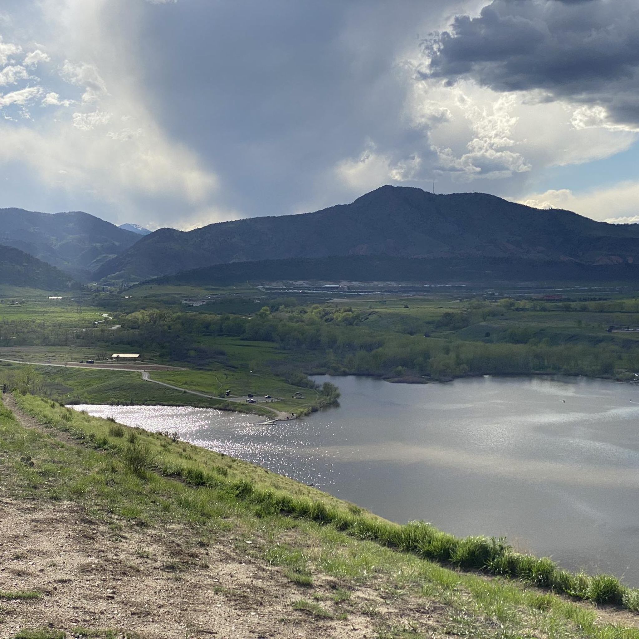
This is a nice overlook near Mt. Carbon, with expansive views of the Denver skyline, Bear Lake Park, and Mount Falcon Park in the background. Bear Creek Trail ends here, making it a great spot to pause, sit for a bit, and enjoy the views.
0
0

Brewery just off the Platte River Trail, good beers, pub food and biergarten, worth a stop if you need a break. Their Happy Hour is pretty solid too (Monday – Thursday, from 2-5pm).
0
0

The Chatfield Reservoir is a 1,423-acre lake in Chatfield State Park. There is a hiking path that runs alongside the water.
0
0
Bear Creek Lake Park spans 2,624 acres and is a great spot for hiking, biking, and horseback riding, as well as swimming, fishing, and boating year-round recreation. Open from April 1 to October 31, the campground is one of the closest full-service options near Denver. Visitors can also enjoy picnic shelters, paved and unpaved trails, an archery range, and scenic reservoirs.
1
0
This is the trail head for segment 1 of the Colorado Trail. There is a vault toilet and parking at the trail head.
0
0
Frequently Asked Questions
How many touring cycling routes are available around Bow Mar?
There are over 100 touring cycling routes around Bow Mar. The area offers a diverse selection, including 43 easy routes, 44 moderate routes, and 18 more challenging options, catering to various skill levels.
What kind of terrain can I expect on touring cycling routes near Bow Mar?
The terrain around Bow Mar is varied, offering something for every touring cyclist. You'll find flat, multi-use paved paths, particularly along the South Platte River corridor and the Mary Carter Greenway Trail. There are also gravel paths and more rugged single tracks within parks like Bear Creek Lake Park and Chatfield State Park, providing diverse cycling experiences.
Are there any family-friendly touring cycling routes in the Bow Mar area?
Yes, many routes around Bow Mar are suitable for families. The extensive greenway networks and paved paths, such as sections of the Mary Carter Greenway Trail, offer safe and enjoyable rides. Routes like the Mary Carter Greenway Trail – Lake views loop from Littleton are generally easy and provide pleasant scenery.
What are some notable landmarks or natural features I can see while cycling near Bow Mar?
Touring cycling routes near Bow Mar offer scenic views and access to several natural features. You can expect to see various lakes and reservoirs, including Bear Creek Lake, Big Soda Lake, and Chatfield Reservoir. Many paths also provide views of the majestic Rocky Mountains and follow the South Platte River.
Are there any circular touring cycling routes around Bow Mar?
Yes, several routes in the area are designed as loops, offering convenient circular tours. A popular option is the High Line Canal and Lee Gulch Trail Loop, which connects two significant trail systems. Another well-liked circular route is the Sumac Hill Farm viewpoint – Blackmer Lake loop from Littleton Downtown.
What is the best time of year for touring cycling in Bow Mar?
The Denver metro area, including Bow Mar, generally offers excellent cycling conditions from spring through fall. During these seasons, you can enjoy pleasant temperatures and lush scenery. While some trails may be accessible in winter, conditions can vary with snow and ice, so it's best to check local weather and trail reports.
Are dogs allowed on touring cycling trails near Bow Mar?
Many trails in the Bow Mar area are dog-friendly, but rules can vary by specific park or trail section. Generally, dogs are welcome on a leash. Always check the regulations for the particular trail you plan to ride, especially in designated open spaces or nature preserves like the Marjorie Perry Nature Preserve.
Where can I find parking for touring cycling routes near Bow Mar?
Parking is generally available at various access points for the extensive trail networks around Bow Mar. Many regional parks, such as Bear Creek Lake Park and Chatfield State Park, offer dedicated parking facilities. For trails like the Mary Carter Greenway or South Platte River Trail, you can often find parking lots at trailheads in nearby Littleton or Englewood.
Are there any permits required for cycling on trails around Bow Mar?
Most multi-use trails and greenways around Bow Mar do not require specific cycling permits for general use. However, some regional parks, like Chatfield State Park or Bear Creek Lake Park, may have entrance fees or require a state park pass for vehicle entry. It's always advisable to check the specific park's regulations before your visit.
What do other touring cyclists enjoy most about cycling in Bow Mar?
The touring cycling routes around Bow Mar are highly rated by the komoot community, with an average score of 4.6 stars from over 120 reviews. Cyclists often praise the extensive greenway networks, the scenic views of reservoirs and the Front Range, and the variety of terrain that accommodates different ability levels. Over 2,500 touring cyclists have used komoot to explore the area.
Are there any challenging touring cycling routes in the Bow Mar area?
Yes, for those seeking a more challenging ride, the Bow Mar area offers routes with significant elevation gain. An example is the Big Soda Lake – Dinosaur Ridge loop from Columbine High School, which covers over 40 miles and includes more than 600 meters of elevation gain, providing a demanding experience with rewarding views.
Can I access touring cycling routes near Bow Mar using public transport?
Public transportation options, primarily through RTD (Regional Transportation District), can provide access to trailheads for major cycling routes near Bow Mar. Many bus routes serve areas in Littleton and Englewood, which are close to popular trails like the Mary Carter Greenway and the South Platte River Trail. Checking RTD schedules and route maps for specific trailhead access is recommended.
Are there cafes or places to stop for refreshments along the touring cycling routes?
While Bow Mar itself is a residential area, the extensive trail networks connect to nearby towns like Littleton and Englewood, where you'll find numerous cafes, pubs, and restaurants. These towns offer convenient spots to refuel and relax along or after your ride, especially when cycling routes pass through or near their downtown areas.
Most popular attractions around Bow Mar

Get inspired with the komoot mobile app


Explore more
Browse the best Cycling routes in other regions.
