The best walks and hikes around South Monrovia Island
4.8
(31)
505
hikers
50
hikes
If you've ever tried to plan hiking around South Monrovia Island, you know how quickly the options can feel overwhelming. With so many trails winding through the foothills and into the mountains, it's tough to tell which routes are genuinely worth your time and effort, and which are just filler. That's where we come in. Our komoot community has explored, mapped, and reviewed countless routes here, and we've distilled that collective wisdom into a curated shortlist of the very best, saving you the guesswork.
Hiking around South Monrovia Island means stepping into a landscape defined by the majestic San Gabriel Mountains. You'll find everything from shaded canyon paths and chaparral-covered hillsides to more exposed routes offering expansive views across the valley. The terrain ranges from gentle foothill strolls to challenging mountain treks, with the higher elevations of the Angeles National Forest providing a distinct, more rugged experience.
If you're looking for a rewarding challenge with panoramic views, we'd point you towards Los Angeles Arboretum Trail, an easy 2.6 miles (4.2 km) route that's perfect for a relaxed outing. For something a bit more strenuous that still delivers on views, the Sunset Bench via Lower Clamshell Trail is a fantastic choice at 1.3 miles (2.2 km), offering a great payoff for a moderate climb. With an average rating of 4.8 stars from over 25 reviews, the komoot community clearly loves these trails, so start exploring and find your next favorite!
Last updated: June 3, 2026
5.0
(1)
18
hikers
4.15km
01:06
30m
40m
The Los Angeles Arboretum Trail offers a serene escape into a world of diverse flora and fauna, making it one of the top rated easy trails in the area. You'll meander through themed gardens, past the tranquil Baldwin Lake, and might even spot the iconic free-roaming peafowl that call this botanical garden home. It's a gentle 2.6-mile (4.2 km) hike with only 114 feet (35 metres) of elevation gain, perfect for a leisurely stroll.
Planning your visit is straightforward, with parking available at the Los Angeles County Arboretum and Botanic Garden in Arcadia. Check their website for current admission fees and operating hours before you go. This route is particularly family-friendly, and many sections are wheelchair accessible, making it a great option for a wide range of visitors looking for a relaxing outing.
Beyond the beautiful plant collections, the Arboretum is also a living museum, featuring historical landmarks like the Queen Anne Cottage and the Santa Anita Train Depot. It's a unique blend of natural beauty and cultural heritage, offering more than just a walk; it's an educational journey through different ecosystems and California's past. This trail is a hidden gem for wildlife viewing and photography spots.
2
hikers
2.17km
00:41
120m
10m
The Sunset Bench via Lower Clamshell Trail offers a delightful, albeit consistently uphill, journey through chaparral and oak woodlands, culminating in expansive panoramic views across the San Gabriel Valley from the famous Sunset Bench. You'll traverse a mix of fire road and potentially technical dirt sections, with the San Gabriel Mountains often visible through the foliage. During spring, the hillsides burst with wildflowers, and you might spot local wildlife like scurrying lizards or red-tailed hawks soaring overhead, making it a vibrant natural escape.
This easy 1.3-mile (2.2 km) hiking route, with 382 feet (116 metres) of elevation gain, typically takes around 40 minutes to complete. The trail is located in Monrovia Canyon Park, and while it's generally accessible, the steady incline can be a good workout for beginners. For the best experience, consider visiting during the golden hour to witness the sunset from the bench, but be prepared for potentially crowded parking during peak times.
The trail provides an excellent opportunity to immerse yourself in nature and escape urban sprawl, offering a blend of adventure and tranquility. It's a popular route for its high reward-to-effort ratio, especially for those seeking a quick, scenic outing. Dogs are permitted, making it a great option for a short hike with your canine companion.

Sign up for free
2
hikers
2.99km
00:46
20m
10m
If you're looking for a relaxed and accessible outing in Duarte, the Duarte Recreational Trail is an excellent choice. This easy 1.9-mile (3.0 km) hike offers gentle slopes and a minimal 73 feet (22 metres) of elevation gain, making it perfect for a leisurely 46-minute stroll. You'll enjoy the shade of numerous oak trees and catch glimpses of the San Gabriel Mountains, with the historic arched Oak Avenue Bridge adding a touch of character to the journey.
To plan your visit, head to Royal Oaks Park, which serves as a convenient starting point with parking and restrooms available. The trail is open from dawn to dusk, and you'll find amenities like drinking fountains along the way. It's a great option for beginners or families, and its well-maintained surface makes it suitable for walking, jogging, or cycling.
The Duarte Recreational Trail holds a unique place in the community, built on the historic Pacific Electric Railway path that once connected the region. Beyond its historical significance, it acts as a community hub, linking Royal Oaks Park, local schools, and other facilities. While Duarte offers more challenging trails in the nearby mountains, this route stands out as a multi-purpose, family friendly path for a peaceful escape.
1
hikers
7.78km
01:59
30m
20m
The Santa Fe Dam Loop offers an easy 4.8-mile (7.8 km) hike with a gentle 92 feet (28 metres) of elevation gain, typically taking about 1 hour and 59 minutes. You'll experience a diverse landscape, from paved sections to wilder dirt paths winding through chaparral and sandy stretches. Enjoy continuous views of the 70-acre lake, often with the impressive San Gabriel Mountains, including Mount Baldy, as a backdrop. Keep an eye out for abundant birdlife and native plants, and don't miss the sandy beach area dotted with palm trees, adding a unique Southern California vibe to your walk.
Planning your visit to the Santa Fe Dam Recreation Area is straightforward, with ample parking available. The trail is dog-friendly, though your leashed companion won't be able to join you on the Nature Center's interpretive trail. For the best experience, consider arriving early in the morning to enjoy cooler temperatures and increased chances of spotting wildlife. The park also features a Nature Center, a swim beach, and a water play area during the summer, making it a great destination for a full day out.
Originally developed for flood control by the U.S. Army Corps of Engineers, the Santa Fe Dam Recreation Area is often called a "hidden jewel of Southern California" due to its unique habitat and diverse plant community. The loop connects to the longer San Gabriel River Trail, offering options for extended adventures. This area serves as a "Trails Compass" for eastern Los Angeles County, providing a blend of manicured park landscapes and untamed natural sections, and even hosts the Renaissance Pleasure Faire in spring.
701m
00:11
0m
0m
Discover a surprising pocket of natural beauty at Peck Road Water Conservation Park, where a gentle 0.4-mile (0.7 km) hike takes you around tranquil lakes, offering a peaceful escape from city life. The terrain is mostly flat, a mix of dirt and paved paths, making it an easy 10-minute stroll with only 13 feet (4 metres) of elevation gain. You'll enjoy views of the San Gabriel Mountains and a chance to spot various bird species in this urban oasis. It's an ideal spot for a quick, refreshing walk.
Visiting Peck Road Water Conservation Park is simple, with free entrance and ample parking available. It's a great option for a spontaneous outing, and while it's accessible throughout the day, consider an evening visit to catch the stunning sunsets over the mountains. This short, easy route is perfect for families or anyone looking for a low-key outdoor experience without needing extensive planning.
More than just a pretty walk, Peck Road Water Conservation Park serves as a vital water conservation and wildlife habitat. Its lakes are crucial for LA County's flood control and groundwater recharge, and the park itself is a haven for over 250 bird species. This makes it a unique blend of natural beauty, educational focus, and a key resource within the urban core of Arcadia.
Get access to more routes and recommendations from other explorers.
Sign up for free
Already have an account?
Our route recommendations are based on thousands of hikes, rides, and runs completed by other people on komoot.
Start today with a free account
Your next adventure awaits.
Login or Signup


Tips from the Community

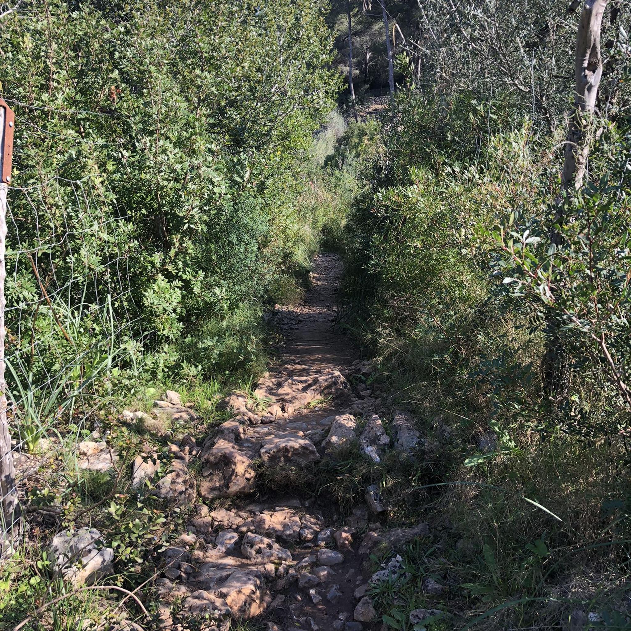
Mostly smooth fire road through Monrovia Hillside Wilderness, but with some steep and technical sections that might challenge beginners. Ride counterclockwise from Canyon Park and follow the signs—many side trails cross private land. The descent includes tight switchbacks and a short singletrack section. You can stick to the main road or take the “advanced” trail, Cactus Road, for more climbs, exposure, and a fun technical finish.
0
0

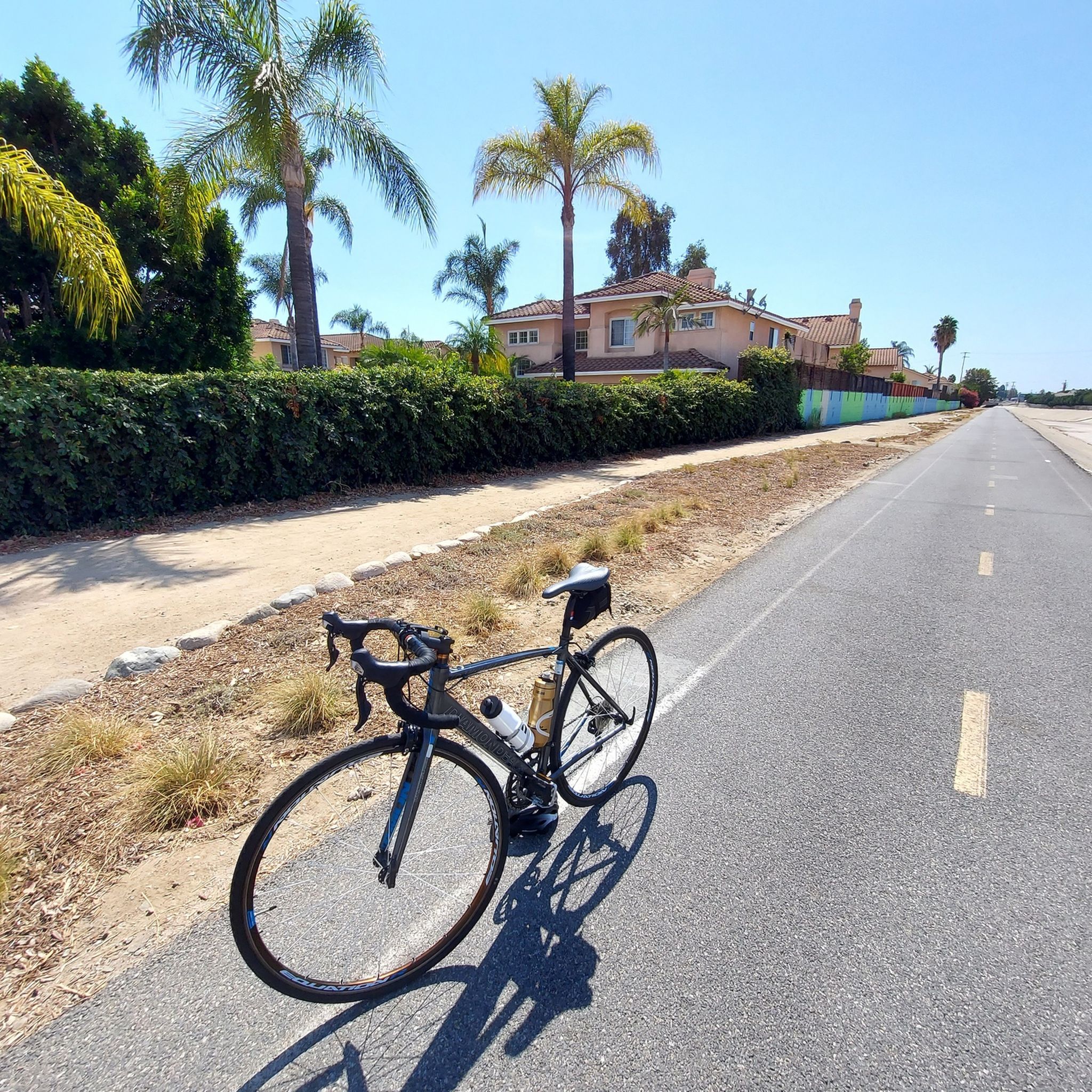
Leafy park with lawns and shaded seating, restrooms, drinking water fountains, and a bike repair station. Great for a break or as trailhead to ride west along the dedicated Duarte Bike Trail, a multi-purpose trail that was founded in 1977. It stretches 1.6 miles from Royal Oaks Park at Vineyard Avenue to Buena Vista Avenue. Next to the paved cycling path runs a dirt jogging and equestrian trail shaded by oak trees. The gently sloped trail follows the historic Pacific Electric Railway route, passing an arched bridge that once carried Red Trolley Cars to Los Angeles.
1
0
Frequently Asked Questions
What exactly is 'South Monrovia Island'?
"South Monrovia Island" is a name sometimes used to refer to the hiking areas in and around Monrovia, California. The region is not an actual island but is nestled at the foothills of the San Gabriel Mountains, offering a variety of trails through canyons and chaparral-covered hillsides.
Are there any easy hikes suitable for beginners or families?
Yes, the area offers several easier options. A great choice for a family outing is the Sturtevant Falls via Sturtevant Trail. It's a relatively short 3.1-mile (5.0 km) hike that follows a creek to a scenic waterfall, making it engaging for all ages.
Can I bring my dog on the trails?
Many trails in the Monrovia area and the surrounding Angeles National Forest are dog-friendly, provided your dog is kept on a leash. However, park-specific rules can vary. For instance, Monrovia Canyon Park has its own regulations, so it's always best to check the specific rules for the park or preserve you plan to visit before you go.
Are there any waterfalls to see on the hikes?
Absolutely. The region is known for its beautiful waterfalls, especially after rainy periods. The Monrovia Canyon Waterfall is a highlight within the popular Monrovia Canyon Park. Another well-loved destination is Sturtevant Falls, located in the Angeles National Forest, which is accessible via a beautiful canyon trail.
What are the parking options for the main trailheads?
Parking is available at major trail access points like Monrovia Canyon Park, which is a primary gateway to many trails. This park can get very busy, especially on weekends, so arriving early is recommended. Some trailheads, like those for the Monrovia Hillside Preserve, start in residential areas with street parking, so be sure to observe all posted signs.
Are there any challenging, long-distance hikes available?
Yes, for those seeking a strenuous challenge, the San Gabriel Mountains offer numerous options. The Mount Wilson via Sturtevant Trail loop is a demanding 12-mile (19.3 km) trek with significant elevation gain, rewarding hikers with incredible views from the summit.
What kind of wildlife might I see?
The trails wind through diverse habitats, offering chances to see a variety of wildlife. Keep an eye out for mule deer, coyotes, and numerous bird species. In more remote canyon areas, it's also possible to spot bobcats or even black bears, so it's important to be aware of your surroundings and store food properly.
Are there any good spots to watch the sunset?
For a rewarding view at the end of the day, locals often head to Sunset Bench. It's a peaceful spot that offers a place to reflect and enjoy panoramic views as the sun goes down over the San Gabriel Valley.
What do other hikers think of the trails in this area?
The trails around Monrovia are highly regarded by the komoot community, with an average rating of 4.7 stars. Hikers frequently praise the mix of shaded canyon paths and exposed ridgelines with expansive views, as well as the accessibility to stunning natural features like waterfalls.
How many hiking trails are there around South Monrovia Island?
You can explore over 15 designated hiking routes in the region. These range from easy, family-friendly walks in local parks to difficult, full-day ascents into the San Gabriel Mountains, providing options for every skill level.
Are there any circular or loop trails?
Yes, there are several loop trails that allow you to enjoy a varied hike without backtracking. For a difficult but rewarding option, consider the Mt. Wilson Trail via Bailey Canyon Trail loop, which combines different paths for a comprehensive mountain experience.
What should I pack for a day hike in this area?
It's essential to bring plenty of water, as many trails can be exposed and hot, especially in summer. Sun protection like a hat and sunscreen is crucial. Also, wear sturdy hiking shoes for the rocky and uneven terrain. Given the variable mountain weather, packing layers is always a wise choice.
Most popular attractions around South Monrovia Island

Get inspired with the komoot mobile app


Explore more
Browse the best Hikes in other regions.
