The best MTB trails around Kummerower Lake
4.6
(71)
293
riders
33
rides
Mountain bike trails Kummerower See are set within the Mecklenburg Switzerland and Lake Kummerow Nature Park, characterized by its gently rolling hills, extensive lowlands, and a mix of fields and forests. The landscape, shaped by the Ice Age, features upthrust moraines and diverse terrain suitable for various cycling preferences. This region offers a network of routes that traverse picturesque villages and provide expansive views of the surrounding natural environment.
Best mountain bike trails around Kummerower Lake
- The most popular mountain…
Last updated: October 10, 2026
4.4
(5)
8
riders
16.5km
01:05
80m
80m
Easy mountain bike ride. Great for any fitness level. Suitable for all skill levels.
4.5
(6)
7
riders
27.4km
01:45
120m
120m
Easy mountain bike ride. Great for any fitness level. Suitable for all skill levels.

7
riders
17.3km
00:55
60m
60m
Easy mountain bike ride. Great for any fitness level. Suitable for all skill levels.
5.0
(1)
4
riders
43.3km
02:32
160m
160m
Moderate mountain bike ride. Good fitness required. Suitable for all skill levels.
5.0
(1)
7
riders
28.8km
01:39
130m
130m
Easy mountain bike ride. Great for any fitness level. Suitable for all skill levels.
Get access to more routes and recommendations from other explorers.
Already have an account?
Our route recommendations are based on thousands of hikes, rides, and runs completed by other people on komoot.
Start today with a free account
Your next adventure awaits.

Tips from the Community

The new building was founded by the Grand Duchess Dowager Marie (widow of Grand Duke George of Mecklenburg-Strelitz, née Princess of Hesse-Kassel) in memory of her two children George (lord of Remplin Castle) and Caroline, who had died in 1876 within just 20 days.
0
0
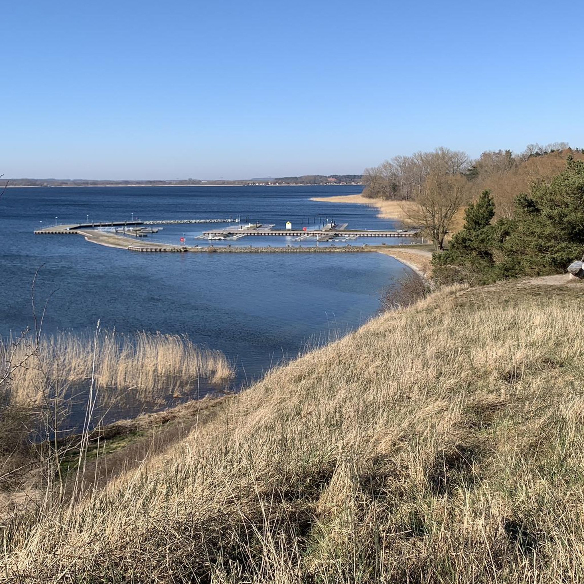
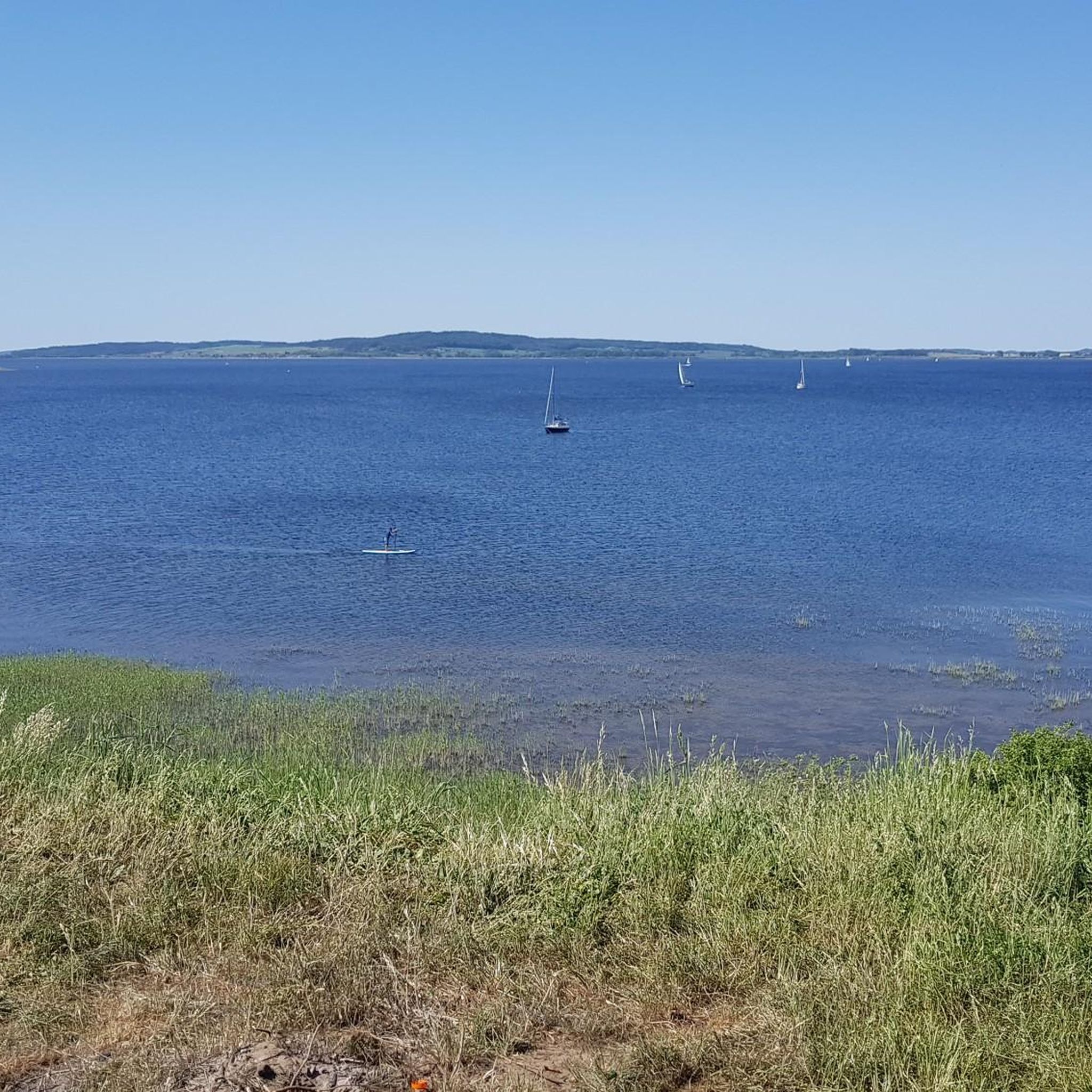
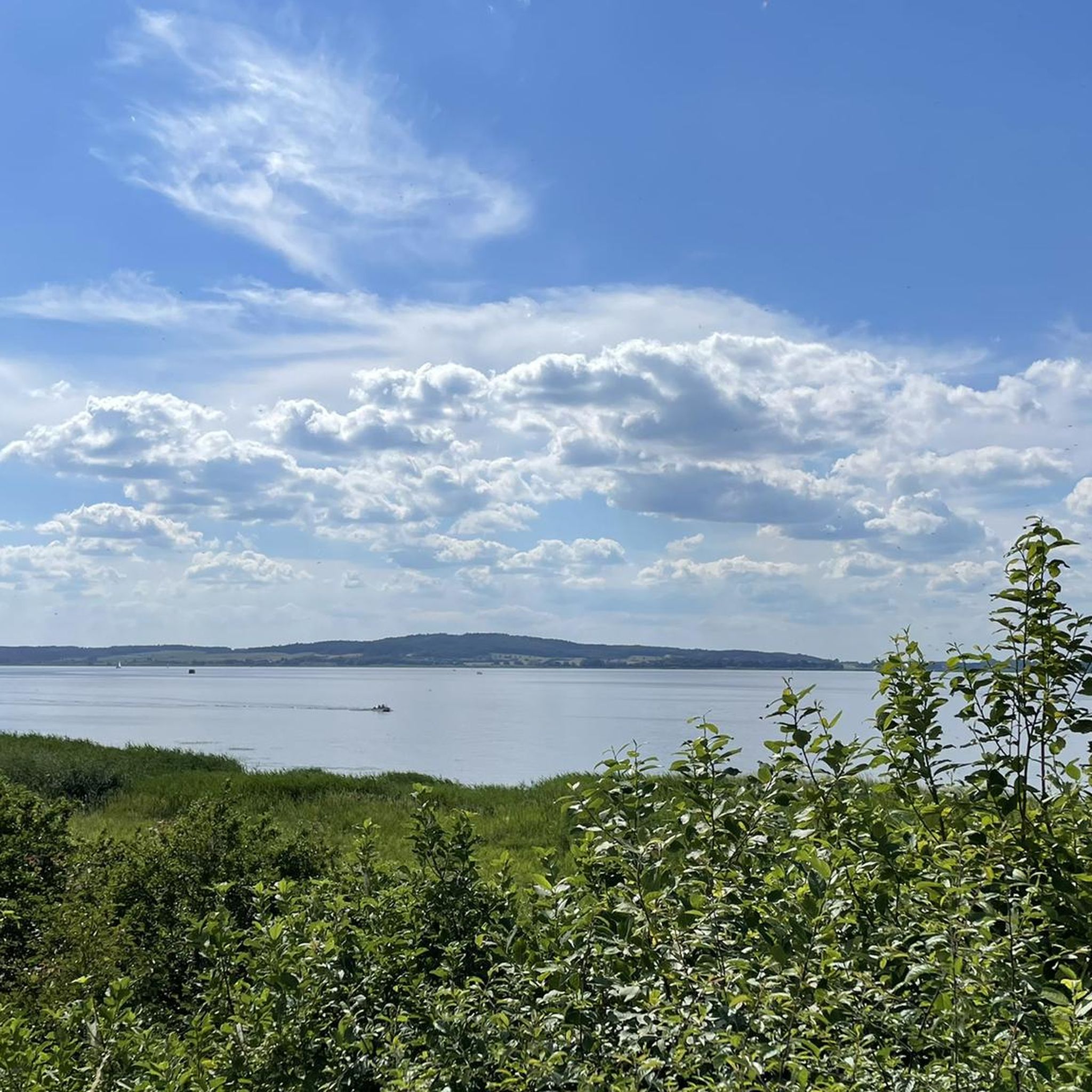
The Kummerower See, with approx. 33 km², is the fourth largest lake in Mecklenburg-Vorpommern (around 11 km long, 4 km wide on average). It lies only about 30 cm above sea level and is an important resting and feeding ground for waterfowl (over 170 documented bird species).
0
0
In 1973 the ferry house was demolished due to dry rot; in 1974 the ferry, which needed repairs, was deliberately grounded. After the fall of the Wall, a water sports campsite was established in 1997. Today, the "Fähre Aalbude" ferry operated by MVVG runs seasonally (approx. May–October, sometimes longer) for pedestrians and cyclists between Aalbude and Verchen.
0
0
The region is characterized by ice age-formed push moraines (hill chains over 100 m, highest elevation approx. 127–128 m) and lowlands. Embedded within these are the large lakes with water levels just above sea level (Kummerower See approx. 0.2 m, Malchiner See approx. 0.6 m above NHN).
0
0
The confluence of the Tollense and Peene rivers near Haus Demmin is located southeast of the Hanseatic city of Demmin and forms a central point of the so-called "Dreistromland" (Peene, Tollense and shortly thereafter the Trebel).
1
0
1. Lübecker Speicher (ca. 1815) The oldest of the three. It is a slender, rectangular half-timbered building with four storage floors and a mansard roof made of beaver-tail tiles. The historical hoisting technology and fill height markings for various types of grain have been preserved. In 1910, a single-story extension was added to the west. 2. Berliner Speicher (1900) A four-story, brick-clad building with a five-story stairwell as a projection. From 1904 onwards, grain was also delivered via the Demmin harbor railway. The building is a listed monument, currently empty and in need of renovation. Cultural use is being sought (supported by the association "Berliner Speicher Demmin"). 3. Klänhammer Speicher (1935–1940) The largest and youngest of the three. The six- to seven-story brick-clad granary was built from 1935 for the wholesale merchant Otto Klänhammer and extended until 1940. It was one of the Reichseinheitsgetreidespeicher (modern concrete silo). For a long time, it served for grain storage (also with later added round silos). The city of Demmin has since acquired it and plans to redevelop the harbor area into a leisure and tourism zone.
0
0
Demmin lies in the so-called „Land of Three Rivers“ at the confluence of the Peene, Tollense, and Trebel rivers. Demmin joined the Hanseatic League in 1283 and was a member until around 1607. The favorable location on the rivers made the city a trade hub in the Baltic Sea region. Until the late 19th century, smaller seagoing vessels regularly called at Demmin. The harbor was expanded and the Peene deepened; around 1900, grain trading, a sugar factory, and other industries flourished here.
0
0
An approx. 10 km long, wild and romantic breakthrough valley south of Malchin. It extends approximately from Peenhäuser/Demzin to the area of Malchin (to the railway bridge north of the B 104).
0
0
Frequently Asked Questions
How many mountain bike trails are available around Kummerower Lake?
There are nearly 40 mountain bike trails around Kummerower Lake, offering a diverse range of experiences within the Mecklenburg Switzerland and Lake Kummerow Nature Park. These routes traverse gently rolling hills, extensive lowlands, and a mix of fields and forests.
What kind of terrain can I expect on the mountain bike trails around Kummerower Lake?
The terrain around Kummerower Lake is characterized by gently rolling hills, extensive lowlands, and a mix of fields and forests. The landscape, shaped by the Ice Age, includes upthrust moraines over 100 meters high, providing varied terrain from easy paths to more challenging routes with partly steep ascents.
Are there mountain bike trails suitable for families with children?
Yes, many trails around Kummerower Lake are suitable for families. For an easy and scenic option, consider the View of Kummerower See – View of Lake Kummerow loop from Verchen, which is 10.2 miles (16.4 km) long and offers beautiful views of the lake.
What is the best time of year for mountain biking around Kummerower Lake?
The region around Kummerower Lake is enjoyable for mountain biking throughout the warmer months, from spring to autumn. The diverse landscape, with its mix of fields and forests, offers pleasant conditions and scenic views during these seasons.
Are there any circular mountain bike routes around Kummerower Lake?
Yes, many of the mountain bike routes around Kummerower Lake are designed as loops. An example is the Demmin Harbor – Demmin Grain Warehouse loop from Verchen, an easy 17.0 miles (27.4 km) path that explores the area around Demmin.
What interesting sights or landmarks can I see along the mountain bike trails?
While mountain biking, you can encounter various interesting sights. The region is home to Moorbauer Restaurant and Ferry Crossing, which requires a unique canal crossing. You might also pass by historic sites like the Kalensches Tor – Remplin Church and Stork Nest loop from Malchin, leading through historical sites and natural habitats.
Are there any moderate or more challenging mountain bike trails available?
Yes, while many trails are easy, there are also moderate options for those seeking a bit more challenge. For instance, the Kalensches Tor, Malchin – Aalbude Ferry loop from Malchin is a moderate 44.7 km route with varied elevation. The region's Ice Age-formed moraines contribute to some partly steep ascents on certain routes.
Can I bring my dog on the mountain bike trails around Kummerower Lake?
Many trails in the Mecklenburg Switzerland and Lake Kummerow Nature Park are suitable for dogs, especially those that pass through forests and open fields. It's always recommended to keep your dog on a leash, especially in nature protection areas and near wildlife, and to check specific trail regulations if available.
What do other mountain bikers enjoy most about the trails in Kummerower Lake?
The mountain bike trails around Kummerower Lake are highly rated by the komoot community, with an average score of 4.8 stars from over 60 reviews. Riders often praise the scenic views of the lake, the diverse landscape of rolling hills and forests, and the variety of routes suitable for different skill levels.
Are there places to eat or get refreshments near the mountain bike trails?
Yes, there are options for refreshments. The Moorbauer Restaurant and Ferry Crossing is a unique spot accessible by crossing a canal. Additionally, the routes often pass through picturesque villages where you may find local cafes or restaurants.
What kind of wildlife can I spot while mountain biking in the region?
The fen landscape of the Mecklenburg Switzerland and Lake Kummerow Nature Park is a haven for various birds, including cranes, eagles, herons, and ducks. You might also spot other wildlife like hares, roe deer, and pheasants, especially in the quieter forest and lowland areas.
Are there any trails that offer particularly good views of Kummerower Lake?
Absolutely. The View of Lake Kummerow – View of Lake Kummerow loop from Meesiger is a moderate 21.9 km route specifically designed to showcase the beautiful vistas of Kummerower Lake. Many other routes also offer glimpses of the lake and its surroundings.
Most popular routes around Kummerower Lake
Most popular attractions around Kummerower Lake

Get inspired with the komoot mobile app


Explore more
Browse the best MTB trails in other regions.
