The 10 Most Amazing Peaks around Santa Venetia
Best mountain peaks around Santa Venetia are found in the surrounding elevated terrain. While Santa Venetia features flat wetlands, adjacent areas like China Camp State Park and San Pedro Mountain Open Space Preserve offer significant hills and elevated points. These areas provide recreational opportunities and contribute to the scenic backdrop of the region. Visitors can find diverse landscapes and varying trail lengths suitable for outdoor activities.
Best mountain peaks around Santa Venetia
- The most popular mountain peaks is Mount Tamalpais…
Last updated: October 11, 2026
Mount Tamalpais — East Peak
Highlight • Summit
Tip by

Horse Hill Bike Path
Highlight (Segment) • Cycleway
Tip by
Sign up now to discover places like this
Get recommendations on the best single tracks, peaks, & plenty of other exciting outdoor places.
Mount Tamalpais East Peak and Visitors Center
Highlight • Summit
Tip by

White Hill Summit on Sir Francis Drake Boulevard
Highlight • Summit
Tip by
Railway Grade Fireroad Trailhead at East Ridgecrest Blvd
Highlight • Trail
Tip by
Sign up for free to discover even more peaks around Santa Venetia.
Already have an account?
Start today with a free account
Your next adventure awaits.
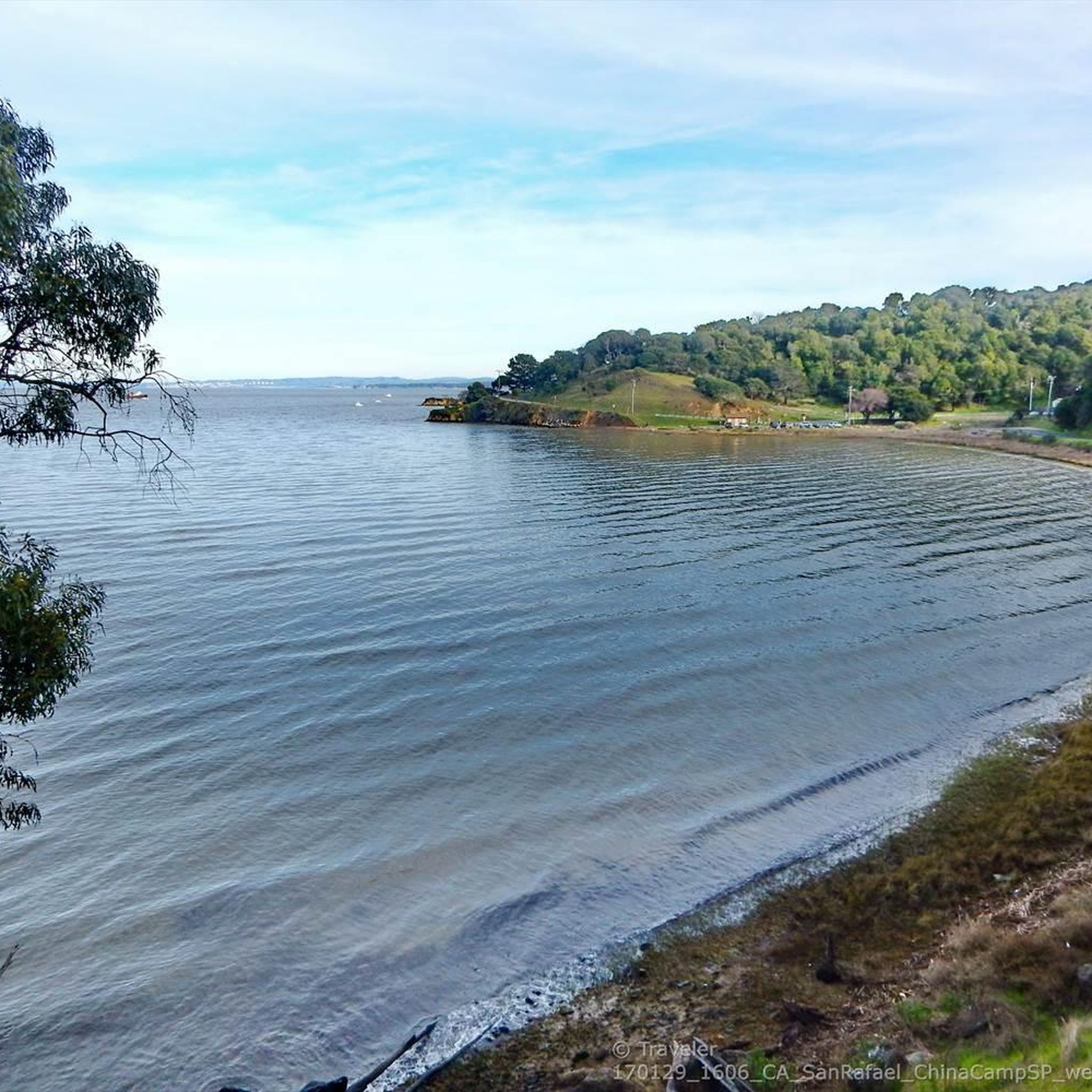
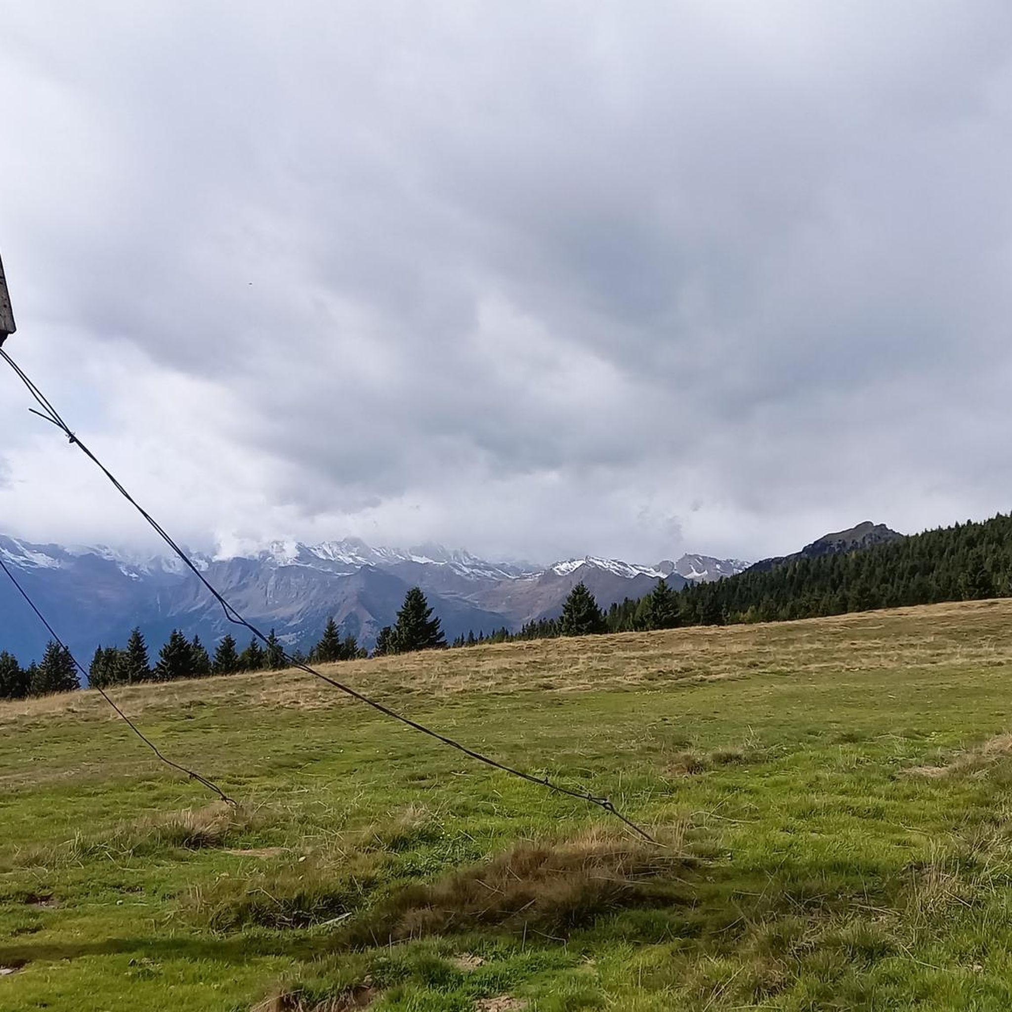
Tips from the Community

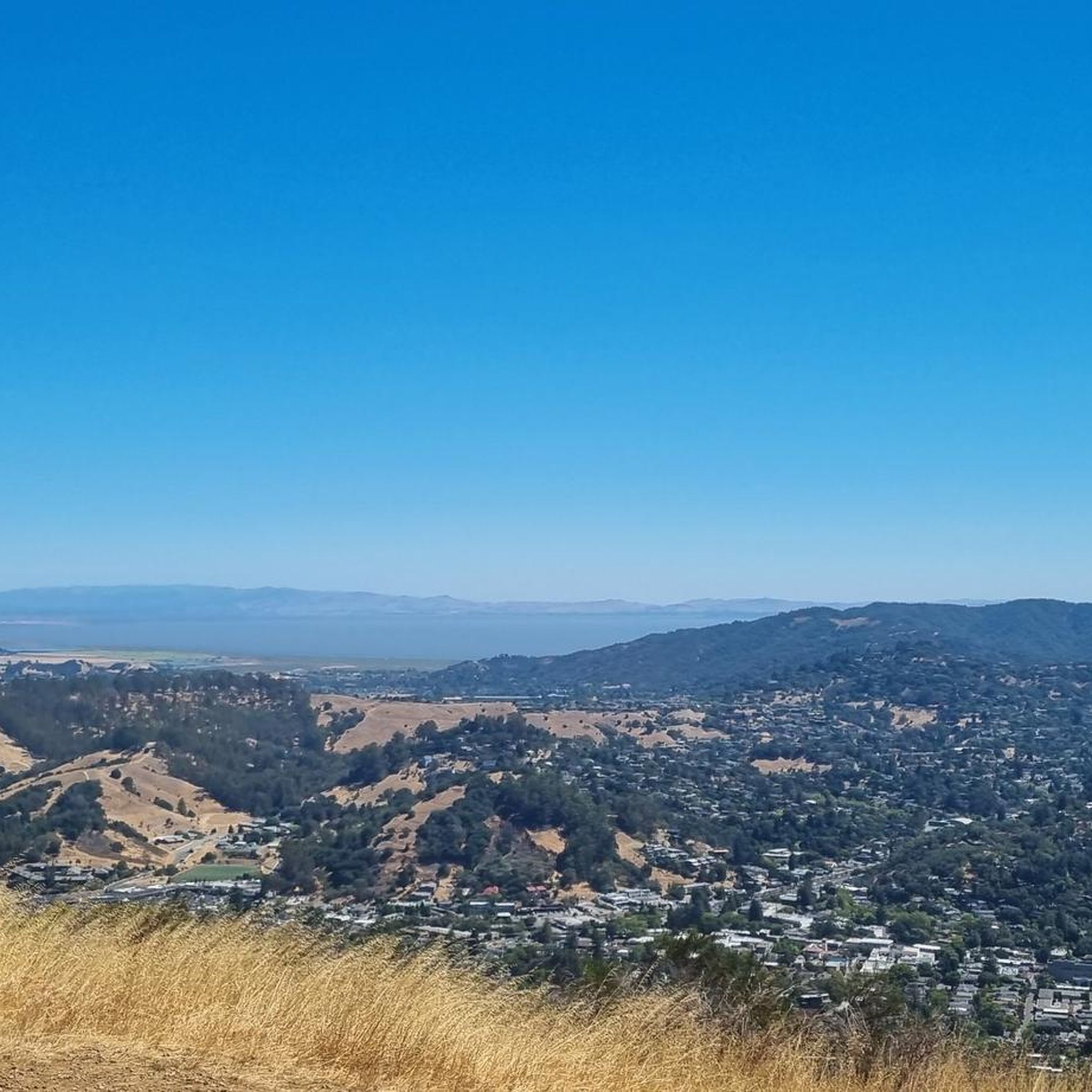
Mount Tam East Peak offers some of the most majestic views north of the bay. From this vantage point, you can see all of Marin, along with Point Reyes to the north and Oakland and San Francisco to the south. The stunning panoramic vistas make the journey well worth the effort. There are restrooms and picnic tables, ideal for a snack or lunch while you capture some incredible photos.
0
0

One of the best views in the entire Bay Area. No question.
0
0
Often busy on weekends, this is a great spot to take moment before/after summiting Mt Tam. There are spigots to fill up water and bathrooms that are open during park hours. The parking lot is very close for those that drive up. There is access to MANY trails for those on foot/bike.
0
0
Mount Tam East Peak offers some of the most majestic views north of the bay. From this vantage point, you can see all of Marin, along with Point Reyes to the north and Oakland and San Francisco to the south. The stunning panoramic vistas make the journey well worth the effort. There are restrooms and picnic tables, ideal for a snack or lunch while you capture some incredible photos.
1
0

Steep heading West can have traffic on SFD
0
0

Just before the last ascent of East Ridgecrest Blvd toward the East Peak of Mt Tamalpais is the Railway Grade Fireroad Trailhead on the south side, and a few dozen yards furthe south, the Eldridge Grade Fire Road down on the north side.
0
0
Great lookout with a usually closed summit hut at 2571 feet (784 m) elevation. Outstanding views of the Bay, Marin County, San Francisco, and the Pacific Ocean.
0
0

There are, indeed, horses on this hill. Connector path between Mill Valley and Corte Madera, easier than Camino alto. The alto tunnel is still closed, learn more here: https://openaltotunnel.org/
0
0
Frequently Asked Questions
What are the notable elevated areas or 'mountain peaks' near Santa Venetia?
While Santa Venetia itself is known for its flat wetlands, the surrounding region offers significant hills and elevated points for outdoor activities. Key areas include Mount Tamalpais Summits, Big Rock Ridge, San Pedro Mountain within the San Pedro Mountain Open Space Preserve, and elevated areas like Bullet Hill in China Camp State Park.
Where can I find the best panoramic views near Santa Venetia?
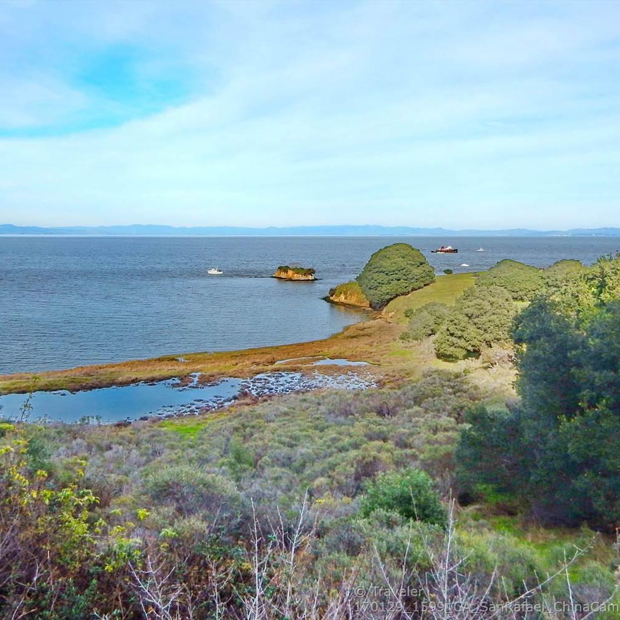
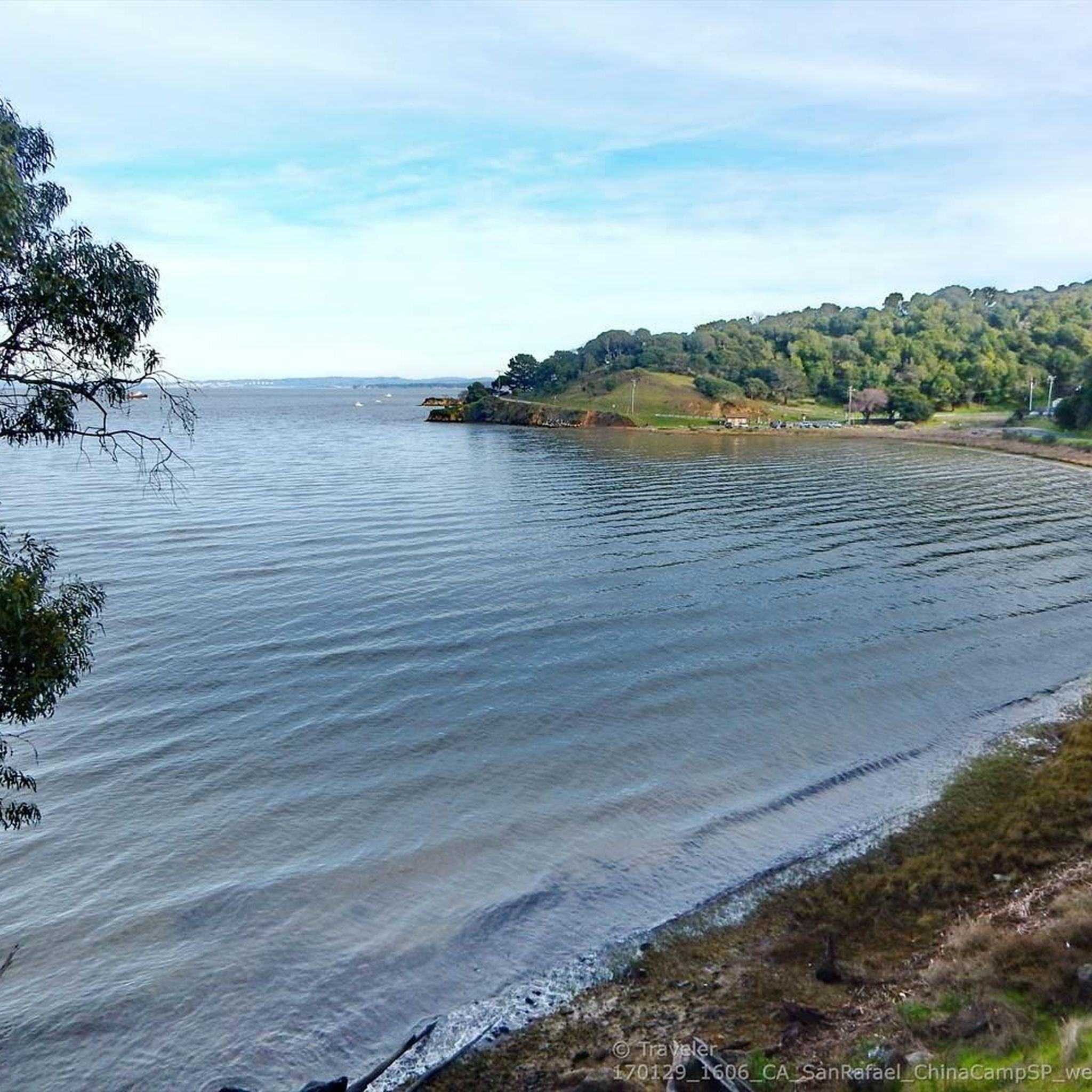
For breathtaking panoramic views, consider visiting Mount Tamalpais Summits, which offers expansive vistas of San Francisco and the East Bay. Big Rock Ridge also provides panoramic views of the Bay, Marin County, and even Mount Diablo. Elevated points within China Camp State Park offer scenic views over San Pablo Bay.
Are there hiking trails near these elevated areas?
Yes, both San Pedro Mountain Open Space Preserve and China Camp State Park feature multiuse trails suitable for hiking. You can find diverse terrain and varying trail lengths. For more detailed routes, explore the Running Trails around Santa Venetia guide.
What are the difficulty levels of trails around Santa Venetia's peaks?
The trails offer a range of difficulty levels. China Camp State Park has moderate hikes with elevation gains, such as the 'Shoreline and Bay View Trail Loop' (9.1 miles) and the easier 'Turtle Back, Bullet Hill and Shoreline Loop' (1.5 miles). San Pedro Mountain Open Space Preserve also provides diverse terrain with varying trail lengths.
Are there family-friendly hiking options near Santa Venetia?
Yes, China Camp State Park offers trails suitable for families, including easier loops that provide diverse scenery and bay views without being overly strenuous. The varied terrain allows for different fitness levels.
What outdoor activities can I do near these mountain peaks?
Beyond hiking, the areas around Santa Venetia's elevated points are great for cycling and mountain biking. China Camp State Park and San Pedro Mountain Open Space Preserve have multiuse trails. You can find specific routes in the MTB Trails around Santa Venetia guide and the Gravel biking around Santa Venetia guide.
When is the best time to hike around Santa Venetia?
The region generally experiences mild winters and warm, dry summers. Spring and fall are often ideal for hiking, offering pleasant temperatures and vibrant natural scenery. Summer mornings can also be enjoyable before the heat of the day, while winter hikes are possible on clear days.
Are dogs allowed on trails near Santa Venetia's peaks?
Many trails in Marin County Open Space Preserves and State Parks allow dogs, typically on leash. It's always best to check specific park regulations for China Camp State Park and San Pedro Mountain Open Space Preserve before your visit to confirm their current pet policies.
Is parking available at trailheads for these elevated areas?
Yes, designated parking areas are generally available at the entrances to China Camp State Park and San Pedro Mountain Open Space Preserve, providing access to the various trail networks.
What natural features can I expect to see while exploring these areas?
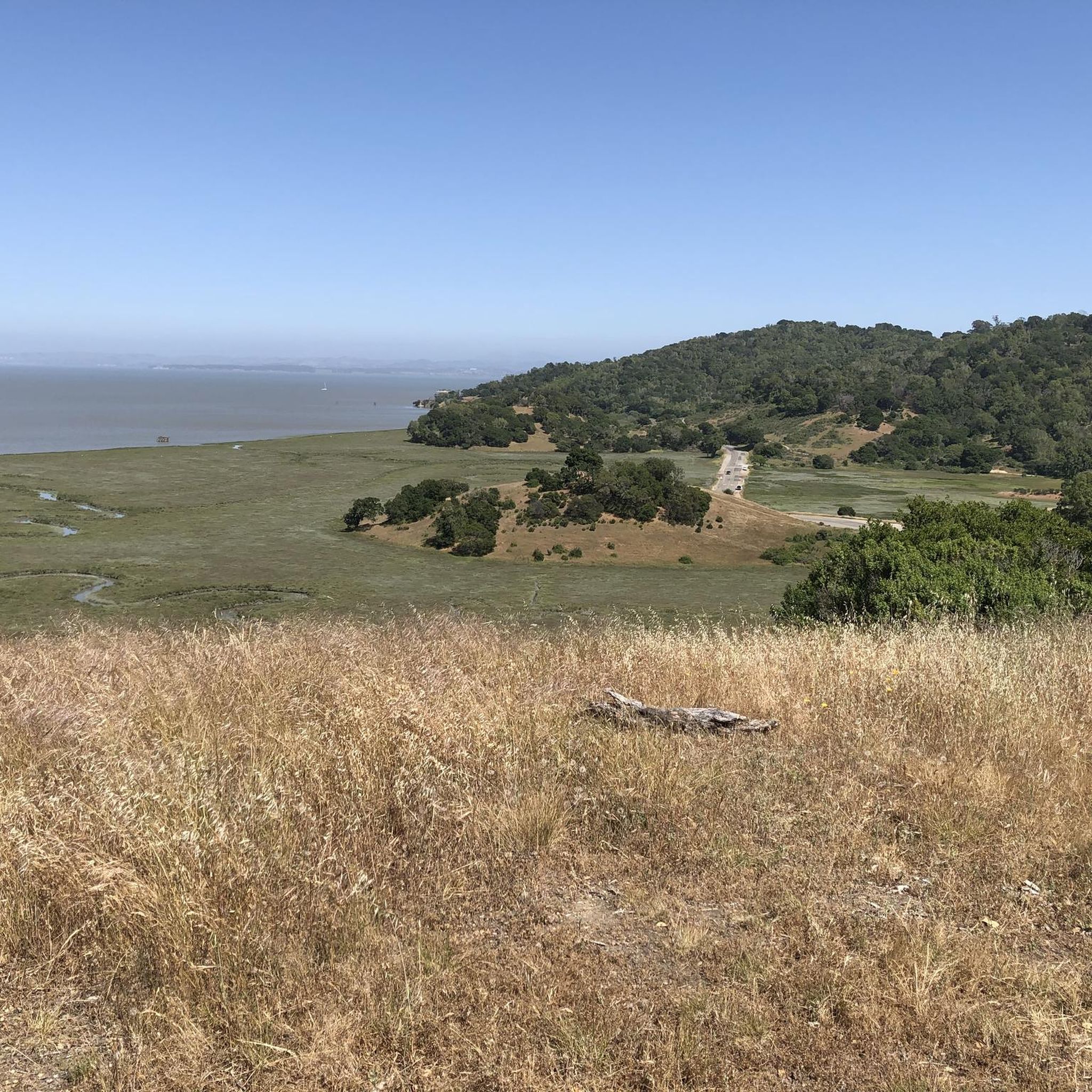
You'll encounter diverse natural features, including oak woodlands, meadows, and views of San Pablo Bay. The Santa Venetia Marsh Preserve itself offers wetlands, while the surrounding hills provide forested green landscapes and prominent geographical landmarks like San Pedro Mountain.
What is White Hill Summit and why is it notable?
White Hill Summit on Sir Francis Drake Boulevard marks the highest point between Fairfax and San Geronimo. It's notable for its wide bike lane, making it a popular spot for cyclists, and offers scenic views despite being a busy thoroughfare.
What do visitors enjoy most about the mountain peaks around Santa Venetia?
Visitors particularly appreciate the diverse terrain for hiking and cycling, the panoramic views of the Bay and surrounding Marin County, and the accessibility of these natural areas. The komoot community has shared 8 photos and given 33 upvotes to the mountain peaks around Santa Venetia, highlighting their appeal.
Most popular routes around Santa Venetia
Most popular attractions around Santa Venetia

Get inspired with the komoot mobile app


Explore more
See even more amazing summits around Santa Venetia with these guides:
