The best MTB trails around Santa Rosa Valley
4.6
(43)
835
riders
69
rides
Mountain biking around Santa Rosa Valley offers diverse landscapes and extensive trail systems in a rural Southern California setting. The area is characterized by rolling hills and open spaces, providing scenic views of the nearby Santa Ynez Mountains. This varied terrain makes it a prime destination for mountain biking enthusiasts. The region features a network of trails suitable for different skill levels, from easy paths to more challenging routes with significant elevation gain.
Best mountain bike trails around Santa Rosa Valley
- The most popular mountain bike trail is Western Plateau Loop to Elliott Mountain, a 9.3 miles (15.0 km) trail that takes 1 hour 31 minutes to complete. This moderate route offers diverse terrain and ridgeline views.
- Another top favourite among local mountain bikers is Canejo Canyon Open Space Loop, a moderate 8.9 miles (14.4 km) path. This trail features both flat areas and steep inclines, requiring good fitness.
- Local mountain bikers also love the Wildwood and Lynnmere Trail Loop, a 5.2 miles (8.4 km) trail leading through Wildwood Park, often completed in about 52 minutes. This easy loop offers diverse terrain and ridgeline views.
- Mountain biking around Santa Rosa Valley is defined by rolling hills, open spaces, and diverse terrain, with options for different ability levels.
- The routes in Santa Rosa Valley are highly rated by the komoot community with an average score of 4.6 stars from over 40 reviews. More than 900 mountain bikers have used komoot to explore Santa Rosa Valley's varied terrain.
Last updated: July 7, 2026
5.0
(1)
34
riders
15.0km
01:31
320m
320m
The Western Plateau Loop to Elliott Mountain offers a dynamic mountain biking experience through the Conejo Canyons Open Space. You'll navigate varied terrain, from the shaded oak forests of Hawk Canyon to open grassy meadows along the Plateau Rim Trail, all while enjoying fantastic views. The route culminates with a challenging climb to Elliott Mountain's summit, where you're rewarded with outstanding panoramic vistas of the surrounding area, including the Santa Monica Mountains.
This moderate 9.3-mile (15.0 km) loop involves 1061 feet (323 metres) of elevation gain and typically takes about 1 hour and 31 minutes to complete. Parking is available at the trailhead, but it's wise to arrive early, especially on busy days, as this is a popular area. Remember to bring plenty of water, as some sections are exposed, and consider borrowing a bell from the "Bell Box" on the Western Plateau Trail to alert other trail users.
Named after Burt Elliott, a dedicated local trail volunteer, Elliott Mountain is a highlight of this ride, not just for its views but also for its historical connection to the community. The trail itself showcases the diverse ecosystems of the Conejo Canyons, blending technical singletrack, like the Outlaw Loop Trail, with more flowing fire roads. It's a great option for mountain bikers seeking a challenging ride with significant scenic payoff.

3
riders
14.4km
01:32
380m
390m
Moderate mountain bike ride. Good fitness required. Suitable for all skill levels.

Sign up for free
5.0
(1)
2
riders
8.36km
00:52
190m
180m
This easy 5.2-mile mountain bike loop in Wildwood Park offers diverse terrain and ridgeline views of Thousand Oaks and Mount Clef Ridge.
19
riders
22.7km
02:14
510m
520m
Moderate mountain bike ride. Good fitness required. Suitable for all skill levels.
4.6
(5)
22
riders
21.1km
01:44
250m
250m
Easy mountain bike ride. Great for any fitness level. Suitable for all skill levels.
Get access to more routes and recommendations from other explorers.
Sign up for free
Already have an account?
Our route recommendations are based on thousands of hikes, rides, and runs completed by other people on komoot.
Start today with a free account
Your next adventure awaits.
Login or Signup
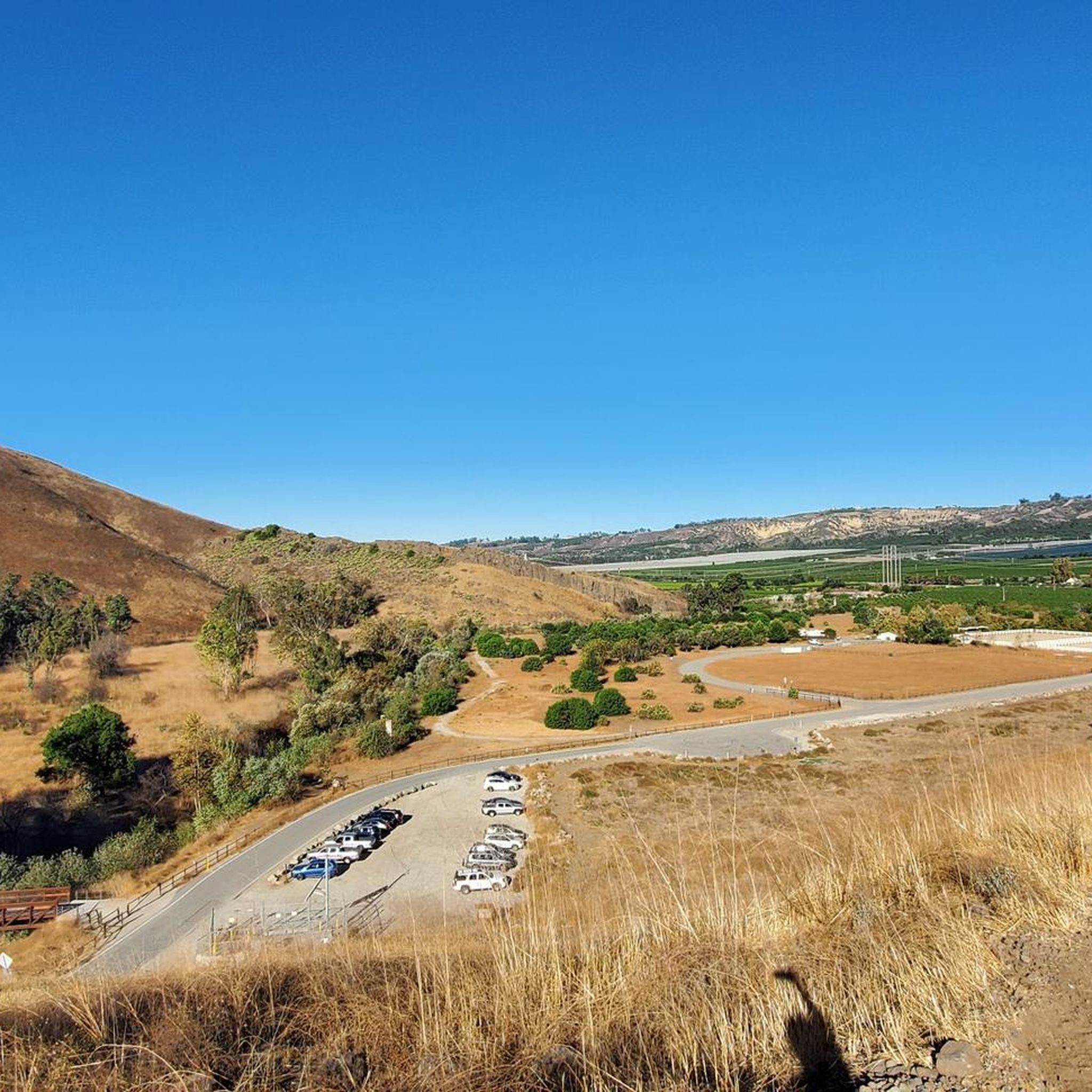
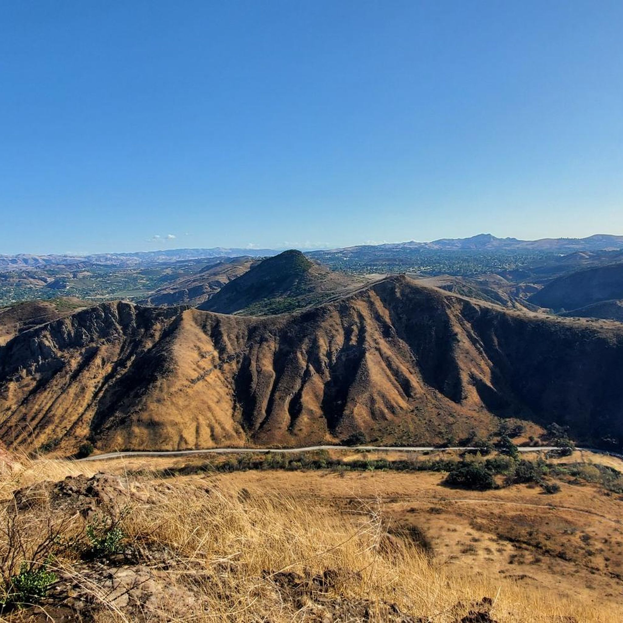
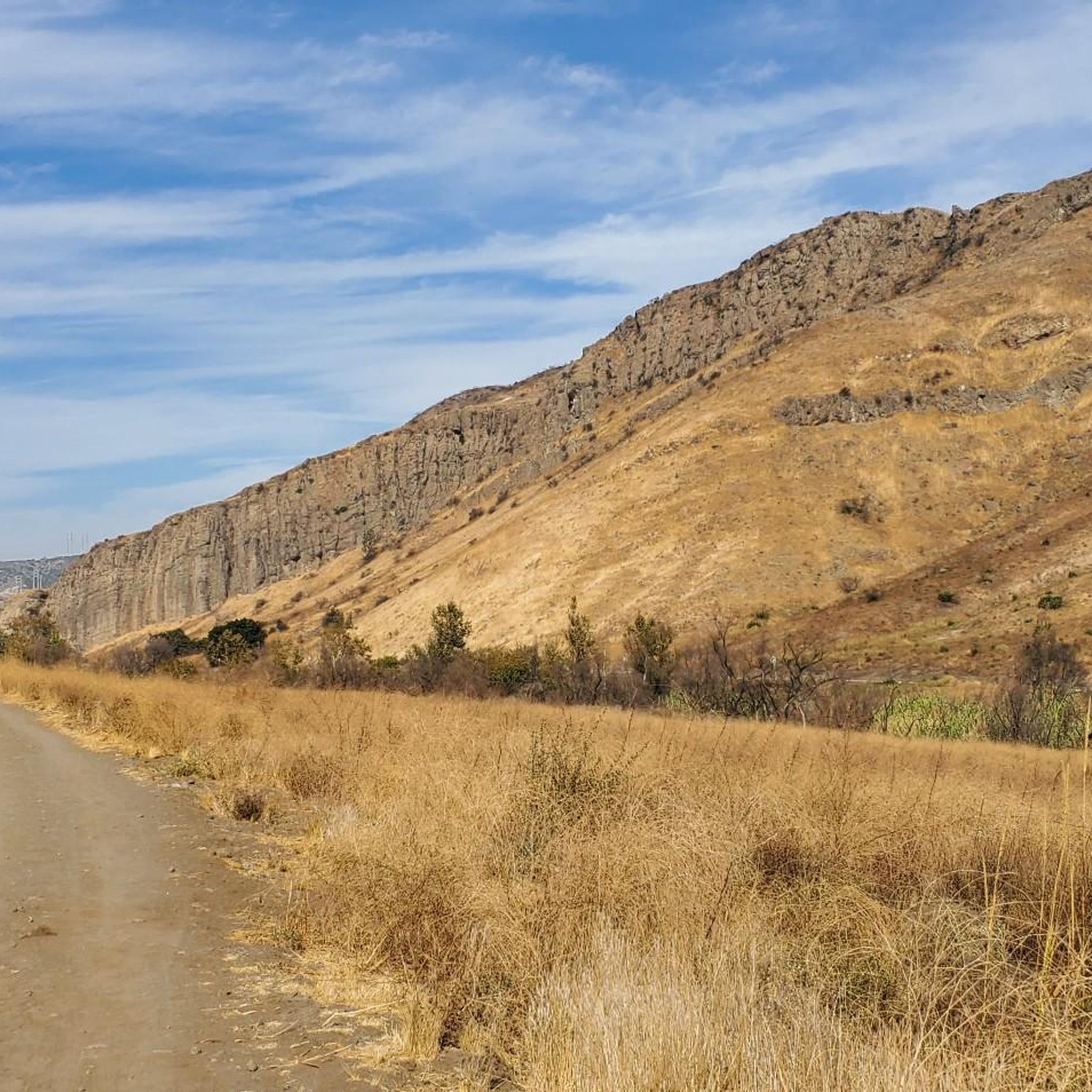

Tips from the Community

This is the perfect picnic site for your hike!
0
0

North Tepee Trail is a short, scenic connector road splitting from the Mesa Trail and taking you into Wildwood Canyon. The path is wide and well-maintained, without any technical sections.
0
0

This is a great place with a bench to take a break, have a snack and enjoy the views. There is a bike bell box at the entrance, which mountain bikers can borrow a bell to put on their bike so that other trail users can hear them coming and yield.
0
0

Paradise Falls is a 45-foot waterfall in Wildwood Park. There are some steps leading to the main viewing area. Be prepared to leave your bike behind for a moment unless you are fine with a distant view of the falls.
0
0

The Indian Cave is a must see. However, be aware that the trail leading to the cave requires you to dismount your bike for a few hundred feet.
0
0
This summit has some of the best views in the area with a view consisting of green open space, surrounding mountains, and the city as it slowly encroaches on nature.
0
0

Conejo Canyons Open Space is a 1430-acre area that was recognized as a stunning natural area in the 1970s and preserved as permanent open space thereafter. There are miles of trails through these stunning rolling hills, perfect for hiking, running, and biking.
0
0
Paradise Falls is a 45-foot waterfall in Wildwood Park. There are some steps leading to the main viewing area. Be prepared to walk/hike a bit closer to the falls. The rest of the trails in the park are the perfect terrain for trail running.
0
0
Frequently Asked Questions
How many mountain bike trails are available in Santa Rosa Valley?
Santa Rosa Valley offers a wide selection of mountain biking opportunities, with over 70 routes available for exploration. These trails cater to various skill levels, ensuring there's something for everyone.
What is the general difficulty level of mountain bike trails in Santa Rosa Valley?
The trails in Santa Rosa Valley range from easy to difficult. You'll find a good mix, with approximately 13 easy routes, over 50 moderate routes, and a few challenging trails for experienced riders. This variety allows you to choose paths that match your fitness and skill level.
Are there any family-friendly mountain bike trails in Santa Rosa Valley?
Yes, Santa Rosa Valley has several trails suitable for families. The Wildwood and Lynnmere Trail Loop, for example, is an easy 5.2-mile (8.4 km) loop through Wildwood Park, offering diverse terrain that's enjoyable for various ages and skill levels.
What kind of terrain can I expect on mountain bike trails in Santa Rosa Valley?
Mountain biking in Santa Rosa Valley features diverse terrain, from rolling hills and open spaces to more challenging sections with significant elevation gains. You'll encounter both flat areas and steep inclines, providing a varied and engaging riding experience. The region offers scenic views of the nearby Santa Ynez Mountains.
Are there any waterfalls or natural landmarks to see along the trails?
Yes, the Santa Rosa Valley area is home to beautiful natural features. You can visit Paradise Falls, a notable waterfall, which can be incorporated into routes like the Paradise Falls – Wildwood Teepee loop from Camarillo. Other natural attractions include Sycamore Falls and scenic views from Upper Sycamore Overlook.
What are the typical lengths of mountain bike trails in Santa Rosa Valley?
Trail lengths vary significantly. You can find shorter loops like the Wildwood and Lynnmere Trail Loop at 5.2 miles (8.4 km), or longer, more challenging rides such as the Paradise Falls – Wildwood Teepee loop from Camarillo, which spans over 20 miles (32 km).
Are there any loop trails for mountain biking in the area?
Many of the mountain bike trails in Santa Rosa Valley are designed as loops, offering a continuous riding experience without retracing your steps. Examples include the Western Plateau Loop to Elliott Mountain and the Canejo Canyon Open Space Loop.
What do other mountain bikers say about the trails in Santa Rosa Valley?
The mountain bike trails in Santa Rosa Valley are highly regarded by the komoot community, holding an average rating of 4.6 stars from over 40 reviews. Riders often praise the diverse landscapes, extensive trail systems, and the scenic views of the Santa Ynez Mountains.
Is parking available at the trailheads?
Yes, many trailheads in the Santa Rosa Valley area offer parking. For instance, the Conejo Canyons Trail Head provides access to its extensive trail system, and Wildwood Park also has designated parking areas for visitors.
What is the best time of year to go mountain biking in Santa Rosa Valley?
Given its Southern California location, Santa Rosa Valley generally offers good mountain biking conditions year-round. However, to avoid the hottest temperatures, spring and fall are often ideal, providing pleasant weather for longer rides. Winter can also be a great time, with cooler temperatures and lush landscapes.
Are dogs allowed on the mountain bike trails?
Many trails in Santa Rosa Valley, particularly within open space areas and regional parks like Wildwood Park, are dog-friendly. However, it's always recommended to check specific park regulations or trail signage for the most current information regarding pets, and to keep dogs on a leash for their safety and the preservation of wildlife.
Are there any challenging mountain bike routes for advanced riders?
While many trails are moderate, Santa Rosa Valley does offer routes with significant elevation gains and technical sections that will appeal to advanced riders. Approximately 5 routes are classified as difficult, providing a good challenge. For example, the View of the Switchbacks – Lizard Rock Bench loop from California Lutheran University offers varied terrain and elevation changes.
Most popular routes around Santa Rosa Valley
Most popular attractions around Santa Rosa Valley

Get inspired with the komoot mobile app


Explore more
Browse the best MTB trails in other regions.
