The best road cycling routes around Denklingen
4.6
(691)
9,303
riders
13
rides
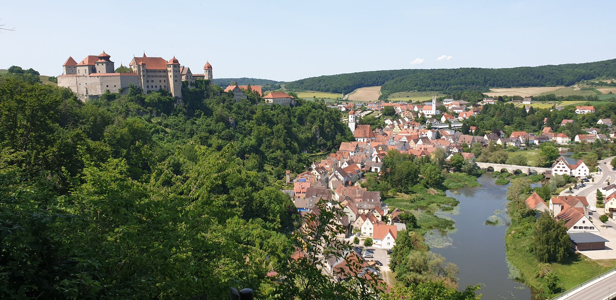
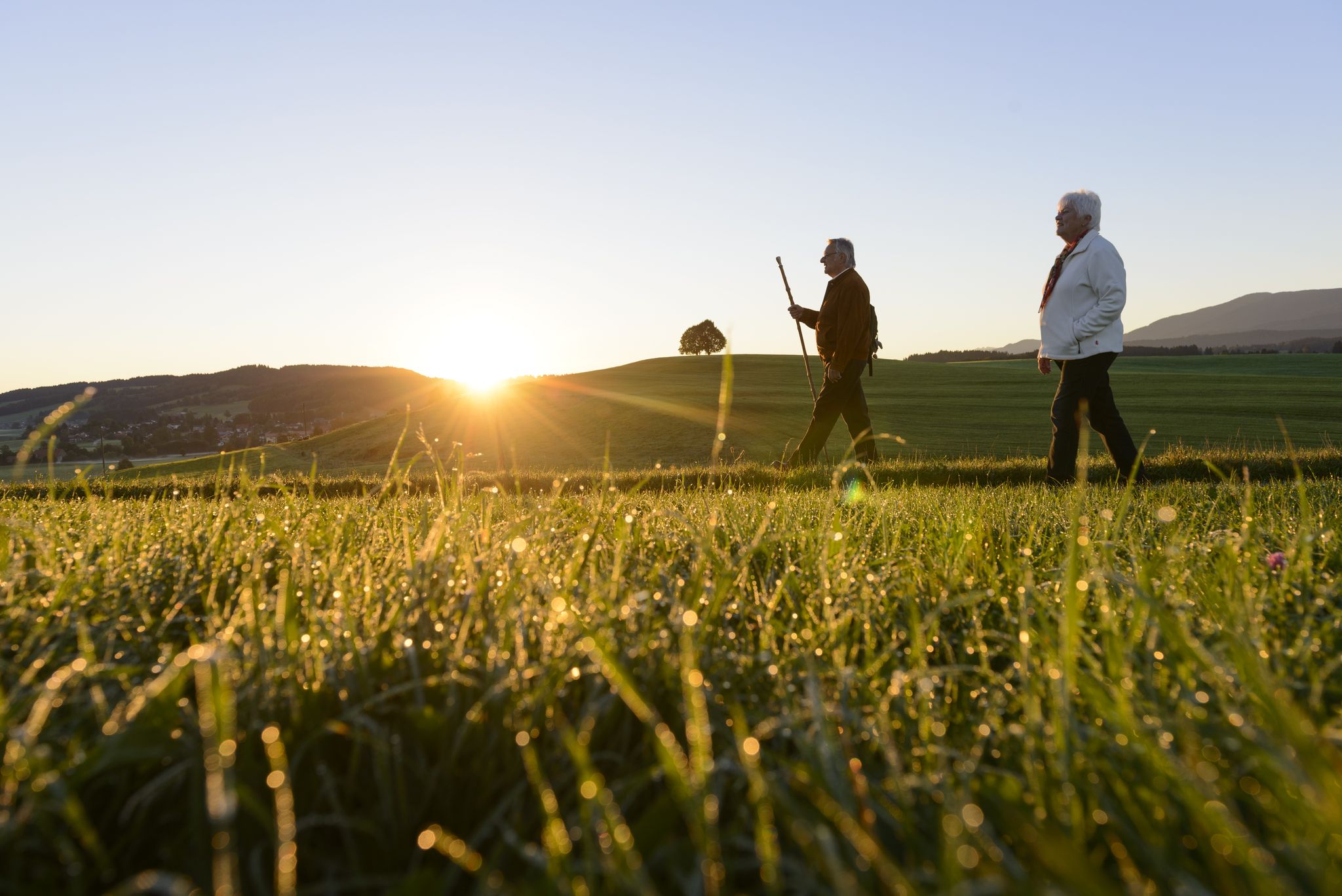
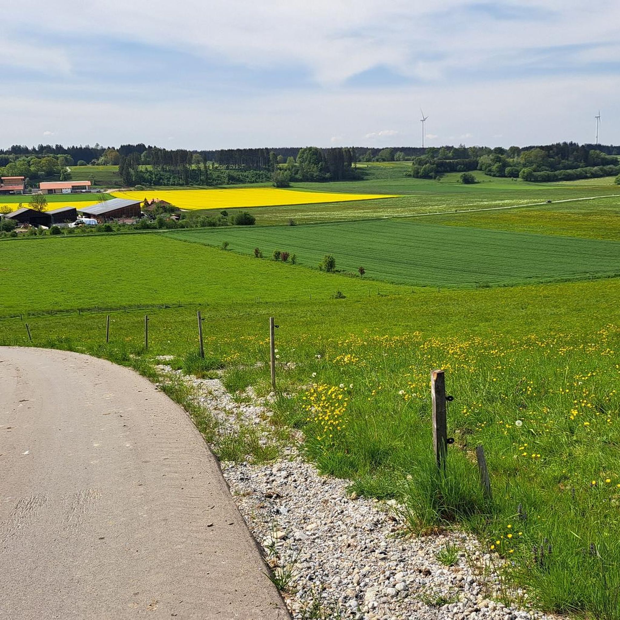
Road cycling routes around Denklingen traverse a landscape characterized by the emerald-green Lech River, expansive meadows, and sections of the Denklinger Rotwald and Sachsenrieder forests. The region is part of the Bavarian Alpine foothills, offering a mix of predominantly flat river paths and gently rolling hills. Cyclists can expect well-maintained, mostly paved paths and quiet side roads, with distant views of the Alps from certain vantage points.
Best road cycling routes around Denklingen
- The most popular road cycling route is…
Last updated: October 15, 2026
4.7
(15)
199
riders
Easy road ride. Great for any fitness level. Mostly well-paved surfaces and easy to ride.
4.8
(16)
177
riders
34.3km
01:20
100m
100m
Easy road ride. Great for any fitness level. Mostly well-paved surfaces and easy to ride.

5.0
(1)
52
riders
Moderate road ride. Good fitness required. Mostly well-paved surfaces and easy to ride.
5.0
(1)
22
riders
Moderate road ride. Good fitness required. Mostly well-paved surfaces and easy to ride.
22
riders
35.1km
01:24
160m
160m
Easy road ride. Great for any fitness level. Mostly well-paved surfaces and easy to ride.
Get access to more routes and recommendations from other explorers.
Already have an account?
Our route recommendations are based on thousands of hikes, rides, and runs completed by other people on komoot.
Start today with a free account
Your next adventure awaits.



Tips from the Community

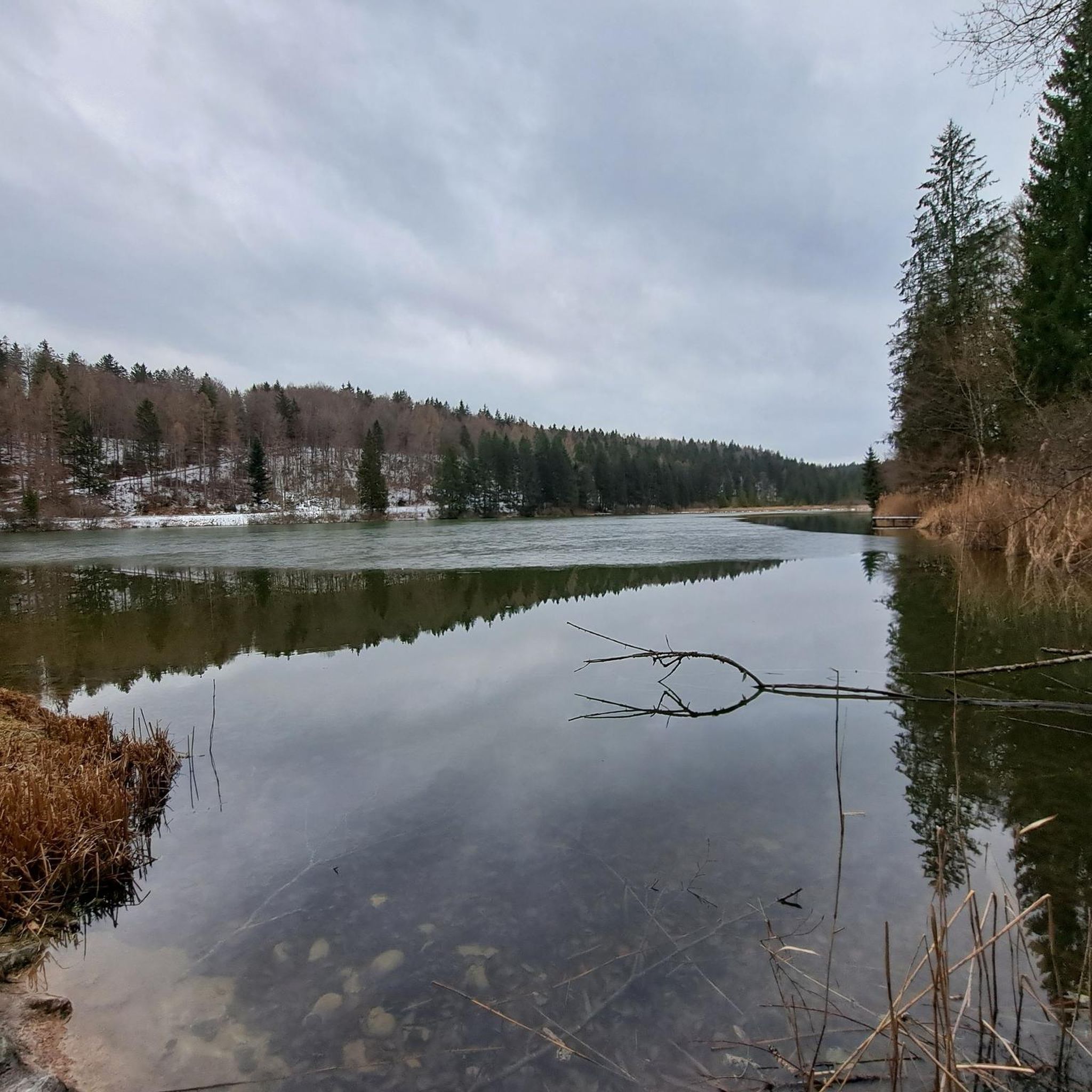
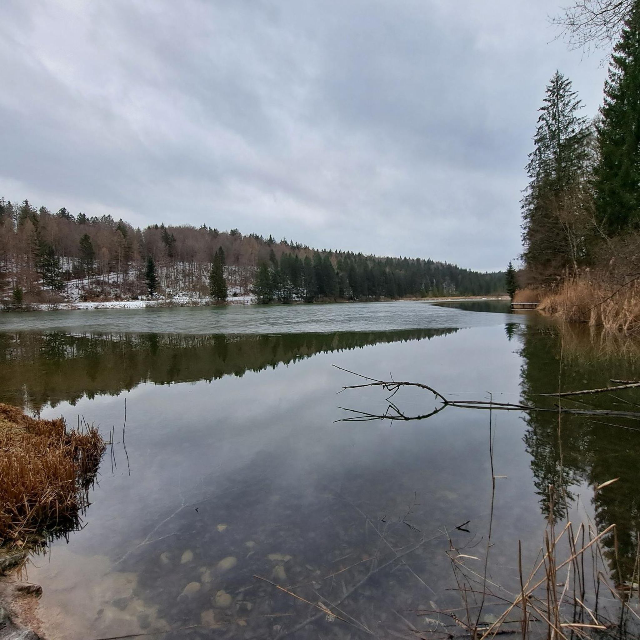
Beautiful view of the mountains
1
0

A much better alternative to the main road running parallel to the east.
0
0

A cycle path connecting the two towns of Ellighofen and Erpfting. It runs leisurely off-road along the Wiesbach stream and then continues across fields, always paved, of course.
1
0
The current parish church developed from the former castle church. St. Nicholas' Church on the edge of town is considered the original parish church. Source and further information: https://de.wikipedia.org/wiki/St._Anna_(Waal)
0
0

A bench at the Eichkapelle invites you to linger.
0
0

Beautiful route with a slight gradient - with swimming possibility 🏊♂️🩲
1
0

The pilgrimage chapel was built in 1696/97 according to a design by Johann Schmuzer.
2
1

always beautiful, interesting and often very informative as parts are explained by information boards, parts of an old city fortification and its city towers....
3
1
Frequently Asked Questions
What kind of terrain can I expect on road cycling routes around Denklingen?
Road cycling routes around Denklingen offer a diverse landscape. You'll find predominantly flat paths along the emerald-green Lech River, as well as gently rolling hills characteristic of the Bavarian Alpine foothills. Some routes, like the View from the Hoher Peißenberg loop, feature significant elevation gain, leading to panoramic views. The area also includes sections through the Denklinger Rotwald and Sachsenrieder forests.
Are there road cycling routes suitable for beginners or those looking for an easy ride?
Yes, Denklingen offers a good selection of easy road cycling routes. Out of over 300 routes, 88 are classified as easy. An example is the View of Zugspitze – Bayertor Landsberg am Lech loop from Denklingen, which is an easy 28.1 miles (45.2 km) path with moderate elevation changes, offering views of the distant Zugspitze.
What are the most scenic viewpoints or natural features to look out for while cycling?
The region is rich in natural beauty. You can enjoy continuous scenic views along the emerald-green Lech River, which is one of Europe's last wild rivers. From certain vantage points, especially along routes like the historic Via Claudia Augusta, you can catch glimpses of the majestic Alps to the south. The area also features expansive meadows and tranquil forest sections, such as those in the Denklinger Rotwald and Sachsenrieder forests.
Are there any circular road cycling routes around Denklingen?
Yes, many road cycling routes around Denklingen are designed as loops, allowing you to start and end in the same location. Examples include the challenging View from the Hoher Peißenberg loop from Apfeldorf and the more moderate Wessobrunn Abbey – Wessobrunner Berg loop from Reichling.
What do other road cyclists think about the routes in Denklingen?
The road cycling routes in Denklingen are highly regarded by the komoot community, boasting an average rating of 4.6 stars from over 460 reviews. Cyclists often praise the well-maintained, mostly paved paths, quiet side roads, and the diverse scenery ranging from river valleys to rolling hills and distant Alpine views.
What is the best time of year for road cycling in Denklingen?
The region around Denklingen is generally pleasant for road cycling from spring through autumn. The weather conditions are typically favorable, allowing cyclists to enjoy the emerald-green Lech River, expansive meadows, and forest sections. While specific winter conditions vary, many routes are accessible outside of heavy snow or ice.
Are there any historical or cultural landmarks along the road cycling routes?
While the focus is often on natural landscapes, some routes pass by historical points of interest. For instance, the Wessobrunn Abbey loop from Reichling takes you past the historic Wessobrunn Abbey. Additionally, the ancient Roman road, Via Claudia Augusta, now a cycling path, offers a historical context to your ride.
Are there places to eat or stay for cyclists in Denklingen and the surrounding area?
Denklingen and its surroundings offer various options for cyclists to refuel and rest. You can find cafes and restaurants in the villages along the routes. For accommodation, there are hotels and guesthouses available. For specific facilities, you might find places like the Kesslalm Cyclists' Rest Stop on the Via Claudia Augusta or the Mooshütte.
Can I access road cycling routes in Denklingen using public transport?
While specific public transport connections directly to trailheads may vary, Denklingen is situated in a region with some public transport options. It's advisable to check local bus or train schedules for connections to Denklingen or nearby towns that serve as starting points for routes. Many routes are also accessible from various parking spots in and around the municipality.
Are there any bike shops or repair services available in Denklingen?
For any bike maintenance or repair needs, it's recommended to check for local bike shops in Denklingen or the larger nearby towns. While specific shops are not listed in the route data, larger communities in the region typically offer such services to support the active cycling community.
What are some notable attractions near the road cycling routes in Denklingen?
Beyond the cycling routes themselves, the area offers several attractions. You can visit the incredibly blue Teufelsküche Reservoir for a beautiful spot. There are also various huts and facilities like the Forest House in the Sachsenrieder Forest, which can serve as rest stops or points of interest.
Are there any challenging road cycling routes for experienced cyclists?
Yes, for experienced cyclists seeking a challenge, Denklingen offers routes with significant elevation gains. For example, the View from the Hoher Peißenberg loop from Apfeldorf is a 28.7 miles (46.2 km) trail with over 600 meters of elevation gain, providing a demanding ride and rewarding panoramic views.
Most popular routes around Denklingen
Most popular attractions around Denklingen

Get inspired with the komoot mobile app


Explore more
Browse the best Road cycling routes in other regions.
