The best MTB trails around Meyers
4.9
(9)
664
riders
48
rides
Mountain biking around Meyers offers access to diverse terrain in the Sierra Nevada mountains. The region features a mix of forested singletrack, high-alpine trails, and challenging descents. Riders can expect varied landscapes, including sections of the Tahoe Rim Trail, mountain passes, and valley routes. The area provides a range of elevations suitable for different mountain biking experiences.
Best mountain bike trails around Meyers
- The most popular mountain bike trail is Tahoe Rim Trail and Christmas Valley Loop, a 8.2…
Last updated: November 7, 2026
31
riders
57.3km
05:26
1,500m
1,500m
Hard mountain bike ride. Very good fitness required. Advanced riding skills necessary.
5.0
(1)
24
riders
24.1km
02:00
500m
500m
Hard mountain bike ride. Good fitness required. Advanced riding skills necessary. Some portions of the route may require you to push your bike.

10
riders
22.9km
02:26
680m
690m
Hard mountain bike ride. Good fitness required. Advanced riding skills necessary. Some portions of the route may require you to push your bike.
13
riders
39.6km
03:35
820m
820m
Hard mountain bike ride. Good fitness required. Advanced riding skills necessary. Some portions of the route may require you to push your bike.
7
riders
48.0km
04:43
1,370m
1,370m
Hard mountain bike ride. Very good fitness required. Advanced riding skills necessary. Some portions of the route may require you to push your bike.
Get access to more routes and recommendations from other explorers.
Already have an account?
Our route recommendations are based on thousands of hikes, rides, and runs completed by other people on komoot.
Start today with a free account
Your next adventure awaits.

Tips from the Community

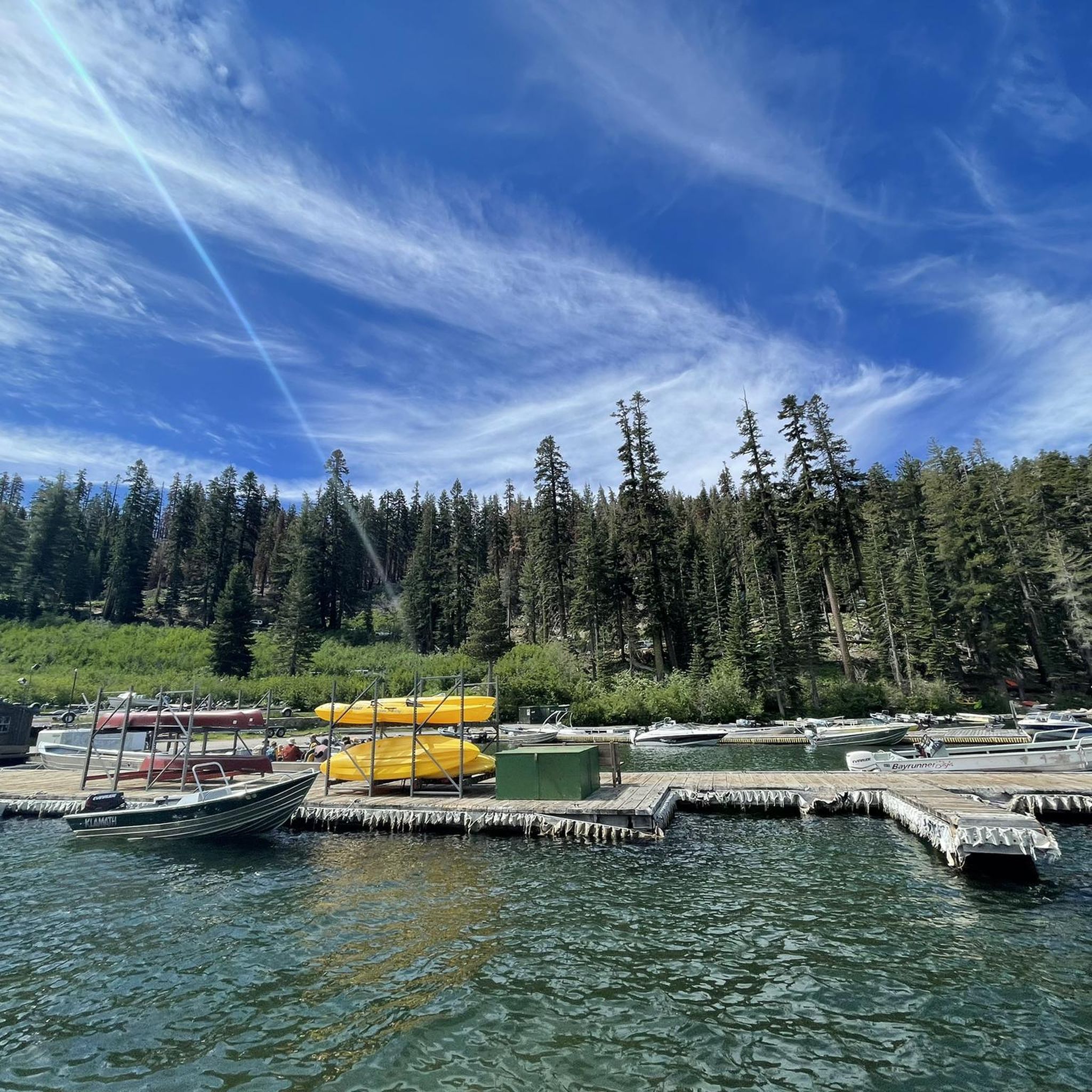
Recommend full suspension for Xmas Valley. Four alternate routes. Very engaging, fun, physical, at times technical ride. A stop at Scott's Lake is beautiful, Dardanelles Lake stunning.
0
0

Here, you'll reach Armstrong Pass. The trail to get here features a gradual climb with a few hundred feet of elevation gain. You can access several trails from this pass.
1
0

At the intersection with High Meadows Rd this trailhead is the closest to Star Lake. Star Lake Trail climbs from here, at first gradually, then with a set of switchbacks.
2
0

It is a very pretty alpine lake, nestled at the base of the three towering peaks of Freel Peak (3,305 meters), Jobs Sister (3,299 meters) and Jobs Peak (3,233 meters). If there is not too much wind, the rocks and trees that surround it are almost perfectly reflected in its waters. A nice spot!
0
0
At this junction, you have two options. You can head towards Cold Creek Bridge or continue on the path to reach the Cold Creek Trail. This versatile trail accommodates both hikers and mountain bikers, offering a scenic route through imposing mountain walls and meadows. Enjoy the beauty of nature as you explore either route.
0
0
Rustic wooden bridge gracefully spanning over a shady part of Cold Creek. Great place to stop for a break.
0
0

Big Meadow Trailhead is a good spot to access Mr Toad's Wild Ride. It's pretty common to tackle this trail by shuttling with a friend, but you can turn it into a loop if you have the time and energy for a long day in the saddle.
0
0
Fun, flowy section of trail. Perfect for a first taste of Tahoe riding or visiting again just to feel the flow.
0
0
Frequently Asked Questions
How many mountain bike trails are available in Meyers?
Meyers offers a diverse network of over 40 mountain bike trails. These routes cater to various skill levels, ranging from easy forest paths to challenging high-alpine descents.
Are there easy mountain bike trails suitable for beginners in Meyers?
Yes, Meyers has 9 easy mountain bike trails. These routes are generally less technical and offer a good introduction to mountain biking in the Sierra Nevada, often featuring scenic forest paths.
What is the best time of year for mountain biking in Meyers?
The prime season for mountain biking in Meyers typically runs from late spring through early fall. During these months, trails are generally clear of snow, and the weather is favorable for riding. Always check local conditions before heading out, especially in shoulder seasons.
Are there any mountain bike trails in Meyers that are suitable for families?
While specific 'family-friendly' designations can vary, many of the easier trails in Meyers are suitable for families looking for a less strenuous ride. These often feature smoother terrain and gentler gradients. Consider routes that avoid the more technical sections of the region.
What kind of scenic views can I expect on mountain bike trails around Meyers?
Mountain biking in Meyers offers diverse scenic views, including dense pine forests, open valley vistas, and expansive high-alpine landscapes. Riders can experience sections of the Tahoe Rim Trail with its iconic scenery, as well as views of surrounding peaks and meadows.
Are there any circular mountain bike routes in Meyers?
Yes, many mountain bike trails in Meyers are designed as loops. For example, the Tahoe Rim Trail and Christmas Valley Loop is a popular moderate circular route. Another option is the challenging Armstrong Pass Trail – High Meadows Trailhead loop from Meyers, which takes you through high mountain passes.
What are some challenging mountain bike trails for experienced riders in Meyers?
Experienced riders seeking a challenge will find several difficult trails in Meyers. The Saxon Creek Trail & Mr. Toad's Wild Ride is known for its technical sections and fast descents. Another demanding option is the Corral Trailhead – Corral Trail Flow loop from Meyers.
What do other mountain bikers enjoy most about the trails in Meyers?
The mountain bike trails in Meyers are highly rated by the komoot community, with an average score of 4.9 stars. Riders frequently praise the diverse terrain, from forested singletrack to high-alpine routes, and the challenging nature of many trails, particularly the technical descents and varied mountain landscapes.
Are there any notable natural attractions or landmarks near the mountain bike trails in Meyers?
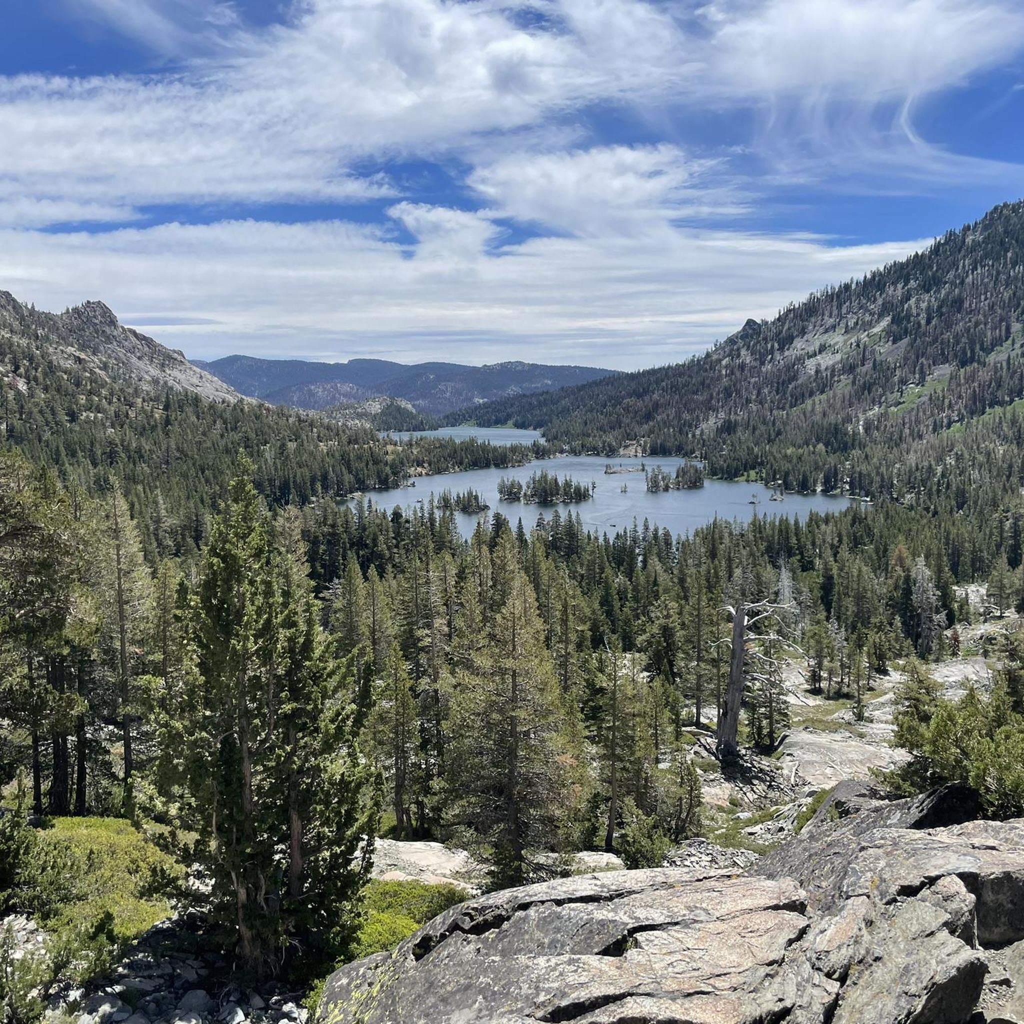
Yes, the area around Meyers offers several natural attractions. You might encounter highlights such as Mount Tallac Summit, Lover's Leap, or various lakes like Lower Echo Lake and Floating Island Lake. These can be explored as part of or alongside your mountain biking adventure.
How long do mountain bike trails in Meyers typically take to complete?
The duration of mountain bike trails in Meyers varies significantly based on distance and difficulty. For example, a moderate route like the Tahoe Rim Trail and Christmas Valley Loop can take around 1 hour 27 minutes, while a difficult and longer trail such as the Big Meadow – Corral Trail Flow loop from Washoe Meadows State Park might require over 4 hours.
What are the typical trail conditions like for mountain biking in Meyers?
Trail conditions in Meyers are diverse, reflecting the Sierra Nevada terrain. You'll find a mix of forested singletrack, rocky sections, and dirt paths. Conditions can change with weather, so it's always advisable to check recent reports, especially after rain or during the snowmelt season.
Most popular routes around Meyers
Most popular attractions around Meyers

Get inspired with the komoot mobile app


Explore more
Browse the best MTB trails in other regions.
