The best cycling routes around La Crescenta-Montrose
4.5
(78)
1,045
riders
71
rides
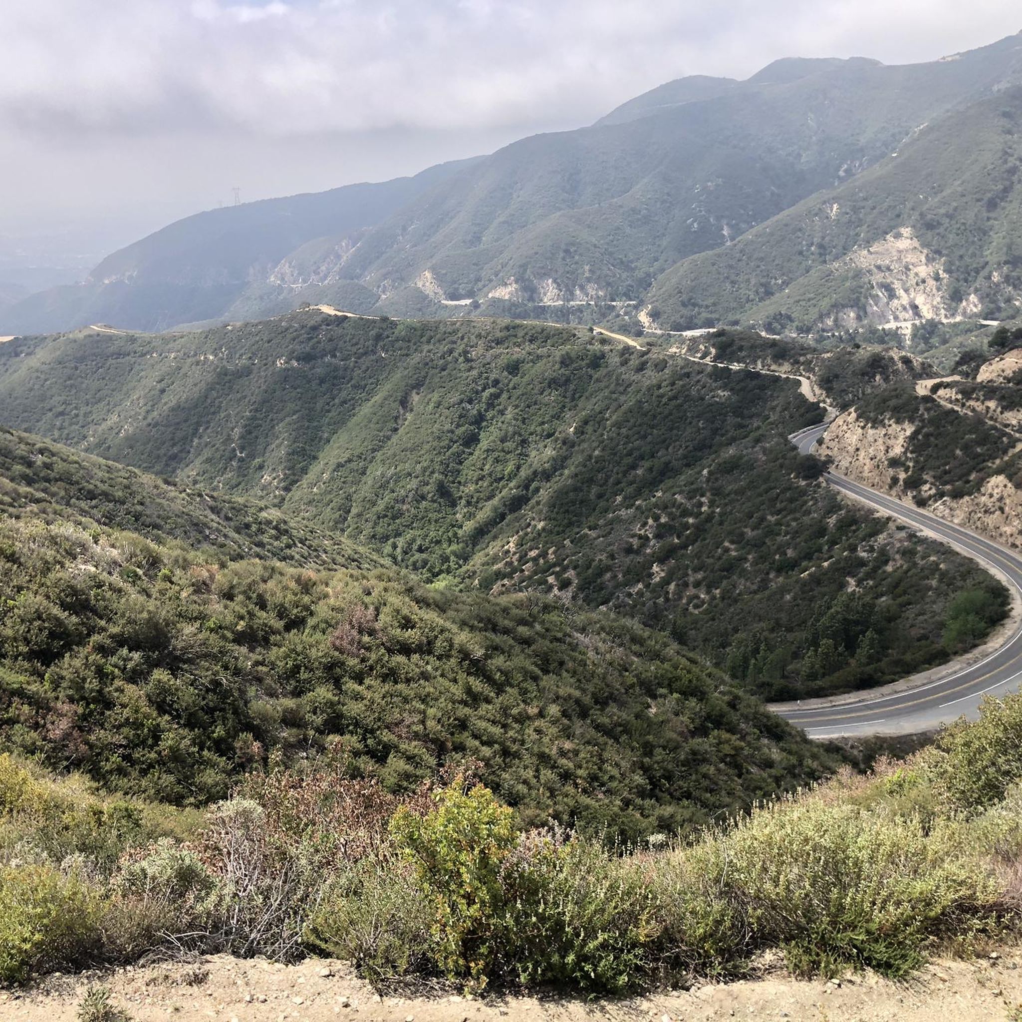
Touring cycling around La Crescenta-Montrose offers routes through varied terrain, characterized by the foothills of the Verdugo Mountains and nearby canyons. The region features undulating roads with significant elevation changes, providing challenging climbs and scenic descents. Cyclists can expect a mix of urban-adjacent paths and more secluded routes winding through natural landscapes. The area's geography includes prominent peaks and canyon roads, making it suitable for those seeking elevation gain.
Best touring cycling routes around La Crescenta-Montrose
- The most popular touring cycling route is Verdugo Peak – La Tuna Canyon Road loop from Tuna Canyon Detention Station, a 10.5 miles (16.8 km) trail that takes 1 hour 38 minutes to complete. This difficult route features significant elevation gain through the Verdugo Mountains.
- Another top favourite among local touring cyclists is Verdugo Peak – La Tuna Canyon Road loop from La Cañada Flintridge, a difficult 16.4 miles (26.4 km) path. This route offers sustained climbs and descents with views of the surrounding hills.
- Local touring cyclists also love the Inspiration Point – Devil's Gate Dam loop from La Cañada Flintridge, a 24.9 miles (40.0 km) trail leading through mountainous terrain and past a significant landmark, often completed in about 3 hours 41 minutes.
- Touring cycling around La Crescenta-Montrose is defined by challenging mountain climbs, scenic canyon roads, and routes connecting urban areas with natural parks. The network offers options for easy, moderate, and difficult ability levels.
- The routes in La Crescenta-Montrose are highly rated by the komoot community with an average score of 4.8 stars from more than 40 reviews. More than 1100 touring cyclists have used komoot to explore La Crescenta-Montrose's varied terrain.
Last updated: October 12, 2026
24
riders
18.7km
02:03
560m
560m
Hard bike ride. Very good fitness required. Mostly paved surfaces. Suitable for all skill levels.
5.0
(1)
25
riders
Hard bike ride. Very good fitness required. Mostly paved surfaces. Suitable for all skill levels.

15
riders
26.5km
02:28
710m
710m
Hard bike ride. Very good fitness required. Mostly paved surfaces. Suitable for all skill levels.
2.3
(6)
37
riders
27.1km
01:42
280m
280m
Moderate bike ride. Good fitness required. Mostly paved surfaces. Suitable for all skill levels.
9
riders
8.57km
00:46
220m
220m
Moderate bike ride. Good fitness required. Mostly paved surfaces. Suitable for all skill levels.
Get access to more routes and recommendations from other explorers.
Already have an account?
Our route recommendations are based on thousands of hikes, rides, and runs completed by other people on komoot.
Start today with a free account
Your next adventure awaits.
Tips from the Community

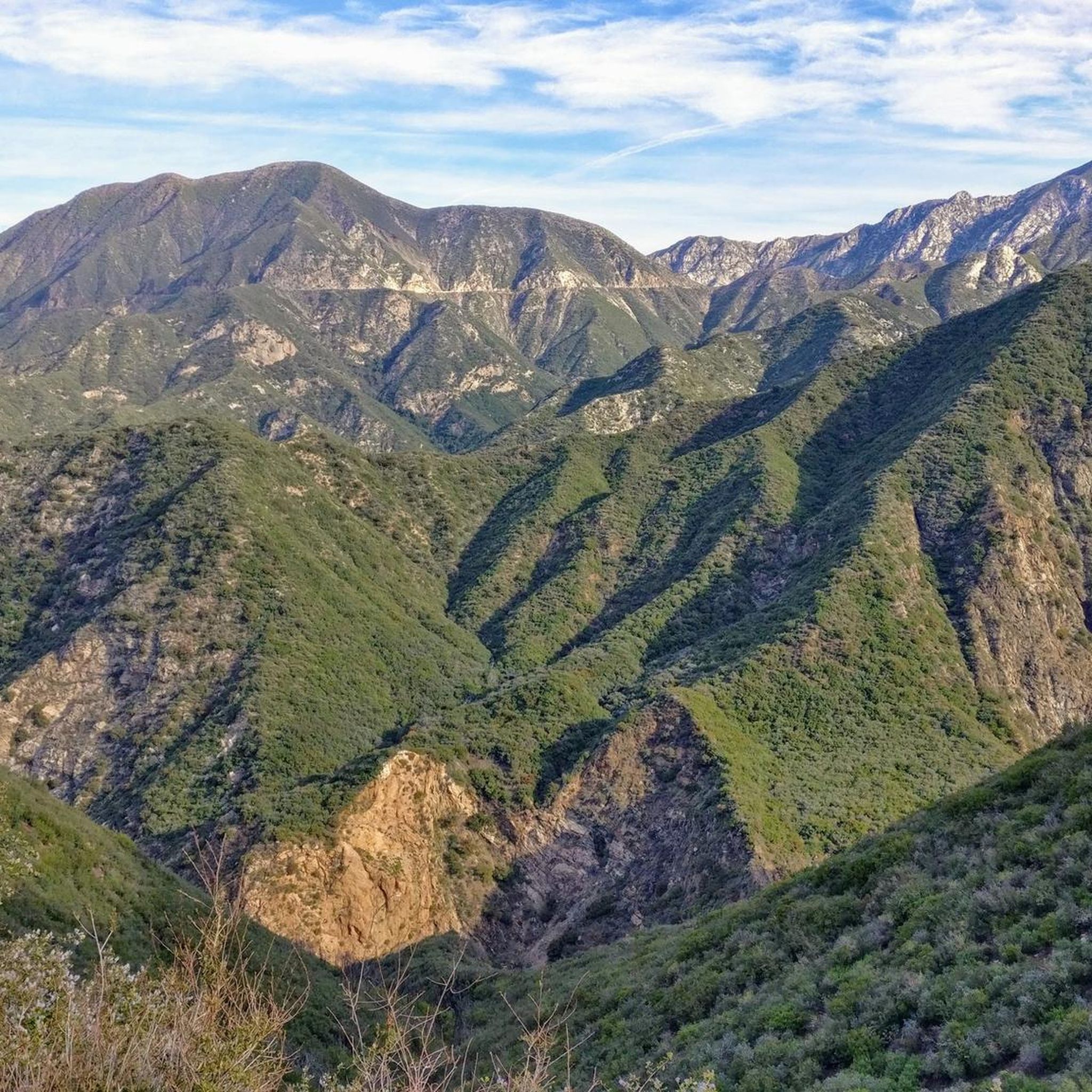
Cherry Canyon Park is an area of 130 acres in the San Rafael Hills, close to La Cañada Flintridge. It features multiple trails and fire roads for horses, mountain bikers and hikers, but also various single tracks that are only for hiking. From the trails, you will get a great overview over the area.
0
0

Great view of Downtown LA. The climb up into the hills to reach the viewpoint is challenging, but it is worth the effort for the excellent vistas.
0
0

Brookside Park is Pasadena's largest fully maintained park at 61.1 acres. It sits south of Rose Bowl Stadium with tons of parking off Arroyo Boulevard. The park features a lighted baseball diamond, two softball diamonds, and a large, lighted, multi-purpose field for soccer and flag football. There is also a speaker's platform with permanent seating, numerous picnic tables, barbecue pits, a play area, restrooms, and drinking fountains.
0
0
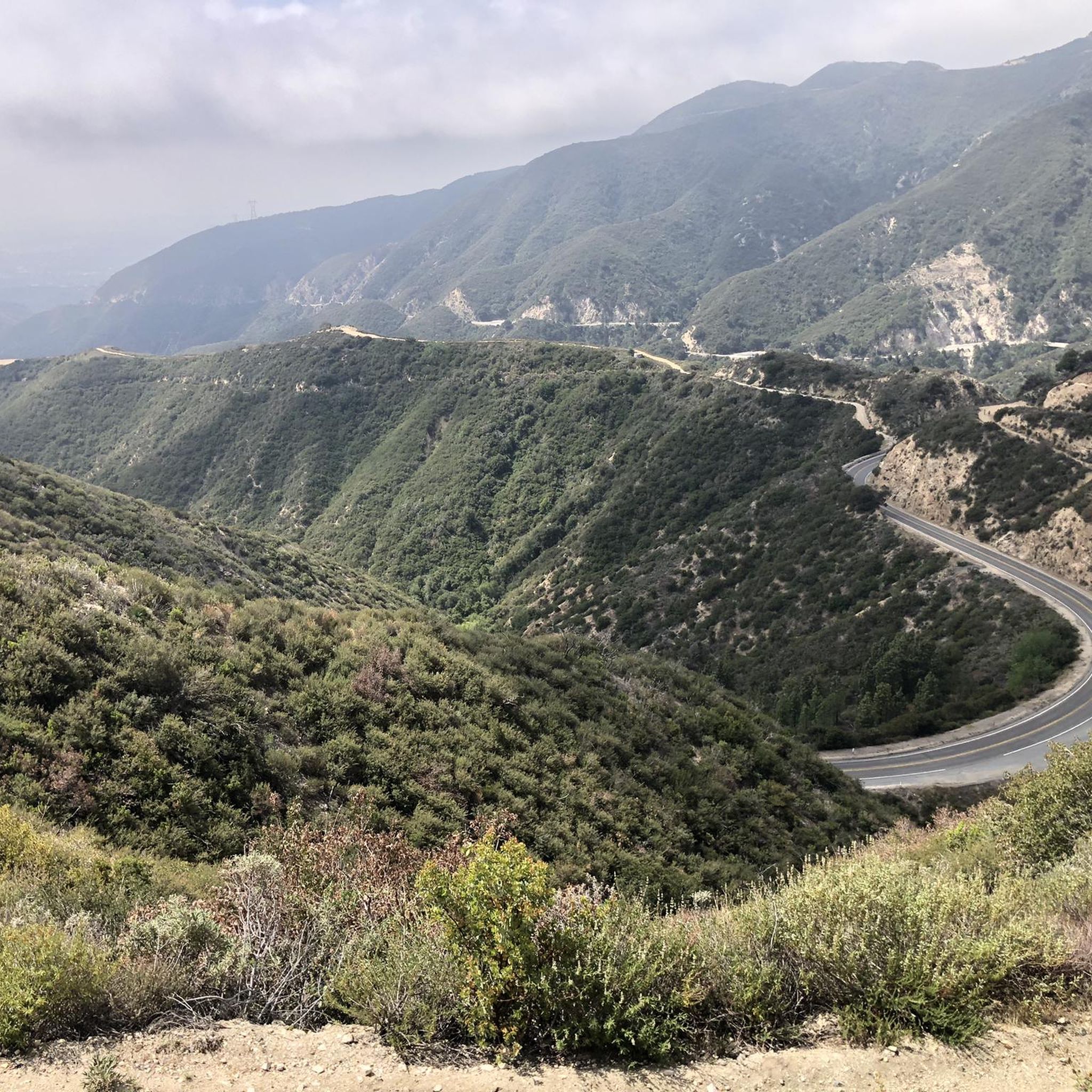
La Tuna Canyon Road is a fairly quiet road that winds through the green hills behind Burbank. There are some ups and downs, but you will be treated to some nice views as you get higher.
0
0

You can approach this 3,124-foot peak from several directions, but the multi-use Verdugo Motorway is the most common uphill option.
0
0

MRCA Open Space is managed by the Mountains Recreation and Conservation Authority, which oversees 75,000 acres of public parkland and open space owned by the Santa Monica Mountains Conservancy, this space offers great views and shaded trails for a refreshing and tranquil biking experience.
1
0
LA City Open Space provides a pleasant ride through a lush forest just moments away from the city. The space offers good shade provided by the trees, enhancing the overall biking experience.
0
0
This overlook, very close to the tower on Cerro Negro, offers one of the best views in the area. Soak in the great vistas towards Glendale, Los Angeles and the Verdugo Mountains.
0
0
Frequently Asked Questions
How many touring cycling routes are available in La Crescenta-Montrose?
There are over 70 touring cycling routes available in La Crescenta-Montrose, offering a wide range of options for different skill levels and preferences.
What is the overall difficulty level of touring cycling in La Crescenta-Montrose?
Touring cycling in La Crescenta-Montrose is characterized by undulating roads and significant elevation changes, particularly in the foothills of the Verdugo Mountains. You'll find a mix of routes: 10 easy, 28 moderate, and 32 difficult, providing options for various fitness levels.
Are there any easy touring cycling routes in La Crescenta-Montrose?
Yes, there are 10 easy touring cycling routes in the area. While the region is known for its climbs, these routes offer a gentler experience, often connecting urban-adjacent paths with less strenuous sections.
Are there challenging touring cycling routes for experienced riders?
Absolutely. La Crescenta-Montrose is well-suited for experienced riders seeking a challenge, with 32 difficult routes. These often feature sustained climbs and descents through mountainous terrain, such as the Inspiration Point – Devil's Gate Dam loop from La Cañada Flintridge, which includes over 1200 meters of elevation gain.
What kind of terrain can I expect on touring cycling routes in La Crescenta-Montrose?
You can expect a diverse landscape, from urban-adjacent paths to secluded routes winding through natural areas. The terrain is largely defined by the foothills of the Verdugo Mountains and nearby canyons, meaning undulating roads with significant elevation changes, challenging climbs, and scenic descents.
Are there any loop touring cycling routes in La Crescenta-Montrose?
Yes, many routes in the area are loops, allowing you to start and end at the same point. Examples include the challenging Verdugo Peak – La Tuna Canyon Road loop from Tuna Canyon Detention Station and the moderate Brand Park – Beaudry North Trail loop from San Rafael Hills Open Space.
What are some scenic viewpoints along the touring cycling routes?
The region offers several scenic viewpoints. You might encounter stunning vistas from View from Mount Lukens or Bee Rock. Many routes also provide panoramic views of the surrounding hills and canyons as you climb.
Are there any routes that pass by interesting landmarks or attractions?
Yes, several routes will take you past notable landmarks. For instance, the Inspiration Point – Devil's Gate Dam loop from La Cañada Flintridge passes by a significant landmark. You can also find routes near historical sites like Brand Library & Park or natural features like Upper Switzer Falls.
Is there parking available near the touring cycling routes?
Parking is generally available at common starting points for routes. For example, the Brookside Park – Parking Lot loop from Glendale Community College indicates a parking lot as its starting point, and many other routes begin near public parks or designated trailheads where parking can be found.
What is the best time of year for touring cycling in La Crescenta-Montrose?
The mild Southern California climate generally allows for touring cycling year-round. However, spring and fall offer the most comfortable temperatures, avoiding the summer heat and potential winter rains. Always check local weather conditions before heading out.
Can I find touring cycling routes suitable for families?
While many routes feature significant elevation, the 10 easy routes in La Crescenta-Montrose are generally more suitable for families or those looking for a less strenuous ride. These routes often stick to flatter sections or dedicated paths.
What do other cyclists say about touring cycling in La Crescenta-Montrose?
The touring cycling routes in La Crescenta-Montrose are highly rated by the komoot community, with an average score of 4.8 stars from over 40 reviews. Cyclists often praise the challenging mountain climbs, scenic canyon roads, and the variety of routes connecting urban areas with natural parks.
Are there any touring cycling routes that are considered 'hidden gems'?
While specific 'hidden gems' are subjective, exploring the less-trafficked moderate routes, such as the Brand Park – Beaudry North Trail loop from San Rafael Hills Open Space, can often lead to quieter experiences and unexpected scenic views away from the most popular trails.
Most popular attractions around La Crescenta-Montrose

Get inspired with the komoot mobile app


Explore more
Browse the best Cycling routes in other regions.
