The best cycling routes around Fruitdale
4.5
(179)
2,893
riders
171
rides
Touring cycling around Fruitdale features routes that navigate a landscape characterized by urban greenways, creek-side paths, and open spaces. The region includes waterways such as Los Gatos Creek and Water Wheel Creek, offering varied terrain for cyclists. Elevation changes range from gentle, flat sections along the creeks to more significant climbs on routes extending into the surrounding areas. The network of routes provides options for different cycling preferences and fitness levels.
Best touring cycling routes around Fruitdale
- The most popular…
Last updated: August 19, 2026
4.6
(12)
104
riders
45.1km
03:01
390m
390m
Moderate bike ride. Good fitness required. Mostly paved surfaces. Suitable for all skill levels.
4.4
(7)
96
riders
19.9km
01:11
70m
70m
Easy bike ride. Great for any fitness level. Mostly paved surfaces. Suitable for all skill levels.

Sign up for free
29
riders
36.6km
02:17
330m
330m
Moderate bike ride. Good fitness required. Mostly paved surfaces. Suitable for all skill levels.
12
riders
60.5km
04:20
1,100m
1,100m
Hard bike ride. Very good fitness required. Mostly paved surfaces. Suitable for all skill levels.
4.0
(1)
13
riders
Easy bike ride. Great for any fitness level. Mostly paved surfaces. Suitable for all skill levels.
Get access to more routes and recommendations from other explorers.
Sign up for free
Already have an account?
Our route recommendations are based on thousands of hikes, rides, and runs completed by other people on komoot.
Start today with a free account
Your next adventure awaits.
Login or Signup

Tips from the Community

This non-profit organization was founded in 1968 in an effort to preserve the history of the steam locomotive and commemorate the life of Billy Jones.
0
0

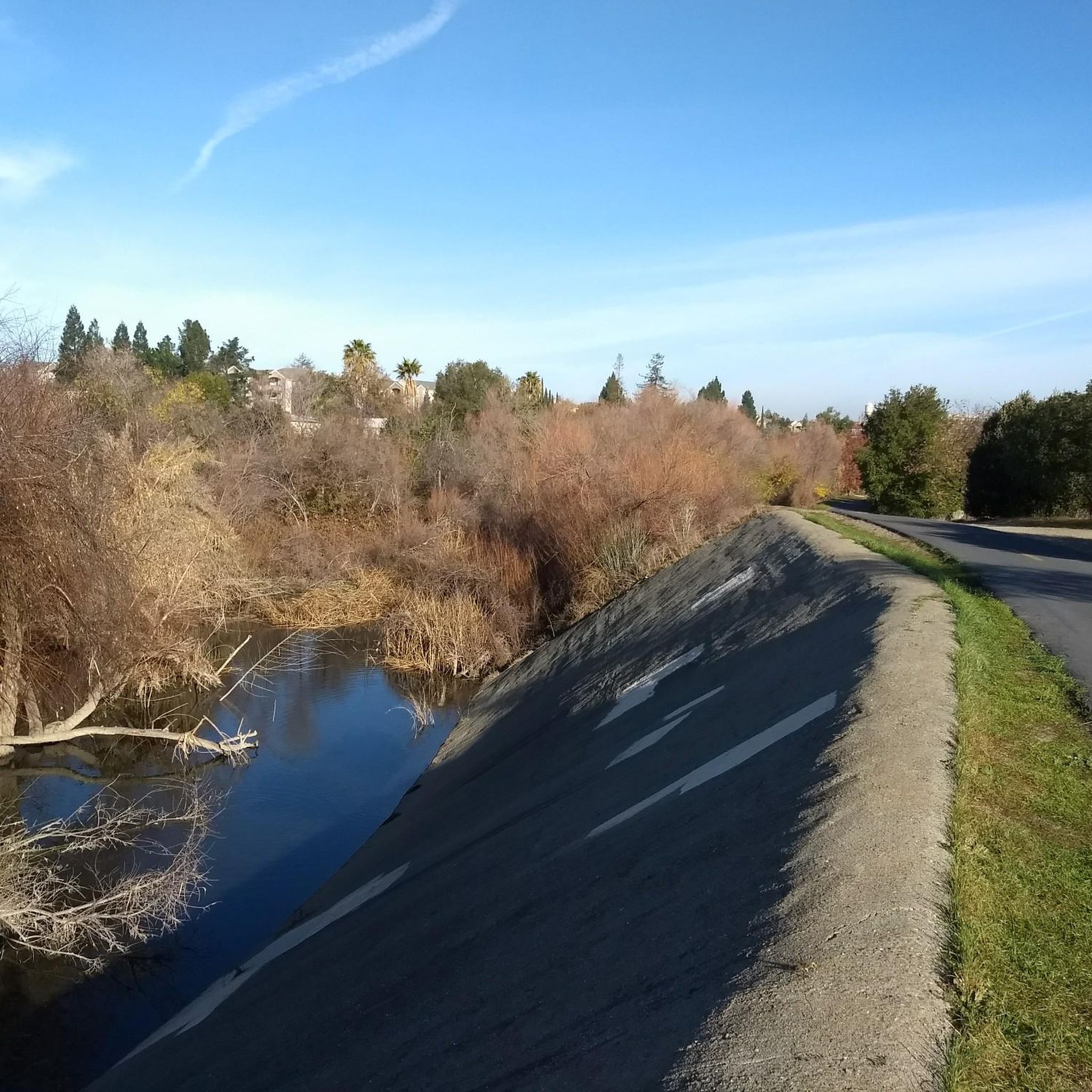
The Los Gatos Creek Trail offers a safe paved trail for walkers, joggers, cyclists, skaters, and nature lovers. Spanning multiple jurisdictions, it runs from San Jose through Campbell and Los Gatos, managed by agencies from these areas. The Campbell section has some nice shady spots, a gazebo, and an exercise circuit near Campbell Park; the whole trail spans about 10 miles.
0
0
Vasona Reservoir, located on Los Gatos Creek, is surrounded by the 152-acre Vasona Lake County Park. Built in 1935 as one of six original reservoirs approved by voters in 1934. Vasona Reservoir holds 495 acre-feet of water and spans 57 acres. The park offers picnicking, catch-and-release fishing, and human-powered boating. Swimming is not permitted. It's a great spot for photography and sunrises.
1
0

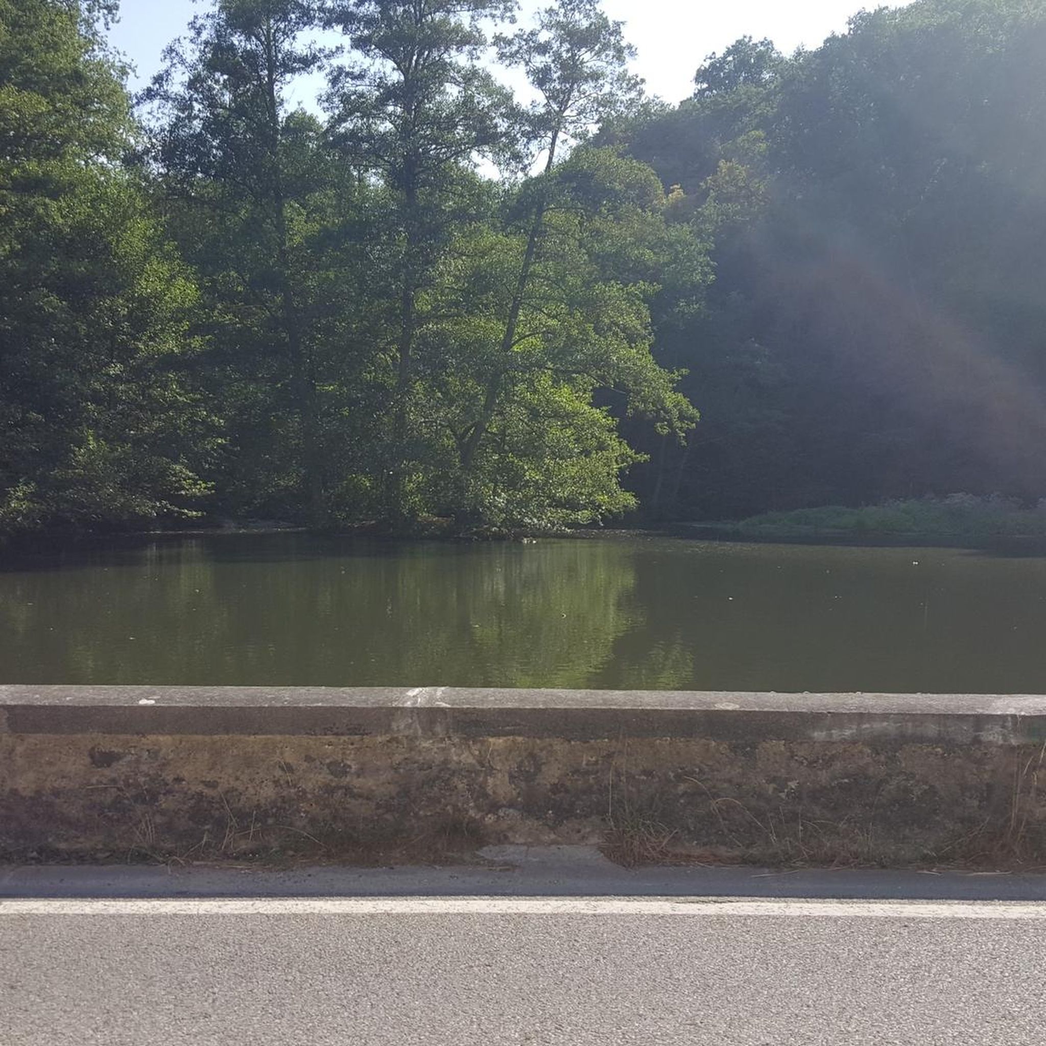
A lovely truss bridge spans the small forested canyon carved by Los Gatos Creek. On the south side there is a large parking lot for the Los Gatos Creek Trail.
1
0

An excellent spot to take a break and enjoy the full breath of Lexington Reservoir. There is a Plaque dedicated to deputy Douglas B. Miller, who was fatally wounded while performing his duties.
0
0

If you keep biking south from here along the Los Gatos Creek Trail, you'll quickly reach Vasona Lake County Park, which has some nice multi-use trail loops where biking is allowed.
0
0
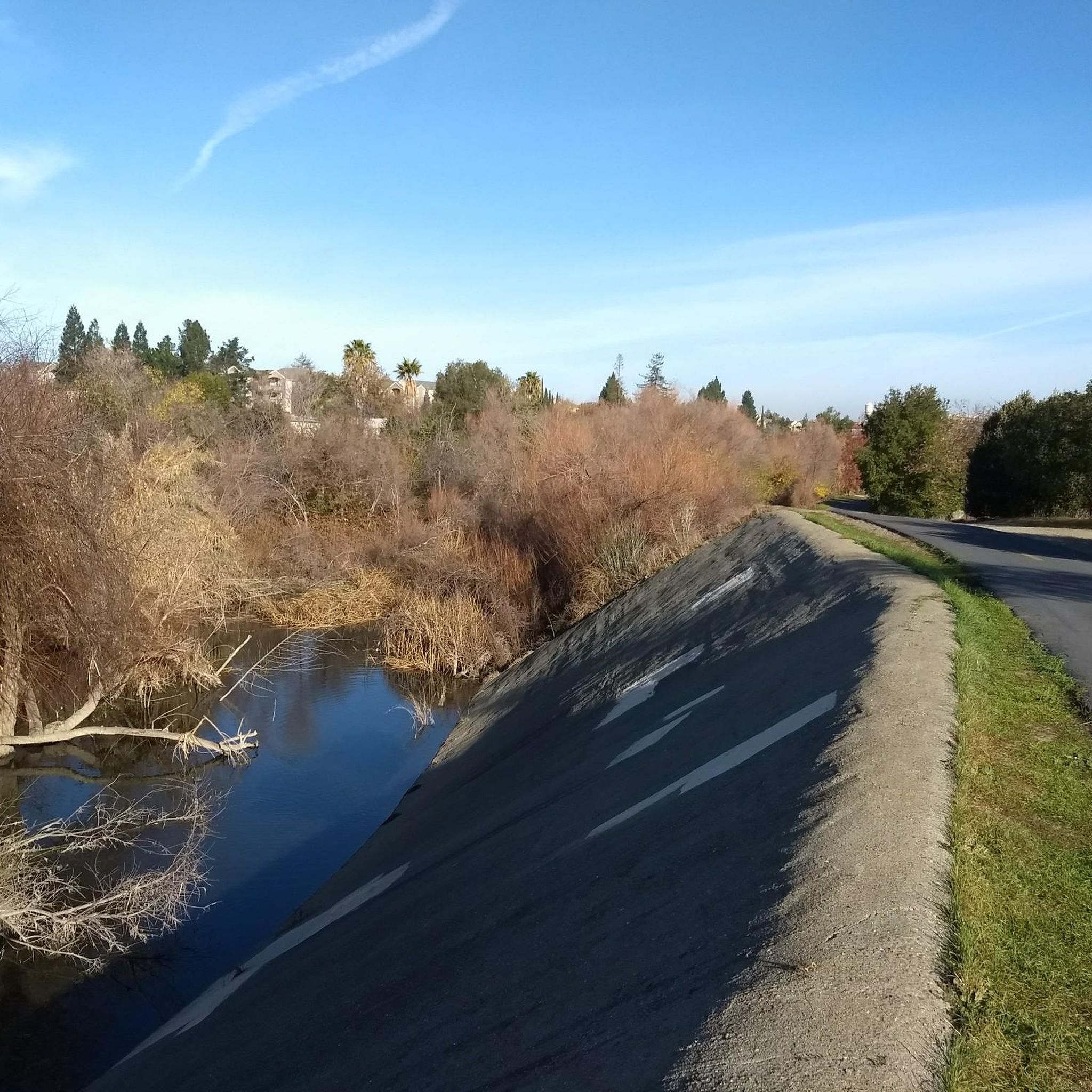
The Los Gatos Creek Trail offers a safe paved trail for walkers, joggers, cyclists, skaters, and nature lovers. Spanning multiple jurisdictions, it runs from San Jose through Campbell and Los Gatos, managed by agencies from these areas. The Campbell section has some nice shady spots, a gazebo, and an exercise circuit near Campbell Park; the whole trail spans about 10 miles.
0
0

This grove is home to one of the Bay Area's most impressive public displays of ornamental eucalyptus species. Planted in 1964 by a local enthusiast, these majestic trees are now over 40 years old and provide a stunning backdrop for capturing photos.
0
0
Frequently Asked Questions
How many touring cycling routes are available around Fruitdale?
There are over 170 touring cycling routes in the Fruitdale area, catering to various skill levels and preferences. This includes 74 easy routes, 67 moderate routes, and 32 difficult routes.
Are there any easy touring bike trails suitable for beginners in Fruitdale?
Yes, Fruitdale offers several easy touring bike trails. A great option is the Los Gatos Creek (east bank) – Camden Ponds loop from Campbell, which is 12.3 miles (19.8 km) long and follows the Los Gatos Creek, offering a mostly flat ride.
What kind of terrain can I expect on touring bike routes in Fruitdale?
Touring cycling routes in Fruitdale navigate a diverse landscape. You'll find urban greenways, scenic creek-side paths along waterways like Los Gatos Creek and Water Wheel Creek, and open spaces. Elevation changes vary from gentle, flat sections to more significant climbs on routes extending into the surrounding areas.
Are there any longer or more challenging touring routes for experienced cyclists?
Absolutely. For a more challenging ride, consider the Water Wheel Creek Trail – Campbell Water Tower loop from Hamilton. This route is 38.3 miles (61.6 km) and features significant elevation gain. Another demanding option is the Camden Ponds – Los Gatos Creek (east bank) loop from Bascom, which spans 74.6 km with substantial climbs.
What are some interesting places to see or landmarks along the touring cycling routes?
Along the routes, you can explore several natural and man-made attractions. Notable spots include Camden Ponds, Vasona Lake County Park, and Almaden Lake. You might also encounter the unique Lupe the Mammoth monument or ride along sections of the Guadalupe River Trail, Park & Gardens.
Are there any circular touring bike routes in the Fruitdale area?
Yes, many of the touring cycling routes in Fruitdale are designed as loops. For example, the popular Los Gatos Creek (east bank) – Camden Ponds loop from Fruitdale offers a moderate 28.0 miles (45.1 km) circular path, combining creek-side riding with views around Camden Ponds.
What do other touring cyclists say about the routes in Fruitdale?
The touring cycling routes in Fruitdale are highly regarded by the komoot community, holding an average rating of 4.5 stars from over 160 reviews. Cyclists often praise the varied terrain, from peaceful creek paths to more challenging climbs, and the well-maintained nature of the trails.
Are there any touring routes that are particularly scenic or offer good views?
Routes that follow the Los Gatos Creek, such as the Los Gatos Creek (east bank) – Camden Ponds loop from Bascom, offer pleasant creek-side views and natural scenery. Routes that extend into areas like Vasona Lake County Park also provide picturesque lake views and green spaces.
What is the best time of year to go touring cycling in Fruitdale?
Fruitdale generally enjoys a mild climate, making touring cycling enjoyable for much of the year. Spring and fall often offer the most comfortable temperatures for longer rides, with pleasant weather and vibrant scenery. Summer can be warm, especially in the afternoon, while winters are typically mild but can bring occasional rain.
Are there options for different fitness levels among the touring routes?
Yes, the network of routes in Fruitdale is designed to accommodate various fitness levels. You can find numerous easy, mostly flat paths suitable for a relaxed ride, as well as moderate routes with some rolling terrain, and difficult routes featuring significant elevation gains for those seeking a greater challenge.
What kind of surfaces can I expect on the touring cycling routes?
The touring cycling routes around Fruitdale feature a mix of surfaces. You'll encounter paved sections, especially along urban greenways and dedicated bike paths, as well as well-maintained gravel or compacted dirt paths along creek-sides and through open spaces. It's advisable to check individual route details for specific surface information.
Most popular attractions around Fruitdale

Get inspired with the komoot mobile app


Explore more
Browse the best Cycling routes in other regions.
