The best road cycling routes around Dollar Point
5.0
(10)
1,355
riders
27
rides
Road cycling around Dollar Point offers routes along the scenic shores of Lake Tahoe and into the surrounding Sierra Nevada foothills. The terrain features a mix of rolling lakeside paths and more challenging ascents into higher elevations. Road cyclists can expect varied landscapes, from forested sections to open views across the lake. The area provides diverse road cycling experiences for different skill levels.
Best road cycling routes around Dollar Point
- The most popular road cycling route is Lookout Mountain loop…
Last updated: July 7, 2026
5.0
(2)
132
riders
64.6km
02:55
660m
670m
Moderate road ride. Good fitness required. Mostly well-paved surfaces and easy to ride.
3.0
(1)
59
riders
31.8km
01:16
150m
150m
Easy road ride. Great for any fitness level. Mostly well-paved surfaces and easy to ride.

Sign up for free
49
riders
72.3km
03:19
770m
770m
Moderate road ride. Good fitness required. Mostly well-paved surfaces and easy to ride.
21
riders
64.4km
03:22
1,160m
1,160m
Hard road ride. Very good fitness required. Mostly well-paved surfaces and easy to ride.
11
riders
33.4km
01:39
490m
490m
Moderate road ride. Good fitness required. Mostly well-paved surfaces and easy to ride.
Get access to more routes and recommendations from other explorers.
Sign up for free
Already have an account?
Our route recommendations are based on thousands of hikes, rides, and runs completed by other people on komoot.
Start today with a free account
Your next adventure awaits.
Login or Signup


Tips from the Community

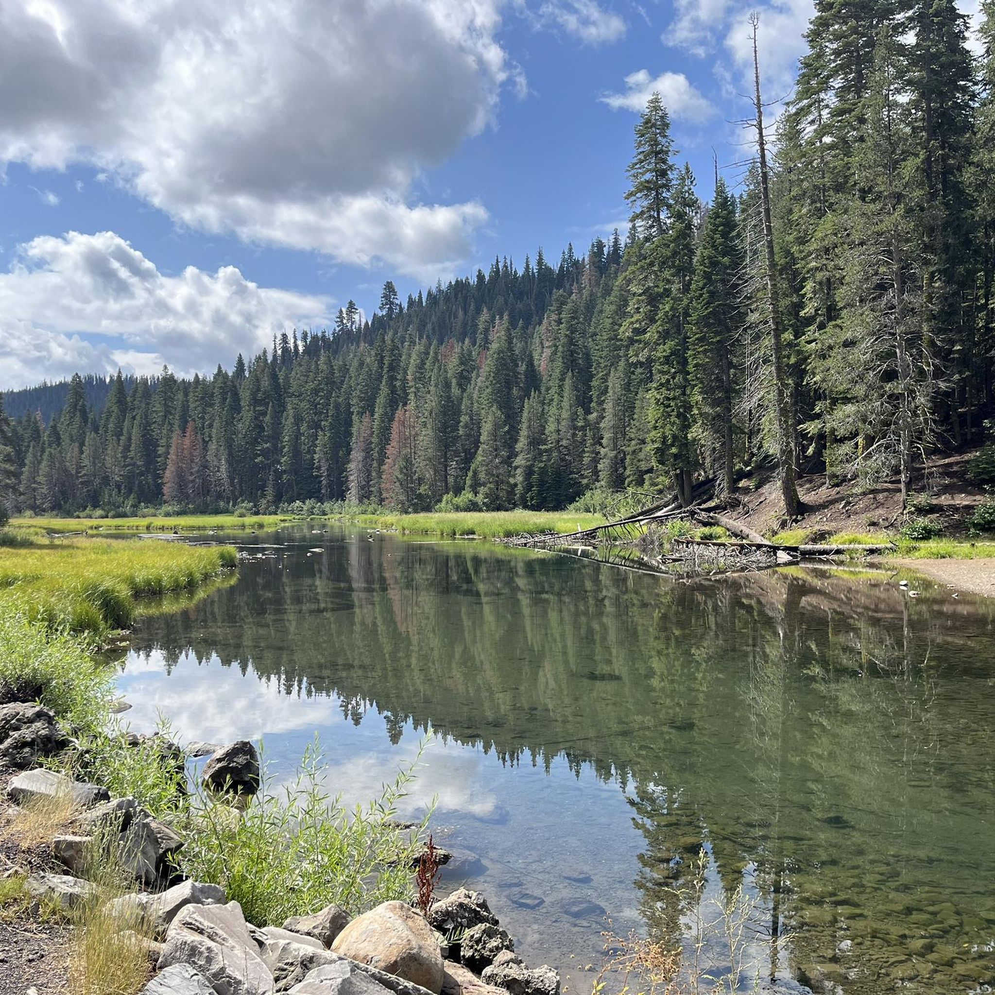
The Tahoe Rim Trail crosses the 121-mile-long Truckee River. Stare down into the crystal clear, cold water. Truckee River is the only outlet of Lake Tahoe, and it empties into Pyramid Lake, creating an Truckee River is the only outlet of Lake Tahoe and it empties into Pyramid Lake creating an endorheic (closed) basin. (closed) basin.
0
0

Fantastic views. Unfortunately, completely overcrowded.
0
0

The Bayview Campground would offer a good parking lot. However, it is now closed until Spring 2025. Maybe one has to consider parking along the street during day trips.
0
0

This state park has nearly two miles of shoreline and over 2,500 acres of forested mountains. The name of this park changed from Sugar Pine Point State Park to Ed Z'berg Sugar Pine Point State Park in 2009 to honor Edwin L. Z'berg, a very environmentally-involved California state assemblyman.
0
0
Lake Tahoe Commons Beach is just a one-minute walk from the main street of Tahoe City. A nice beachfront area and a fantastic swimming spot.
0
0
Pole Creek Road Trailhead is on Tahoe River Road and has a small area for parking. The trailhead is right next to Pole Creek, and the Pole Creek Road Trail brings hikers all the way up to the Pacific Crest Trail eventually.
0
0

The Historic Truckee River Bike Path is a popular ride for individuals and families alike. Flat and well paved, the main obstacles will be other trail users. This path provides easy access to the Truckee River as well as connections to many other trails in the area.
0
0
Frequently Asked Questions
What kind of road cycling difficulty can I expect around Dollar Point?
Road cycling around Dollar Point offers a diverse range of routes. You'll find everything from easy lakeside paths with gentle gradients to more challenging ascents into the Sierra Nevada foothills. The area features 9 easy routes, 12 moderate routes, and 3 difficult routes, catering to various skill levels.
Are there road cycling routes suitable for beginners in Dollar Point?
Yes, Dollar Point has several easy road cycling options perfect for beginners. An excellent choice is the Tahoe City loop from Dollar Point, an easy 20.9-mile (33.7 km) path that follows the lake shore with gentle gradients.
What options are available for experienced road cyclists seeking a challenge?
Experienced road cyclists will find challenging routes with significant elevation gain around Dollar Point. The North Tahoe Beach – Kings Beach-Crystal Bay loop from Dollar Point is a difficult 40.0-mile (64.4 km) trail with over 1,100 meters of elevation gain, offering a substantial workout and varied terrain.
What is the typical length of road cycling routes in the Dollar Point area?
Road cycling routes in Dollar Point vary in length to suit different preferences. You can find shorter loops like the Tahoe City loop from Cinder Cone at about 9.5 miles (15.3 km), to longer, more challenging rides such as the Lookout Mountain loop, which spans 40.1 miles (64.6 km).
When is the best time of year to go road cycling in Dollar Point?
The best time for road cycling in Dollar Point is typically from late spring through early fall (May to October) when the weather is mild, and roads are clear of snow. During these months, you can enjoy the scenic lakeside paths and mountain ascents in comfortable conditions.
Are there family-friendly road cycling routes around Dollar Point?
Yes, the Dollar Point area offers family-friendly road cycling options, particularly along the lake shore. Routes with gentle gradients and paved paths, such as sections of the Tahoe City loop from Dollar Point, are suitable for families looking for a relaxed ride.
What can I see along the road cycling routes in Dollar Point?
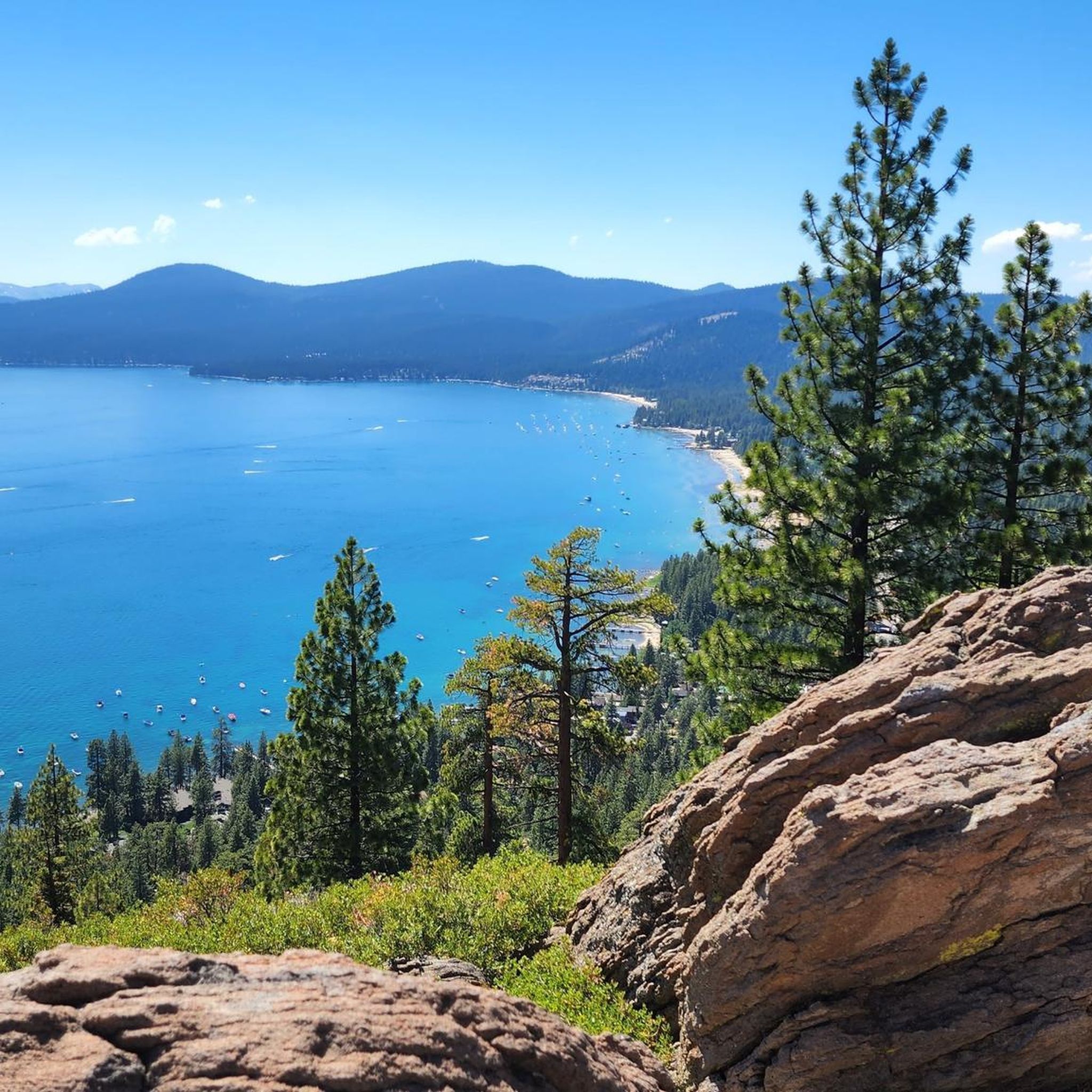
Many road cycling routes in Dollar Point offer stunning views of Lake Tahoe and pass by various points of interest. You might encounter natural landmarks like Picnic Rock or enjoy sections of the Truckee River Trail. The area is rich in scenic beauty, from forested sections to open lake vistas.
Are there any interesting landmarks or viewpoints around Dollar Point?
Absolutely. Beyond the routes themselves, the Dollar Point area is home to several notable landmarks and viewpoints. You can find places like Picnic Rock and Painted Rock, offering unique natural features. For panoramic views, consider routes that pass by areas with clear sightlines of Lake Tahoe.
What do other road cyclists enjoy the most about road cycling in Dollar Point?
The area is highly rated by the komoot community, with an average score of 4.5 stars from over 7 reviews. Reviewers often praise the diverse terrain, from scenic lakeside paths to challenging mountain ascents, and the beautiful views of Lake Tahoe. The variety of routes catering to different skill levels is also frequently highlighted.
Are there any circular road cycling routes in Dollar Point?
Yes, many of the road cycling routes around Dollar Point are designed as loops, allowing you to start and end in the same location. Examples include the popular Lookout Mountain loop and the Tahoe City – Lake Tahoe Commons Beach loop from Idlewild.
How many road cycling routes are available in Dollar Point?
There are over 20 road cycling routes available around Dollar Point, offering a wide range of distances and difficulties. This includes 9 easy, 12 moderate, and 3 difficult routes, ensuring options for every type of road cyclist.
Are there less crowded road cycling trails in Dollar Point?
While popular routes can see more traffic, exploring some of the less-traveled mountain ascents or routes slightly further from the immediate lake shore can offer a quieter experience. Early mornings or weekdays are generally the best times to find less crowded conditions on any route.
Most popular routes around Dollar Point
Most popular attractions around Dollar Point

Get inspired with the komoot mobile app


Explore more
Browse the best Road cycling routes in other regions.
