The best cycling routes around Coto De Caza
4.7
(22)
597
riders
53
rides
Touring cycling routes around Coto De Caza traverse a landscape characterized by gently rolling hills, diverse canyons, and expansive natural reserves. The region features significant oak groves and sycamore trees, alongside red sandstone formations, offering varied terrain for cyclists. Many routes include paved paths and well-maintained surfaces, making them suitable for touring bikes. Scenic vistas across Orange County and towards the Cleveland National Forest are common along these routes.
Best touring cycling routes around Coto De Caza
- The most popular touring cycling route is Vista Point – O'Neill Regional Park loop from Rancho Santa Margarita, a 23.1 miles (37.1 km) trail that takes 3 hours 19 minutes to complete. This difficult route offers varied terrain and scenic views of O'Neill Regional Park.
- Another top favourite among local touring cyclists is Trabuco Creek Trails – Town Center Gazebo loop from Ladera Ranch, a moderate 12.3 miles (19.8 km) path. This route follows mostly paved surfaces along Trabuco Creek, providing a smooth ride.
- Local touring cyclists also love the Trabuco Creek – O'Neill Regional Park loop from Ladera Ranch, a 20.8 miles (33.5 km) trail leading through natural reserves and along Trabuco Creek, often completed in about 2 hours 57 minutes.
- Touring cycling around Coto De Caza is defined by rolling hills, diverse canyons, and natural reserves with oak groves and sycamore trees. The network offers options for easy, moderate, and difficult routes, accommodating various ability levels.
- The routes in Coto De Caza are highly rated by the komoot community with an average score of 4.9 stars from over 29 reviews. More than 400 touring cyclists have used komoot to explore Coto De Caza's varied terrain.
Last updated: October 13, 2026
23
riders
Hard bike ride. Very good fitness required. Mostly paved surfaces. Suitable for all skill levels.
22
riders
15.4km
01:25
280m
280m
Moderate bike ride. Good fitness required. Mostly paved surfaces. Suitable for all skill levels.

17
riders
19.7km
01:53
320m
330m
Moderate bike ride. Good fitness required. Mostly paved surfaces. Suitable for all skill levels.
5.0
(1)
15
riders
Hard bike ride. Very good fitness required. Mostly paved surfaces. Suitable for all skill levels.
13
riders
17.7km
01:32
190m
190m
Moderate bike ride. Good fitness required. Mostly paved surfaces. Suitable for all skill levels.
Get access to more routes and recommendations from other explorers.
Already have an account?
Our route recommendations are based on thousands of hikes, rides, and runs completed by other people on komoot.
Start today with a free account
Your next adventure awaits.
Tips from the Community

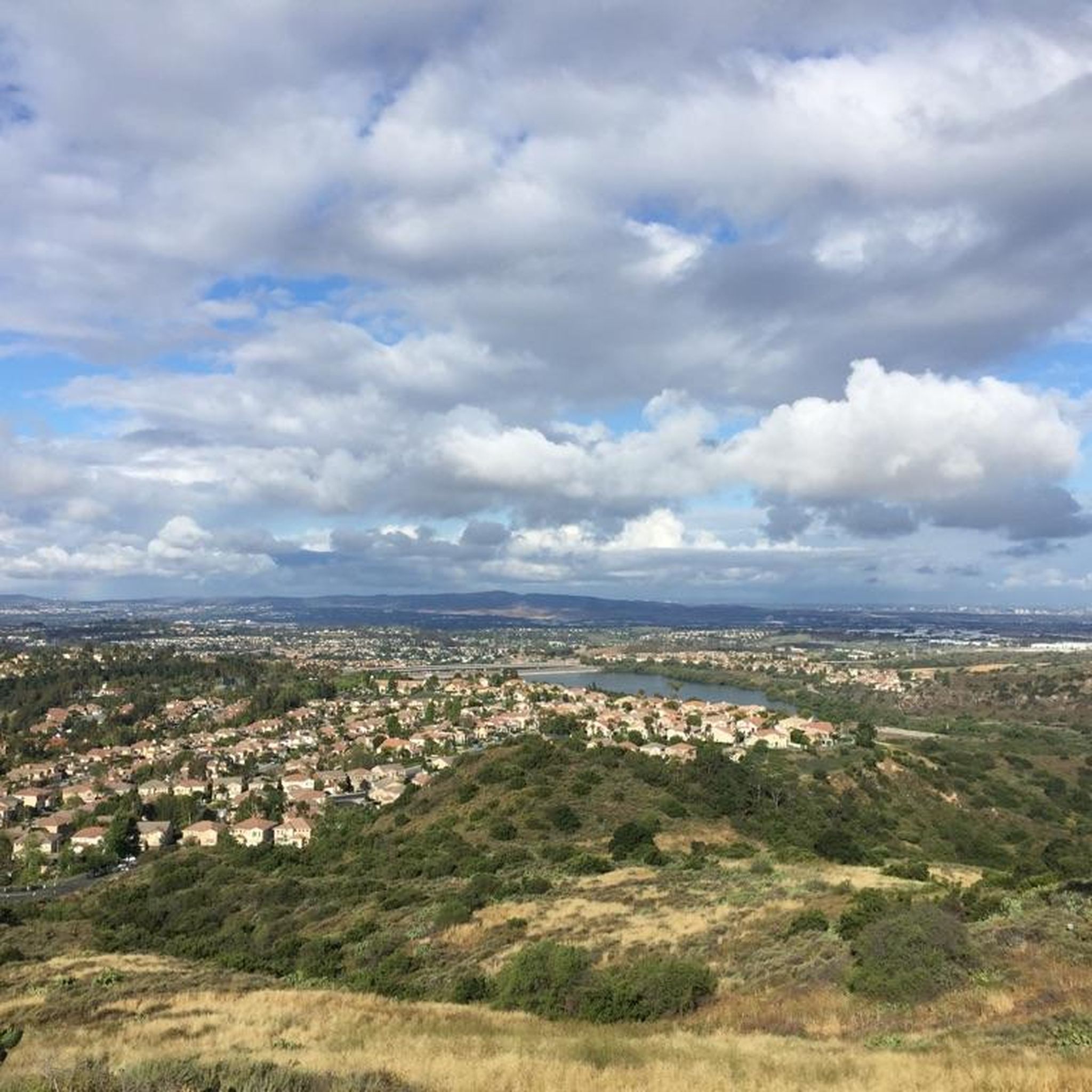
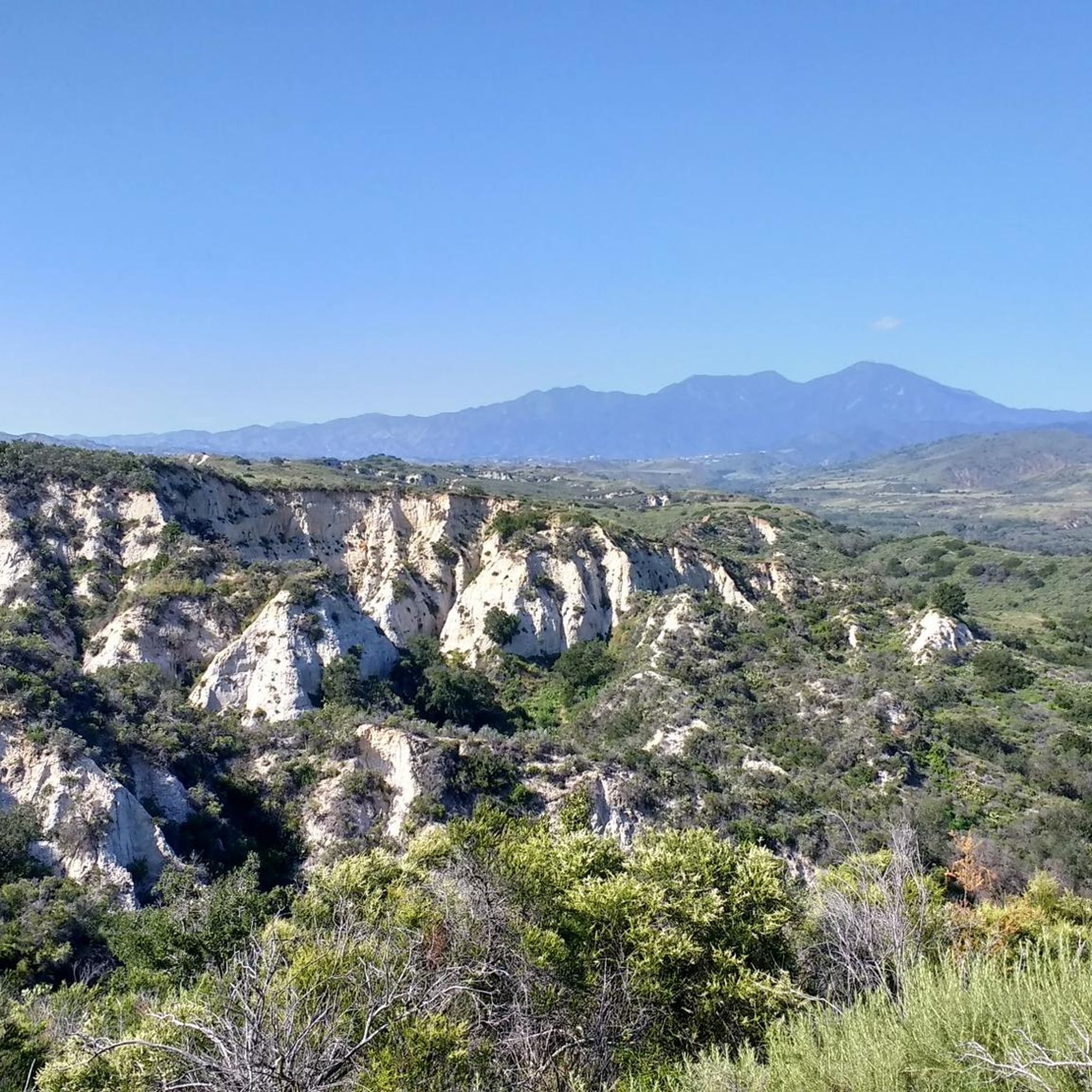
You can explore a variety of singletrack and wide gravel paths through the park. Some trails are shaded while others take you out above the canyon with vistas of Orange County. There are restrooms, picnic tables, and camping available. The park charges a $3 fee.
0
0

The Arroyo Trabuco Trail crosses the Trabuco Creek here (and a good number of times along the route). Depending on the season and conditions, you may well find that bombing through is not an option, so just be prepared for some wet feet.
0
0

The mission was founded in 1776 by Spanish missionaries of the Franciscan order. The history of the mission is presented very impressively here with many old and well-preserved artifacts and buildings. A visit is worthwhile. The mission is not yet overrun by tourists, so you can get in without any problems even without booking in advance. The entrance fee is $18 for adults. An audio guide is included.
1
0


Mission San Juan Capistrano was founded more than two hundred years ago, in 1776. It was the 7th of 21 missions in California. This mission is one of the few that only allows visitors with a purchased tour, but riding by bikers can get a view of the old structures.
0
0
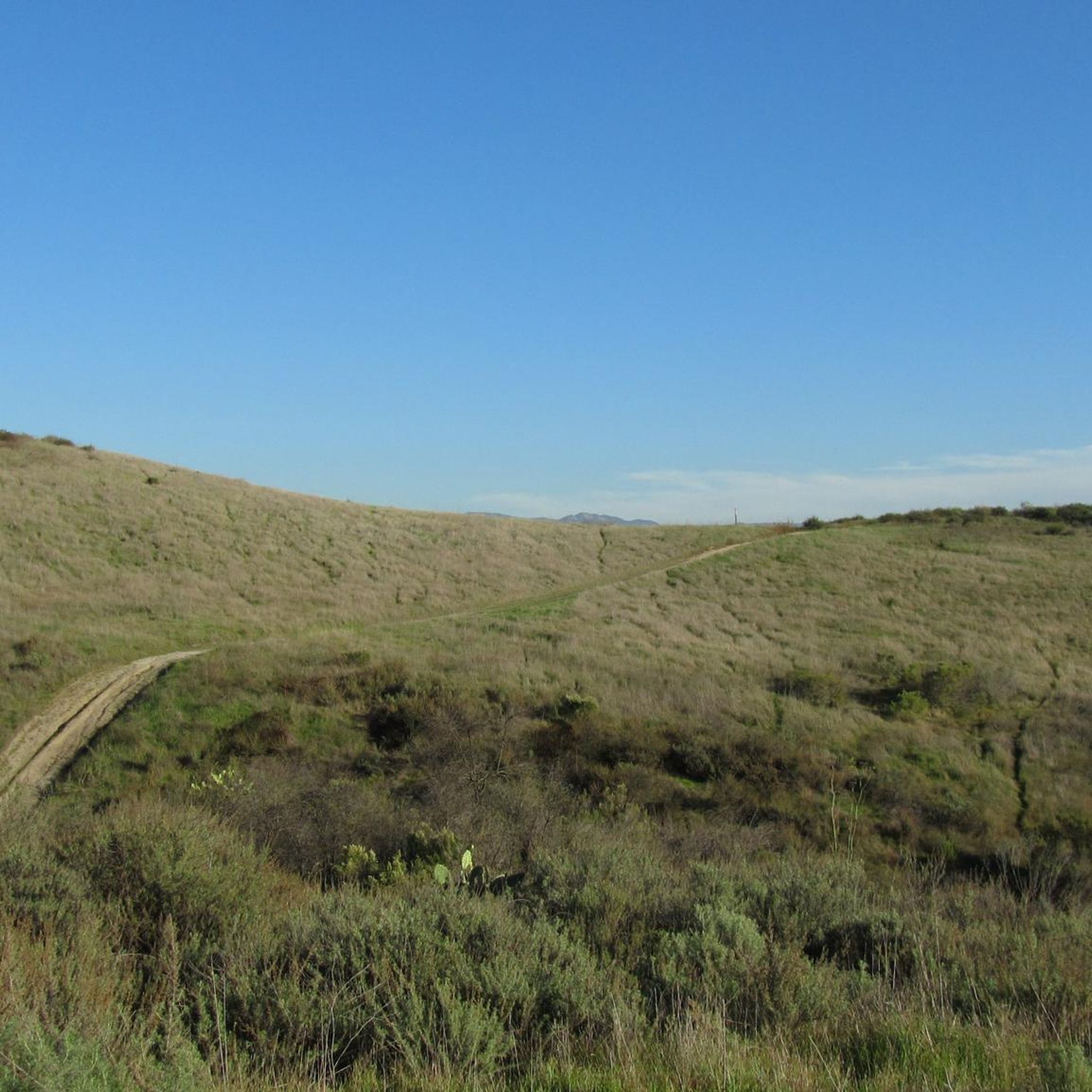
There is a good network of wide gravel and packed dirt trails that run along Trabuco Creek west of Ladera Ranch. There are many places where you can cross the creek to access the trails in the arroyos on the other side.
1
0
The Trabuco Creek Trail converges with the San Juan Creek Trail at Descanso Park and crosses to the west side of the river via a bridge. All of the creek trails are two lane paved paths.
0
0
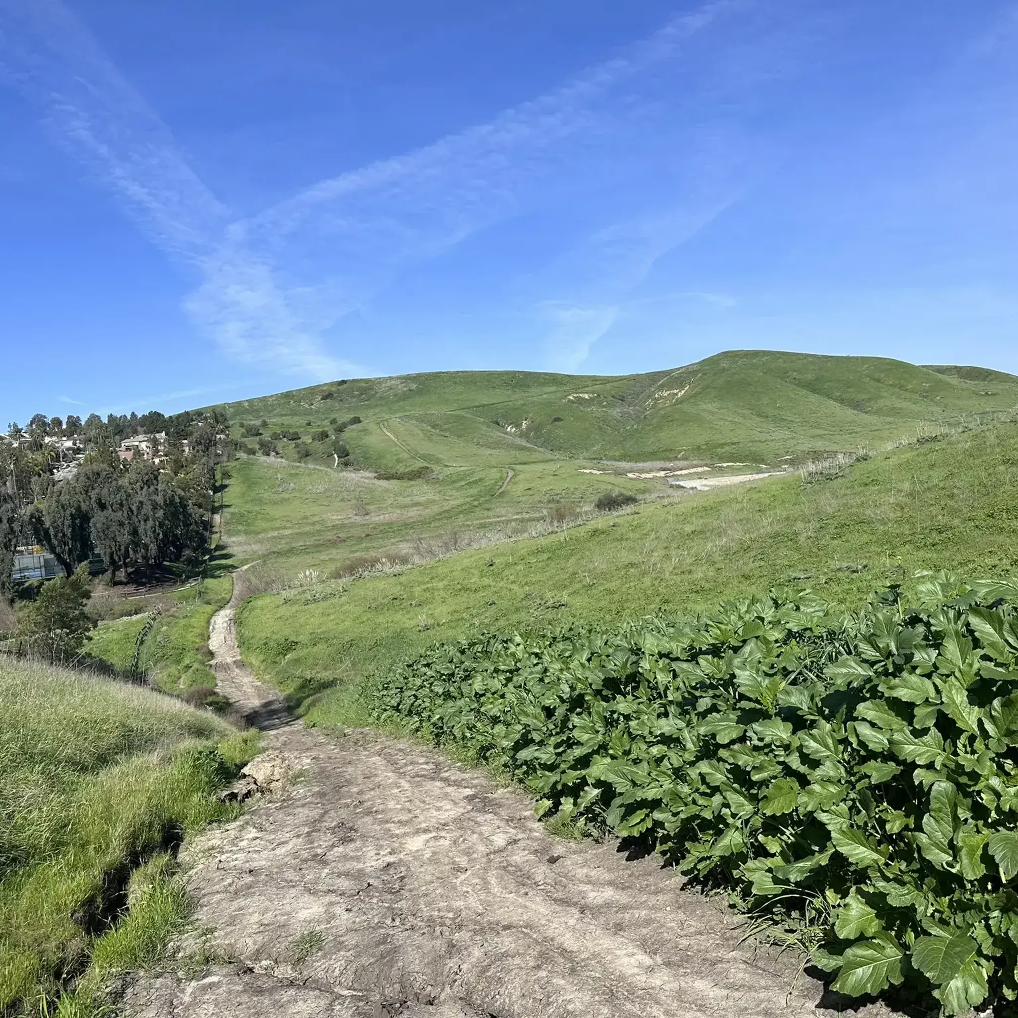
Here the trail crosses under the Antonio Pkwy bridge. Much of the trail is doubletrack, though you will find some singletrack segments between the trailhead and Trabuco Creek.
0
0
Frequently Asked Questions
How many touring cycling routes are available in Coto De Caza?
There are over 50 touring cycling routes around Coto De Caza, offering a diverse range of experiences. These routes are highly rated by the komoot community, with an average score of 4.9 stars from over 29 reviews.
Are there easy touring bike trails suitable for beginners or families in Coto De Caza?
Yes, Coto De Caza offers several easy touring cycling routes perfect for beginners or families. For example, the Trabuco Creek Trails provide mostly paved surfaces along Trabuco Creek, offering a smooth and accessible ride. You can find 6 easy routes in the area.
What kind of terrain can I expect on touring bike routes in Coto De Caza?
Touring cycling routes in Coto De Caza feature gently rolling hills, diverse canyons, and expansive natural reserves. You'll encounter significant oak groves and sycamore trees, as well as red sandstone formations. Many routes utilize paved paths and well-maintained surfaces, making them ideal for touring bikes.
Are there any challenging touring bike routes for experienced cyclists?
Absolutely. For experienced touring cyclists seeking a challenge, Coto De Caza offers 15 difficult routes. A notable option is the Vista Point – O'Neill Regional Park loop from Rancho Santa Margarita, a 23.1-mile trail with significant elevation gain and varied terrain.
What are some popular loop touring bike trails in the area?
Many touring routes in Coto De Caza are designed as loops, allowing you to start and finish in the same location. Popular options include the Trabuco Creek Trails – Town Center Gazebo loop from Ladera Ranch, which follows paved paths, and the Trabuco Creek – O'Neill Regional Park loop from Ladera Ranch, leading through natural reserves.
What natural attractions or landmarks can I see along the touring cycling routes?
Coto De Caza's routes offer scenic vistas across Orange County and towards the Cleveland National Forest. You can explore areas like O'Neill Regional Park, known for its oak groves and sycamore trees. Other natural highlights include Holy Jim Falls and the striking Red Rock Canyon.
Are there any historical sites or points of interest accessible by touring bike?
Yes, some routes will take you near significant historical sites. For instance, the Descanso Park – Mission San Juan Capistrano loop from Los Patrones offers a chance to visit the historic Mission San Juan Capistrano.
What do other touring cyclists enjoy most about cycling in Coto De Caza?
The area is highly rated by the komoot community, with an average score of 4.9 stars. Reviewers often praise the varied terrain, from gentle hills to scenic canyons, and the well-maintained paths that make for an enjoyable touring experience. The natural beauty, including oak groves and sycamore trees, is also frequently highlighted.
Are there any routes that feature specific natural formations like red rocks?
Yes, the region is known for its red sandstone formations. You can find these geological features along routes that pass through areas like Red Rock Trail — Whiting Ranch Wilderness Park and Red Rock Canyon, offering unique visual appeal.
What is the typical length of touring bike routes in Coto De Caza?
Touring bike routes in Coto De Caza vary in length to suit different preferences. You can find shorter routes, such as the Waterworks Flow Trail – Trabuco Creek loop from Rancho Santa Margarita at 11 miles (17.7 km), to longer, more challenging rides like the Vista Point – O'Neill Regional Park loop from Rancho Santa Margarita, which is 23.1 miles (37.1 km).
Are there any places to stop for refreshments or a break along the routes?
While Coto De Caza is primarily residential, routes often connect to areas with amenities. For example, Cook's Corner is a well-known local pub that can be a convenient stop for refreshments on some routes.
Most popular attractions around Coto De Caza

Get inspired with the komoot mobile app


Explore more
Browse the best Cycling routes in other regions.
