The best running trails around Cleone
85
runners
7
runs
Jogging around Cleone, California, offers diverse coastal landscapes within MacKerricher State Park. The region features expansive beaches like Ten Mile Beach, rugged bluffs, and unique geological formations such as Glass Beach. Inland, runners can explore wooded areas and the tranquil Cleone Lake, providing varied terrain for outdoor activities. The area is characterized by its blend of Pacific coastline, sand dunes, and forested sections, making it ideal for scenic running.
Best jogging routes around Cleone
- The most popular jogging route is…
Last updated: October 11, 2026
18
runners
Moderate run. Good fitness required. Mostly paved surfaces. Suitable for all skill levels.
26
runners
9.62km
01:01
50m
50m
Moderate run. Good fitness required. Mostly paved surfaces. Suitable for all skill levels.

17
runners
9.17km
00:59
40m
40m
Moderate run. Good fitness required. Mostly paved surfaces. Suitable for all skill levels.
7
runners
19.4km
02:01
110m
110m
Hard run. Very good fitness required. Mostly paved surfaces. Suitable for all skill levels.
7
runners
Hard run. Very good fitness required. Mostly paved surfaces. Suitable for all skill levels.
Get access to more routes and recommendations from other explorers.
Already have an account?
Our route recommendations are based on thousands of hikes, rides, and runs completed by other people on komoot.
Start today with a free account
Your next adventure awaits.
Popular around Cleone
Tips from the Community

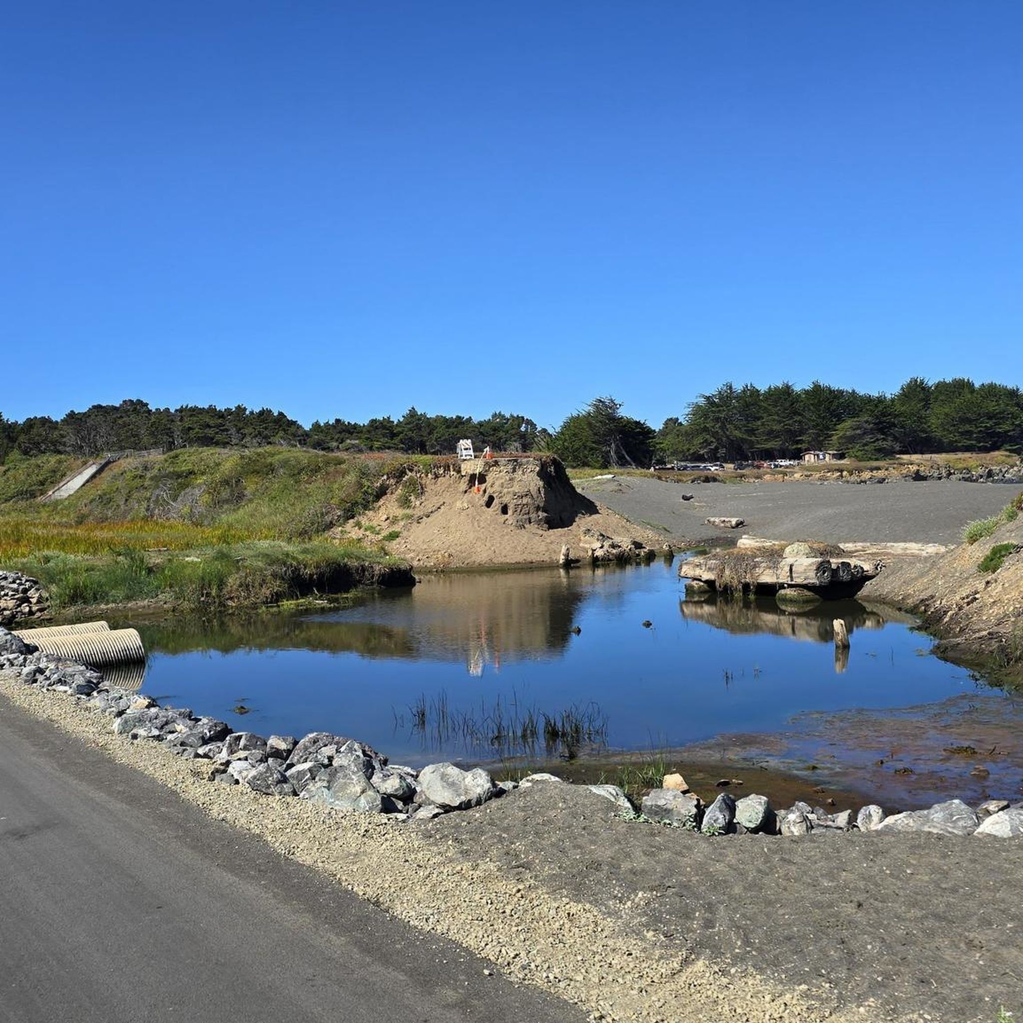
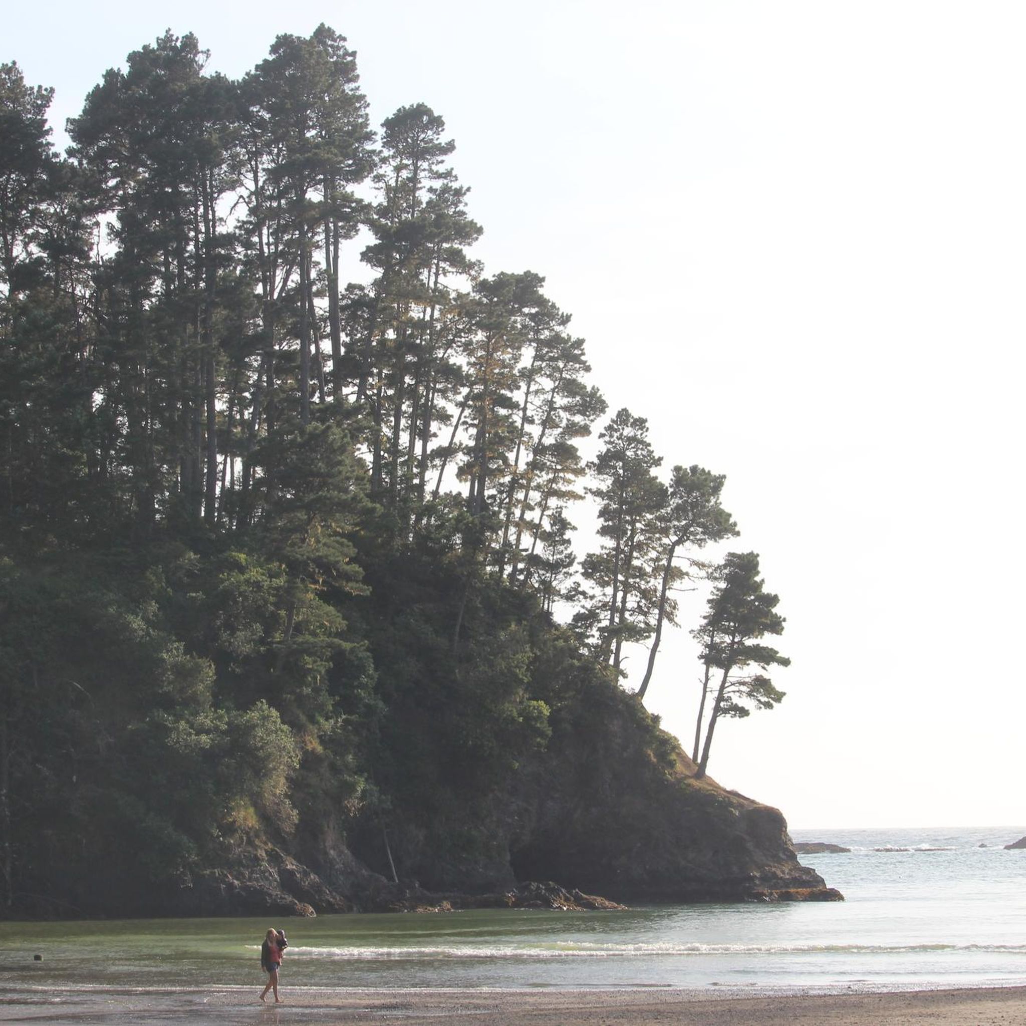
MacKerricher Beach is a long beach in MacKerricher State Park. It is a great place for a break during a long walk.
0
0

This multi-use trail runs along the bed of an old logging haul road and railroad, along the majestic coastal bluffs of the Pacific, and is one of the longest continuous whale-watching locations on the West Coast. It's a spectacular stretch of coastline worthy of stopping to capture some fantastic photos.
0
0
Fort Bragg is a small coastal city that was originally founded as a military garrison in 1857. It later became a lumber and fishing hub. Now, it is a popular stop for cyclists and hikers who are traveling along the Pacific Coast.
0
0
Noyo Headlands Park is a popular park that is over 104 acres along coastal cliffs. There is a multiuse trail (Ka Kahlen Trail) that cuts through the park.
0
0

There's not much glass left on "Glass Beach." It seems to have been collected by eager tourists. You have to look very closely to see even a few shards of glass. Despite the ban, the only activity tourists seem to be doing there is collecting the last pieces of glass. It was absolutely not worth it.
0
0
This multi-use trail runs along the bed of an old logging haul road and railroad, along the majestic coastal bluffs of the Pacific, and is one of the longest continuous whale-watching locations on the West Coast. It's a spectacular stretch of coastline worthy of stopping to capture some fantastic photos.
0
0

After crossing the famous Pudding Creek Trestle - a famous and historic trestle bridge - you reach Pudding Creek Beach. This beautiful beach is a great place to relax, sunbathe, take in the truly stunning views, and walk on the famous “squeaky sand."
0
0
Glass Beach, located in Fort Bragg, California, is a unique coastal destination known for its abundance of sea glass. The beach's distinctive feature comes from years of discarding glass bottles, ceramics, and other types of trash into the ocean. Over time, the relentless pounding of the waves smoothed and polished the glass shards, which now cover the beach in a colorful array, predominantly blues, greens, and browns. While collecting sea glass is discouraged to preserve the beach's natural beauty, the area remains a popular attraction for its scenic views, historical interest, and ecological resilience, showcasing how nature can transform human waste into something unexpectedly beautiful. There are also tide pools that are fun to explore when the tides are low.
0
0
Frequently Asked Questions
How many running routes are available in Cleone?
Komoot features 7 diverse running routes around Cleone, offering a range of experiences from moderate coastal paths to more challenging long-distance runs. These routes showcase the beautiful landscapes of the Mendocino Coast.
What kind of terrain can I expect on running trails around Cleone?
Running routes in Cleone offer a rich variety of terrain. You'll find coastal paths, firm-packed sandy beaches like Ten Mile Beach, rugged bluffs, and unique geological formations such as Glass Beach. Inland, some routes venture into wooded areas with bishop pine and Douglas fir, and around tranquil Cleone Lake. Many trails, like the MacKerricher Coastal Trail, utilize old railroad paths, featuring paved sections, groomed gravel, and boardwalks.
Are there any easy or beginner-friendly running routes in Cleone?
While the guide primarily features moderate routes, the MacKerricher Coastal Trail offers sections with varied surfaces, including asphalt and aggregate, making parts of it suitable for beginners. The 1.3-mile trail circling Cleone Lake is also a gentle option. For a specific route, consider the MacKerricher Haul Road – Pudding Creek Beach loop from Seventh Day Adventist School, which is rated moderate but offers accessible coastal paths.
Can I find long-distance running routes in the Cleone area?
Yes, Cleone offers options for longer runs. The Noyo Headlands Park – MacKerricher Haul Road loop from Fort Bragg is a challenging 12.0-mile (19.4 km) route that provides extensive ocean views along the historic Haul Road, perfect for those seeking a longer distance.
Are there circular running routes available near Cleone?
Yes, several routes in the area are circular, allowing you to start and end at the same point. An example is the MacKerricher Haul Road – Pudding Creek Beach loop from Seventh Day Adventist School, which is a 6.8-mile (11.0 km) loop offering a mix of coastal paths and beach access.
What interesting sights or landmarks can I see while running in Cleone?
Cleone's running routes are rich with scenic attractions. You can run across the historic Pudding Creek Trestle, explore the unique Glass Beach, or enjoy the beauty of Pudding Creek Beach. The MacKerricher Coastal Trail also offers dramatic ocean views and opportunities for whale watching from bluffs and headlands, especially at Laguna Point.
Are there any dog-friendly running trails in Cleone?
MacKerricher State Park, which encompasses much of the Cleone area, generally allows dogs on leash on paved roads, in campgrounds, and on most trails. However, specific restrictions may apply to sensitive natural areas like the Inglenook Fen Ten Mile Dunes Preserve. It's always best to check current regulations on the California State Parks website for the most up-to-date information regarding dog access.
Are there family-friendly running options in Cleone?
Many of the trails in MacKerricher State Park are suitable for families, especially those with varied surfaces like the MacKerricher Coastal Trail, which includes paved sections and boardwalks. The Laguna Point Boardwalk, a 0.50-mile loop, is also wheelchair-accessible and offers panoramic ocean views, making it a great option for families with strollers or young children.
Is there parking available near the running trails in Cleone?
Yes, parking is generally available at various access points for trails within MacKerricher State Park and around Cleone. For instance, routes like the MacKerricher Haul Road – Pudding Creek Beach loop from Seventh Day Adventist School typically have nearby parking facilities. Specific parking details can often be found on individual route pages or the State Park's official website.
What is the best time of year to go running in Cleone?
Cleone offers excellent running conditions year-round, but spring and fall often provide the most pleasant weather with mild temperatures and less fog. Winter can be a great time for whale watching from the bluffs, while summer offers warmer days, ideal for combining a run with a beach visit. Always be prepared for coastal weather changes, regardless of the season.
Are there accessible running trails in Cleone?
Yes, MacKerricher State Park is known for its accessible features. The Laguna Point Boardwalk is a 0.50-mile loop that is wheelchair-accessible and offers stunning ocean views. Additionally, sections of the Haul Road Trail (MacKerricher Coastal Trail) have varying surfaces of asphalt and aggregate, making parts of it accessible for different mobility levels. More details can be found on the California State Parks website: Accessible Features at MacKerricher State Park.
Do I need any permits for running on trails in Cleone?
Generally, no specific permits are required for recreational running on the public trails within MacKerricher State Park or around Cleone. However, standard state park entrance fees or day-use fees may apply for vehicle parking at certain access points. It's always advisable to check the official California State Parks website for any specific or updated regulations before your visit.
How can I get to the running trails in Cleone using public transport?
While Cleone itself is a small community, public transportation options are available to nearby Fort Bragg. From Fort Bragg, you can access various trailheads, including those leading to the MacKerricher Coastal Trail and Pudding Creek Trestle. Local bus services might connect Fort Bragg to areas closer to the park, but direct public transport to every trailhead might be limited. Checking local Mendocino Transit Authority schedules would be recommended.
Most popular attractions around Cleone

Get inspired with the komoot mobile app


Explore more
Browse the best Running Trails & Routes in other regions.
