The best road cycling routes around Cedar Flat
5.0
(10)
1,202
riders
26
rides
Road cycling around Cedar Flat, situated on the northwest shore of Lake Tahoe in eastern Placer County, California, offers diverse terrain for cyclists. The region features routes with varied elevation, from challenging climbs through the Sierra Nevada foothills to more level paths along the lake. Cedar Flat's landscape is characterized by its proximity to Lake Tahoe, providing expansive water views, and dense cedar forests that contribute to a scenic backdrop for rides. The area's natural features include rolling terrain and…
Last updated: July 8, 2026
5.0
(2)
132
riders
64.6km
02:55
660m
670m
Embark on the Lookout Mountain loop, a moderate racebike route spanning 40.1 miles (64.6 km) with a significant elevation gain of 2174 feet (663 metres). You can expect to complete…
5.0
(2)
150
riders
73.9km
03:09
490m
490m
Moderate road ride. Good fitness required. Some segments of this route may be unpaved and difficult to ride.

Sign up for free
49
riders
72.3km
03:19
770m
770m
Moderate road ride. Good fitness required. Mostly well-paved surfaces and easy to ride.
21
riders
64.4km
03:22
1,160m
1,160m
Hard road ride. Very good fitness required. Mostly well-paved surfaces and easy to ride.
13
riders
59.1km
03:34
1,040m
1,040m
Hard road ride. Very good fitness required. Some segments of this route may be unpaved and difficult to ride.
Get access to more routes and recommendations from other explorers.
Sign up for free
Already have an account?
Our route recommendations are based on thousands of hikes, rides, and runs completed by other people on komoot.
Start today with a free account
Your next adventure awaits.
Login or Signup
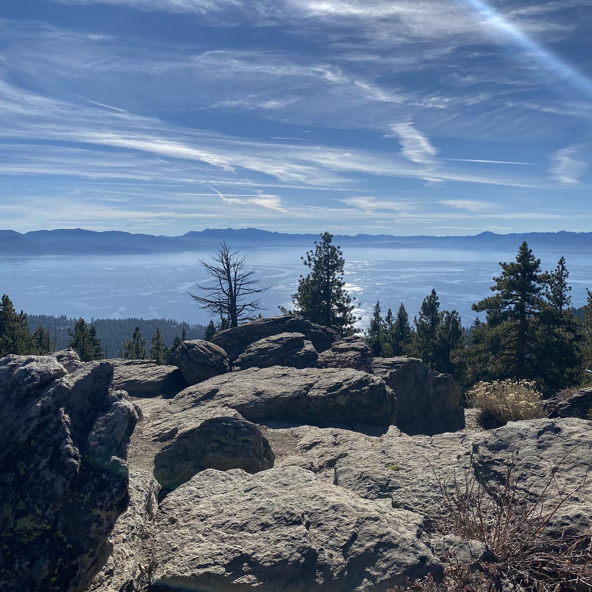
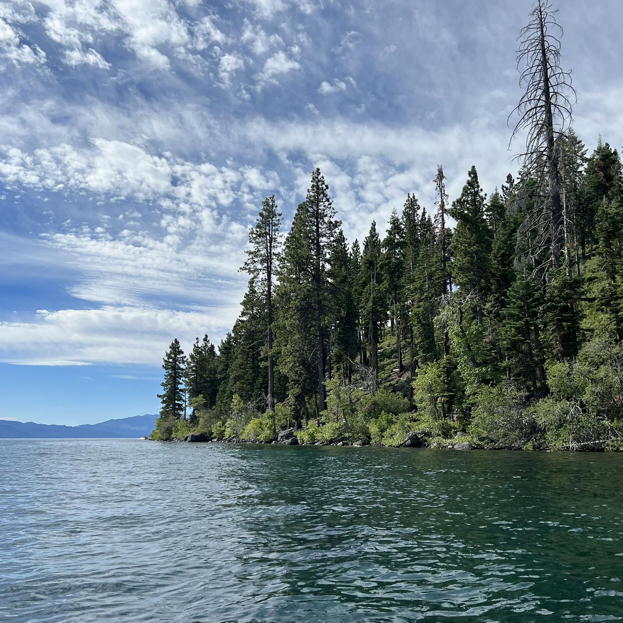
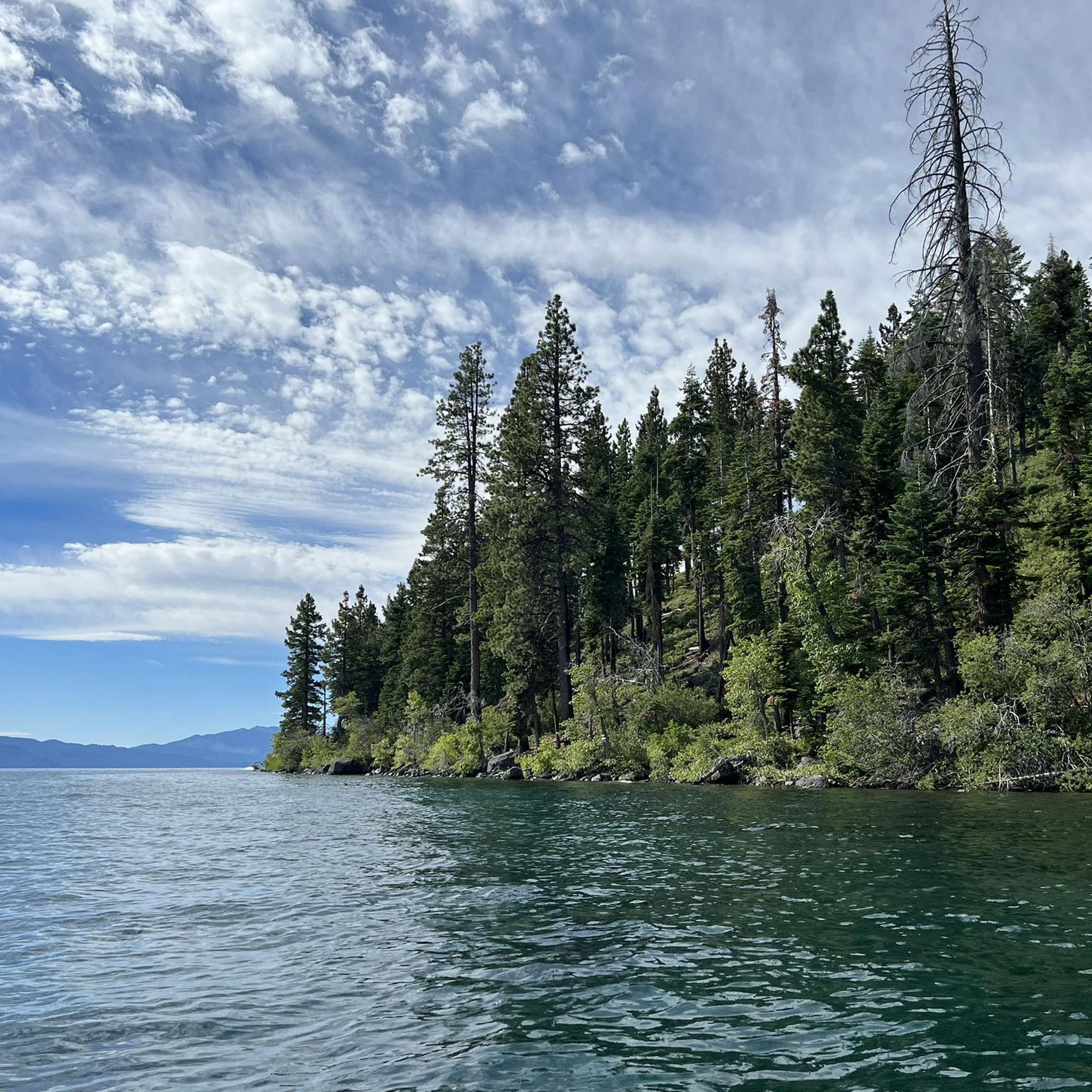
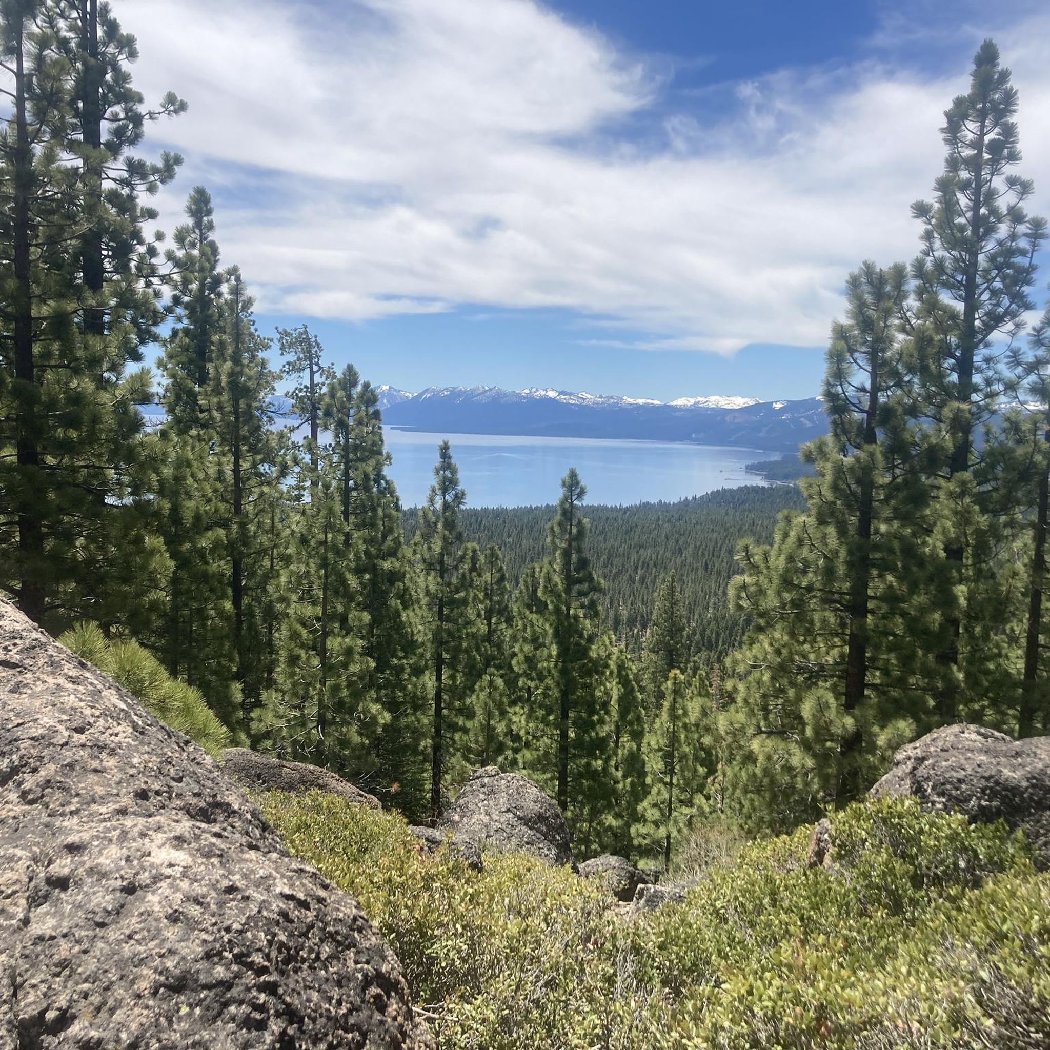

Tips from the Community

Fantastic views. Unfortunately, completely overcrowded.
0
0


The Bayview Campground would offer a good parking lot. However, it is now closed until Spring 2025. Maybe one has to consider parking along the street during day trips.
0
0

Very Nice and Easy trail for all, ride it from Tahoe City all the way to Palisades if you like. beautiful scenery and views along the Truckee River.
0
0

Truckee Downtown has lots of character, bars, restaurants and a bus station. If you want to stay in Truckee, this is also the location to go. The post office is just around the corner. The trolley system will take you to the grocery shopping district for free.
0
0

This state park has nearly two miles of shoreline and over 2,500 acres of forested mountains. The name of this park changed from Sugar Pine Point State Park to Ed Z'berg Sugar Pine Point State Park in 2009 to honor Edwin L. Z'berg, a very environmentally-involved California state assemblyman.
0
0

Lake Tahoe Commons Beach is just a one-minute walk from the main street of Tahoe City. A nice beachfront area and a fantastic swimming spot.
0
0
Pole Creek Road Trailhead is on Tahoe River Road and has a small area for parking. The trailhead is right next to Pole Creek, and the Pole Creek Road Trail brings hikers all the way up to the Pacific Crest Trail eventually.
0
0
Frequently Asked Questions
How many road cycling routes are available around Cedar Flat?
There are over 25 road cycling routes around Cedar Flat, offering a variety of experiences for different skill levels. These include easy, moderate, and difficult options.
What kind of terrain can I expect on road cycling routes around Cedar Flat?
Road cycling in Cedar Flat features diverse terrain. You'll find routes with challenging climbs through the Sierra Nevada foothills, as well as more level paths along the picturesque Lake Tahoe shoreline. The landscape is characterized by dense cedar forests and rolling terrain.
Are there road cycling routes suitable for beginners in Cedar Flat?
Yes, Cedar Flat offers several easy road cycling routes. For instance, the Tahoe City loop from Dollar Point is an easy 20.9-mile paved path that provides beautiful views of Lake Tahoe.
Are there challenging road cycling routes with significant elevation gain?
Absolutely. For experienced riders seeking a challenge, routes like the Lookout Mountain loop offer significant elevation gain over its 40.1 miles, providing scenic vistas. Another difficult option is the North Tahoe Beach – Kings Beach-Crystal Bay loop from Dollar Point, which features over 1150 meters of ascent.
What natural features or landmarks can I see while road cycling in Cedar Flat?
Many routes offer stunning views of Lake Tahoe and the surrounding Sierra Nevada foothills and cedar forests. You might also encounter highlights like the Truckee River Trail, or pass by areas like Tahoe City and Kings Beach-Crystal Bay, which offer scenic stops.
Are there routes that offer panoramic views of Lake Tahoe?
Yes, many road cycling routes in Cedar Flat are designed to showcase the breathtaking beauty of Lake Tahoe. The region's proximity to the lake means you'll frequently enjoy expansive water views. While specific road cycling viewpoints are not always explicitly detailed, the nature of the terrain and lake proximity ensures numerous scenic opportunities.
Are there family-friendly road cycling options in Cedar Flat?
For families or those seeking a more relaxed ride, Cedar Flat benefits from its proximity to paved bike paths. The Tahoe City loop from Dollar Point is an easy, paved route that is suitable for a family outing, offering pleasant lake views.
Are there loop road cycling routes available around Cedar Flat?
Yes, several loop routes are popular for road cycling in Cedar Flat. Examples include the Lookout Mountain loop and the Lake Tahoe Commons Beach – Tahoe City loop from Carnelian Bay, providing circular journeys back to your starting point.
When is the best time of year for road cycling in Cedar Flat?
The warmer months, typically spring through fall, are ideal for road cycling in Cedar Flat. During this time, the weather is generally pleasant, and the routes are clear of snow, allowing for full enjoyment of the lake and mountain views.
What do other road cyclists appreciate most about the routes in Cedar Flat?
The road cycling routes in Cedar Flat are highly rated by the komoot community, with an average score of 4.2 stars from over 8 reviews. Cyclists often praise the stunning lake and mountain views, the varied terrain, and the opportunity to explore the beautiful Sierra Nevada landscape.
What are the parking options for road cyclists in Cedar Flat?
While specific parking areas for each trailhead are not detailed, Cedar Flat is a developed area on Lake Tahoe's northwest shore. You can generally find parking in nearby towns like Tahoe City or Carnelian Bay, which serve as common starting points for many routes.
Are there places to stop for refreshments or food along the road cycling routes?
Yes, Cedar Flat is conveniently located between Carnelian Bay and Tahoe City. Both towns offer various amenities, including restaurants and cafes, where you can stop for refreshments or a meal during or after your ride.
Most popular attractions around Cedar Flat

Get inspired with the komoot mobile app


Explore more
Browse the best Road cycling routes in other regions.
