The best road cycling routes around Bonny Doon
4.6
(52)
3,134
riders
73
rides
Road cycling around Bonny Doon is characterized by challenging terrain within the Santa Cruz Mountains, featuring significant elevation gains. The region offers routes that wind through redwood forests and provide coastal views near Highway 1. Roads often have well-paved surfaces and light traffic, enhancing the riding experience. This area is known for its consistent and challenging climbs.
Best road cycling routes around Bonny Doon
- The most popular road cycling route is Santa Cruz Lighthouse – West Cliff Cycleway loop from…
Last updated: September 1, 2026
5.0
(1)
47
riders
72.1km
03:57
1,460m
1,460m
Hard road ride. Very good fitness required. Some segments of this route may be unpaved and difficult to ride.
11
riders
94.4km
05:18
2,020m
2,020m
Hard road ride. Very good fitness required. Some segments of this route may be unpaved and difficult to ride.

Sign up for free
5.0
(1)
5
riders
39.3km
01:44
290m
290m
Easy road ride. Great for any fitness level. Mostly well-paved surfaces and easy to ride.
9
riders
97.7km
04:47
1,340m
1,340m
Hard road ride. Very good fitness required. Mostly well-paved surfaces and easy to ride.
139
riders
64.5km
02:50
520m
520m
Moderate road ride. Good fitness required. Some segments of this route may be unpaved and difficult to ride.
Get access to more routes and recommendations from other explorers.
Sign up for free
Already have an account?
Our route recommendations are based on thousands of hikes, rides, and runs completed by other people on komoot.
Start today with a free account
Your next adventure awaits.
Login or Signup

Tips from the Community

What's special about this path is that it takes you from Santa Cruz to the Wilder Ranch Park without using Route 1. Once there, you have multiple dirt path choices to ride around up into the park.
0
0

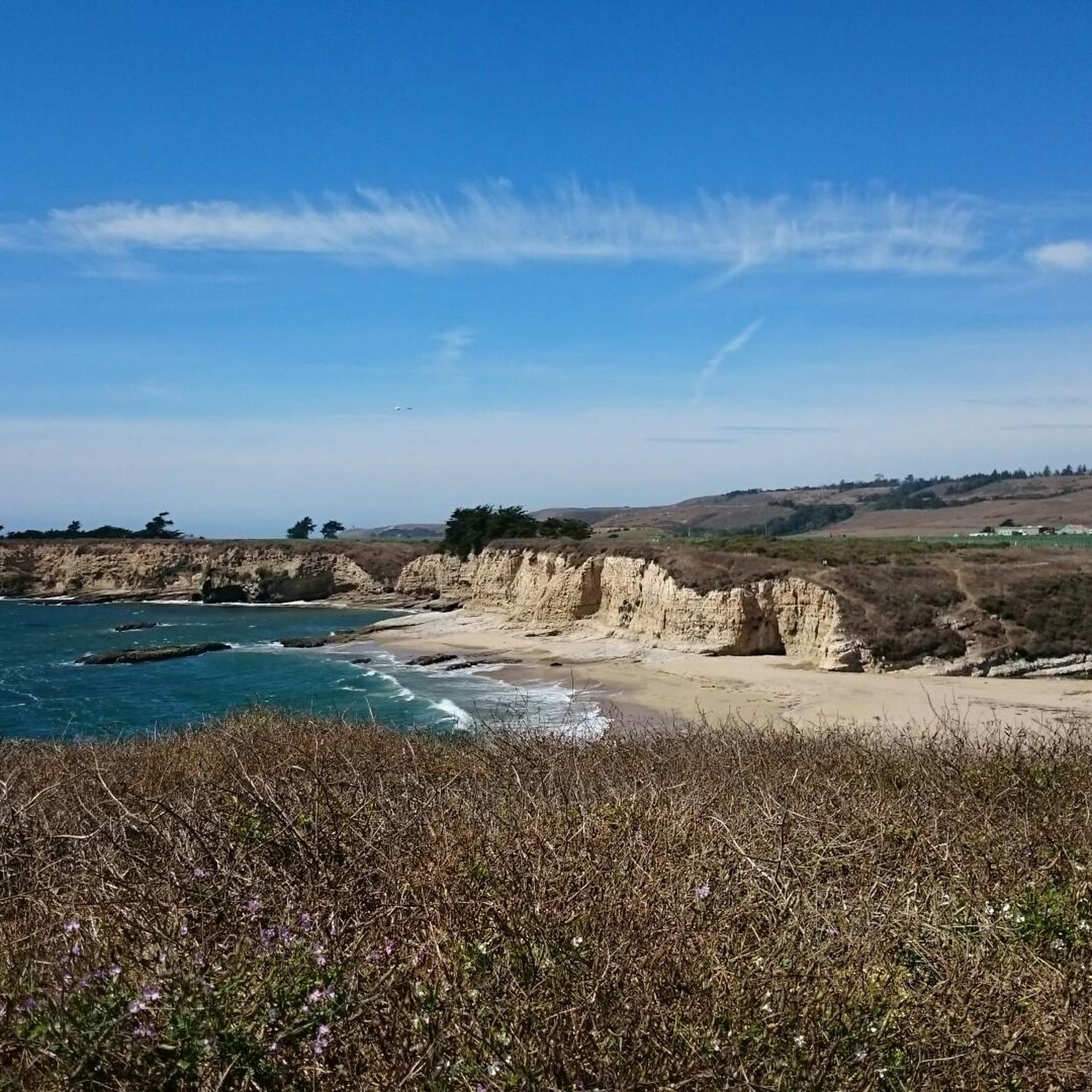
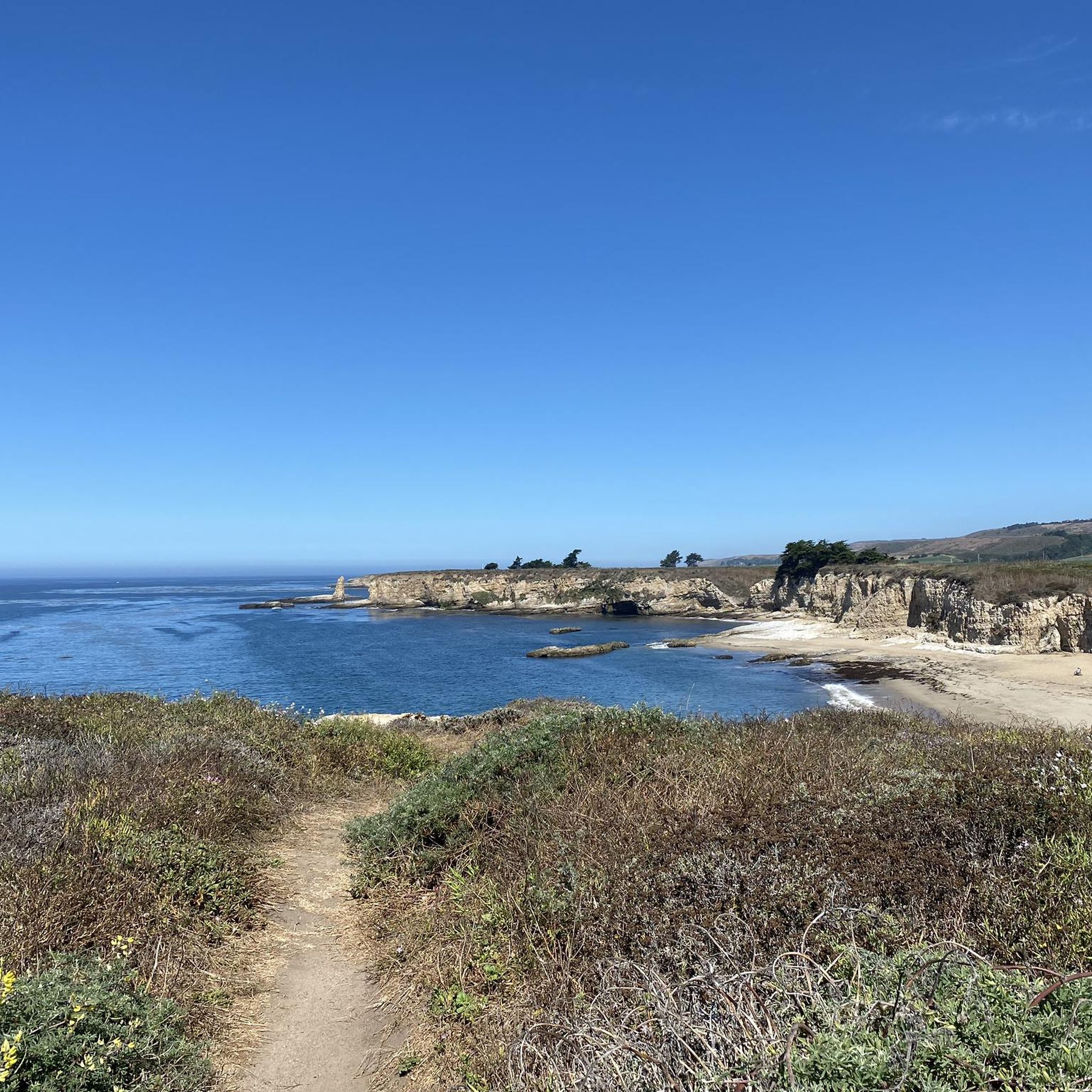
Northern entrance to the coastal park from Delaware Ave. The trailhead is pedestrian and biker only, The former road goes straight to the beach, while smaller trails turn east into the Monarch Butterfly Natural Preserve, and West into the upper portions of the State Beach Park.
1
0

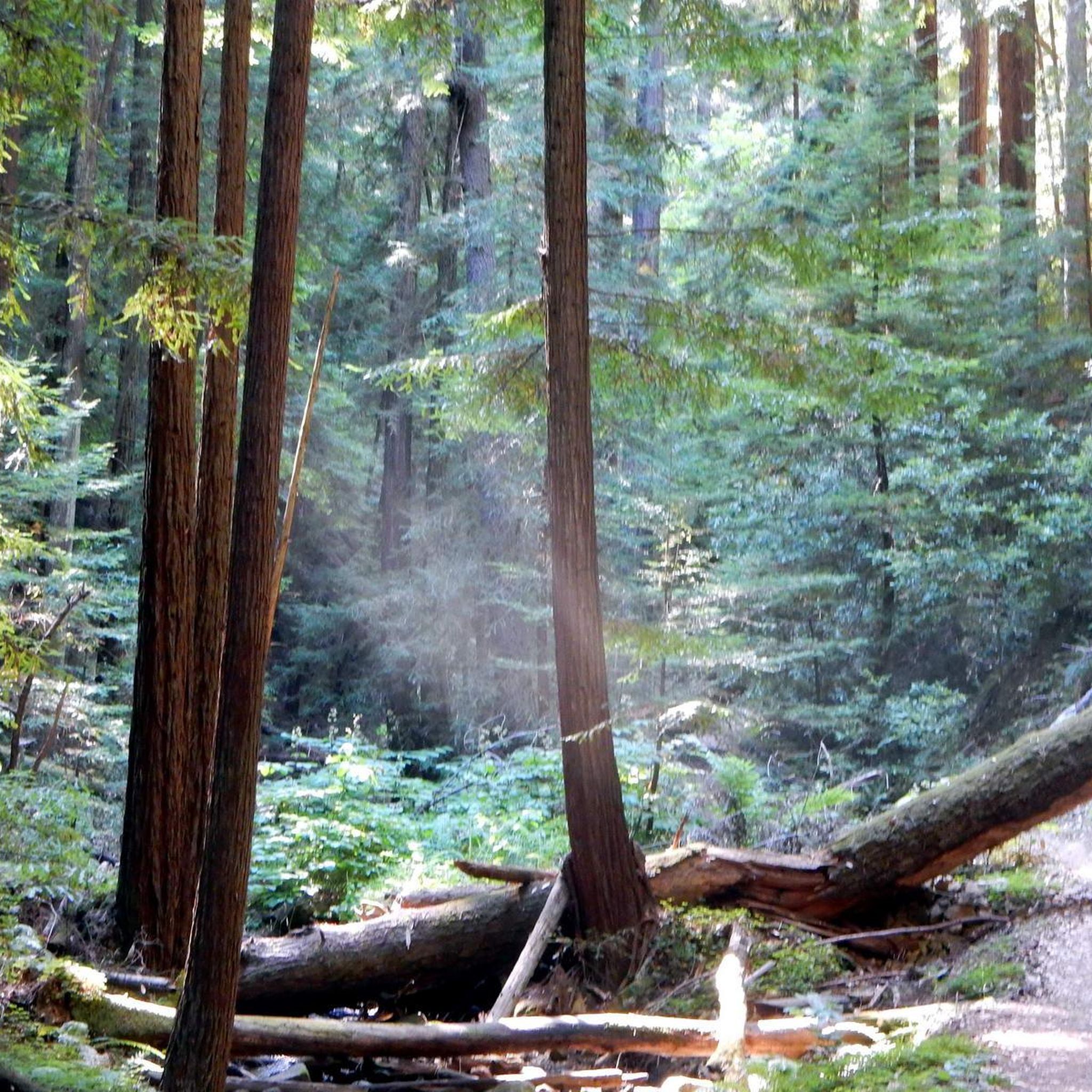
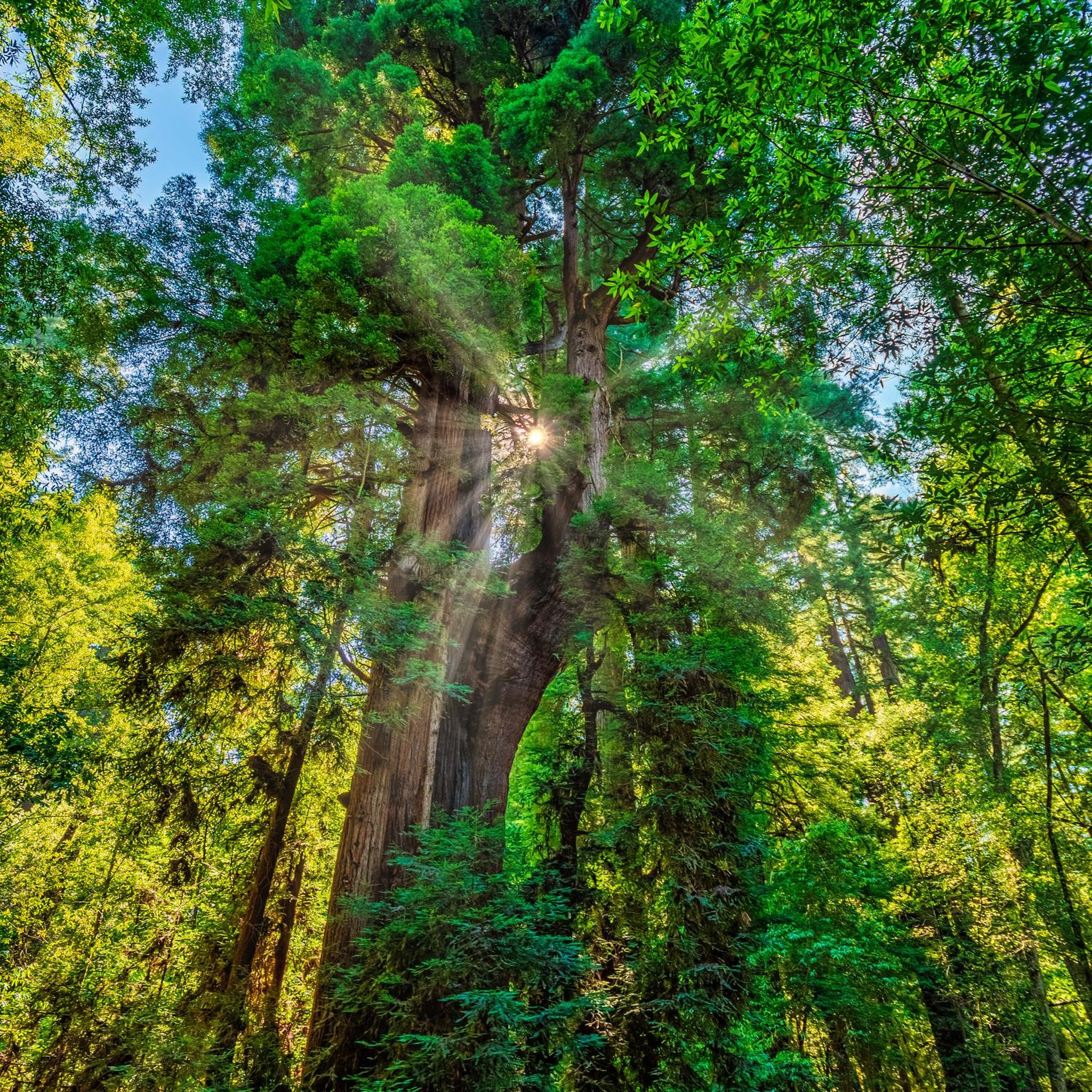
Big Basin Redwoods State Park has reopened for limited day use following the 2020 CZU Lightning Complex Fire. Visitors can explore trails like Redwood Loop and Meteor Trail, where resilient redwoods stand alongside new growth. Parking is $6 per vehicle with a $2 reservation fee or $10 without reservations. Rancho del Oso, the park’s coastal area, requires no reservations or fees. Dogs, horses, and mountain bikes are welcome in designated areas, while drones are prohibited. Road biking is allowed on all roads.
0
0

If you're in Santa Cruz, Regale Vineyards is a must-visit. Nestled in the Santa Cruz Mountains, it offers more than just great wine – the views are incredible. Whether you're enjoying a tasting on the patio or strolling through the vineyards, you’ll be surrounded by lush greenery and towering redwoods. It’s a peaceful spot to relax and soak in the beauty of the area. Plus, the wines are fantastic, showcasing the best of the region.
0
0

The Peak is a 3,005-foot mountain in Santa Clara County. The high point is marked by a large mossy rock, a short distance away from the end of the trail. This is a great, challenging summit for any mountain biker.
1
0

The Santa Cruz Riverwalk runs along the San Lorenzo River levee from the Highway 1 Bridge to the Santa Cruz Beach Boardwalk, providing easy access to downtown Santa Cruz.
0
0

In the summer of 1885, three young Hawaiian princes ignited the California coast's surfing phenomenon by introducing their boards and the ancient Hawaiian sport to the American mainland. A commemorative plaque near the former lighthouse, now home to a quaint surfing museum, immortalizes this significant moment in history.
0
0
The surfer statue along West Cliff Drive is a landmark of Santa Cruz. The statue stands at 18 feet tall and was inspired by members of the 1936 Santa Cruz Surfing Club.
0
0
Frequently Asked Questions
How challenging are the road cycling routes in Bonny Doon?
Bonny Doon is renowned for its challenging terrain within the Santa Cruz Mountains, featuring significant elevation gains. While there are 18 easy routes, the majority of the 68 routes are moderate (27) or difficult (23), catering to cyclists seeking strenuous climbs. The area is famous for its consistent and challenging pitches, with some sections reaching 9.4% to 12.4% grades.
Are there routes for experienced road cyclists seeking challenging climbs?
Absolutely. Bonny Doon is a prime destination for experienced road cyclists, having been featured in the Tour of California. Routes like the Branciforte Drive – Bear Creek Road loop from Felton Roaring Camp offer over 2,000 meters of elevation gain over 94 km. The Bonny Doon Road/Empire Grade climb is particularly known for its demanding and consistent gradient.
Are there easy road cycling routes suitable for beginners in Bonny Doon?
Yes, while Bonny Doon is known for its climbs, there are easier options available. The Santa Cruz Lighthouse – West Cliff Cycleway loop from Mount Hermon is an easy 35.3 km route that features coastal views and a relatively flat profile, making it suitable for those looking for a less strenuous ride.
What natural features or landmarks can I see while road cycling in Bonny Doon?
Road cycling routes in Bonny Doon often wind through lush redwood forests and offer occasional coastal vistas, especially near Highway 1. You can also find unique ecosystems within the region, such as the Santa Cruz Sandhills. Notable landmarks include the Santa Cruz Lighthouse, and natural monuments like Natural Bridges State Beach and Needle Rock.
What is the best time of year to go road cycling in Bonny Doon?
Bonny Doon offers excellent cycling conditions for much of the year. The region's climate is generally mild, but for optimal riding, spring and fall often provide the most pleasant temperatures and clear skies. Summer can be warm, especially on climbs, while winter might bring rain, though many days remain suitable for cycling.
Is parking available for road cyclists in Bonny Doon?
Parking availability varies depending on your chosen starting point. Many routes begin from areas with designated parking, such as near Felton Roaring Camp or Mount Hermon. Roads in Bonny Doon often have narrow shoulders suitable for cycling and light traffic, but specific parking facilities should be checked for your chosen route.
Can I access Bonny Doon's road cycling routes by public transport?
While Bonny Doon is primarily accessed by car, some routes may be reachable via public transport connections to nearby towns like Santa Cruz or Felton. However, direct public transport access to specific trailheads within Bonny Doon itself can be limited, making personal vehicle transport often more convenient for cyclists.
Are there cafes or places to refuel near Bonny Doon road bike routes?
While Bonny Doon itself is a more rural area, you can find cafes and amenities in nearby towns such as Felton or Santa Cruz, which often serve as starting or ending points for many routes. It's advisable to plan your stops and carry sufficient water and snacks, especially on longer rides through the more remote sections.
What do other road cyclists enjoy the most about road cycling in Bonny Doon?
The area is highly rated by the komoot community, with an average score of 4.4 stars from over 40 reviews. Reviewers often praise the challenging climbs, the serene beauty of the redwood forests, and the well-paved surfaces with light traffic. The diverse routes, from coastal views to mountain ascents, are also frequently highlighted.
Are there any loop routes for road cycling in Bonny Doon?
Yes, many of Bonny Doon's road cycling routes are designed as loops, allowing you to start and finish at the same point. Examples include the Mountain Charlie Rd loop from Redwood Camp and the Branciforte Drive – Bear Creek Road loop from Felton Roaring Camp, offering diverse distances and elevation profiles.
Are there any unique natural reserves to explore near the cycling routes?
Yes, the Bonny Doon Ecological Reserve is a significant natural attraction in the area. This 552-acre preserve protects the unique Santa Cruz Sandhills habitat, home to rare and endemic species like the Bonny Doon manzanita. While cycling routes may pass nearby, you can learn more about this unique ecosystem at wildlife.ca.gov.
Most popular attractions around Bonny Doon

Get inspired with the komoot mobile app


Explore more
Browse the best Road cycling routes in other regions.
