The best road cycling routes around Bonita
4.7
(264)
2,061
riders
77
rides
If you've ever tried to plan road cycling around Bonita, you know how quickly the options can become overwhelming. With so many routes out there, it's tough to tell which ones are genuinely worth your time and effort, and which are just filler. We get it, and we're here to cut through the noise.
At komoot, our community has mapped, ridden, and reviewed countless routes, so we've done the legwork for you. This guide is your curated shortlist of the best road cycling routes in Bonita, saving you the guesswork and ensuring every pedal stroke counts. You'll find everything from scenic, mostly flat paths to challenging climbs through rolling hills, all highly rated by over 1,900 road cyclists.
Bonita, California, is defined by its picturesque rolling hills and diverse terrain, offering a fantastic mix for road cyclists. You can explore routes near the Sweetwater Reservoir, connect to the scenic Bayshore Bikeway with views of San Diego Bay, or tackle significant elevation gains inland. If you only do one ride, make it the Bayshore Bikeway and Mount Soledad Loop. This moderate 44.9 miles (72.2 km) route offers incredible bay views and a rewarding climb. For a serious challenge, the Otay Reservoir Dam – Lyons Valley Trading Post loop, at 57.7 miles (92.9 km) with significant elevation, is a local favorite for good reason. Start exploring with komoot and discover your next favorite ride.
Last updated: May 31, 2026
5.0
(2)
44
riders
72.2km
03:17
420m
420m
This combined route offers a striking contrast, blending the relaxed atmosphere and continuous water views of the Bayshore Bikeway with the rigorous physical test and rewarding panoramic vistas of the Mount Soledad climb. You'll cruise past the historic Hotel del Coronado and Silver Strand State Beach before tackling the challenging ascent to the Mount Soledad National Veterans Memorial, where 360-degree views await. This 44.9 miles (72.2 km) road cycling loop, with 1364 feet (416 metres) of elevation gain, is rated moderate and typically takes around 3 hours and 16 minutes.
To make the most of your ride, plan to start early, especially if you want to avoid heavy traffic on the Mount Soledad portion. The Bayshore Bikeway offers little to no shade, particularly along the Silver Strand, so bring plenty of water and sun protection. The route is predominantly paved, but some on-road bike lanes on the eastern side of the bay can be a bit bumpy.
This route is notable for its diverse cycling experience, seamlessly blending flat, scenic bay-side riding with a significant climb. It connects various communities including Coronado, Imperial Beach, and La Jolla, and is a segment of the California Coastal Trail. The Mount Soledad portion is often cited for offering some of the best viewpoints in the San Diego area.
52
riders
87.3km
04:36
1,550m
1,550m
Hard road ride. Very good fitness required. Some segments of this route may be unpaved and difficult to ride.

Sign up for free
4.8
(127)
43
riders
26.5km
01:09
50m
50m
This urban road cycling loop offers a fantastic blend of San Diego's waterfront beauty and historic cityscapes. You'll glide past the modern outdoor venue of The Rady Shell at Jacobs Park, enjoying continuous views of San Diego Bay and the Coronado Bridge, before immersing yourself in the lively, Victorian-era architecture of the Gaslamp Quarter. It's an easy 16.5-mile (26.5 km) ride with only 161 feet (49 metres) of elevation gain, typically taking about 1 hours and 9 minutes, making it a perfect choice for a relaxed outing.
Planning your ride is straightforward, as the downtown area boasts excellent bike infrastructure, including protected cycle tracks. While specific trailhead parking isn't called out, numerous parking garages are available in the Gaslamp Quarter, and public transport offers easy access. If you don't have your own wheels, bike rental near Rady Shell San Diego is a convenient option to get started on this scenic route.
What makes this one of the best urban road cycling routes in San Diego is its diverse scenery and accessibility. It connects iconic landmarks like the USS Midway and Seaport Village with the bustling atmosphere of the Gaslamp Quarter, offering a rich cultural and visual experience. The route also provides excellent connectivity to other popular cycling destinations, allowing for longer adventures if you choose.
41
riders
51.0km
02:29
250m
250m
Moderate road ride. Good fitness required. Mostly well-paved surfaces and easy to ride.
35
riders
58.5km
02:51
740m
740m
The Otay Reservoir Dam – Lower Otay Reservoir loop from La Presa offers a dynamic road cycling experience, blending physical challenge with expansive views. As you pedal, you'll encounter the impressive Otay Reservoir Dam, a concrete arch-gravity structure, and enjoy serene stretches alongside the Lower Otay Reservoir. From higher points, panoramic vistas of San Diego County, Tijuana, and the Pacific Ocean unfold, with the rugged silhouette of Otay Mountain often in the distance.
This moderate 36.4-mile (58.5 km) route includes 2413 feet (736 metres) of elevation gain, typically taking around 2 hours and 50 minutes to complete. While specific parking from La Presa isn't detailed, the area is generally accessible by car. Given the potential for warm weather, especially in San Diego County, an early morning start is advisable, and always bring ample water for the duration of your ride.
The Lower Otay Reservoir is not just a scenic backdrop; it's a significant natural open space, home to diverse wildlife, including various waterfowl. The area also holds historical significance, with the original dam dating back to 1897, later rebuilt and renamed Savage Dam. You might even spot the Chula Vista Elite Athlete Training Center along the reservoir's edge, where Olympic athletes train.
Get access to more routes and recommendations from other explorers.
Sign up for free
Already have an account?
Our route recommendations are based on thousands of hikes, rides, and runs completed by other people on komoot.
Start today with a free account
Your next adventure awaits.
Login or Signup
Tips from the Community

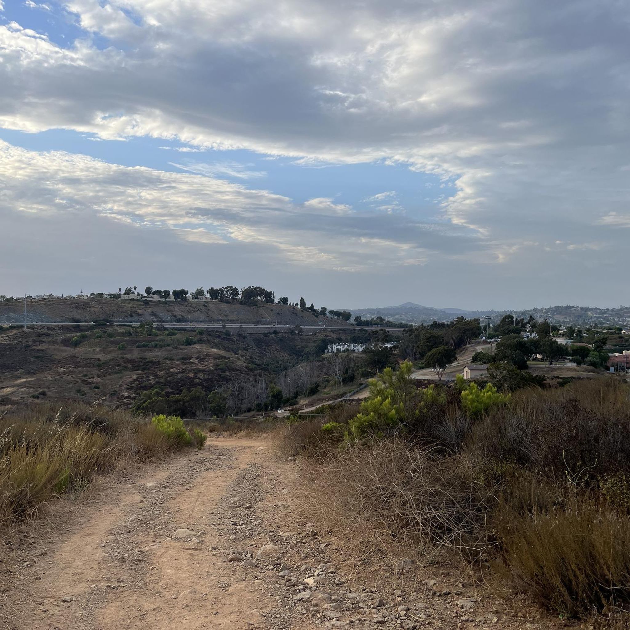
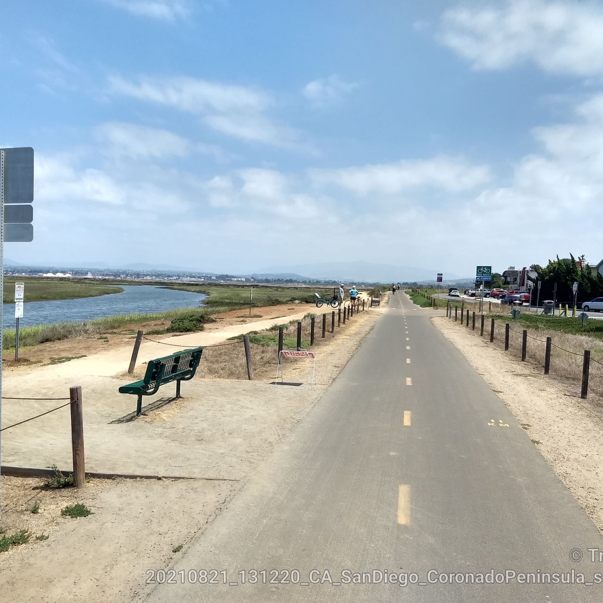
Nice bike trail. Just watch out for the homeless camp
0
0


Bring sunblock, bottle of water, and comfy shoes if you’re walking during the day.
0
0

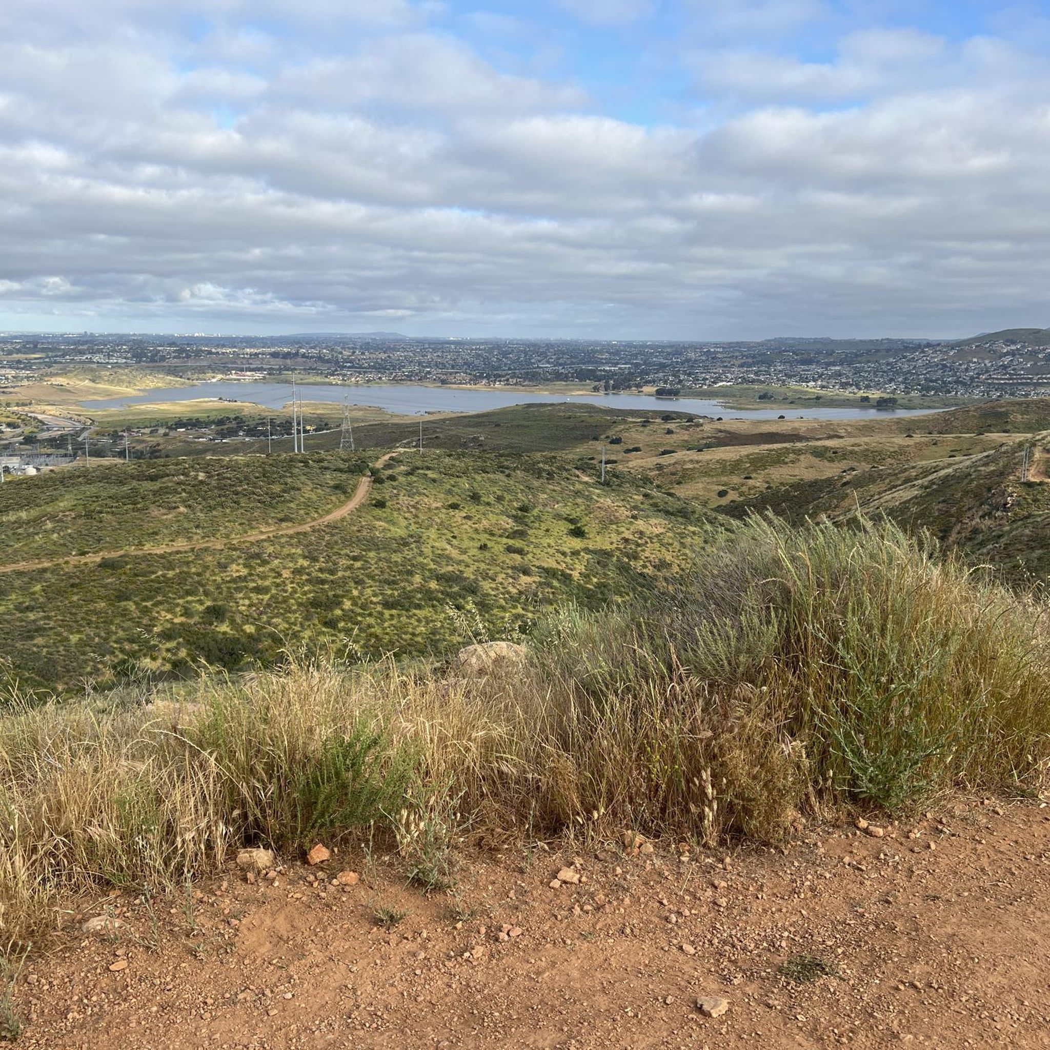
Beautiful view over La Jolla!
1
0

The view from the pier, whether from the old sailing ship or the aircraft carrier, is a dream. You can also get straight into the historic old town from this side.
1
0

The pier was initially constructed in the late 1920s, accompanied by an amusement park and ballroom in the vicinity. Today, visitors can still observe the updated 1930s-era cottages and enjoy a panoramic view of the ocean.
1
0

The Sweetwater River starts high in the Cuyamaca Mountains. The name "Sweetwater" originates from the olden days when people would generally refer to a fresh water river as a sweet water river due to the taste of the water. Along side the river is the Sweetwater Bikeway which is a shared bike path. It can get fairly busy at times, especially on the weekends, so be mindful of other path users.
0
0
Frequently Asked Questions
How many road cycling routes are available around Bonita?
Bonita offers a wide selection of road cycling routes, with nearly 80 distinct options available. These routes cater to various skill levels, from easy rides to challenging climbs, ensuring there's something for every cyclist.
What kind of terrain can I expect on road cycling routes in Bonita?
The terrain around Bonita is quite diverse, featuring picturesque rolling hills and vibrant greenery. You'll find routes ranging from mostly flat paths, such as sections of the Sweetwater River Trail, to challenging climbs with significant elevation gains, some exceeding 1,500 meters. This variety allows for both leisurely rides and rigorous training.
Are there any easy road cycling routes suitable for beginners in Bonita?
Yes, Bonita has several easy road cycling routes perfect for beginners or those looking for a relaxed ride. One such option is the Gaslamp Quarter – The Rady Shell at Jacob Park loop from H Street, which is about 26.6 km long with minimal elevation gain, often completed in just over an hour.
Where can I find challenging road cycling routes with significant climbs?
For experienced cyclists seeking a challenge, Bonita offers routes with substantial elevation gains. A notable difficult route is the Otay Reservoir Dam – Lyons Valley Trading Post loop from Telegraph Cyn Park And Ride. This 92.9 km path features over 1,500 meters of climbing through the region's rolling hills.
What scenic attractions or landmarks can I see along the road cycling routes?
Many routes in Bonita offer stunning views and pass by notable natural features. You can enjoy vistas of the Sweetwater Reservoir, explore the Sweetwater River Trail, or access the renowned Bayshore Bikeway for breathtaking views of San Diego Bay and Coronado. Highlights include the Sweetwater Reservoir and the View of San Diego Bay.
Are there any family-friendly road cycling options in Bonita?
While specific 'family-friendly' routes are not explicitly categorized, the region's diverse offerings include many easy, mostly flat sections that are suitable for families. The Sweetwater River Trail, for instance, provides a safe and accessible option with 15 miles of trails winding through scenic areas, which can be a great choice for a family outing.
What do other cyclists say about road cycling in Bonita?
The road cycling routes around Bonita are highly regarded by the komoot community, boasting an impressive average rating of 4.7 stars from over 380 reviews. Cyclists often praise the diverse terrain, the scenic views of the Sweetwater Reservoir and San Diego Bay, and the variety of routes catering to all ability levels.
Are there any loop trails for road cycling in Bonita?
Yes, many road cycling routes in Bonita are designed as loops, offering a convenient way to start and end your ride at the same point. Examples include the Bayshore Bikeway and Mount Soledad Loop and the Sweetwater River loop from La Presa, which provide varied distances and elevations.
What is the best time of year to go road cycling in Bonita?
Bonita's pleasant climate makes it an excellent destination for road cycling year-round. The region generally experiences mild temperatures, allowing cyclists to enjoy the trails and scenic routes throughout the seasons. However, checking local weather forecasts is always recommended for optimal riding conditions.
Can I connect to the Bayshore Bikeway from Bonita?
Absolutely. Bonita's location provides convenient access to the renowned Bayshore Bikeway. The Sweetwater River Trail, for example, connects to this broader bikeway, allowing you to extend your ride and enjoy spectacular views of downtown San Diego and Coronado as you nearly encircle San Diego Bay.
Are there any routes that pass by the Sweetwater Reservoir?
Yes, the Sweetwater Reservoir is a prominent natural feature that provides scenic backdrops for several cycling routes. The Sweetwater Park Trail – Otay Reservoir Dam loop from Lomita is one such route that offers views of the reservoir and its surroundings.
Where can I find more information about Bonita, California?
For additional information about Bonita, including local attractions and community details, you can visit the official tourism website at visitbonitaca.com.
Most popular attractions around Bonita

Get inspired with the komoot mobile app


Explore more
Browse the best Road cycling routes in other regions.
