The best cycling routes around Bolinas
4.7
(29)
698
riders
25
rides
Touring cycling around Bolinas offers diverse landscapes, from rugged coastlines to tidal estuaries and forested hills. The region is characterized by its unique ecosystems where freshwater meets the Pacific Ocean, supporting varied flora and fauna. Cyclists can explore extensive trail networks that include paved paths, dirt double tracks, and fire roads. These routes traverse coastal areas, redwood groves, and chaparral-covered hills, providing a range of elevations and surfaces.
Best touring cycling routes around Bolinas
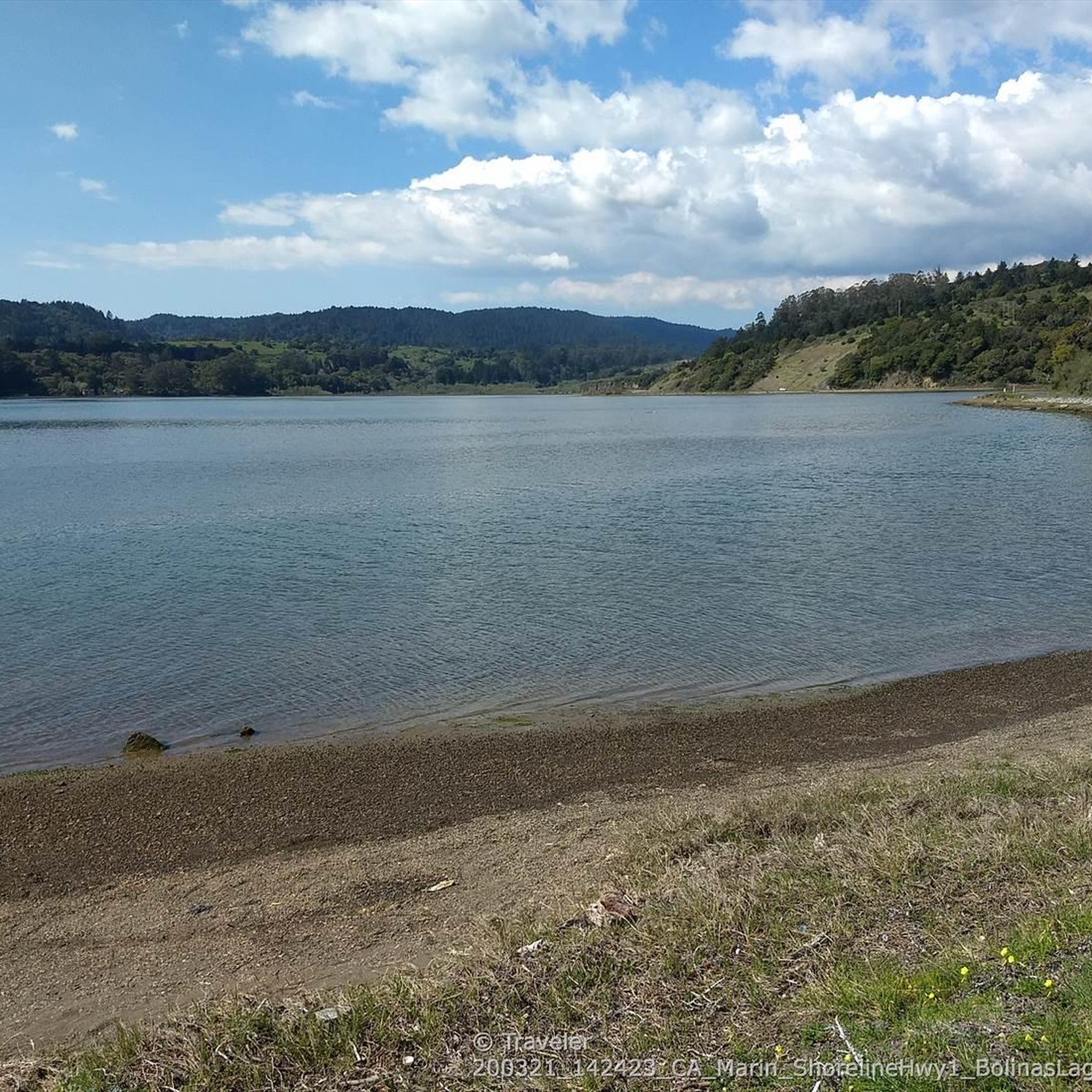
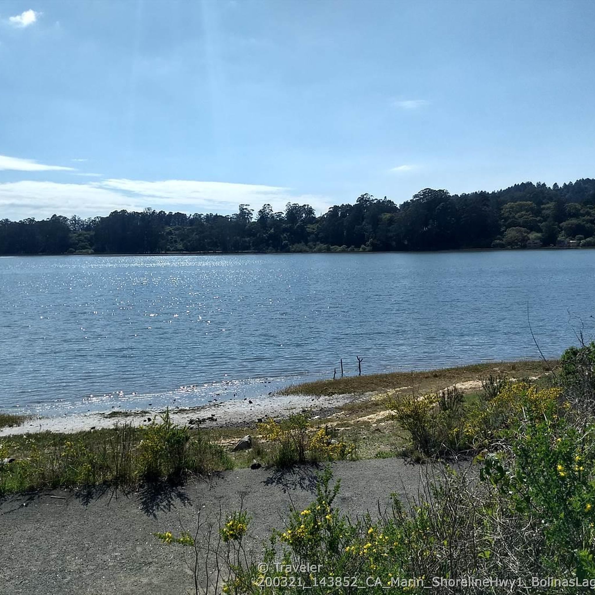
- The most popular touring cycling route is Bolinas Lagoon via Marin Coastal Bike Route, a 7.6 miles (12.3 km) trail that takes about 43 minutes to complete. This easy, paved path features minimal elevation gain, making it suitable for a relaxed ride.
- Another top favourite among local touring cyclists is Marin Coastal Bike Route, a moderate 5.5 miles (8.8 km) path. This route offers scenic ocean views and varied terrain along the coast.
- Local touring cyclists also love the Golden Gate Bridge – View of the Golden Gate Bridge loop from Mount Tamalpais State Park, a 45.1 miles (72.5 km) trail leading through Mount Tamalpais State Park, often completed in about 5 hours 7 minutes.
- Touring cycling around Bolinas is defined by rugged coastlines, tidal estuaries, and redwood forests. The network offers options for different ability levels, from easy paved paths to challenging routes with significant elevation gain.
- The routes in Bolinas are highly rated by the komoot community with an average score of 4.9 stars from over 15 reviews. More than 500 touring cyclists have used komoot to explore Bolinas's varied terrain.
Last updated: October 7, 2026
12.3km
00:43
60m
60m
Easy bike ride. Great for any fitness level. Mostly paved surfaces. Suitable for all skill levels.
8.84km
00:46
300m
300m
Moderate bike ride. Good fitness required. Mostly paved surfaces. Suitable for all skill levels.

4.5
(11)
254
riders
73.2km
05:07
1,280m
1,280m
Hard bike ride. Very good fitness required. Mostly paved surfaces. Suitable for all skill levels.
3.5
(6)
77
riders
93.9km
06:37
1,440m
1,440m
Hard bike ride. Very good fitness required. Mostly paved surfaces. Suitable for all skill levels.
28
riders
39.6km
02:59
960m
960m
Hard bike ride. Very good fitness required. Mostly paved surfaces. Suitable for all skill levels.
Get access to more routes and recommendations from other explorers.
Already have an account?
Our route recommendations are based on thousands of hikes, rides, and runs completed by other people on komoot.
Start today with a free account
Your next adventure awaits.
Tips from the Community


Arrival of the magnificent Golden Gate crossing
0
0

Mount Tam East Peak offers some of the most majestic views north of the bay. From this vantage point, you can see all of Marin, along with Point Reyes to the north and Oakland and San Francisco to the south. The stunning panoramic vistas make the journey well worth the effort. There are restrooms and picnic tables, ideal for a snack or lunch while you capture some incredible photos.
0
0

Often busy on weekends, this is a great spot to take moment before/after summiting Mt Tam. There are spigots to fill up water and bathrooms that are open during park hours. The parking lot is very close for those that drive up. There is access to MANY trails for those on foot/bike.
0
0

This overlook designed by Mr. Bowers is one of many highway improvements that are the result of his leadership, innovation and lifelong dedication to attractive highway design, landscaping, erosion control and roadside improvements. The view of the Golden Gate Bridge from here is simply magnificent.
3
0
This overlook designed by Mr. Bowers is one of many highway improvements that are the result of his leadership, innovation and lifelong dedication to attractive highway design, landscaping, erosion control and roadside improvements.
2
0
. H. Dana Bowers (1903-1977) Chief Landscape Architect for the California Division of Highways. Created and promoted the California Highway Beautification Program from 1936 to 1964. This overlook designed by Mr. Bowers is one of many highway improvements that are the result of his leadership, innovation and lifelong dedication to attractive highway design, landscaping, erosion control and roadside improvements. His work is quietly reflected in the beauty of many California highways.
2
0

Really nice spot to view the Golden Gate Bridge!
2
0
Frequently Asked Questions
How many touring cycling routes are available around Bolinas?
There are 19 touring cycling routes available around Bolinas, offering a variety of experiences from easy, paved paths to challenging routes with significant elevation gain.
What are the easiest touring cycling routes for beginners or families?
For a relaxed ride with minimal elevation, the Bolinas Lagoon via Marin Coastal Bike Route is an excellent choice. This 7.6-mile (12.3 km) paved trail is perfect for beginners and families. Another moderate option with scenic ocean views is the Marin Coastal Bike Route, which spans 5.5 miles (8.8 km).
Are there challenging touring cycling routes for experienced cyclists?
Yes, Bolinas offers several challenging routes. The Point Reyes Station loop via Marin Coastal Bike Route is a difficult 45-mile (72.4 km) ride with over 2,600 feet (800 m) of elevation gain. Another demanding option is the Golden Gate Bridge – View of the Golden Gate Bridge loop from Mount Tamalpais State Park, a 45.1-mile (72.5 km) route that typically takes about five hours to complete.
What kind of terrain can I expect on touring cycling routes in Bolinas?
Bolinas offers diverse terrain, from rugged coastlines and tranquil tidal estuaries to dense redwood forests and open, grassy hillsides. Routes include paved paths, dirt double tracks, and fire roads, providing a range of surfaces and elevations. You can expect to cycle through coastal areas, redwood groves, and chaparral-covered hills.
Are there any waterfalls or unique natural features to see along the routes?
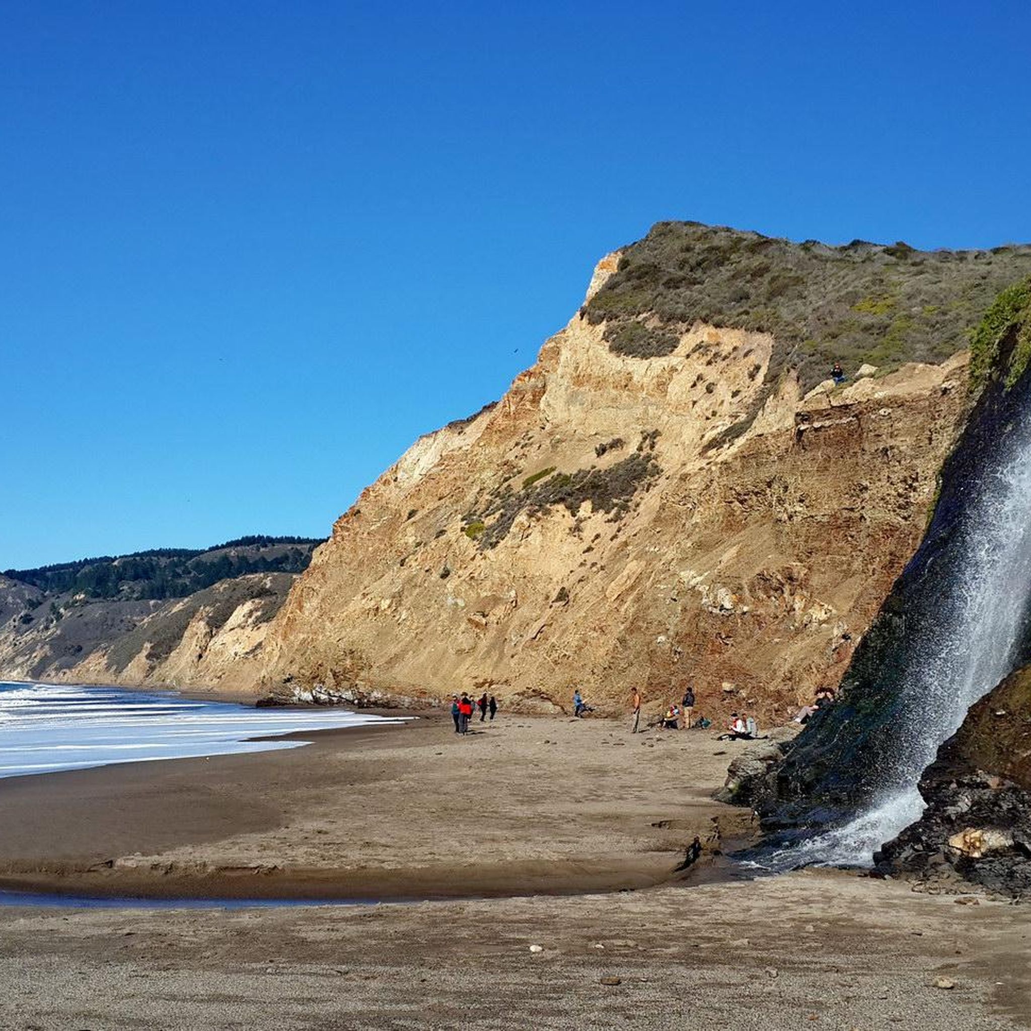
Yes, the region is rich in natural beauty. You can find the spectacular Alamere Falls, a rare ocean bluff waterfall. Other notable features include the ecologically significant Bolinas Lagoon, which is excellent for birdwatching, and majestic redwood forests like the Cathedral Grove of Giant Redwoods.
What is the best time of year to go touring cycling in Bolinas?
The diverse landscapes of Bolinas make it enjoyable year-round. However, spring and fall often offer the most pleasant weather for cycling, with mild temperatures and less chance of extreme heat or heavy rain. Coastal areas can be foggy, especially in summer mornings, but often clear up to reveal stunning views.
Can I find loop routes for touring cycling in Bolinas?
Yes, there are several loop routes available. For instance, the challenging Point Reyes Station loop via Marin Coastal Bike Route and the Golden Gate Bridge – View of the Golden Gate Bridge loop from Mount Tamalpais State Park are popular loop options that allow you to start and end in the same location.
What do other touring cyclists enjoy most about cycling in Bolinas?
The area is highly rated by the komoot community, with an average score of 4.9 stars from over 15 reviews. Reviewers often praise the diverse landscapes, from stunning coastal views and tranquil estuaries to majestic redwood forests. The variety of routes catering to all skill levels and the well-maintained trails are also frequently highlighted.
Are there any specific trails suitable for gravel bikes or mountain bikes?
While this guide focuses on touring cycling, the region does offer trails better suited for gravel or mountain bikes. The Bolinas Ridge Trail, for example, is recommended for mountain or gravel bikes due to its varying elevations, open grasslands, redwood forests, and some bumpy sections. It connects to other bike-friendly trails like the Jewell Trail and Randall Trail for customizable loop rides.
Where can I find scenic viewpoints along the touring cycling routes?
Many routes offer breathtaking views. You'll find stunning panoramic vistas of the Pacific Ocean, Stinson Beach, and Bolinas Bay, particularly along sections like the 'Seven Sisters' on Ridgecrest Boulevard. The Golden Gate Bridge – View of the Golden Gate Bridge loop from Mount Tamalpais State Park also provides expansive views, including the iconic Golden Gate Bridge.
What kind of wildlife might I spot while cycling in Bolinas?
The diverse ecosystems of Bolinas support a rich variety of flora and fauna. Along Bolinas Lagoon, you can often spot numerous bird species and harbor seals. In the forested and hillside areas, you might encounter deer, various small mammals, and a wide array of birdlife. Keep an eye out for marine life along the coastal sections.
Most popular routes around Bolinas
Most popular attractions around Bolinas

Get inspired with the komoot mobile app


Explore more
Browse the best Cycling routes in other regions.
