The best MTB trails around Blackhawk
4.4
(41)
254
riders
36
rides
Mountain biking around Blackhawk, Colorado, offers access to diverse trail systems set within the Rocky Mountains. The region features rugged mountain terrain, dense forests, and high-altitude vistas, with many routes incorporating historical mining sites. Trails often weave through gold rush hills and provide panoramic views of Gilpin County and the Continental Divide. Golden Gate Canyon State Park, located nearby, further expands the network of mountain bike trails.
Best mountain bike trails around Blackhawk
- The most popular mountain bike trail is…
Last updated: August 17, 2026
5.0
(1)
21
riders
31.0km
03:04
1,020m
1,020m
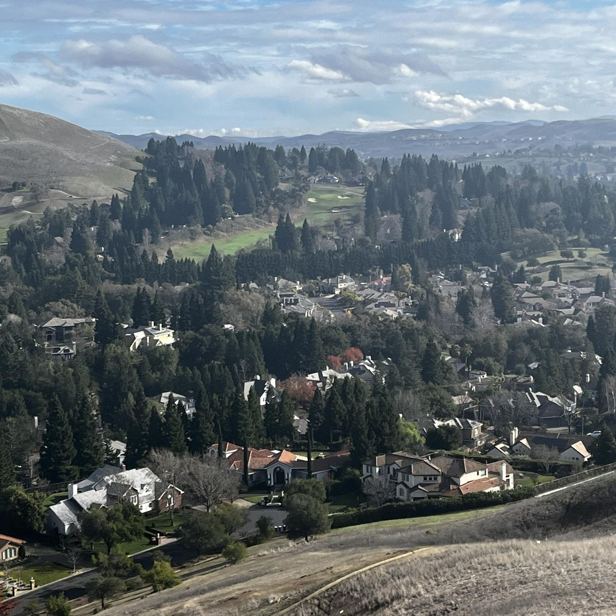
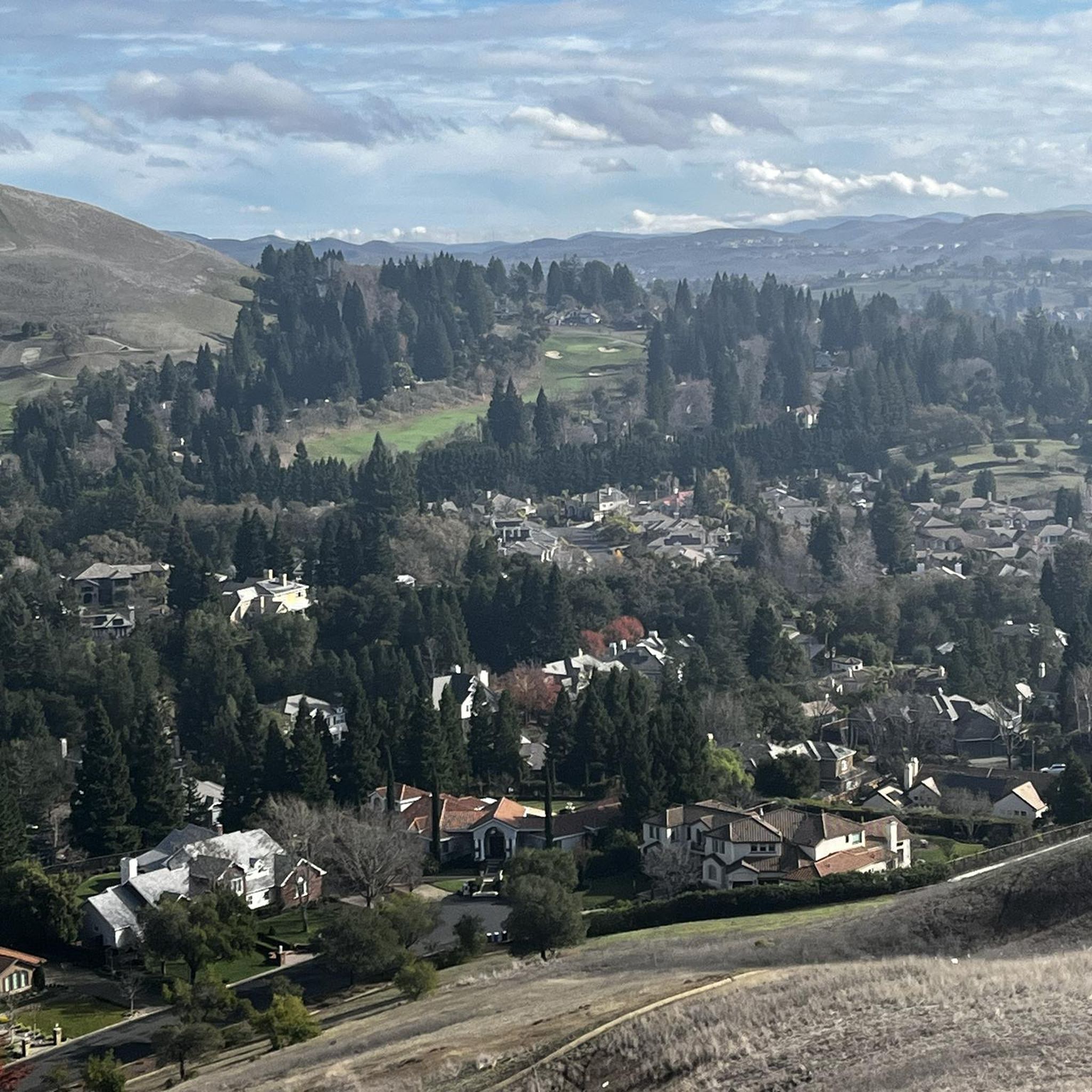
This difficult 19.2-mile mountain bike ride to Mount Diablo Summit offers significant elevation gain and panoramic views.
5.0
(2)
13
riders
37.8km
03:53
1,080m
1,080m
This difficult 23.5-mile mountain biking loop in Mount Diablo State Park offers challenging singletrack and expansive views.

Sign up for free
4
riders
11.9km
01:11
300m
300m
This easy 7.4-mile mountain biking loop in Morgan Territory Regional Preserve offers diverse terrain and stunning views of Mount Diablo.
5.0
(1)
8
riders
42.2km
04:06
1,260m
1,260m
Hard mountain bike ride. Very good fitness required. Advanced riding skills necessary.
10
riders
11.4km
01:15
390m
390m
Moderate mountain bike ride. Good fitness required. Suitable for all skill levels.
Get access to more routes and recommendations from other explorers.
Sign up for free
Already have an account?
Our route recommendations are based on thousands of hikes, rides, and runs completed by other people on komoot.
Start today with a free account
Your next adventure awaits.
Login or Signup
Tips from the Community

If you are going from the west, which I think is the way to go, the first half is annoying - too steep up and down (red parts on Komoot elevation profile). But starting from around Oyster Point it gets excelent - fast, flowy downhill with berms.
1
0

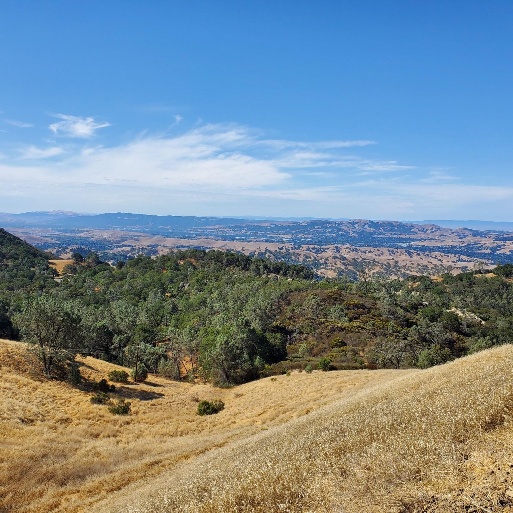
Mount Diablo, is the Bay Area second-highest peak at 1173m (3849ft). The challenging climb features constantly fluctuating gradients averaging 8%, with tough sections up to 18% and a brutal 23% finish in the last 200m. The equally demanding descent requires good bike handling due to tight corners, potholes, and strong winds. The road to the top is open daily from 8 AM till sunset.
0
0


Nestled within Mount Diablo State Park, the Summit Trail unveils its beauty, particularly in late winter and spring, when lush greenery blankets the landscape like a scene from a fairytale. Offering a dirt path with gentle ascents, it promises a serene hiking experience amidst picturesque surroundings.
0
0

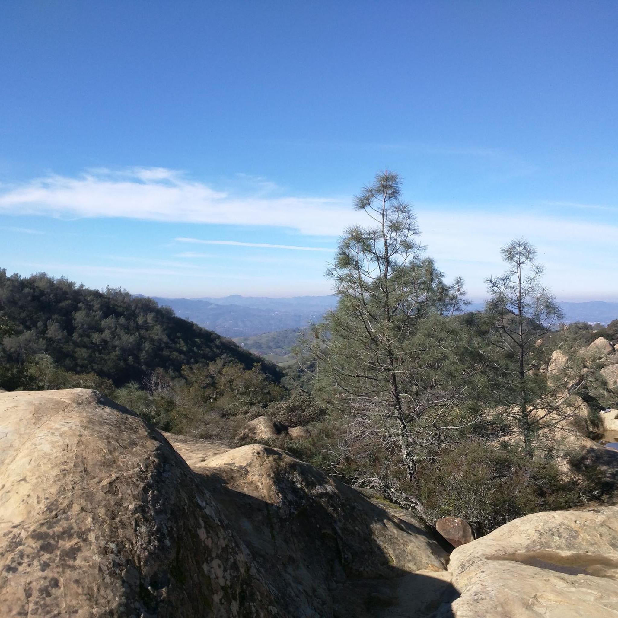
The Wind Caves are part of an area called Rock City in the Mount Diablo State Park. The Wind Caves are unique sandstone caves and tunnels that were formed by wind erosion over time. The caves vary in size, providing opportunities for hikers to wander through and appreciate the sculpted rock.
0
0
At this junction in the Mount Diablo State Park, you can choose whether you want to hike along Old Finley Road or Jeremiah Creek Trail. Just south of the junction, you can find Highland Ridge Trails as an additional possibility.
0
0

One of the fiercest peaks in the Bay. Always worth the effort. It’s often much cooler on the summit than the rest of the trails — there is a water spigot up there to fill up bottles. Also a store is open at some times. Don’t bank on it.
0
0

This double-track trail spans a cattle grazing area, with the eastern section offering a shaded and serene experience. However, some parts of the trail can be steep, with loose dirt and leaves, so it's best to be cautious. It's advisable to avoid riding in wet weather and the peak of summer, as the western half of the trail is exposed to the sun and can get extremely hot during summer.
1
0
Frequently Asked Questions
How many mountain bike trails are available around Blackhawk?
There are over 35 mountain bike routes around Blackhawk, Colorado, documented on komoot. These trails cater to various skill levels, with 6 easy, 24 moderate, and 5 difficult options.
What kind of terrain can I expect on mountain bike trails near Blackhawk?
Mountain biking around Blackhawk features rugged Rocky Mountain terrain, dense forests, and high-altitude vistas. Many routes incorporate historical mining sites and offer panoramic views of Gilpin County and the Continental Divide. You'll find a mix of challenging climbs, technical descents, and some trails designed specifically for downhill-only riding.
Are there any easy mountain bike trails suitable for beginners in Blackhawk?
Yes, Blackhawk offers several easy mountain bike trails. One option is the Old Finley Road, Highland Ridge, Black Hills and Sulphur Springs Loop, which is 7.4 miles long and takes about 1 hour 11 minutes to complete, leading through varied landscapes.
Where can I find challenging mountain bike trails with significant elevation gain?
For challenging rides with significant elevation, consider trails like the Mount Diablo Summit MTB Ride, a difficult 19.2-mile trail with over 1,000 meters of elevation gain, offering expansive views. Another demanding option is the Oyster Point and Knobcone Point Loop, a 23.5-mile path with substantial climbs.
What are some notable natural features or landmarks I might see while mountain biking in Blackhawk?
Many trails in Blackhawk offer stunning natural features and historical landmarks. You can experience the dramatic backdrop of the Rocky Mountains, dense forests, and high-altitude vistas. Specific highlights include the Mount Diablo Summit, Eagle Peak, and Devil's Pulpit, which offer panoramic views. The Maryland Mountain trail system also incorporates remnants of old mining towns and sites like the Queen of the West Mine.
What do other mountain bikers say about the trails in Blackhawk?
The mountain bike routes in Blackhawk are highly rated by the komoot community, with an average score of 4.9 stars from over 24 reviews. More than 224 mountain bikers have used komoot to explore Blackhawk's varied terrain, often praising the diverse trail systems and the unique blend of natural beauty and historical charm.
Are there any loop trails for mountain biking in Blackhawk?
Yes, Blackhawk offers several loop trails. Examples include the Oyster Point and Knobcone Point Loop, a challenging 23.5-mile route, and the Old Finley Road, Highland Ridge, Black Hills and Sulphur Springs Loop, an easier 7.4-mile option. The Black Hills Reservoir – Wall Pt. Road loop from Diablo is another moderate loop covering 10.5 miles.
What is the best time of year for mountain biking in Blackhawk?
The best time for mountain biking in Blackhawk is generally from late spring through early autumn. During these months, the weather is typically favorable, and trails are clear of snow. The region's high elevation means that winter conditions can bring snow and ice, making many trails unsuitable for biking.
Are there mountain biking opportunities in Golden Gate Canyon State Park near Blackhawk?
Yes, Golden Gate Canyon State Park, located just 15 minutes from Blackhawk, significantly expands the network of mountain bike trails. It offers 35 miles of trails, including the challenging Mule Deer Trail, known for its rocky sections and switchbacks. The park provides diverse options for various skill levels.
Where can I find information about parking or permits for mountain biking trails in Blackhawk?
For specific information regarding parking, permits, or trail access for areas like Maryland Mountain Quartz Valley Open Space Park, Golden Gate Canyon State Park, or Centennial Cone Trail, it's best to consult local resources. The official Blackhawk tourism website provides some general activity information: visitblackhawk.org.
Are there any trails specifically designed for downhill mountain biking in Blackhawk?
Yes, the Maryland Mountain Quartz Valley Open Space Park was designed with input from the Colorado Mountain Bike Association and includes bike-only, downhill-directional trails. Trails like "Hard Money" and "Fast Money" offer fast, downhill-only experiences with features such as berms.
Can I combine mountain biking with exploring historical sites in Blackhawk?
Absolutely. Many trails in and around Blackhawk, particularly within the Maryland Mountain trail system, weave through areas rich in gold rush history. You can explore remnants of old mining towns and sites like the Queen of the West Mine and the Bonanza Mill, adding a unique historical dimension to your ride.
Most popular attractions around Blackhawk

Get inspired with the komoot mobile app


Explore more
Browse the best MTB trails in other regions.
