The best running trails around Watsonville
203
runners
13
runs
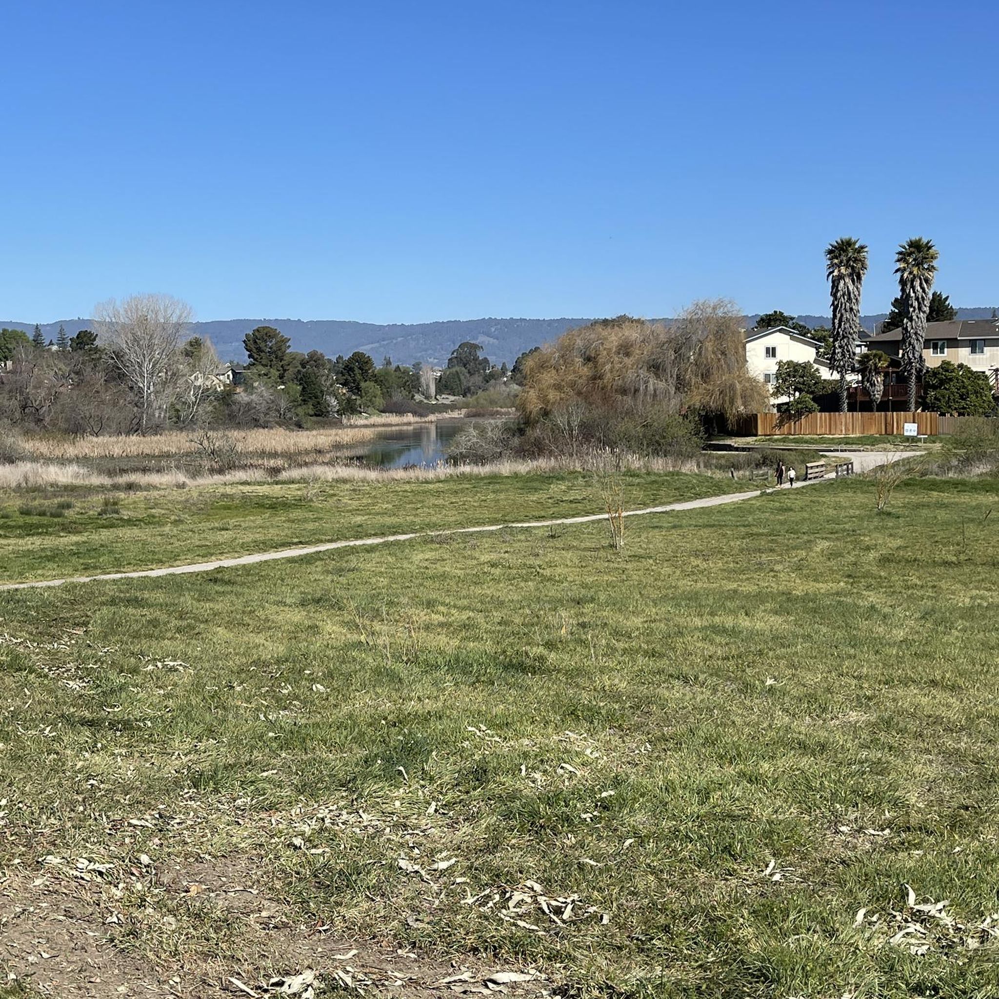
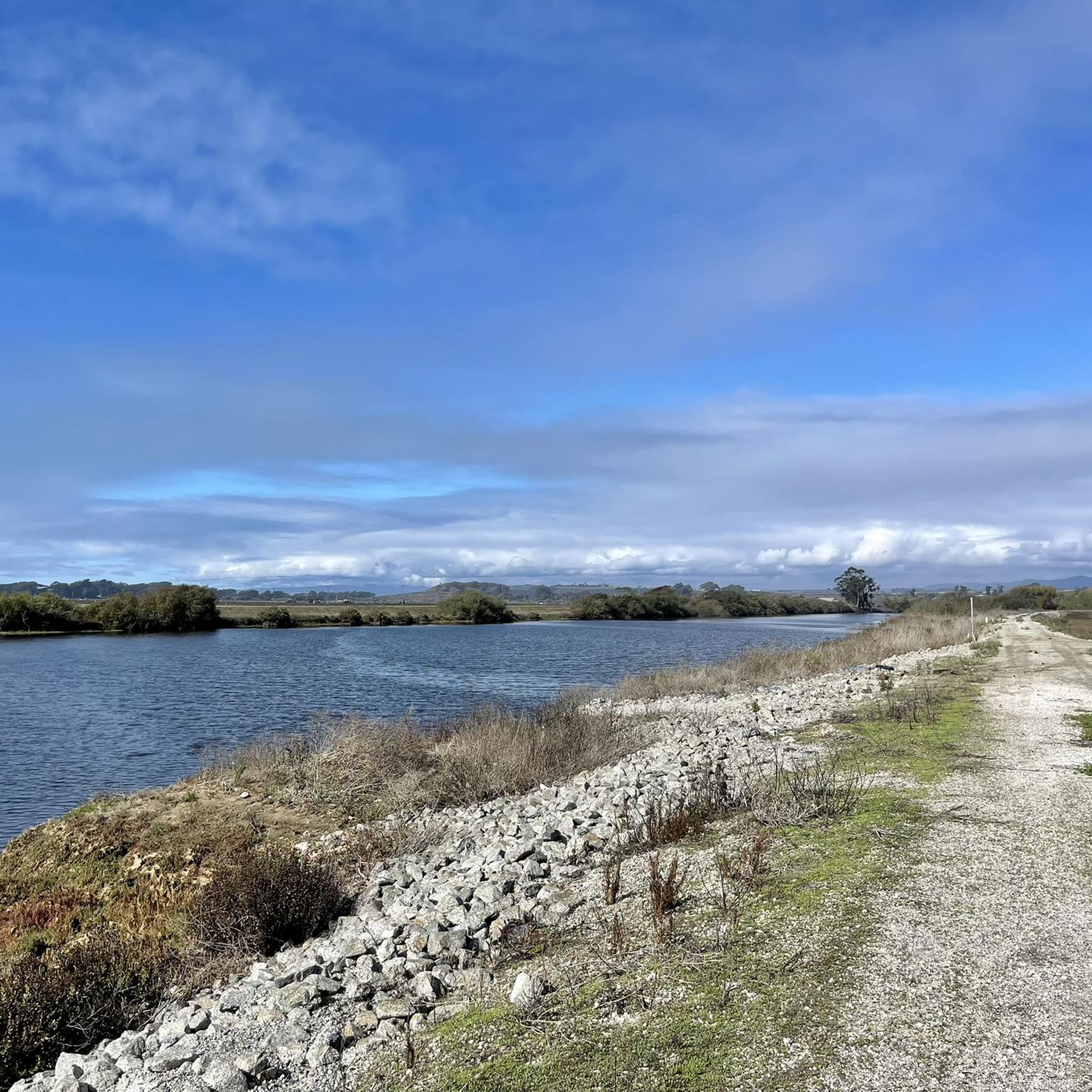
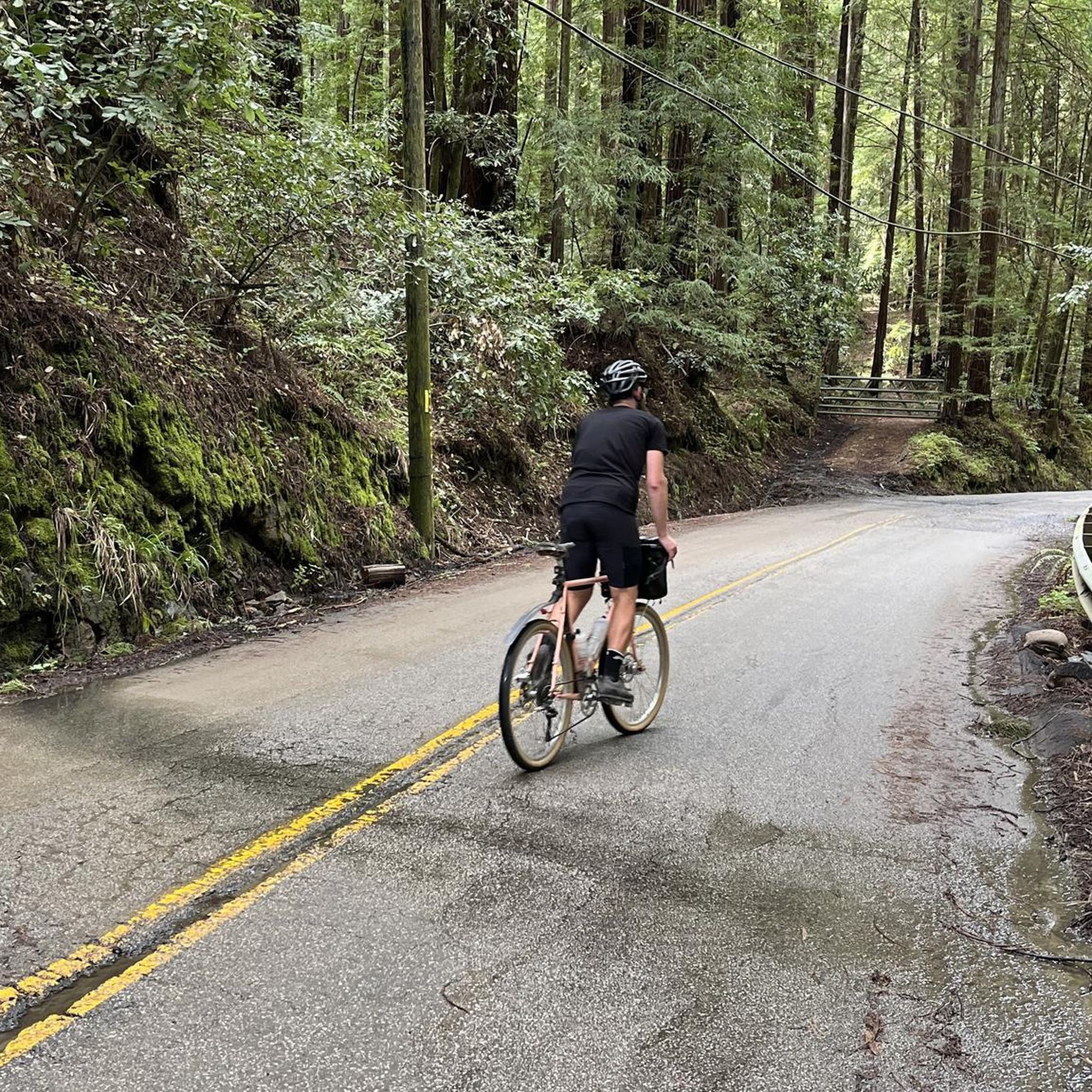
Jogging routes around Watsonville offer a diverse landscape for runners, characterized by a mix of moderate hills, canyons, and wooded trails. The region features varied terrain, including routes with significant elevation gain and others that follow more gentle loops. These paths provide opportunities to explore natural features such as canyons and forested areas, catering to different preferences for outdoor running.
Best jogging routes around Watsonville
- The most popular jogging route is Knibbs Knob Trail, a 3.7 miles (5.9 km)…
Last updated: October 19, 2026
3.25km
00:28
130m
130m
The Alec Canyon Trail offers a refreshing and surprisingly strenuous jog through the verdant heart of Uvas Canyon County Park. You'll navigate varied terrain, from old logging roads to winding…
2.18km
00:19
110m
110m
The Waterfall Loop Trail offers a delightful escape into nature, perfect for a quick jog or a refreshing walk. You'll navigate a mix of natural surfaces, from dirt paths to…

5.54km
00:42
130m
130m
Jog the moderate 3.4-mile Loop and Tan Oak Trail in Mount Madonna County Park, featuring diverse forests and the White Deer Pen.
2.49km
00:18
50m
50m
Jog the easy 1.5-mile Meadow and Tan Oak Trail Loop through redwood forests and meadows in Mount Madonna County Park.
5.87km
00:52
430m
430m
The Knibbs Knob Trail delivers a truly challenging jogging experience, taking you from dense forest into exposed sections with sweeping views. You'll navigate an old dirt fire road that climbs…
Get access to more routes and recommendations from other explorers.
Already have an account?
Our route recommendations are based on thousands of hikes, rides, and runs completed by other people on komoot.
Start today with a free account
Your next adventure awaits.

Tips from the Community

Nibbs Knob Trail is a fun trail that leads to an exposed overlook with a picnic table. Most of the trail on the way up is shaded, and there is tons of greenery and a waterfall to keep things interesting.
0
0
Blue Springs Trail is a nicely shaded trail thanks to all the redwood trees in the area. You can often spot plenty of deer on this nicely groomed trail!
0
0
Loop Trail is a well maintained and wide trail that twists through a large old growth forests. The trail has plenty of shade and is dog friendly! Cell service is reported to not be very good, so printing or downloading the route would be the best to not ruin your experience by getting lost.
1
0

This is a very small waterfall, which, with its nearby counterparts, makes the Waterfall Loop and Contour Trails special.
0
0
Along the Alec Canyon Trail there is a nice viewpoint to take a quick breather and enjoy the views that overlook a valley and mountain ridges.
0
0

The White Deer Pen at the top of Mount Madonna is one of the coolest exhibits at Mount Madonna County Park. There are a bunch of different trails and roads circling the park and traveling up to the higher viewpoints.
1
0
The White Deer Pen at the top of Mount Madonna is one of the coolest exhibits at Mount Madonna County Park. There are a bunch of different trails and roads circling the park and traveling up to the higher viewpoints.
0
0
This high point offers a great view of the surrounding mountains and wilderness.
0
0
Frequently Asked Questions
How many running routes are available in Watsonville?
There are over 15 running routes around Watsonville, offering a diverse range of experiences. These include options for various skill levels, from easy jogs to more challenging runs with significant elevation.
Are there easy running trails suitable for beginners in Watsonville?
Yes, Watsonville offers several easy running trails perfect for beginners. For example, the Meadow and Tan Oak Trail Loop is an easy 1.6-mile (2.5 km) path that takes about 18 minutes to complete, providing a gentle introduction to the area's natural beauty.
What are some longer running routes around Watsonville?
For those looking for a longer run, the Knibbs Knob Trail is a challenging 3.7-mile (5.9 km) route that typically takes around 52 minutes to complete, featuring notable elevation gain. Another good option is the Loop and Tan Oak Trail, which is about 3.4 miles (5.5 km) long.
Can I find running trails with scenic viewpoints in Watsonville?
Many running routes in Watsonville offer scenic views, particularly those that traverse hills and canyons. While specific viewpoints are not always marked, the varied terrain, including forested areas and open spaces, provides numerous opportunities for picturesque vistas of the surrounding landscape.
Are there any circular running routes in the Watsonville area?
Yes, several routes in Watsonville are designed as loops, allowing you to start and finish in the same location. The Waterfall Loop Trail is a popular 1.4-mile (2.2 km) circular path that takes you through natural landscapes, often completed in about 19 minutes.
What kind of terrain can I expect on running trails in Watsonville?
Running trails in Watsonville feature a diverse range of terrain. You can expect a mix of moderate hills, scenic canyons, and wooded trails. Some routes have significant elevation gain, while others offer more gentle, flat sections, catering to different preferences and fitness levels.
Are there any waterfalls along the running routes in Watsonville?
Yes, the region around Watsonville features natural attractions including waterfalls. The Waterfall Loop Trail is a great option if you're looking to incorporate a waterfall into your run. Additionally, nearby natural monuments include Granuja Falls and Upper Falls.
What can I see or explore near the running trails in Watsonville?
Beyond the trails themselves, Watsonville offers several points of interest. You can explore natural features like Uvas Reservoir or visit Manresa State Beach. For those interested in local trails, there's also the Ridge Trail and Cusacks Trail.
Is Watsonville a good place for family-friendly running or walking?
Watsonville offers various trails that can be enjoyed by families. While some routes are more challenging, there are easier, shorter loops like the Meadow and Tan Oak Trail Loop that are suitable for a family outing, combining running with a leisurely walk.
What do other runners enjoy most about jogging in Watsonville?
Runners frequently praise the diverse landscape of Watsonville, highlighting the mix of moderate hills, canyons, and wooded trails. The variety of terrain, from challenging ascents to gentle loops, is often mentioned as a key draw, providing options for different ability levels.
Are there any specific trails that are particularly popular among local runners?
Local runners often favor trails that offer a good mix of challenge and scenery. The Alec Canyon Trail, a moderate 2.0-mile (3.3 km) path winding through a scenic canyon, is a top choice for its varied terrain and natural beauty.
Most popular routes around Watsonville
Most popular attractions around Watsonville

Get inspired with the komoot mobile app


Explore more
Browse the best Running Trails & Routes in other regions.
