The best road cycling routes around Villa Park
4.7
(40)
3,200
riders
59
rides
Road cycling routes around Villa Park, California, are characterized by their access to scenic waterways and residential areas. The region features paved, multi-use trails alongside natural features like Santiago Creek, offering pleasant rides with minimal elevation changes. The terrain is generally flat to gently rolling, making it suitable for various fitness levels. While significant climbs are limited, the area provides extensive routes through suburban landscapes and natural corridors.
Best road cycling routes around Villa Park
- The most popular road cycling…
Last updated: July 10, 2026
4.7
(3)
252
riders
78.7km
03:34
330m
330m
Moderate road ride. Good fitness required. Mostly well-paved surfaces and easy to ride.
5.0
(1)
224
riders
59.3km
02:51
120m
120m
Moderate road ride. Good fitness required. Some segments of this route may be unpaved and difficult to ride.

Sign up for free
5.0
(1)
247
riders
The Santa Ana River Trail Bikeway – Santa Ana River Trail Bridge loop from Orange offers a wonderfully smooth road cycling experience, guiding you along a wide, paved asphalt path…
5.0
(2)
191
riders
72.2km
03:16
750m
750m
Embark on the Aliso Creek Bikeway – Santiago Canyon Road loop from Orange for a varied road cycling adventure that takes you from lush riparian woodlands to open, oak-studded hills.…
5.0
(1)
74
riders
28.2km
01:28
100m
100m
Easy road ride. Great for any fitness level. Mostly well-paved surfaces and easy to ride.
Get access to more routes and recommendations from other explorers.
Sign up for free
Already have an account?
Our route recommendations are based on thousands of hikes, rides, and runs completed by other people on komoot.
Start today with a free account
Your next adventure awaits.
Login or Signup


Tips from the Community

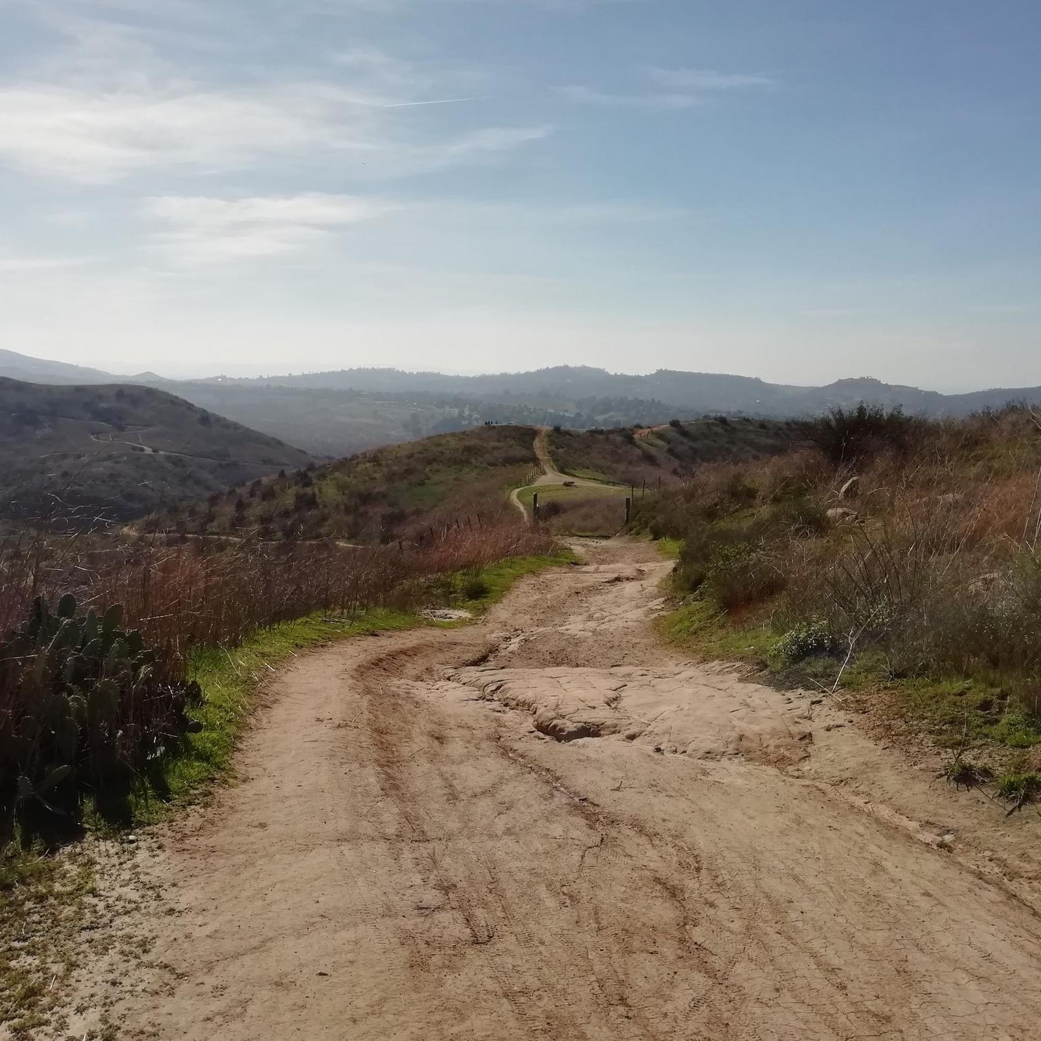
Santiago Canyon Road is a scenic favorite for road cyclists in Orange County. It’s a long, winding stretch with rolling hills, light traffic, and wide shoulders in most parts. The views of open hills and oak trees make the climb worth it, and you’ll find classic stops along the way for a break.
0
0
Cook’s Corner is a classic stop for cyclists riding through Santiago Canyon and one of the most popular biker hangouts in Southern California. It’s casual and bike-friendly, with shaded picnic tables and plenty of space to park. Grab a burger or a cold drink, rest your legs, and soak in the lively atmosphere—especially on weekends when it’s packed with motorcycles and live music.
0
0

Bring plenty of water. There only are water fountains midway in Anaheim.
0
0

This view of Sierra Peak showcases one of the highest and most easily identifiable peaks in northern Orange County. It stands at 3,045 feet above sea level.
1
0

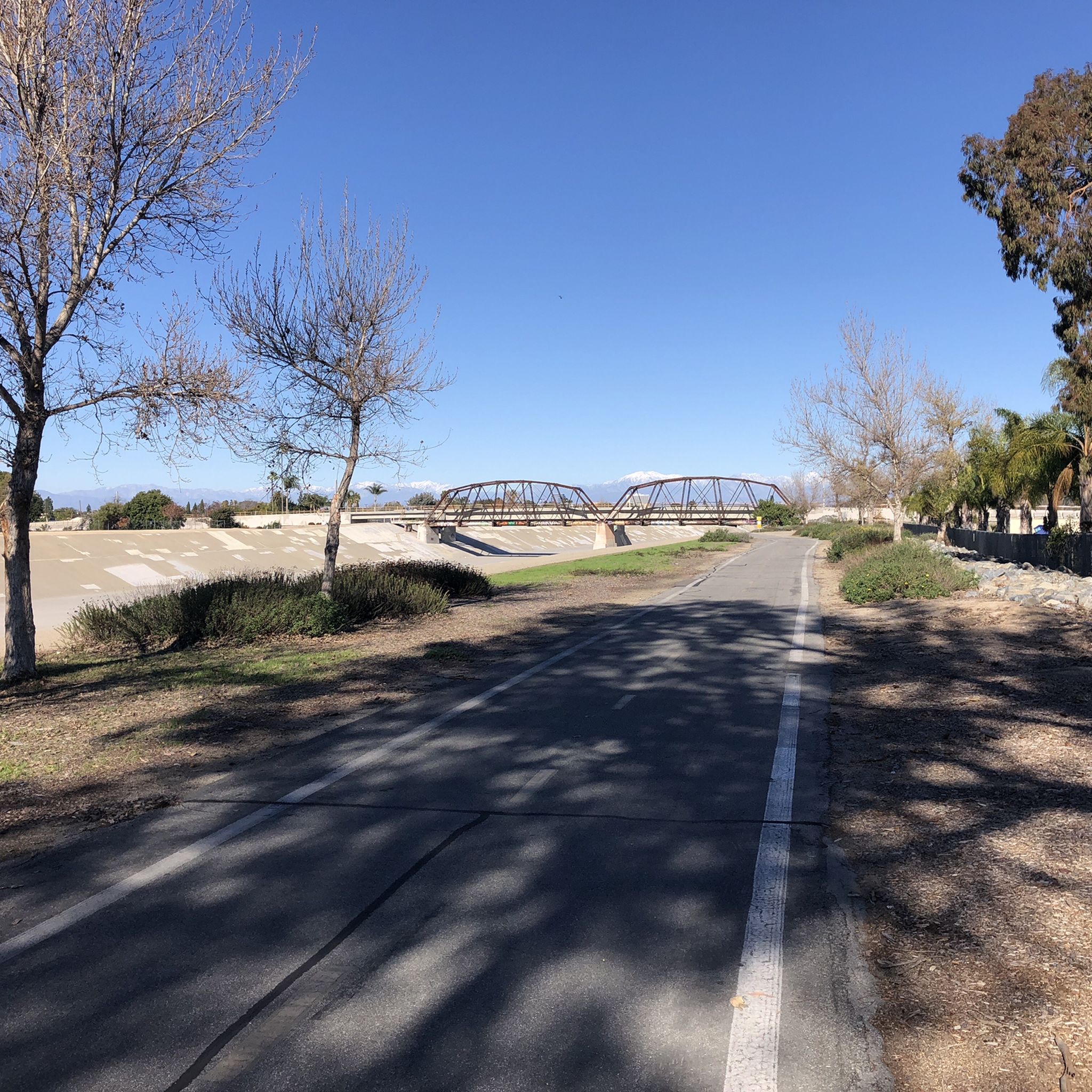
Nice wooden bridge along the Santa Ana River Trail. It takes you over the river and gives you a good view of the water.
1
0
Bike along the Santa Ana River Trail for a fantastic view of Angel Stadium’s iconic “Big A” sign, a 230-foot-tall landmark that originally served as the stadium's scoreboard. The halo atop the sign lights up after every Angels victory, glowing even brighter for home wins. Be sure to avoid the surrounding streets on game days, as the area can get crowded.
1
0

The trail here is paved and designed specifically for foot traffic and bikes with two separate cycling lanes. You get great views across Newport Bay to the ecological reserve as you pass by a couple small parks and vista points.
0
0

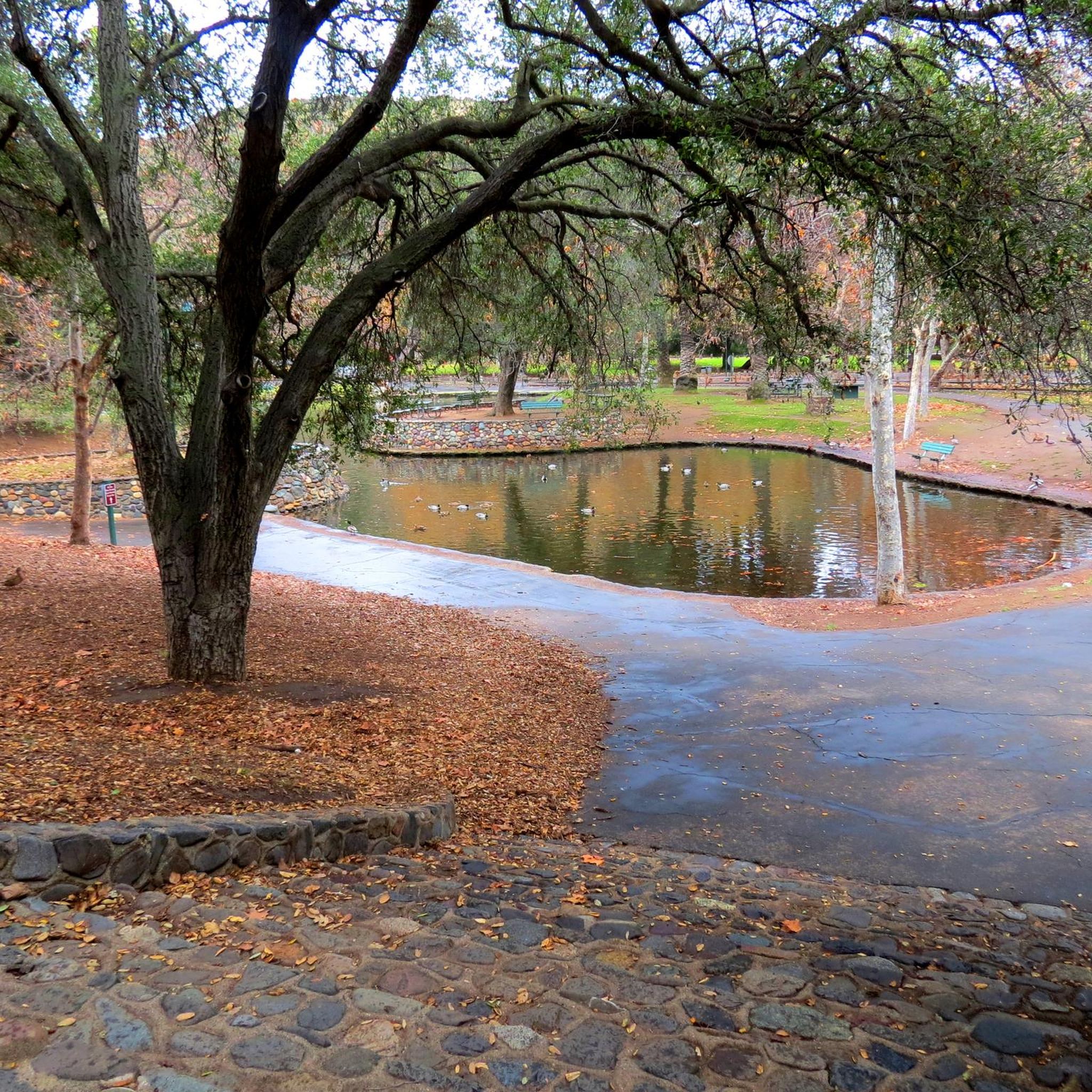
Set along the edge of the Santa Ana Canyon this park offers visitors a variety of amenities such as sports fields, picnic & BBQ areas, fishing, playgrounds, and more. The Santa Ana Trail runs along the edge of the park and allows you to access other nearby areas as well.
0
0
Frequently Asked Questions
What is the general terrain like for road cycling around Villa Park?
Road cycling routes in Villa Park, California, are characterized by generally flat to gently rolling terrain with minimal elevation changes. The area provides extensive routes through suburban landscapes and natural corridors, making it suitable for various fitness levels.
How many road cycling routes are available in the Villa Park area?
There are over 60 road cycling routes around Villa Park. This includes 22 easy routes, 37 moderate routes, and 5 more challenging options, catering to a wide range of abilities.
Are there any family-friendly road cycling routes in Villa Park?
Yes, Villa Park offers several family-friendly road cycling options. The View of Sierra Peak – Santa Ana River Trail Bridge loop from Canyon High School is an easy 21.0-mile route. Additionally, the Santiago Creek Bike Trail, starting from the Villa Park Town Center, is a paved, dual-lane trail ideal for family cycling.
What natural features can I expect to see while road cycling in Villa Park?
Many routes follow natural waterways, offering scenic views and opportunities to observe wildlife. You can cycle alongside Santiago Creek and the Santa Ana River. Highlights include the Santa Ana River Trail at Yorba Regional Park and views of the Upper Peters Canyon Reservoir.
Are there any notable landmarks or points of interest along the road cycling routes?
Yes, several routes pass by interesting landmarks. You might spot the Big A Sign at Angel Stadium and Angel Stadium itself. The Santa Ana River Trail Bridge is also a prominent feature on some rides.
What do other road cyclists enjoy most about road cycling in Villa Park?
The road cycling routes around Villa Park are highly rated by the komoot community, with an average score of 4.8 stars from over 28 reviews. Cyclists often praise the continuous paved surfaces, the mix of urban and natural scenery, and the accessibility of the river parkways.
Are there any long-distance road cycling routes available?
Yes, for those seeking longer rides, the Santa Ana River Trail – Santa Ana River Trail loop from Anaheim Canyon is a popular moderate route spanning 37.6 miles (60.5 km). Another option is the Anaheim Coves Trail – Anaheim Coves Trail loop from Orange, which is 29.2 miles (47.1 km).
Can I find loop routes for road cycling in Villa Park?
Many of the popular road cycling routes in Villa Park are designed as loops, offering convenient starting and ending points. Examples include the Santa Ana River Trail loop from Anaheim Canyon and the Anaheim Coves Trail loop from Orange.
What is the best time of year for road cycling in Villa Park?
Villa Park, California, generally offers pleasant cycling conditions year-round due to its mild climate. However, spring and fall often provide the most comfortable temperatures for longer rides, avoiding the hotter summer months.
Are there any easy road cycling routes for beginners?
Absolutely. There are 22 easy routes available. A great option for beginners is the Santa Ana River Trail – Santa Ana River Trail loop from Orange, an easy 22.7-mile (36.5 km) path with minimal elevation gain.
Where can I find parking for the road cycling trails?
While specific parking lots for each trail are not detailed, many routes start from accessible locations like Canyon High School or Orange, and the Santiago Creek Bike Trail begins near the Villa Park Town Center. Parking is generally available in these areas or at nearby parks.
Most popular attractions around Villa Park

Get inspired with the komoot mobile app


Explore more
Browse the best Road cycling routes in other regions.
