The best road cycling routes around Beyenburger Stausee
4.5
(842)
9,693
riders
127
rides
Road cycling around Beyenburger Stausee features a landscape characterized by river valleys, reservoirs, and former railway lines converted into cycling paths. The region offers varied terrain, from flat sections along water bodies to rolling hills and moderate climbs. This area, situated near Wuppertal, provides a mix of natural scenery and accessible routes for road cyclists.
Best road cycling routes around Beyenburger Stausee
- The most popular road cycling route is Nordbahntrasse – View of Wuppertal loop from Schwelm, a 20.7…
Last updated: July 3, 2026
4.4
(78)
657
riders
33.3km
01:33
380m
380m
Moderate road ride. Good fitness required. Mostly well-paved surfaces and easy to ride.
3.7
(3)
59
riders
70.5km
03:09
730m
730m
Moderate road ride. Good fitness required. Mostly well-paved surfaces and easy to ride.

Sign up for free
4.7
(10)
70
riders
40.7km
01:54
390m
390m
Moderate road ride. Good fitness required. Mostly well-paved surfaces and easy to ride.
4.4
(5)
58
riders
48.1km
02:24
680m
680m
Moderate road ride. Good fitness required. Mostly well-paved surfaces and easy to ride.
5.0
(3)
49
riders
67.9km
03:04
670m
670m
Moderate road ride. Good fitness required. Some segments of this route may be unpaved and difficult to ride.
Get access to more routes and recommendations from other explorers.
Sign up for free
Already have an account?
Our route recommendations are based on thousands of hikes, rides, and runs completed by other people on komoot.
Start today with a free account
Your next adventure awaits.
Login or Signup


Other adventures around Beyenburger Stausee

Tips from the Community

At 8% incline, you are allowed to stop and enjoy the scenery 😉
0
0

During rush hour, there is a lot of traffic here and some motorcycles on weekends. However, the asphalt is very good and the route is really picturesque with some good views.
0
0

The route is very nice to drive. Not very busy, especially in the evening.
0
0

Currently closed since August 18, 2025, from 8:00 a.m. to 5:00 p.m.!
2
0

for shooting or relaxing rolling!
0
0


After a great descent from Breckerfeld you have a beautiful view of the Ennepetal Dam.
4
1

At Holthausen you have a beautiful view down to the reservoir
6
0
Frequently Asked Questions
Are there easy road cycling routes suitable for beginners around Beyenburger Stausee?
Yes, the region offers a good selection of easier routes. There are 15 easy road cycling routes available. Many routes utilize former railway lines, like sections of the Nordbahntrasse, which provide flatter, well-maintained paths. For example, the Nordbahntrasse – View of Wuppertal loop from Schwelm is a moderate route that incorporates this feature.
What are the typical distances for road cycling routes in the Beyenburger Stausee area?
Road cycling routes around Beyenburger Stausee vary significantly in length. You'll find routes ranging from shorter rides of around 30 kilometers to more extensive tours exceeding 70 kilometers. For instance, the Nordbahntrasse – View of Wuppertal loop from Schwelm is about 33 kilometers, while the Uelfebad Pavilion – View of Bevertalsperre Dam loop from Schwelm covers approximately 73 kilometers.
Where can I find parking for road cycling routes around Beyenburger Stausee?
Many routes start from towns like Schwelm or Radevormwald, where public parking is generally available. Specific starting points often have designated parking areas, especially near popular trailheads or reservoirs. It's advisable to check the route details on komoot for precise parking information for your chosen tour.
Are there family-friendly road cycling routes near Beyenburger Stausee?
While many routes involve some elevation, the sections along converted railway lines, such as parts of the Nordbahntrasse, are generally flatter and more suitable for families or those seeking a gentler ride. These paths often avoid heavy traffic and offer a pleasant cycling experience.
What is the best time of year for road biking around Beyenburger Stausee?
The spring, summer, and early autumn months (roughly April to October) are generally the most pleasant for road cycling around Beyenburger Stausee. During these periods, the weather is typically milder, and the natural scenery, including the reservoirs and river valleys, is at its most vibrant. Always check local weather forecasts before heading out.
Are there cafes or refreshment stops along the road cycling trails?
Yes, given the region's popularity and proximity to towns, you'll find various cafes, restaurants, and snack stops, particularly in villages like Beyenburg or along the larger reservoirs. Planning your route with komoot allows you to identify points of interest and potential refreshment stops along the way.
What scenic viewpoints or attractions can I see along the road cycling routes?
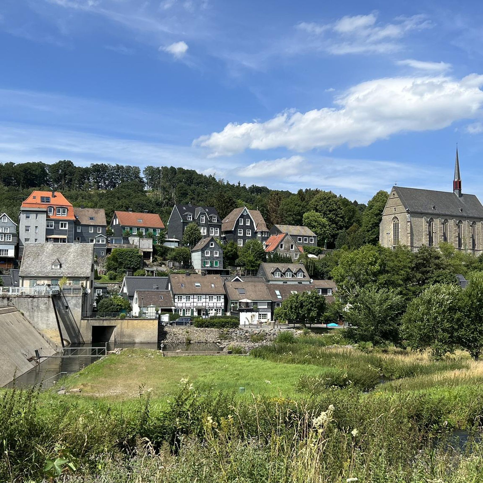
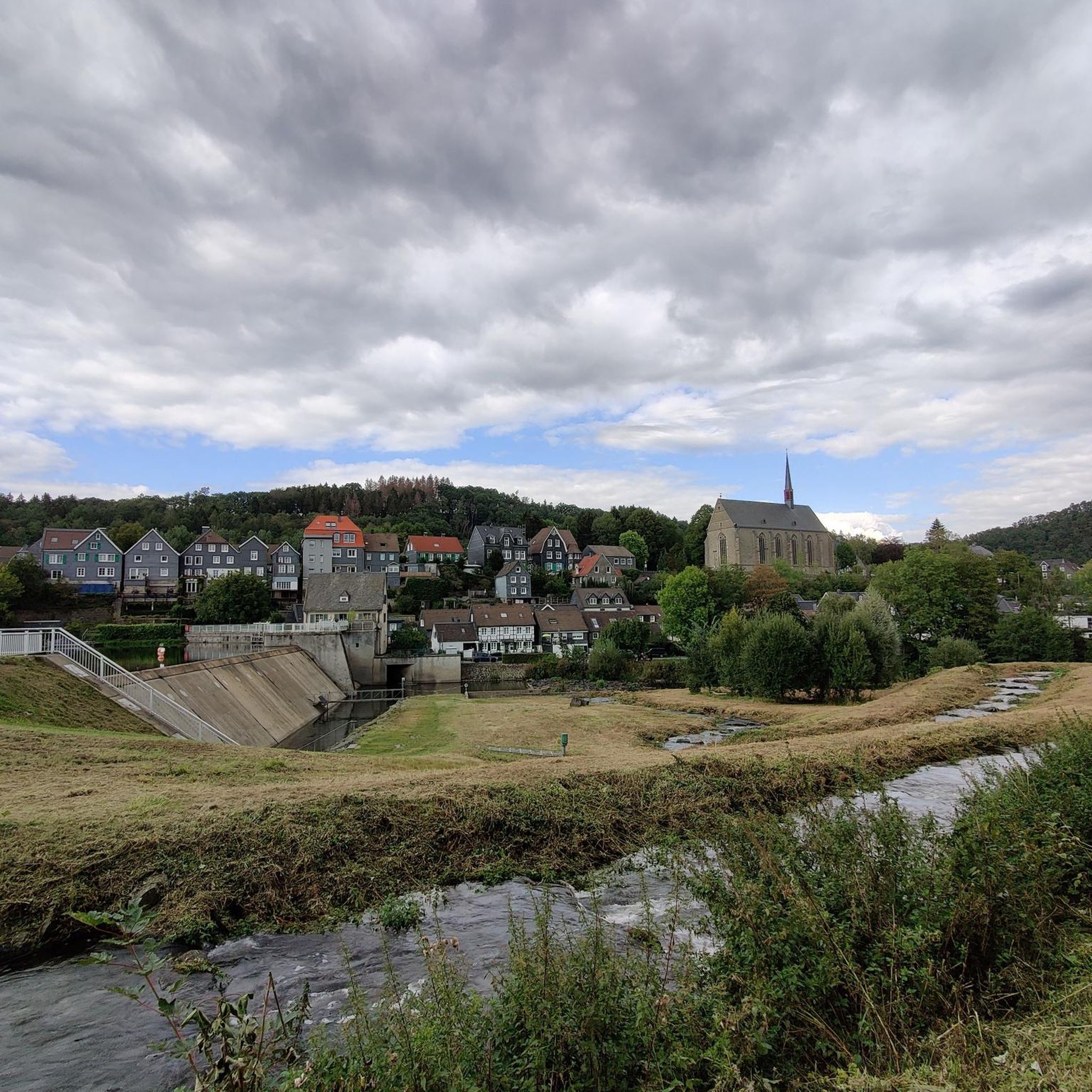
The routes offer numerous scenic views, especially of the various reservoirs and the surrounding Bergisches Land. You can enjoy views of the Beyenburg Reservoir, the View of Beyenburg and St. Mary Magdalene Abbey, and the Blue Bridge over the Beyenburger Reservoir. The Uelfebad Pavilion – View of Bevertalsperre Dam loop from Schwelm also provides stunning views of the Bevertalsperre Dam.
Are there circular road cycling routes available?
Many of the road cycling routes around Beyenburger Stausee are designed as loops, allowing you to start and end at the same point without retracing your path. Examples include the View of the Ennepetalsperre – View of the Ennepetal Dam loop from Schwelm and the Wupper River Near Laaken – Beyenburg — Historic Village loop from Radevormwald.
What are the more challenging road cycling routes in the area?
For experienced road cyclists seeking a challenge, the region offers routes with significant elevation gain. The Uelfebad Pavilion – View of Bevertalsperre Dam loop from Schwelm is classified as difficult, featuring nearly 1000 meters of ascent over its 73-kilometer length. There are 46 difficult routes in total.
What do other road cyclists enjoy most about road cycling in Beyenburger Stausee?
The area is highly rated by the komoot community, with an average score of 4.6 stars from over 800 reviews. Reviewers often praise the varied terrain, which combines flat sections along water bodies and former railway lines with rolling hills, as well as the scenic views of the reservoirs and the natural landscape.
How many road cycling routes are available around Beyenburger Stausee?
There are over 130 road cycling routes available around Beyenburger Stausee, catering to various skill levels. This includes 15 easy, 74 moderate, and 46 difficult routes, ensuring options for everyone from beginners to experienced cyclists.
Can I explore historical sites or villages while road cycling?
Yes, the region is dotted with charming villages and historical points of interest. The Beyenburg — Historic Village itself is a notable attraction, offering a glimpse into the area's past. Routes often pass through or near such locations, allowing for cultural stops during your ride.
Most popular routes around Beyenburger Stausee
Most popular attractions around Beyenburger Stausee

Get inspired with the komoot mobile app


Explore more
Browse the best Road cycling routes in other regions.
